Mona Bents Plantation
Wood, Forest in Lancashire Burnley
England
Mona Bents Plantation

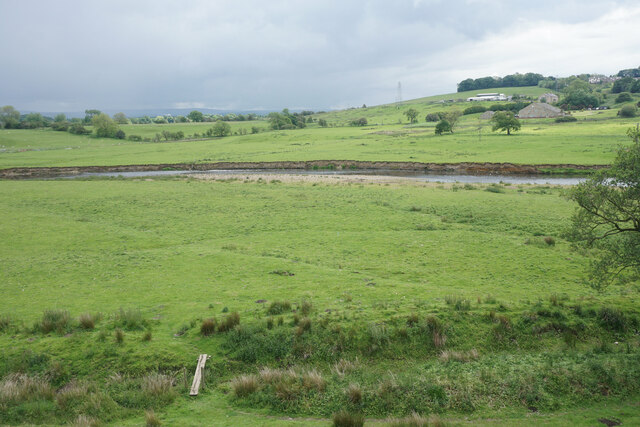
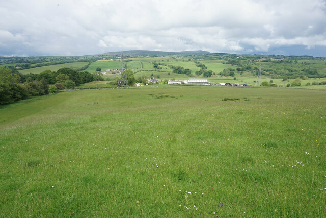
Mona Bents Plantation is a sprawling woodland situated in the county of Lancashire, England. Covering a large area, the plantation is known for its abundant and diverse collection of trees, creating a picturesque forest landscape. The plantation is named after the nearby Mona Bents village, adding to its local significance.
The woodland boasts a rich history, dating back several centuries. It is believed that the plantation was established in the 18th century, with the primary purpose of providing timber for the thriving local industries during that era. Over time, the plantation expanded and now stands as a testament to Lancashire's industrial heritage.
Mona Bents Plantation is home to a wide variety of tree species, including oak, beech, birch, and pine, among others. The dense vegetation provides a habitat for numerous wildlife species, making it a popular spot for nature enthusiasts and birdwatchers. The forest floor is adorned with a carpet of wildflowers, adding to the area's natural charm.
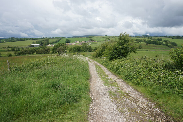
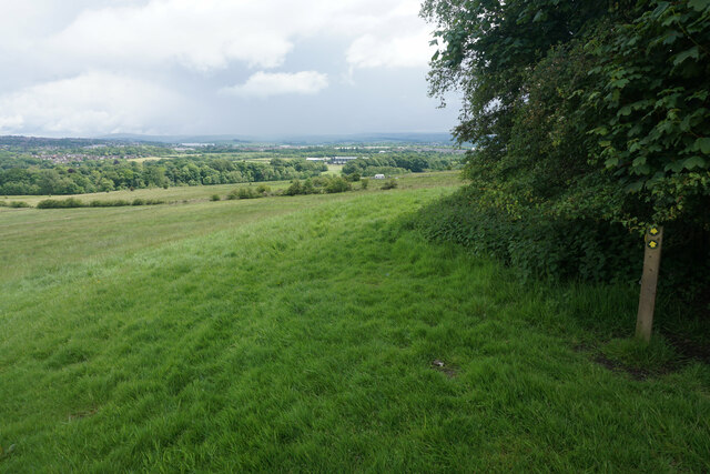
The plantation offers a range of recreational opportunities for visitors. There are well-maintained walking trails that wind through the woodland, allowing visitors to explore the natural beauty at their own pace. The serene environment is also ideal for picnics and family outings.
Mona Bents Plantation is a cherished local landmark, attracting visitors from Lancashire and beyond. Its scenic beauty, combined with its historical significance, makes it a must-visit destination for those seeking a tranquil escape in the heart of nature.
If you have any feedback on the listing, please let us know in the comments section below.
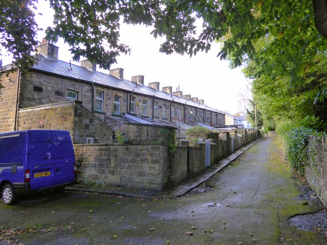
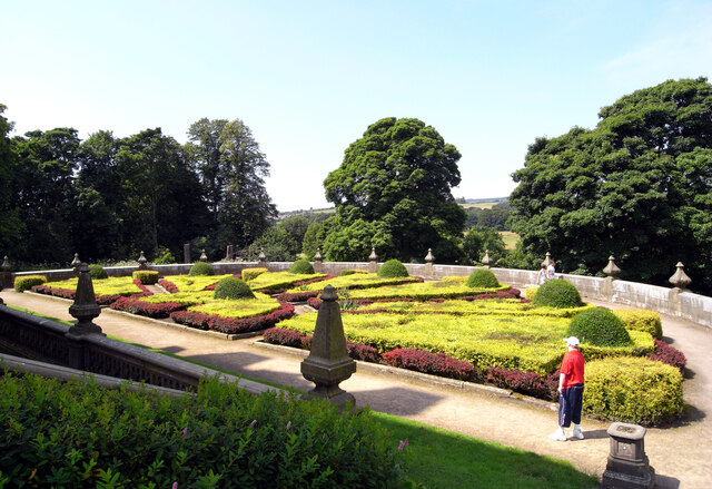
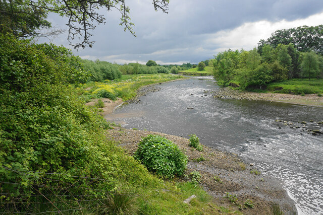
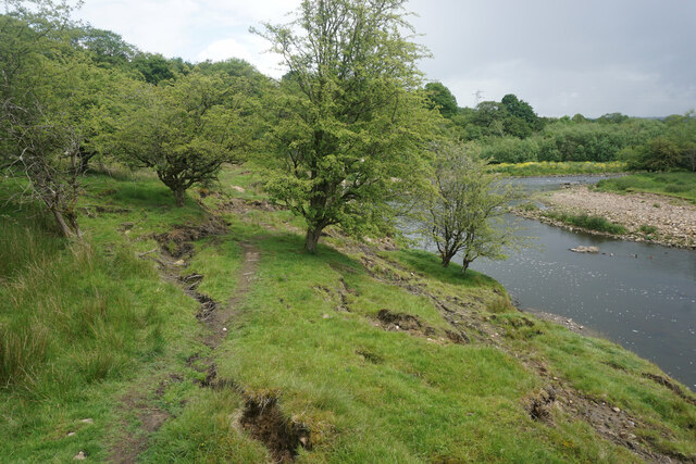
Mona Bents Plantation Images
Images are sourced within 2km of 53.807314/-2.2975164 or Grid Reference SD8034. Thanks to Geograph Open Source API. All images are credited.


Mona Bents Plantation is located at Grid Ref: SD8034 (Lat: 53.807314, Lng: -2.2975164)
Administrative County: Lancashire
District: Burnley
Police Authority: Lancashire
What 3 Words
///worker.automate.charcoal. Near Padiham, Lancashire
Nearby Locations
Related Wikis
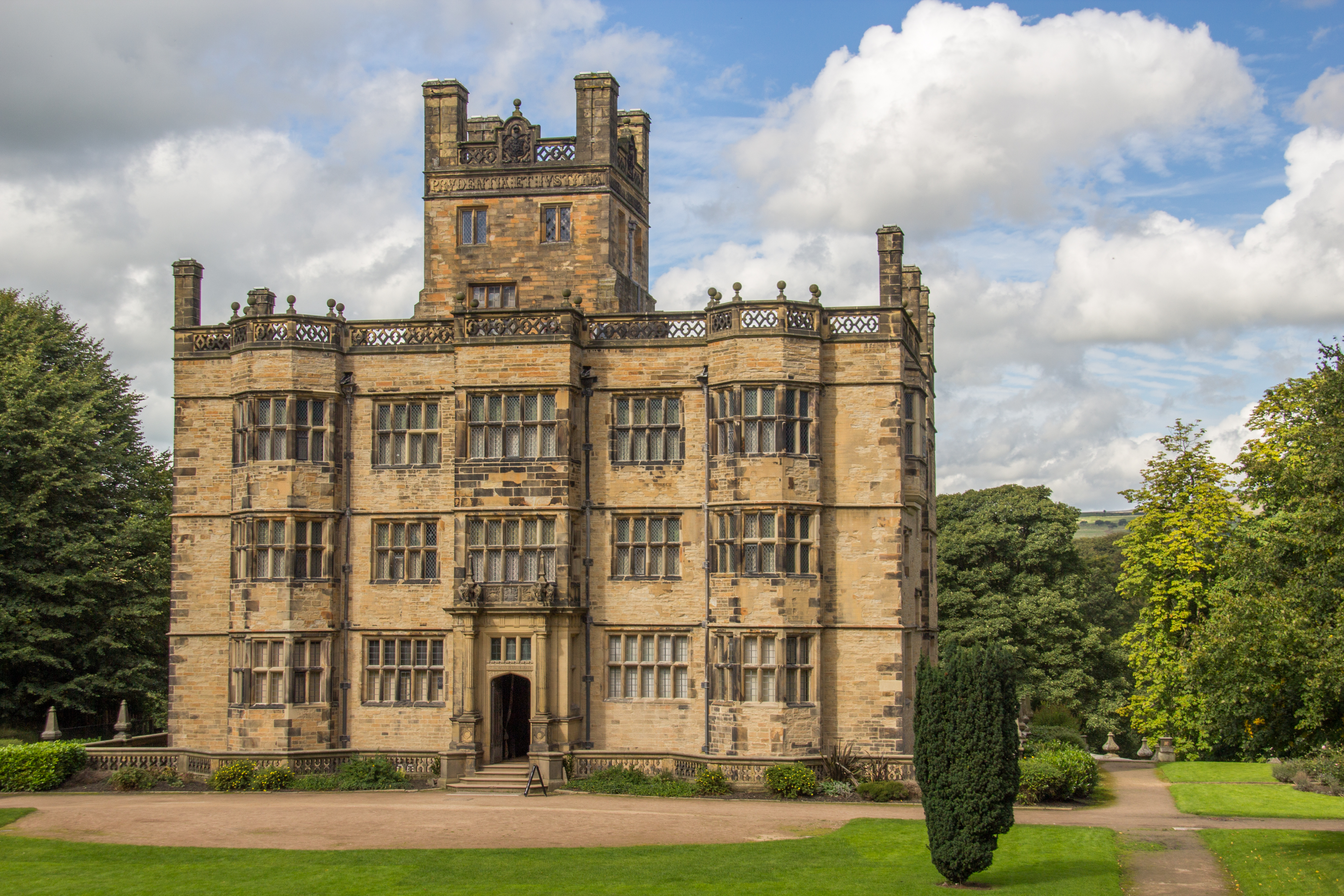
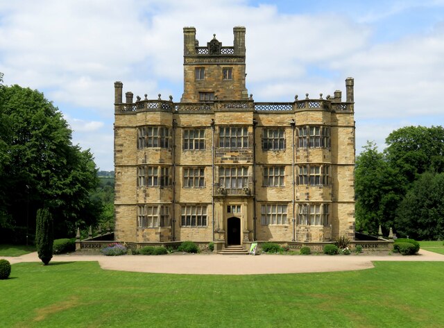
Gawthorpe Hall
Gawthorpe Hall is an Elizabethan country house on the banks of the River Calder, in Ightenhill, a civil parish in the Borough of Burnley, Lancashire, England...

Great Barn, Ightenhill
Great Barn is an historic building in the English civil parish of Ightenhill, Lancashire. Built around 1605 about 100 metres (330 ft) west of Gawthorpe...

Gawthorpe (ward)
Gawthorpe is an electoral ward in the non-metropolitan district of Burnley in Lancashire, England. The population of the Burnley Ward at the 2011 census...

Shuttleworth College, Padiham
Shuttleworth College, formerly Gawthorpe High School, is a mixed 11–16 foundation secondary school located in Padiham, Lancashire, England. == History... ==

Padiham Town Hall
Padiham Town Hall is a municipal building in Burnley Road, Padiham, Lancashire, England. The town hall, which was the headquarters of Padiham Urban District...

Burnley High School
Burnley High School is a mixed secondary free school located in the town and Borough of Burnley, Lancashire, England. The school opened in September 2014...

Burnley Grammar School
Burnley Grammar School was latterly, a state-funded selective boys grammar school, situated in Byron Street in Burnley, Lancashire. However, during its...
Padiham
Padiham ( PAD-i-əm) is a market town and civil parish on the River Calder, in the Borough of Burnley in Lancashire, England. It is located north west of...
Related Videos

Leeds Liverpool Canal boating holiday 2022 #Silsdenboats #canalboat #Canal #TheWildes
Made with Film Maker https://play.google.com/store/apps/details?id=com.cerdillac.filmmaker.

OllyCom are Walking With the Wounded with 1%
OllyCom Ltd make the decision to donate 1% of profits to walking with the wounded to help raise awareness and support mental ...

Family Narrowboat Holiday on the Leeds Liverpool Canal
(ad) Our weekend break sailing the canals of the UK. We hired a narrowboat from Anderton Marina and sailed the Leeds ...

Gawthorpe Hall - Dog Walking in Winter
Gawthorpe Hall - Dog Walking in Winter For more on our walk, read our blog post at ...
Nearby Amenities
Located within 500m of 53.807314,-2.2975164Have you been to Mona Bents Plantation?
Leave your review of Mona Bents Plantation below (or comments, questions and feedback).