Bavelaw Castle
Heritage Site in Midlothian
Scotland
Bavelaw Castle
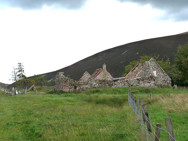
Bavelaw Castle is an ancient ruins located in Midlothian, Scotland. Situated on the slopes of the Pentland Hills, the castle holds a significant historical and cultural importance in the region. Although now reduced to mere remnants, the ruins provide a glimpse into the castle's former grandeur.
The origins of Bavelaw Castle can be traced back to the 15th century when it was built as a fortified tower house. It served as a stronghold for the Bavelaw family, who were prominent landowners in the area. Over the centuries, the castle was expanded and modified, reflecting the changing architectural styles and needs of its inhabitants.
Today, the ruins consist of a partially collapsed tower and remnants of outer walls. Despite its dilapidated state, the castle still exudes an aura of medieval charm. Visitors can explore the site and imagine its former glory, with the surrounding landscape providing a picturesque backdrop.
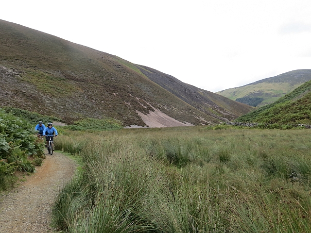
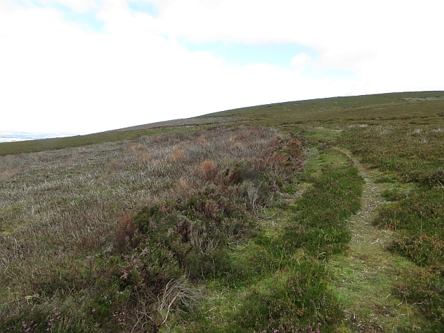
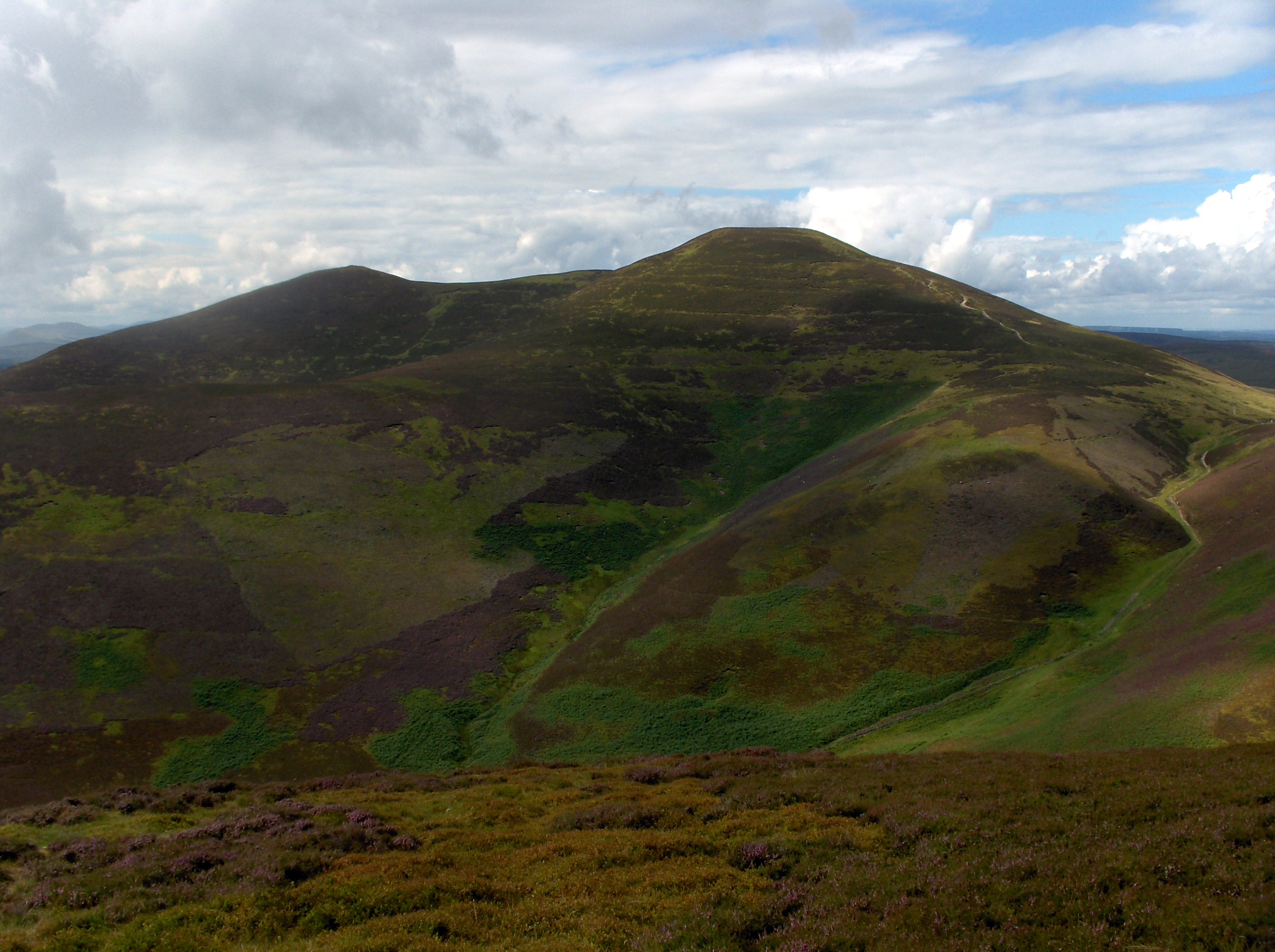
Bavelaw Castle is a popular destination for history enthusiasts, hikers, and photographers. Its location amidst the Pentland Hills offers breathtaking views of the surrounding countryside and opportunities for outdoor activities. The castle is also a designated heritage site, protected and preserved by local authorities.
While there are no visitor facilities or guided tours available at the site, the ruins of Bavelaw Castle offer a unique opportunity to connect with Scotland's rich history and appreciate the architectural heritage of the region.
If you have any feedback on the listing, please let us know in the comments section below.
Bavelaw Castle Images
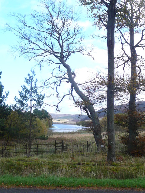
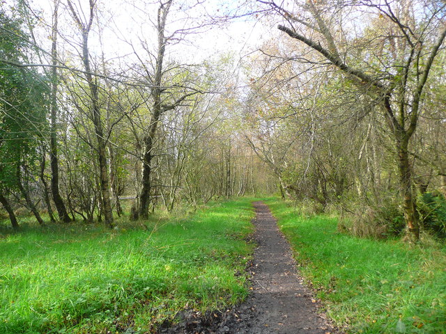
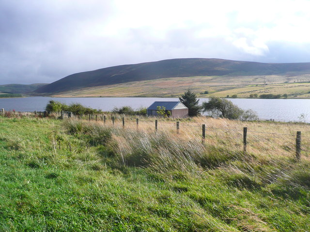
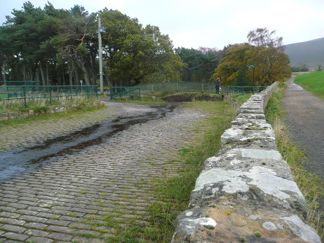
Images are sourced within 2km of 55.851/-3.3313 or Grid Reference NT1662. Thanks to Geograph Open Source API. All images are credited.
Bavelaw Castle is located at Grid Ref: NT1662 (Lat: 55.851, Lng: -3.3313)
What 3 Words
///undivided.panel.upstairs. Near Balerno, Edinburgh
Nearby Locations
Related Wikis

Bavelaw Castle
Bavelaw Castle is a historic house in the City of Edinburgh Council area, Scotland. It is north of Hare Hill in the Pentland Hills, four miles west of...

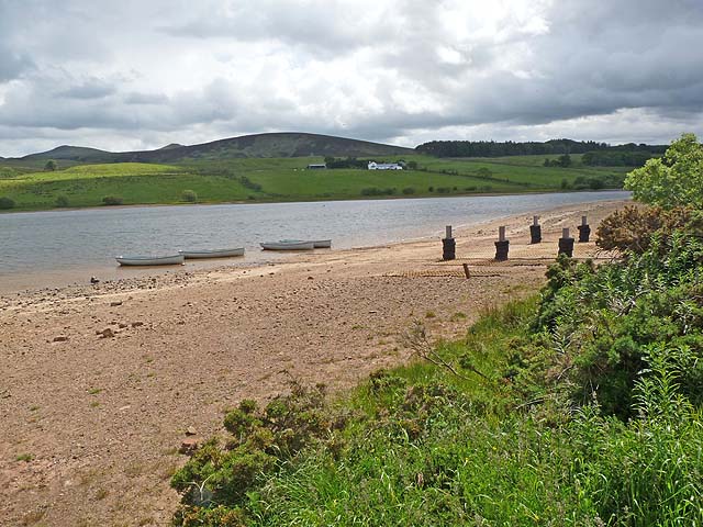
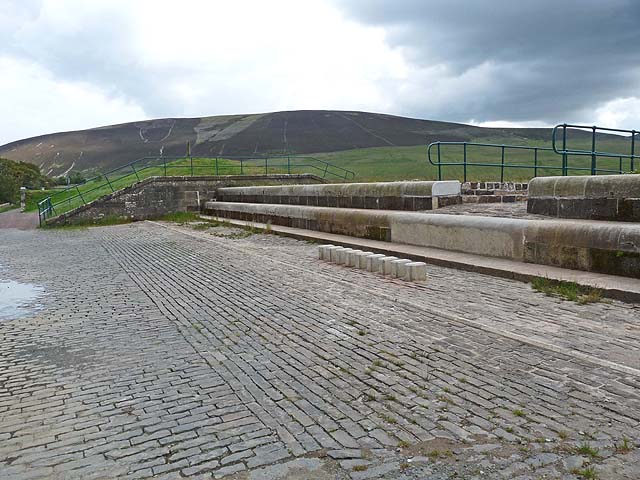
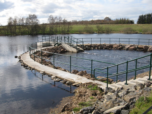
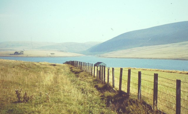
Threipmuir Reservoir
Threipmuir Reservoir is a reservoir in the City of Edinburgh Council area, Scotland, UK. It is situated to the south of Edinburgh at the base of the Pentland...

Harlaw Reservoir
Harlaw Reservoir is a small reservoir in the City of Edinburgh Council area, Scotland, UK, situated at the base of the Pentland Hills near Currie and Balerno...

Loganlea Reservoir
Loganlea Reservoir is a small reservoir in the Pentland Hills, Midlothian, Scotland, UK. The Logan Burn connects the reservoir with Glencorse Reservoir...
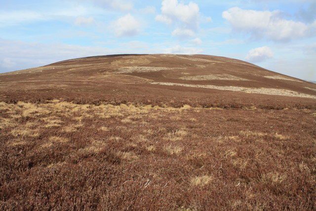
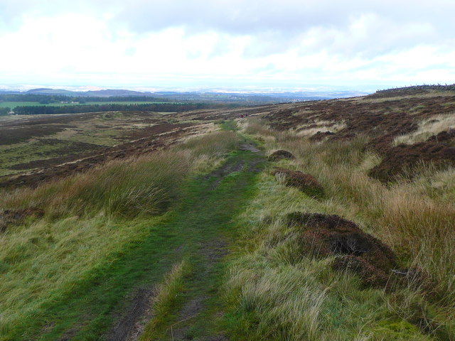
Scald Law
Scald Law is a hill in Midlothian, Scotland. At 579 metres (1,900 ft) it is the highest of the Pentland Hills. The hill is composed of Devonian volcanic...

South Black Hill
South Black Hill is a hill in the Pentland Hills range of Scotland. It is located in the west of Midlothian on the east flank of the approximately 25 km...

Carnethy Hill
Carnethy Hill, the second highest of the Pentland Hills, is a hill 3 miles (5 km) north-west of Penicuik, Scotland. It lends its name to the Carnethy 5...

Malleny House and Garden
The Malleny House and Garden is an historic house and garden owned by the National Trust for Scotland in Balerno, 6 mi (9.7 km) southwest of Edinburgh...
Nearby Amenities
Located within 500m of 55.851,-3.3313Have you been to Bavelaw Castle?
Leave your review of Bavelaw Castle below (or comments, questions and feedback).