Barley Pound
Heritage Site in Hampshire Hart
England
Barley Pound

Barley Pound is a historical site located in Hampshire, England. It is known for its significant heritage and archaeological value. The site is situated near the village of Buriton, atop a chalk hill known as Barley Hill.
The main feature of Barley Pound is the Iron Age hillfort, which dates back to around 500 BC. The hillfort is enclosed by a series of earthworks and ditches, forming a circular shape with a diameter of approximately 180 meters. These earthworks are believed to have served as a defensive structure, protecting the settlement within.
Archaeological excavations at Barley Pound have revealed evidence of Iron Age occupation, including the remains of roundhouses and storage pits. The site has also yielded artifacts such as pottery fragments, tools, and animal bones, providing insight into the daily life and activities of its inhabitants.
In addition to its Iron Age significance, Barley Pound is also associated with Roman occupation. Roman pottery has been discovered on the site, suggesting that it may have been reused or inhabited during this period as well.
Today, Barley Pound stands as a captivating heritage site, attracting visitors interested in the region's ancient history. The earthworks and ditches of the hillfort can still be seen, offering a glimpse into the past and a chance to explore the site's rich archaeological heritage.
If you have any feedback on the listing, please let us know in the comments section below.
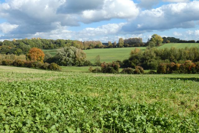
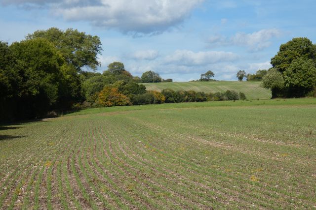
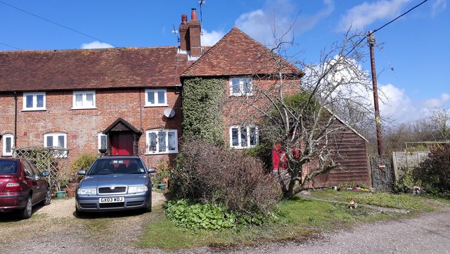
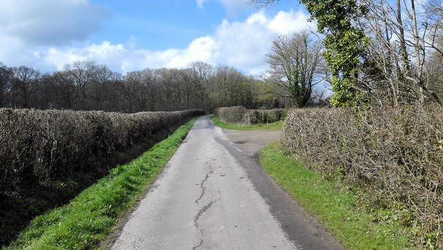
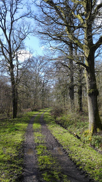
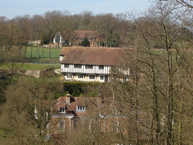
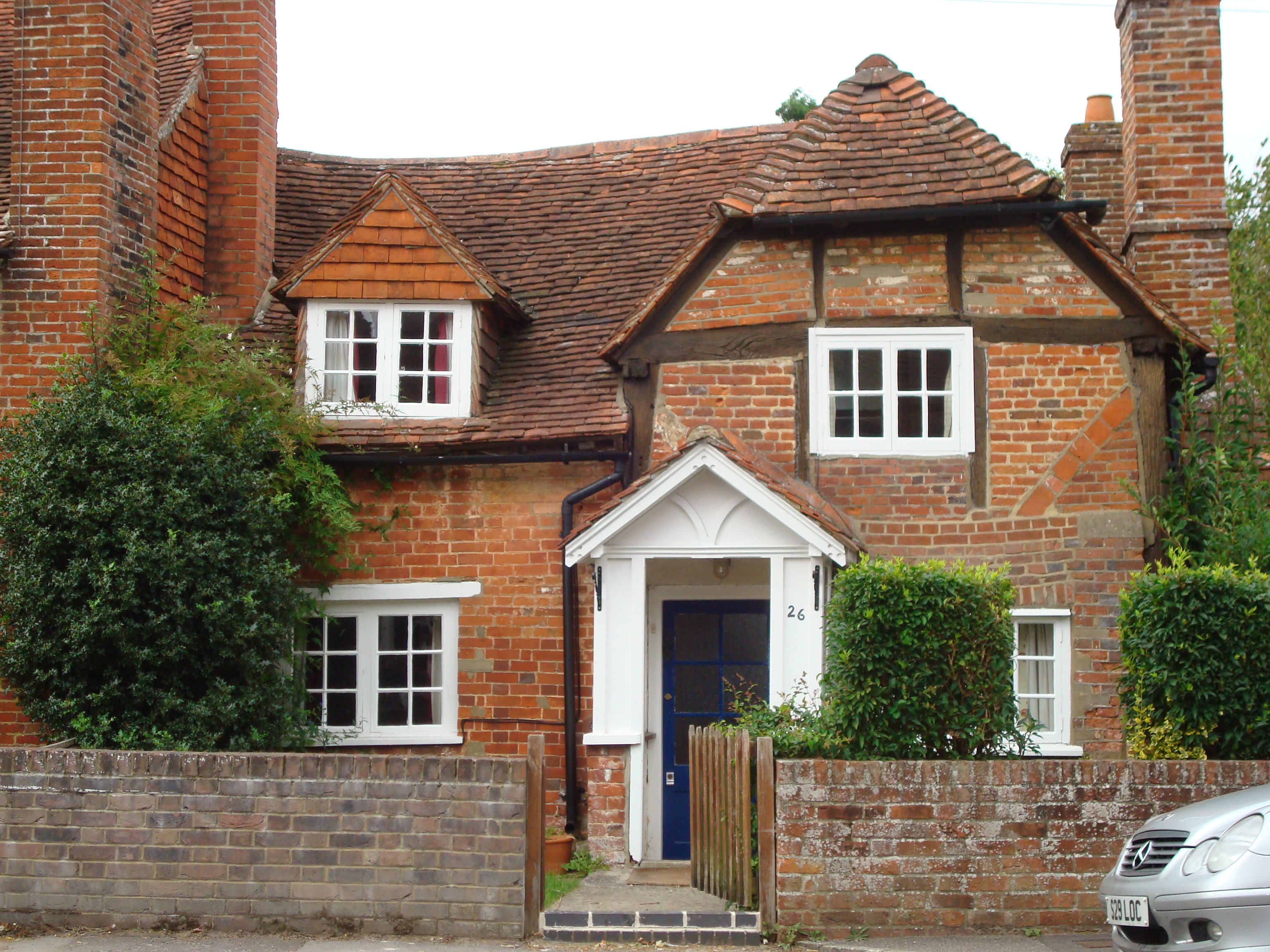
Barley Pound Images
Images are sourced within 2km of 51.212/-0.862 or Grid Reference SU7946. Thanks to Geograph Open Source API. All images are credited.


Barley Pound is located at Grid Ref: SU7946 (Lat: 51.212, Lng: -0.862)
Administrative County: Hampshire
District: Hart
Police Authority: Hampshire
What 3 Words
///fortified.importers.emailed. Near Crondall, Hampshire
Nearby Locations
Related Wikis
Dippenhall
Dippenhall is a rural hamlet in the civil parish of Farnham in the Waverley district of Surrey, England. The nearest town, Farnham, is about 1.6 miles...

All Saints Church, Crondall
All Saints Church is an Anglican parish church in the village of Crondall, Hampshire, England. It is a Grade I listed building and stands at the highest...

Northbrook Park, Hampshire
Northbrook Park is a house in the civil parish of Bramley, in the East Hampshire district, in the county of Hampshire, England. It is a Grade II listed...

Dora's Green
Dora's Green is a hamlet in the Hart District of Hampshire, England. The hamlet lies near the A287 road between Farnham and Odiham on the Hampshire-Surrey...

Bentley, Hampshire
Bentley is a village and civil parish in the East Hampshire district of Hampshire, England. The parish has changed little over centuries and currently...
Crondall
Crondall () is a village and large civil parish in the north east of Hampshire in England, in the Crondall Hundred surveyed in the Domesday Book of 1086...
Mill Lane, Hampshire
Mill Lane is a hamlet in Hampshire, England. Its nearest town is Fleet approximately 2.5 miles away. The hamlet lies on the A287 road between Odiham and...

Pax Hill
Pax Hill (Peace Hill), near Bentley, Hampshire, England, was the family home of Robert Baden-Powell, founder of the Scout movement, and his wife, Olave...
Nearby Amenities
Located within 500m of 51.212,-0.862Have you been to Barley Pound?
Leave your review of Barley Pound below (or comments, questions and feedback).