Barley Pound Copse

Wood, Forest in Hampshire Hart

England

Barley Pound Copse

Farmland, Crondall Oil-seed rape beside the bridleway descending from Gravelly Wood.
Farmland, Crondall Credit: Andrew Smith

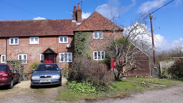
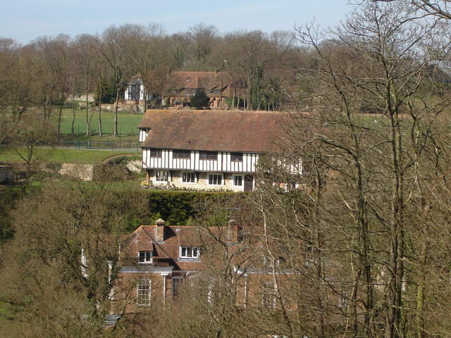
Barley Pound Copse is a picturesque woodland area located in Hampshire, England. Covering an area of approximately 100 acres, it is a popular destination for nature enthusiasts and walkers alike. The copse is situated within the larger New Forest National Park, renowned for its diverse flora and fauna.

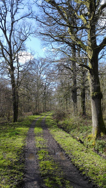
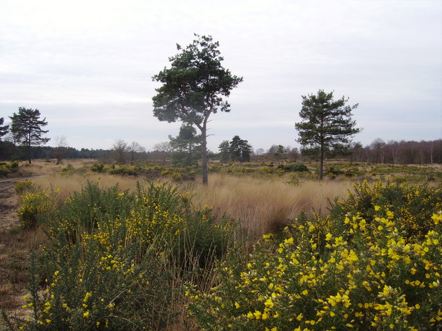
The woodland is characterized by its dense canopy of tall trees, predominantly consisting of oak, beech, and birch. These trees provide a rich habitat for a variety of bird species, including woodpeckers, warblers, and owls. The forest floor is covered with a thick carpet of ferns, mosses, and wildflowers, creating a vibrant and colorful landscape.

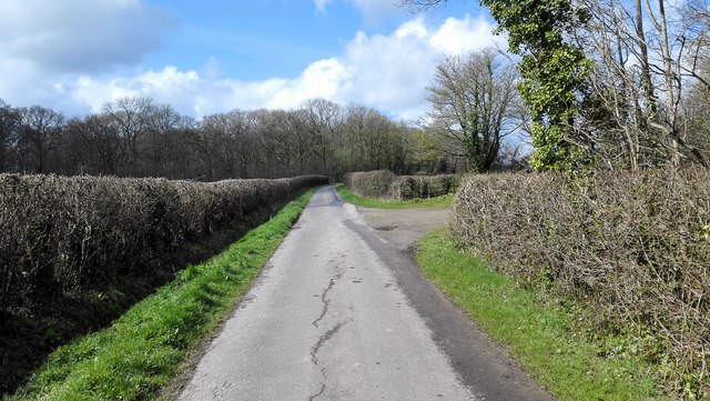
Barley Pound Copse is intersected by a network of well-maintained footpaths and trails, allowing visitors to explore the area and enjoy the tranquil surroundings. Along these paths, one can discover ancient archaeological features such as barrows and earthworks, providing insights into the copse's historical significance.

The copse also houses a diverse range of wildlife, including deer, badgers, foxes, and rabbits. Visitors may be lucky enough to spot these animals or catch glimpses of them in their natural habitat.

In addition to its natural beauty, Barley Pound Copse offers recreational opportunities, such as picnicking and photography. The peaceful atmosphere and stunning scenery make it an ideal spot for relaxation and rejuvenation.

Overall, Barley Pound Copse is a captivating woodland area within the New Forest National Park, offering visitors a chance to connect with nature and immerse themselves in the beauty of Hampshire's countryside.

If you have any feedback on the listing, please let us know in the comments section below.

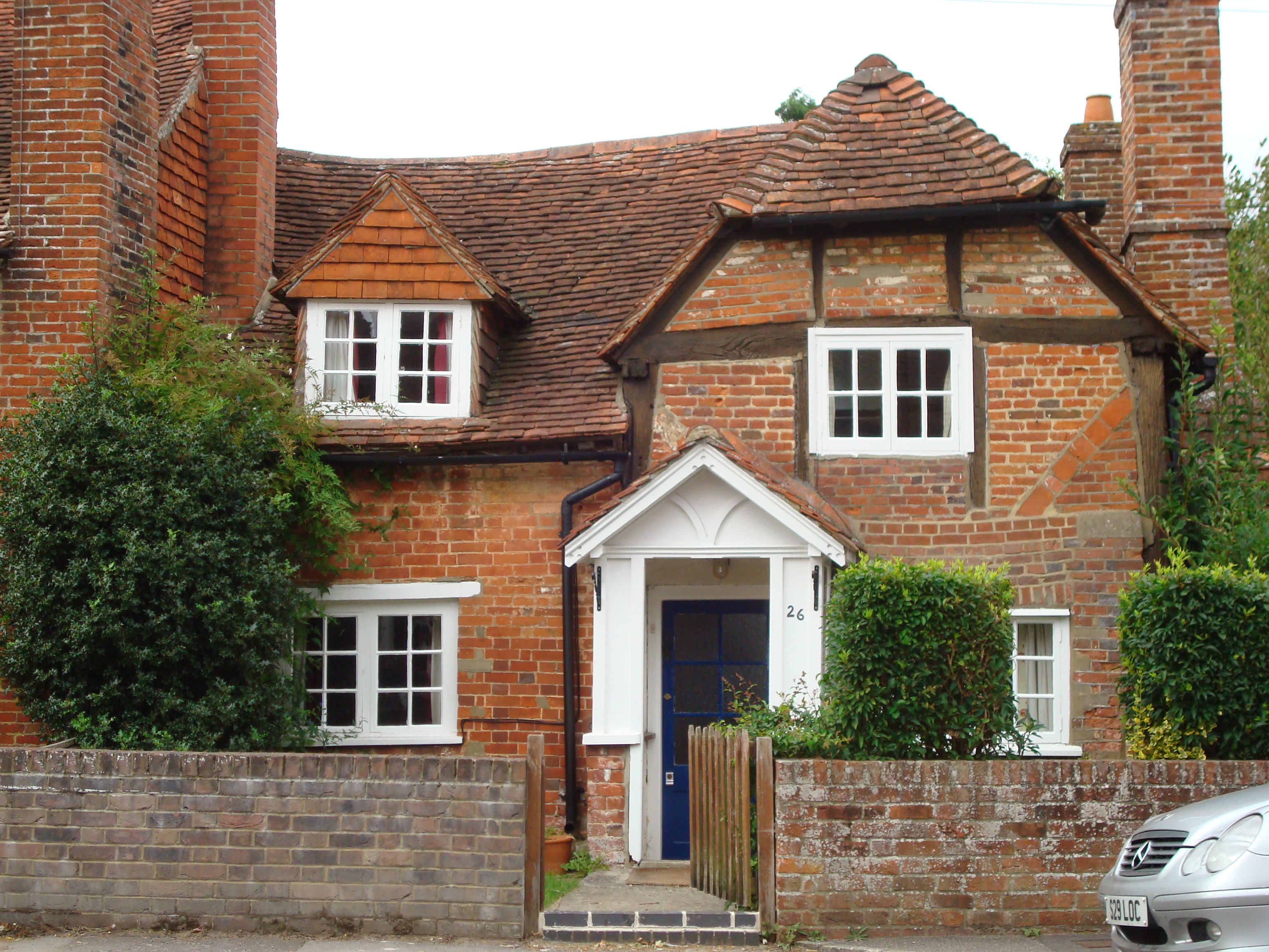
Barley Pound Copse Images

Images are sourced within 2km of 51.213909/-0.86158472 or Grid Reference SU7946. Thanks to Geograph Open Source API. All images are credited.

Farmland, Crondall Oil-seed rape beside the bridleway descending from Gravelly Wood.
Farmland, Crondall
Oil-seed rape beside the bridleway descending from Gravelly Wood.
Farmland, Crondall A cereal crop is growing through the stubble beside the footpath north of Travers Farm.
Farmland, Crondall
A cereal crop is growing through the stubble beside the footpath north of Travers Farm.
Farmland, Crondall Lee Wood is to the right in this view from the footpath to its west.
Farmland, Crondall
Lee Wood is to the right in this view from the footpath to its west.
Track and farmland, Crondall Part of a well-used network of public footpaths to the south of the village.
Track and farmland, Crondall
Part of a well-used network of public footpaths to the south of the village.
Farmland, Crondall New farm buildings have been erected on a site at the western end of Croft Lane, replacing older ones that were previously there.
Farmland, Crondall
New farm buildings have been erected on a site at the western end of Croft Lane, replacing older ones that were previously there.
Farmland, Crondall The southern edge of Barley Pound Copse.
Farmland, Crondall
The southern edge of Barley Pound Copse.
Farmland, Crondall Beside the road rising south-eastwards from Swanthorpe House.
Farmland, Crondall
Beside the road rising south-eastwards from Swanthorpe House.
Crondall - Parish Church All Saints Church dates back to the 12th century.
Crondall - Parish Church
All Saints Church dates back to the 12th century.
Farmland, Bentley Oil-seed rape stubble beside the footpath north of Wallfield Copse.
Farmland, Bentley
Oil-seed rape stubble beside the footpath north of Wallfield Copse.
Bin day in Church Street
A Field Marshall's grave in Crondall Churchyard That of Lord Bramall <span class="nowrap"><a title="https://en.wikipedia.org/wiki/Edwin_Bramall" rel="nofollow ugc noopener" href="https://en.wikipedia.org/wiki/Edwin_Bramall">Link</a><img style="margin-left:2px;" alt="External link" title="External link - shift click to open in new window" src="https://s1.geograph.org.uk/img/external.png" width="10" height="10"/></span>
Also in shot are the CWGC graves of Private W.E.Sherman <span class="nowrap"><a title="https://www.cwgc.org/find-records/find-war-dead/casualty-details/2758342/william-edgar-sherman/" rel="nofollow ugc noopener" href="https://www.cwgc.org/find-records/find-war-dead/casualty-details/2758342/william-edgar-sherman/">Link</a><img style="margin-left:2px;" alt="External link" title="External link - shift click to open in new window" src="https://s1.geograph.org.uk/img/external.png" width="10" height="10"/></span> Private W. Farmer <span class="nowrap"><a title="https://www.cwgc.org/find-records/find-war-dead/casualty-details/2758339/w-farmer/" rel="nofollow ugc noopener" href="https://www.cwgc.org/find-records/find-war-dead/casualty-details/2758339/w-farmer/">Link</a><img style="margin-left:2px;" alt="External link" title="External link - shift click to open in new window" src="https://s1.geograph.org.uk/img/external.png" width="10" height="10"/></span> Private J. Pound <span class="nowrap"><a title="https://www.cwgc.org/find-records/find-war-dead/casualty-details/2758341/john-pound/" rel="nofollow ugc noopener" href="https://www.cwgc.org/find-records/find-war-dead/casualty-details/2758341/john-pound/">Link</a><img style="margin-left:2px;" alt="External link" title="External link - shift click to open in new window" src="https://s1.geograph.org.uk/img/external.png" width="10" height="10"/></span> and Sapper H. Wooderson <span class="nowrap"><a title="https://www.cwgc.org/find-records/find-war-dead/casualty-details/2758343/harry-wooderson/" rel="nofollow ugc noopener" href="https://www.cwgc.org/find-records/find-war-dead/casualty-details/2758343/harry-wooderson/">Link</a><img style="margin-left:2px;" alt="External link" title="External link - shift click to open in new window" src="https://s1.geograph.org.uk/img/external.png" width="10" height="10"/></span>
A Field Marshall's grave in Crondall Churchyard
That of Lord Bramall LinkExternal link Also in shot are the CWGC graves of Private W.E.Sherman LinkExternal link Private W. Farmer LinkExternal link Private J. Pound LinkExternal link and Sapper H. Wooderson LinkExternal link
Old Cottages - East Green
Rural Road to Bentley
Path into Wallfield Copse
Wallfield Copse
Wallfield Copse
Wallfield Copse
Wallfield Copse
Fields near Hill Farm
Large Fields
Large Fields
Show me another place!

Barley Pound Copse is located at Grid Ref: SU7946 (Lat: 51.213909, Lng: -0.86158472)

Administrative County: Hampshire

District: Hart

Police Authority: Hampshire

What 3 Words

///power.crossings.punctual. Near Crondall, Hampshire

Related Wikis

All Saints Church, Crondall

All Saints Church is an Anglican parish church in the village of Crondall, Hampshire, England. It is a Grade I listed building and stands at the highest...

Dippenhall

Dippenhall is a rural hamlet in the civil parish of Farnham in the Waverley district of Surrey, England. The nearest town, Farnham, is about 1.6 miles...

Dora's Green

Dora's Green is a hamlet in the Hart District of Hampshire, England. The hamlet lies near the A287 road between Farnham and Odiham on the Hampshire-Surrey...

Crondall

Crondall () is a village and large civil parish in the north east of Hampshire in England, in the Crondall Hundred surveyed in the Domesday Book of 1086...

Mill Lane, Hampshire

Mill Lane is a hamlet in Hampshire, England. Its nearest town is Fleet approximately 2.5 miles away. The hamlet lies on the A287 road between Odiham and...

Northbrook Park, Hampshire

Northbrook Park is a house in the civil parish of Bramley, in the East Hampshire district, in the county of Hampshire, England. It is a Grade II listed...

Bentley, Hampshire

Bentley is a village and civil parish in the East Hampshire district of Hampshire, England. The parish has changed little over centuries and currently...

Castle Bottom to Yateley and Hawley Commons

Castle Bottom to Yateley and Hawley Commons is a 922.7-hectare (2,280-acre) biological Site of Special Scientific Interest north of Fleet in Hampshire...

Nearby Amenities

Located within 500m of 51.213909,-0.86158472
Roman Villa
Historic: archaeological_site
Source: npe
Lat/Long: 51.2174467/-0.8627212
Barley Pound
Historic: archaeological_site
Source: npe
Lat/Long: 51.2156148/-0.8632314
Barley Pound
Is In County: Hampshire
Place: hamlet
Source: sign
Lat/Long: 51.2123025/-0.856762
Kimbers Farm
Landuse: farm
Note Retag: CS #48756035
Source: OS_OpenData_StreetView
Lat/Long: 51.2132945/-0.8559039
Power: pole
Lat/Long: 51.216933/-0.856939
Power: pole
Lat/Long: 51.2151857/-0.8555013
Power: pole
Lat/Long: 51.2144229/-0.8548737
Power: pole
Lat/Long: 51.2137676/-0.8549032
Power: pole
Lat/Long: 51.2128133/-0.8549836
Historic: archaeological_site
Historic Civilization: ancient_roman
Lat/Long: 51.2133414/-0.8603624
The data included in this document is from www.openstreetmap.org. The data is made available under ODbL.

Have you been to Barley Pound Copse?

Leave your review of Barley Pound Copse below (or comments, questions and feedback).