Bant's Carn
Heritage Site in Cornwall
England
Bant's Carn
Bant's Carn, located in Cornwall, England, is a historical heritage site of great cultural and archaeological significance. Situated on the eastern slopes of the Carn Brea hill, the site is a Neolithic burial mound dating back to around 2500 BC.
Bant's Carn is an impressive example of a chambered tomb, constructed using large stones and earthworks. It consists of a central burial chamber, accessed through a narrow passage, enclosed within a circular mound. The tomb's name, "Bant's Carn," is derived from the Cornish language, where "bant" means "mound" and "carn" means "rock."
The burial site is believed to have been used for multiple interments over centuries, making it an important archaeological site for understanding the Neolithic period in Cornwall. Excavations carried out in the early 20th century revealed pottery fragments, flint tools, and human remains, providing valuable insights into the lives and burial practices of the ancient inhabitants.
Visitors to Bant's Carn can explore the site and witness the impressive structure of the burial mound. The monument offers a glimpse into the prehistoric past, showcasing the advanced architectural skills and spiritual beliefs of the Neolithic people. The panoramic views of the surrounding landscape from the site further enhance the experience, allowing visitors to appreciate the historical and natural beauty of Cornwall.
Bant's Carn is a protected heritage site under the care of English Heritage, ensuring its preservation for future generations. It stands as a testament to the rich cultural heritage of Cornwall and serves as an important educational resource for archaeologists, historians, and visitors interested in the region's ancient past.
If you have any feedback on the listing, please let us know in the comments section below.
Bant's Carn Images
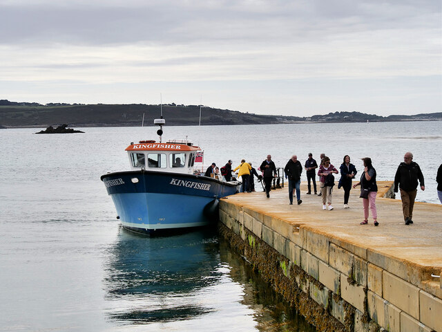
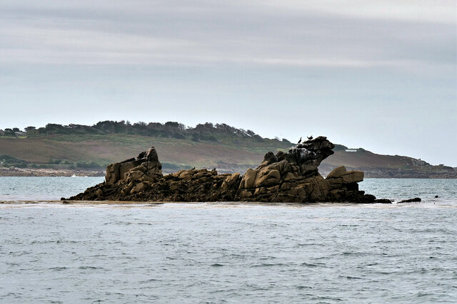
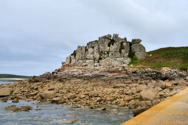
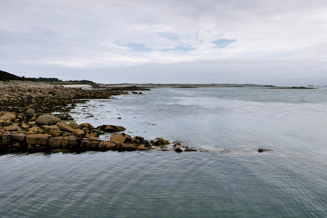
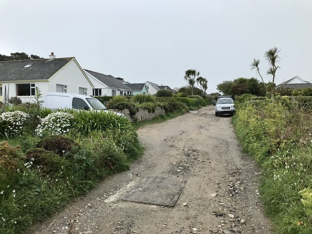
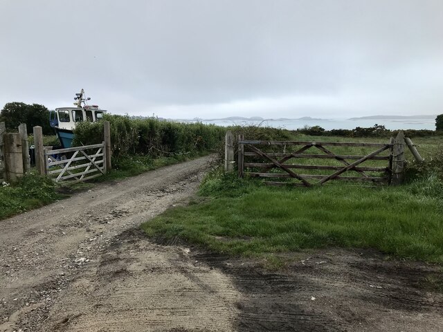
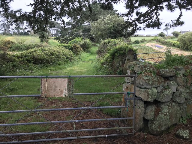
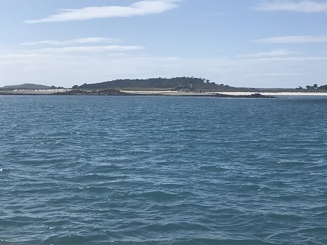
Images are sourced within 2km of 49.932/-6.313 or Grid Reference SV9012. Thanks to Geograph Open Source API. All images are credited.


Bant's Carn is located at Grid Ref: SV9012 (Lat: 49.932, Lng: -6.313)
Division: Isles of Scilly
Unitary Authority: Isles of Scilly
Police Authority: Devon and Cornwall
What 3 Words
///tarnished.brimmed.pairings. Near St Mary's, Isles of Scilly
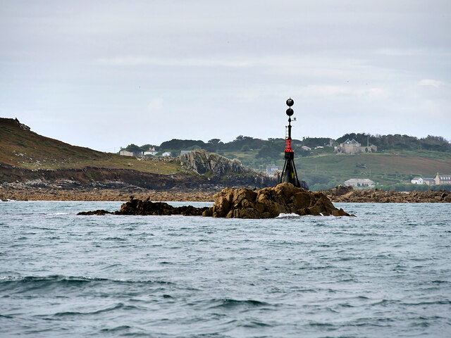
Nearby Locations
Related Wikis
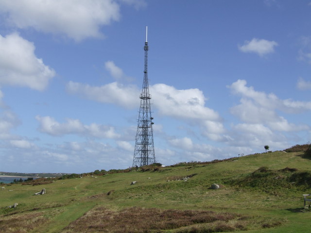
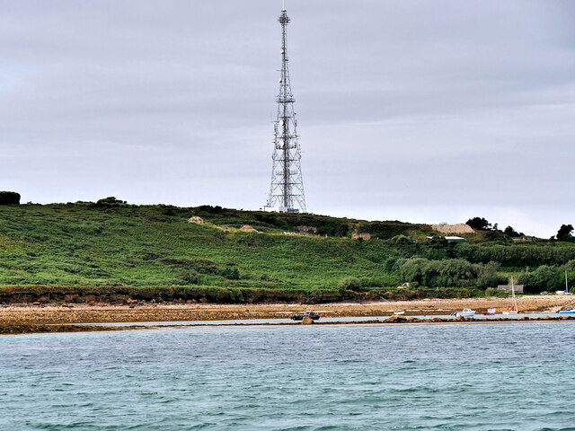
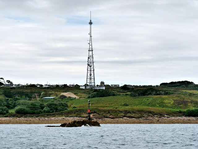
Halangy Down transmitter
The Halangy Down transmitter on St Mary's, Isles of Scilly is a 500-watt FM radio and television transmitter with a 76.2 metres (250 ft) high steel lattice...
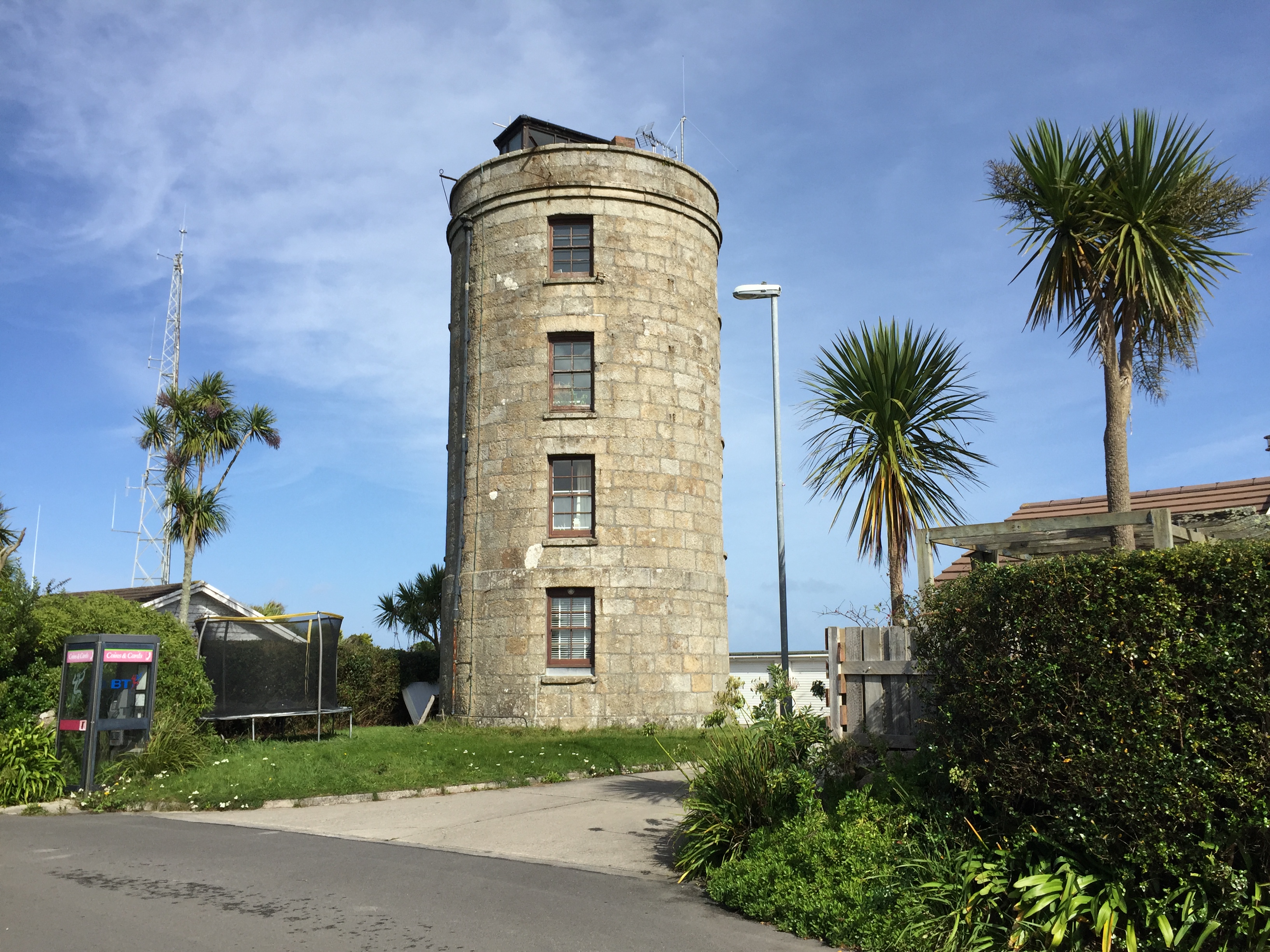
Coastguard's Lookout Tower
Coastguard’s Lookout Tower, now known as Telegraph Tower, is a Grade II listed structure built around 1814-16 on St Mary's, Isles of Scilly as a Signal...

Telegraph, Isles of Scilly
Telegraph (Cornish: Brebellskrif) is a settlement on St Mary's, the largest of the Isles of Scilly, England. Telegraph is located in the north west of...
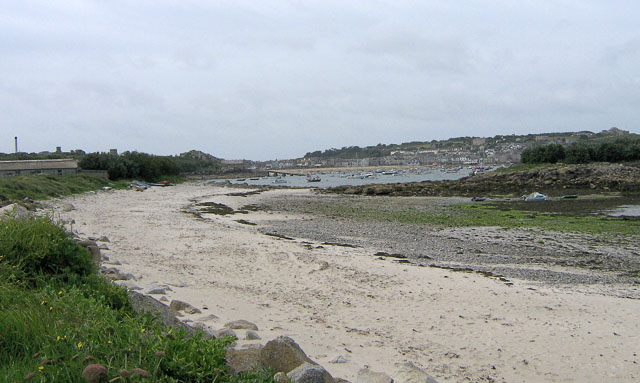
Porthloo
Porthloo (sometimes spelled and often pronounced Porthlow; Cornish: Porth Logh "cove of the deep water inlet") is a coastal settlement on the island of...
Nearby Amenities
Located within 500m of 49.932,-6.313Have you been to Bant's Carn?
Leave your review of Bant's Carn below (or comments, questions and feedback).