Little Creeb
Coastal Feature, Headland, Point in Cornwall
England
Little Creeb
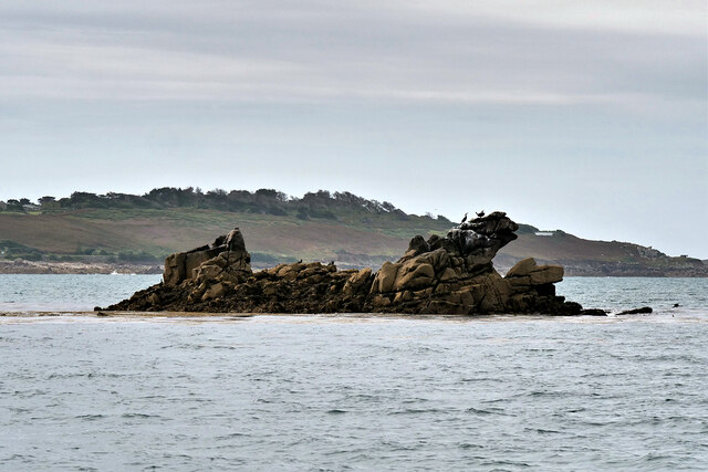
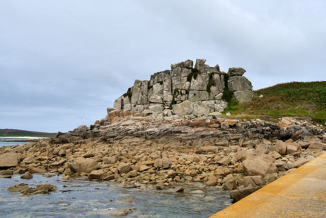
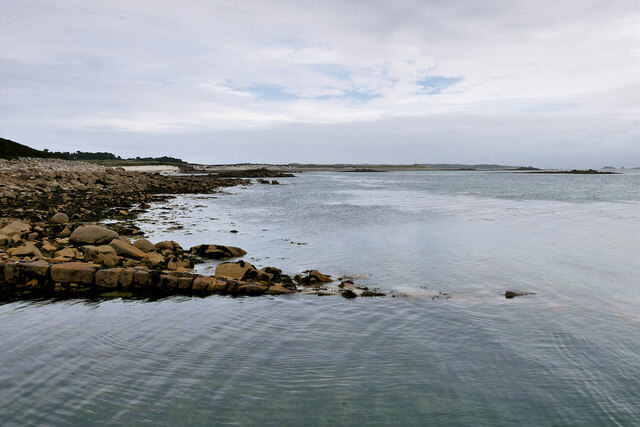
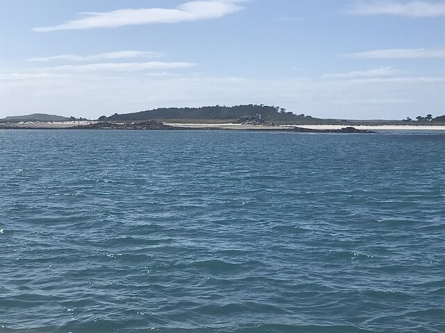
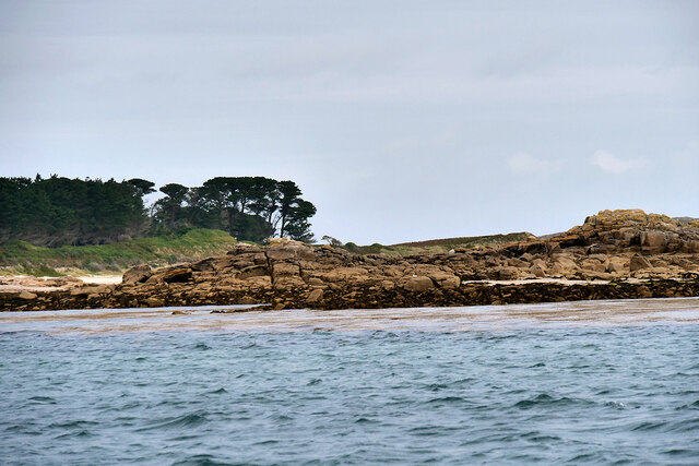
Little Creeb is a picturesque coastal feature located in Cornwall, England. Situated on the southern coast of the county, it is a prominent headland that juts out into the Atlantic Ocean. With its rugged cliffs and stunning views, Little Creeb is a popular destination for tourists and locals alike.
Rising to an elevation of approximately 100 meters, the headland offers panoramic vistas of the surrounding coastline and the vast expanse of the sea. The cliffs are composed of sedimentary rocks, primarily consisting of sandstone and slate, which have been eroded over time by the relentless waves, creating unique formations and caves along the coastline.
Little Creeb is known for its diverse wildlife and rich marine ecosystem. The surrounding waters are teeming with various species of fish, making it a popular spot for fishing enthusiasts. It is also home to a variety of seabirds, including gulls, fulmars, and cormorants, which can often be seen soaring overhead or nesting on the cliffs.
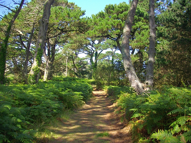
Access to Little Creeb is primarily via a scenic coastal path that winds its way along the cliffs from the nearby village of Porthleven. The path offers breathtaking views and is a favorite among hikers and nature lovers. It is important to note that caution is advised when exploring the headland, as the cliffs can be steep and unstable in certain areas.
Overall, Little Creeb is a stunning coastal feature that showcases the natural beauty of Cornwall. Whether it's enjoying the dramatic cliffs, observing the wildlife, or simply taking in the breathtaking scenery, visitors to Little Creeb are sure to be captivated by its beauty and tranquility.
If you have any feedback on the listing, please let us know in the comments section below.
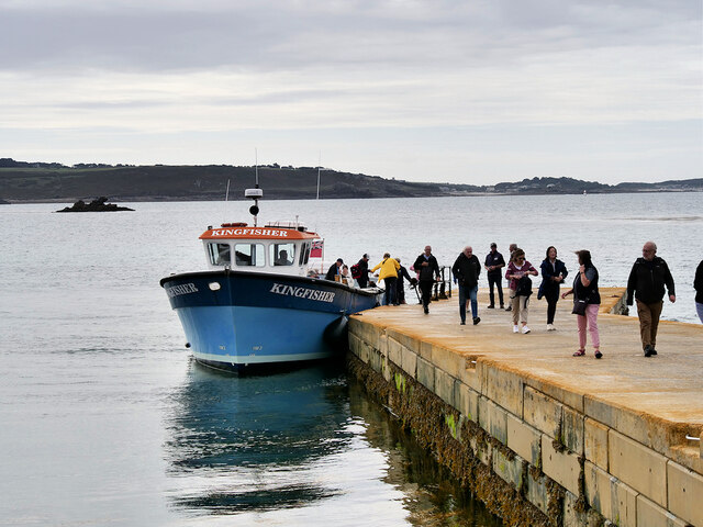
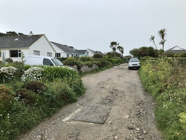
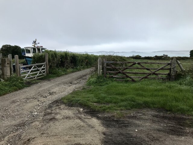
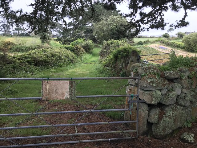
Little Creeb Images
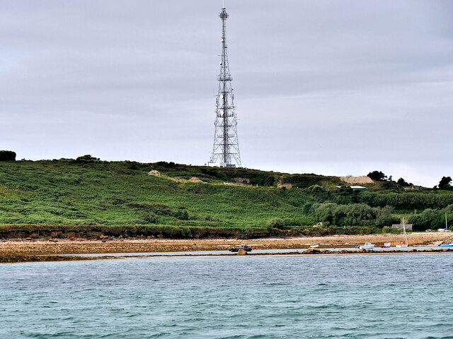
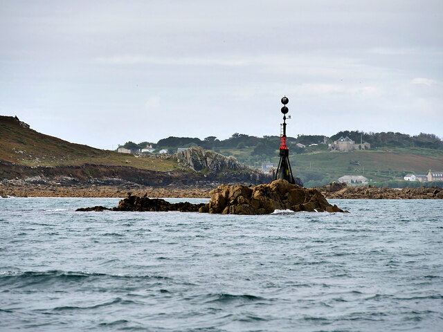
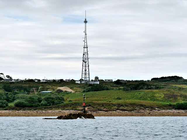
Images are sourced within 2km of 49.933133/-6.3098833 or Grid Reference SV9012. Thanks to Geograph Open Source API. All images are credited.


Little Creeb is located at Grid Ref: SV9012 (Lat: 49.933133, Lng: -6.3098833)
Division: Isles of Scilly
Unitary Authority: Isles of Scilly
Police Authority: Devon and Cornwall
What 3 Words
///stiffly.alright.feel. Near St Mary's, Isles of Scilly
Nearby Locations
Related Wikis
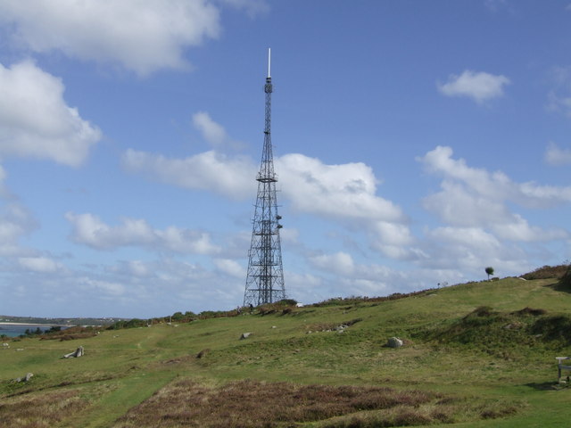
Halangy Down transmitter
The Halangy Down transmitter on St Mary's, Isles of Scilly is a 500-watt FM radio and television transmitter with a 76.2 metres (250 ft) high steel lattice...
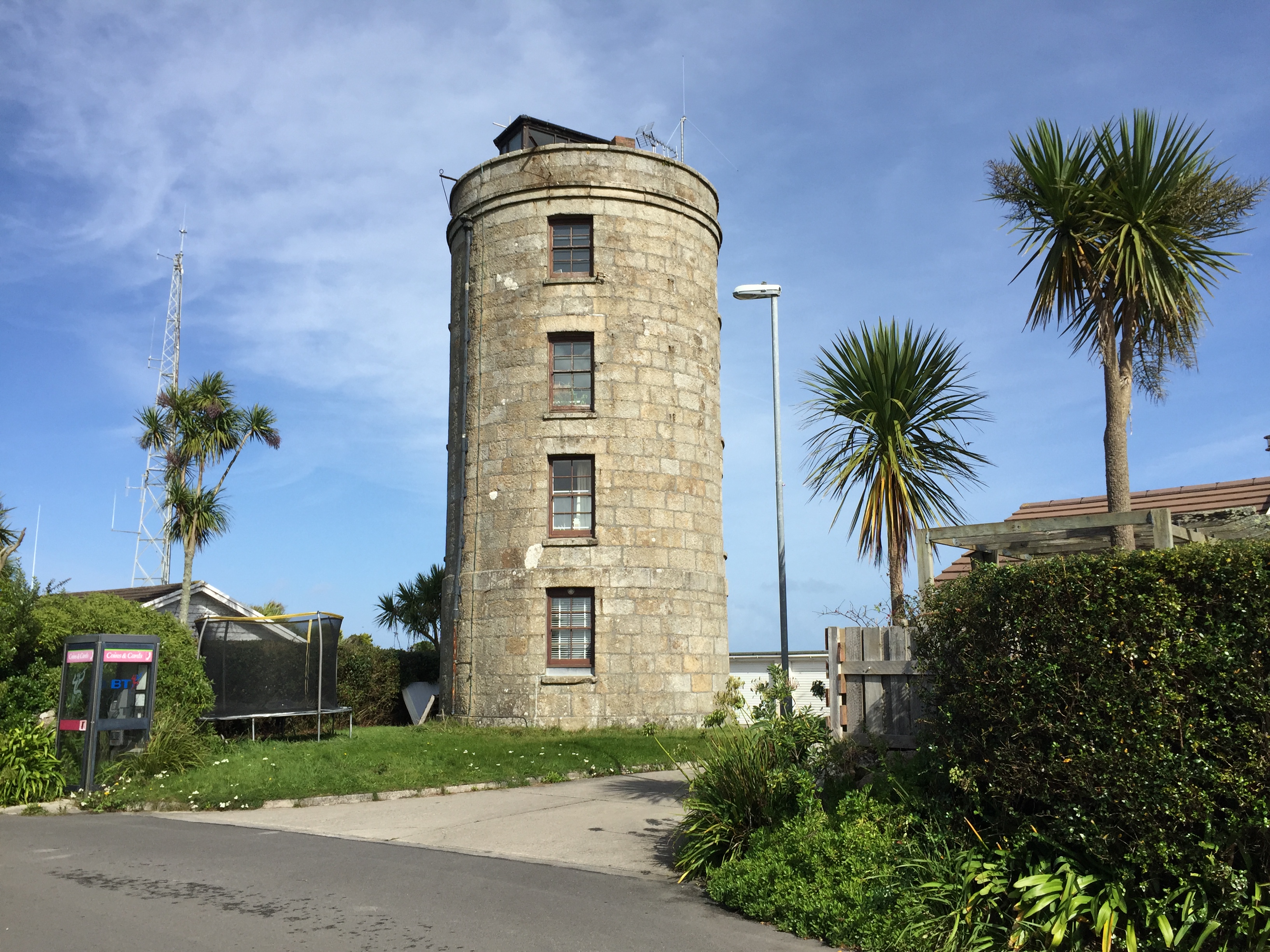
Coastguard's Lookout Tower
Coastguard’s Lookout Tower, now known as Telegraph Tower, is a Grade II listed structure built around 1814-16 on St Mary's, Isles of Scilly as a Signal...

Telegraph, Isles of Scilly
Telegraph (Cornish: Brebellskrif) is a settlement on St Mary's, the largest of the Isles of Scilly, England. Telegraph is located in the north west of...
Trenoweth, Isles of Scilly
Trenoweth (; Cornish: Trenoweth "new town") is a small settlement, located in the north of the island of St Mary's in the Isles of Scilly, Cornwall, England...
Nearby Amenities
Located within 500m of 49.933133,-6.3098833Have you been to Little Creeb?
Leave your review of Little Creeb below (or comments, questions and feedback).