Halangy Porth
Bay in Cornwall
England
Halangy Porth
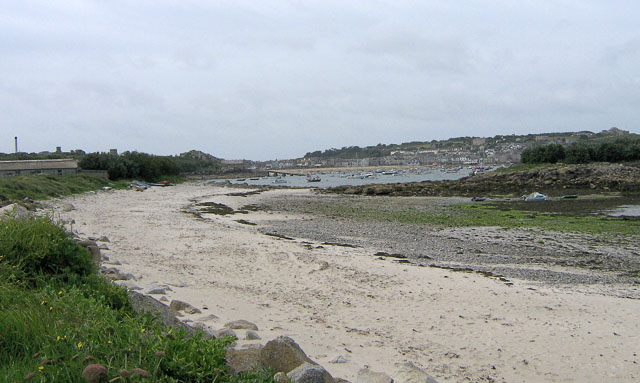
Halangy Porth, located in Cornwall, England, is a picturesque bay nestled on the western coast of the St. Mary's Island, Isles of Scilly. Known for its natural beauty and tranquility, Halangy Porth is a popular destination for both locals and tourists alike.
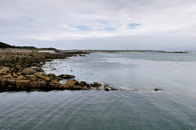
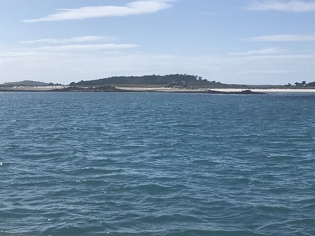
The bay boasts a crescent-shaped sandy beach that stretches for approximately 300 meters, offering visitors a place to relax and soak up the sun. The crystal-clear turquoise waters of the bay are perfect for swimming and snorkeling, providing a serene and refreshing experience.
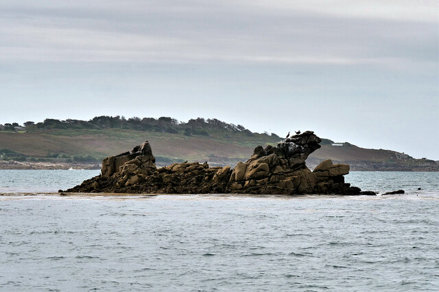
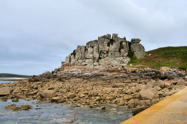
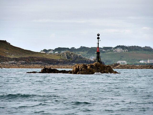
Surrounded by rugged cliffs and lush greenery, Halangy Porth offers breathtaking views of the Atlantic Ocean. The bay is also home to a variety of wildlife, including seals and seabirds, making it a haven for nature lovers and avid birdwatchers.
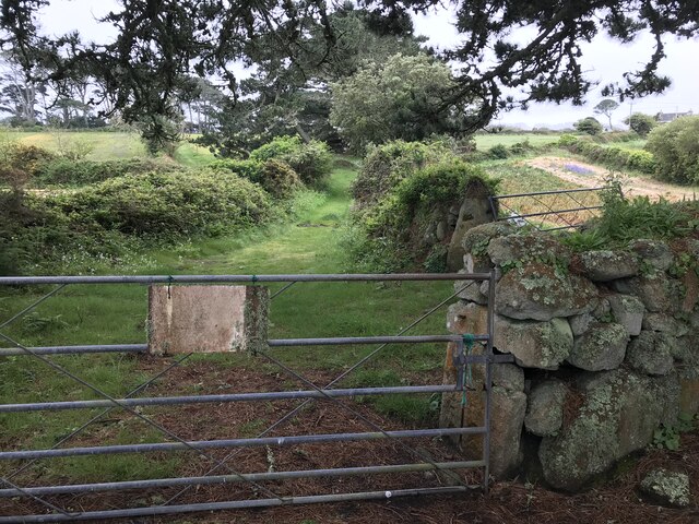
One of the notable features of Halangy Porth is the ancient Halangy Down settlement, which dates back to the Iron Age. The ruins of stone houses and fortifications can still be seen today, providing a glimpse into the area's rich history.
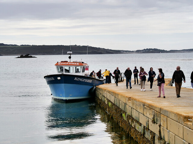
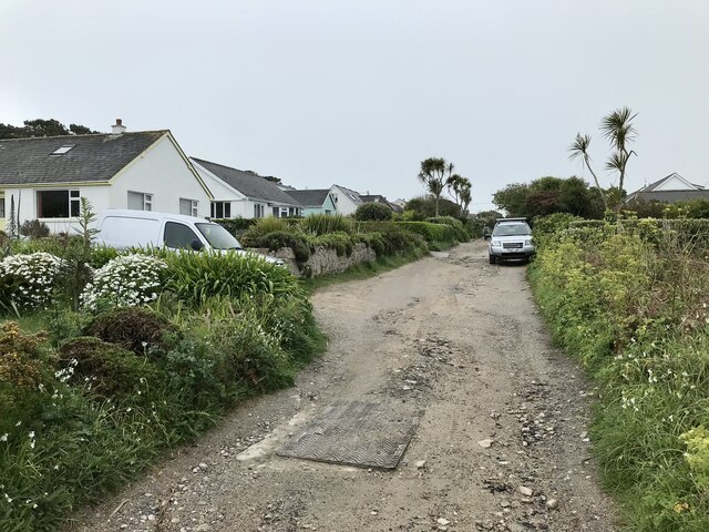
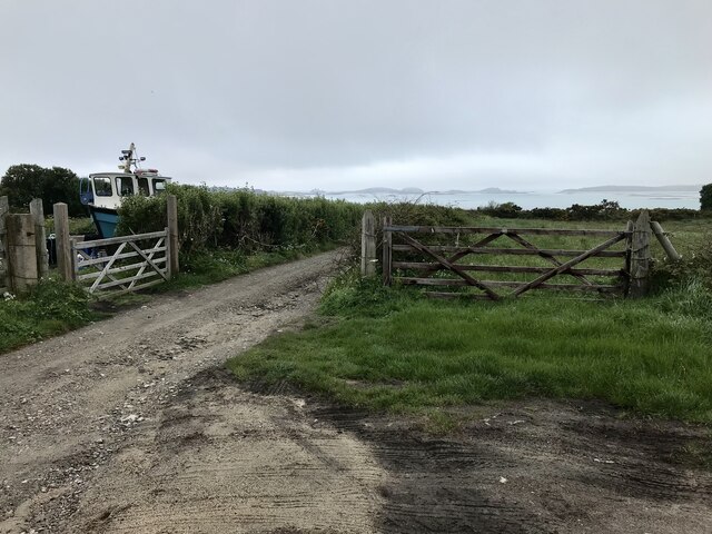
Access to Halangy Porth is relatively easy, with a short walk from the nearby Hugh Town, the main settlement on St. Mary's Island. The bay can also be reached by boat, allowing visitors to enjoy a scenic journey across the waters.
Overall, Halangy Porth in Cornwall offers a serene and idyllic setting, perfect for those seeking a peaceful beach getaway surrounded by natural beauty and historical intrigue.
If you have any feedback on the listing, please let us know in the comments section below.
Halangy Porth Images
Images are sourced within 2km of 49.931736/-6.3106646 or Grid Reference SV9012. Thanks to Geograph Open Source API. All images are credited.


Halangy Porth is located at Grid Ref: SV9012 (Lat: 49.931736, Lng: -6.3106646)
Division: Isles of Scilly
Unitary Authority: Isles of Scilly
Police Authority: Devon and Cornwall
What 3 Words
///finely.generally.iron. Near St Mary's, Isles of Scilly
Nearby Locations
Related Wikis
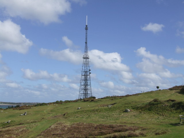
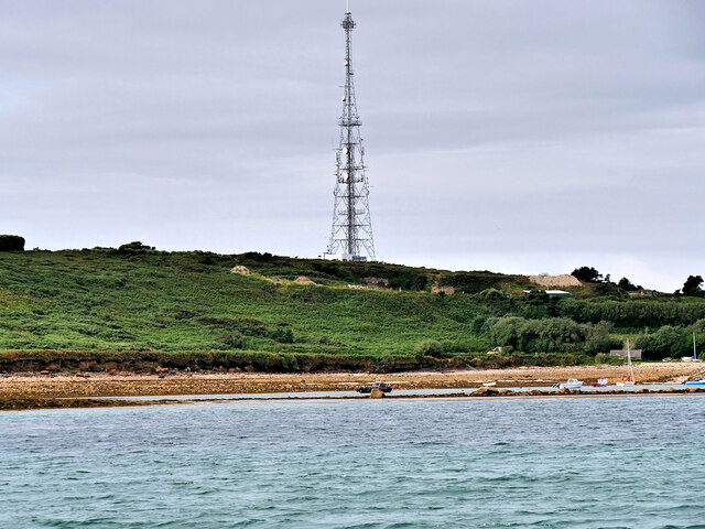
Halangy Down transmitter
The Halangy Down transmitter on St Mary's, Isles of Scilly is a 500-watt FM radio and television transmitter with a 76.2 metres (250 ft) high steel lattice...
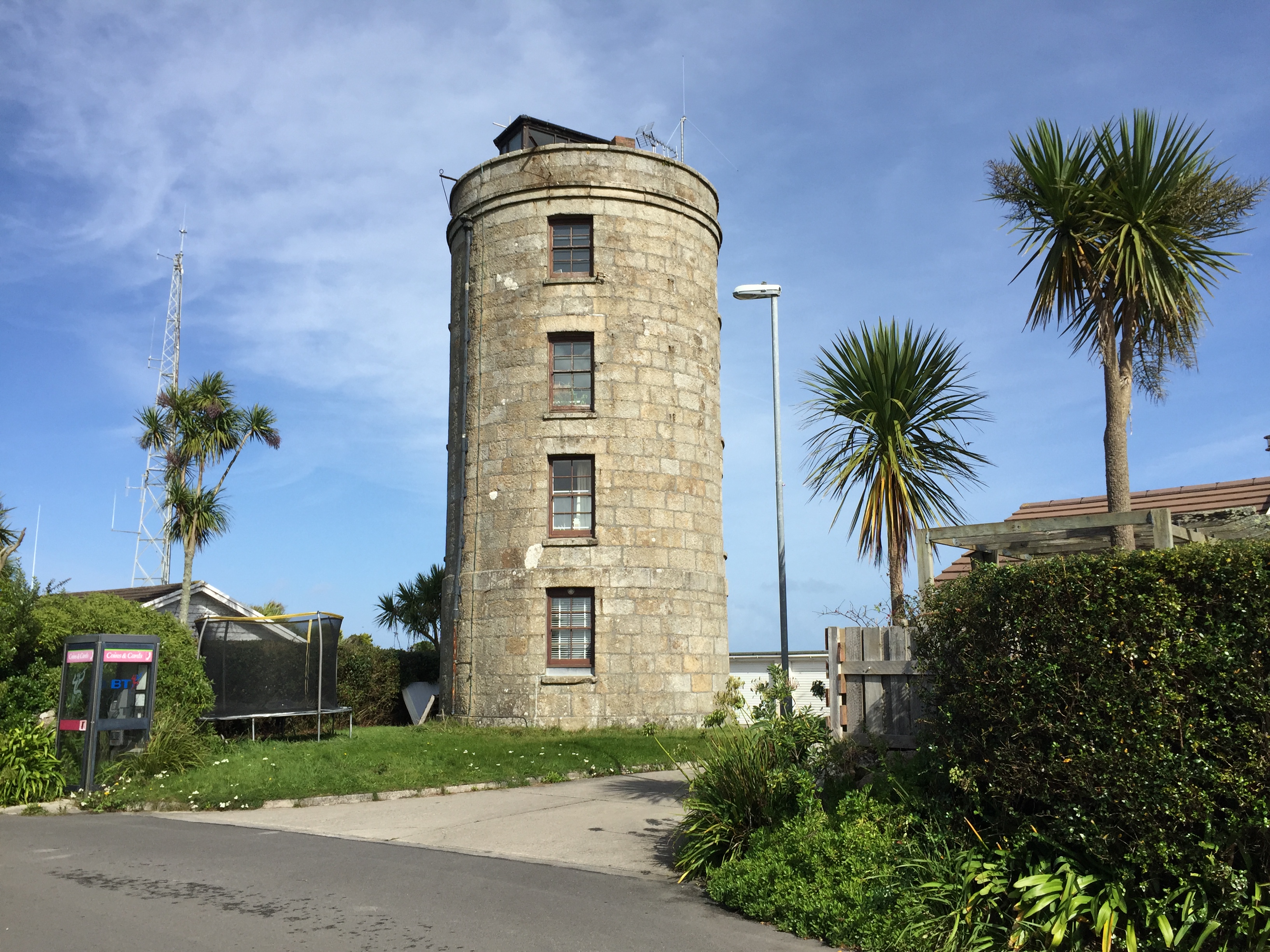
Coastguard's Lookout Tower
Coastguard’s Lookout Tower, now known as Telegraph Tower, is a Grade II listed structure built around 1814-16 on St Mary's, Isles of Scilly as a Signal...

Telegraph, Isles of Scilly
Telegraph (Cornish: Brebellskrif) is a settlement on St Mary's, the largest of the Isles of Scilly, England. Telegraph is located in the north west of...
Porthloo
Porthloo (sometimes spelled and often pronounced Porthlow; Cornish: Porth Logh "cove of the deep water inlet") is a coastal settlement on the island of...
Nearby Amenities
Located within 500m of 49.931736,-6.3106646Have you been to Halangy Porth?
Leave your review of Halangy Porth below (or comments, questions and feedback).