Bar Dyke

Heritage Site in Yorkshire

England

Bar Dyke

Trig Point at Emlin near Low Bradfield The easiest way to reach this summit is from the south via the Grouse Butts and Emlin Ridge. A good grassy track runs almost the whole way.
Trig Point at Emlin near Low Bradfield Credit: Colin Park

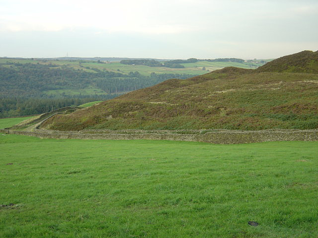
Bar Dyke is a historic heritage site located in Yorkshire, England. It is an ancient earthwork that stretches for a distance of approximately 3 kilometers, running from the village of Cracoe to the River Wharfe. The dyke is believed to date back to the Iron Age, making it over 2,000 years old.

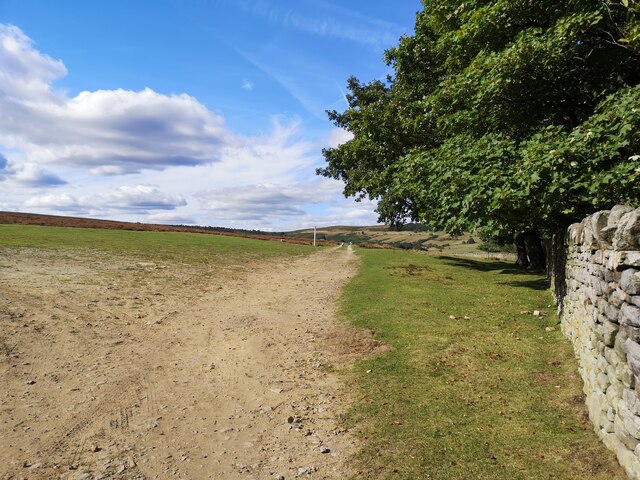
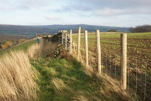
The earthwork consists of a large ditch and embankment, which would have served as a defensive structure during ancient times. The ditch is approximately 3 meters wide and is flanked by an embankment that reaches a height of around 1.5 meters. The purpose of the dyke was to protect the surrounding area from invasion and to control access along the River Wharfe.

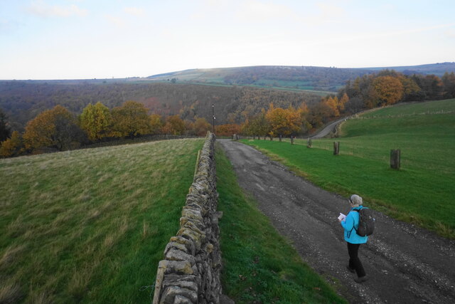
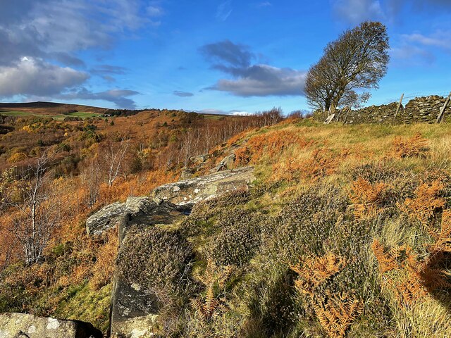
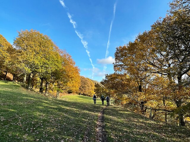
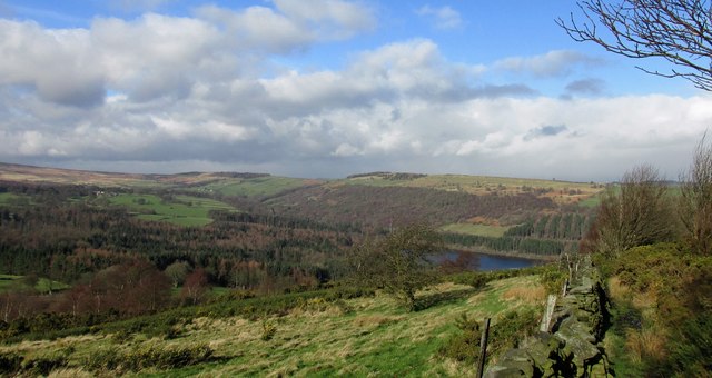
Today, the Bar Dyke remains well-preserved and is a popular attraction for visitors interested in ancient history. It provides a unique opportunity to explore and understand the defensive strategies of the Iron Age inhabitants of Yorkshire. The site offers stunning views of the surrounding countryside, with the River Wharfe winding its way through the valley.

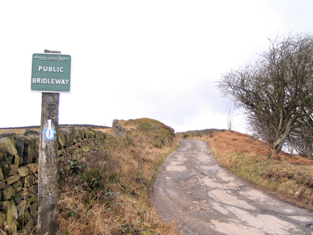
Visitors to Bar Dyke can walk along the earthwork and appreciate its impressive construction. Interpretive panels and signage are available to provide historical context and information about the site. The area surrounding the dyke is also rich in flora and fauna, making it a great spot for nature enthusiasts.

Overall, Bar Dyke is a significant heritage site that offers a glimpse into the ancient past of Yorkshire. Its well-preserved earthwork and picturesque location make it a must-visit destination for history enthusiasts and nature lovers alike.

If you have any feedback on the listing, please let us know in the comments section below.
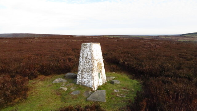
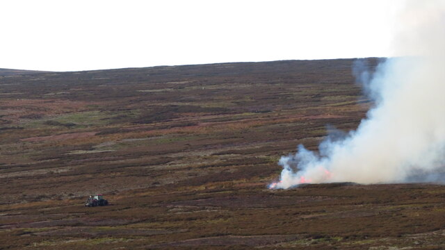
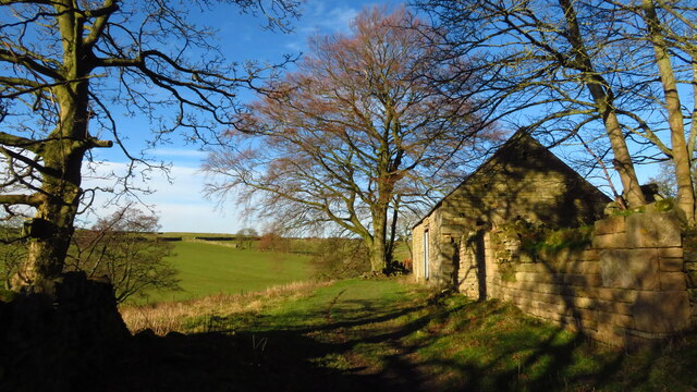
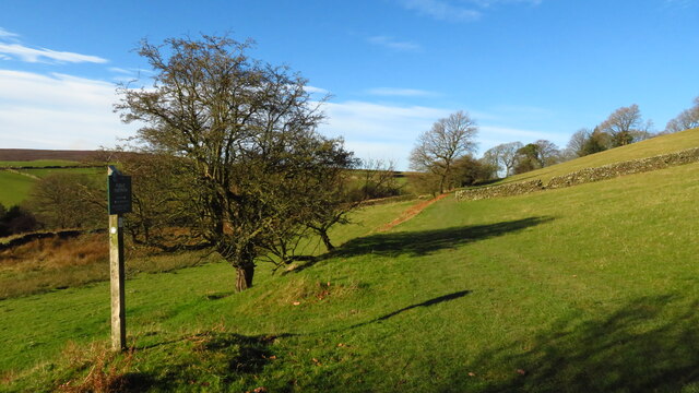
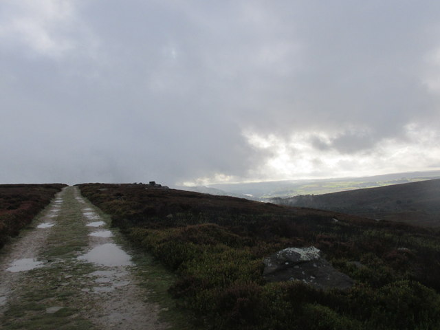
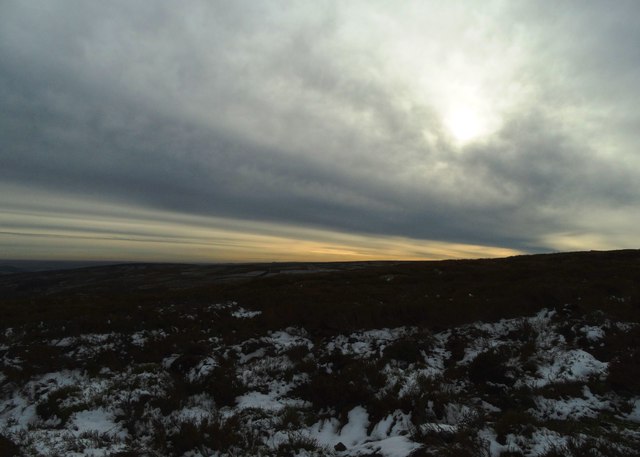
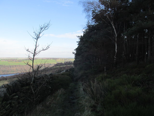
Bar Dyke Images

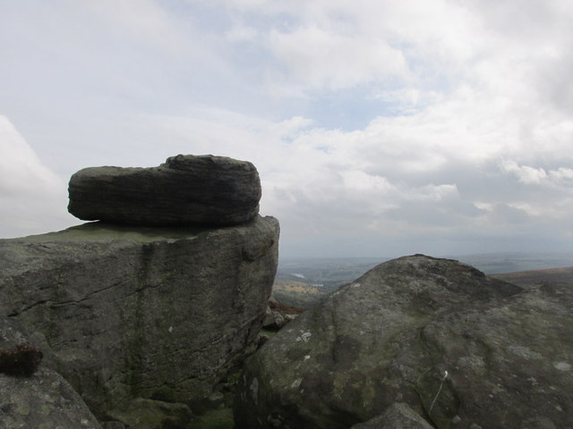
Images are sourced within 2km of 53.447/-1.63 or Grid Reference SK2494. Thanks to Geograph Open Source API. All images are credited.

Trig Point at Emlin near Low Bradfield The easiest way to reach this summit is from the south via the Grouse Butts and Emlin Ridge. A good grassy track runs almost the whole way.
Trig Point at Emlin near Low Bradfield
The easiest way to reach this summit is from the south via the Grouse Butts and Emlin Ridge. A good grassy track runs almost the whole way.
Heather burning on moors W of Emlin near Low Bradfield
Ruinous farm at Rocher Head near High Bradfield
Footpath sign & farmland between Rocher Head & Rocher Wood, High Bradfield
Path leading to Broomhead Moor
Lonely Scot's Pine on Bradfield Moors Scot's Pine on the southern side of Emlin Dike on Bradfield Moors. Thornseat Lodge conifer plantation on the right, and Damflask reservoir in the far distance.
Lonely Scot's Pine on Bradfield Moors
Scot's Pine on the southern side of Emlin Dike on Bradfield Moors. Thornseat Lodge conifer plantation on the right, and Damflask reservoir in the far distance.
Footpath on Wilkin Hill This path doesn't appear on my OS map but is a useful addition.
Footpath on Wilkin Hill
This path doesn't appear on my OS map but is a useful addition.
Track on Wilkin Hill The track comes from Woodseats Farm and is joined by a footpath at this point. The Agden valley is down below.
Track on Wilkin Hill
The track comes from Woodseats Farm and is joined by a footpath at this point. The Agden valley is down below.
Broomhead Reservoir in the winter sunshine
Solitary wind blown tree on Agden Side
Autumn colour at Rocher Wood
Cut Mark Broomhead Moor Milestone
Cut Mark Broomhead Bridge Sheffield
Hurkling stones. Close to the Dukes road path.
Hurkling stones.
Close to the Dukes road path.
The Dukes road. A moorland track.
The Dukes road.
A moorland track.
November sky over Flint Hill, Broomhead Moor
Path alongside White Lee Moor plantation Walking back to More Hall reservoir.
Path alongside White Lee Moor plantation
Walking back to More Hall reservoir.
Wallside path. Dropping down to Walker Edge.
Wallside path.
Dropping down to Walker Edge.
Show me another place!

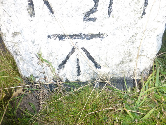
Bar Dyke is located at Grid Ref: SK2494 (Lat: 53.447, Lng: -1.63)

Division: West Riding

What 3 Words

///work.quits.only. Near Bradfield, South Yorkshire

Nearby Locations

Bar Dyke

Related Wikis

Canyards Hills

Canyards Hills (grid reference SK250950) is a 64.1 hectare (158.4 acre) biological and geological site of Special Scientific Interest in South Yorkshire...

Broomhead Hall

Broomhead Hall was a large English country house that stood in the Ewden valley, to the west of Sheffield, England. The hall stood near the hamlet of Wigtwizzle...

Wigtwizzle

Wigtwizzle is a hamlet in the civil parish of Bradfield, in South Yorkshire, England. The hamlet is 6 miles (9.7 km) south of Penistone, and 12 miles...

Agden Reservoir

Agden Reservoir is a water storage reservoir, situated at grid reference SK260925, 6.5 miles (10 km) west of the centre of Sheffield, South Yorkshire,...

Nearby Amenities

Located within 500m of 53.447,-1.63
Smallfield
Place: locality
Lat/Long: 53.4447122/-1.6361555
Wigan Tor
Place: locality
Lat/Long: 53.4432313/-1.6318661
Format: squared_stone
Historic: milestone
Lat/Long: 53.4494634/-1.6324008
Parking
Lat/Long: 53.4476419/-1.6320294
Parking
Lat/Long: 53.4472327/-1.6288163
Tourism: viewpoint
Lat/Long: 53.4468024/-1.6328133
Barrier: stile
Lat/Long: 53.4427741/-1.6281325
Bench
Lat/Long: 53.4469358/-1.6331341
Marker: aerial
Lat/Long: 53.4464843/-1.6325755
Barrier: bollard
Lat/Long: 53.4467931/-1.6320408
Give Way
Lat/Long: 53.4495566/-1.6324622
The data included in this document is from www.openstreetmap.org. The data is made available under ODbL.

Have you been to Bar Dyke?

Leave your review of Bar Dyke below (or comments, questions and feedback).