Aves Ditch
Heritage Site in Oxfordshire Cherwell
England
Aves Ditch

Aves Ditch is a historically significant site located in Oxfordshire, England. Situated just outside the village of Standlake, this heritage site holds great importance in understanding the region's ancient past. Aves Ditch is an earthwork believed to have been constructed during the Iron Age, around 500 BC.
The ditch runs for approximately 2.5 kilometers, forming a semi-circular shape around the village. It is approximately 4 meters wide and 2 meters deep, making it an impressive feat of engineering for its time. The purpose of Aves Ditch remains a mystery, with various theories suggesting it was built for defensive purposes, as a demarcation line, or as a boundary marker.
Archaeological excavations conducted in the late 20th century revealed traces of human activity within the ditch, including pottery fragments and animal bones. These findings suggest that Aves Ditch was not merely a physical barrier but also a site of human occupation.
Today, Aves Ditch is a protected heritage site, managed by the local authorities and open to the public. Visitors can explore the site by walking along the footpath that runs adjacent to the ditch, providing an opportunity to witness the impressive scale and craftsmanship of this ancient earthwork.
A visit to Aves Ditch offers a glimpse into the lives and culture of the people who lived in this region thousands of years ago. It serves as a reminder of the rich history and archaeological importance of Oxfordshire and its surrounding areas.
If you have any feedback on the listing, please let us know in the comments section below.
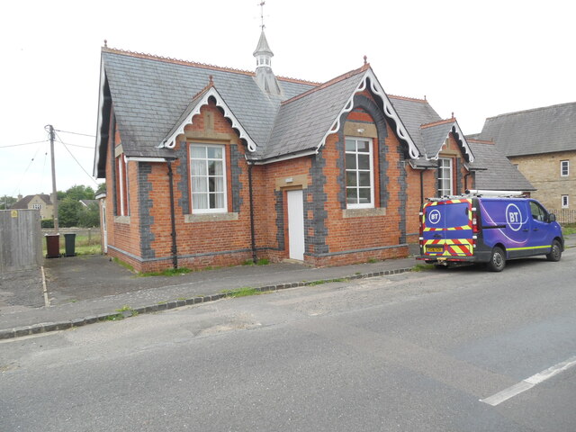
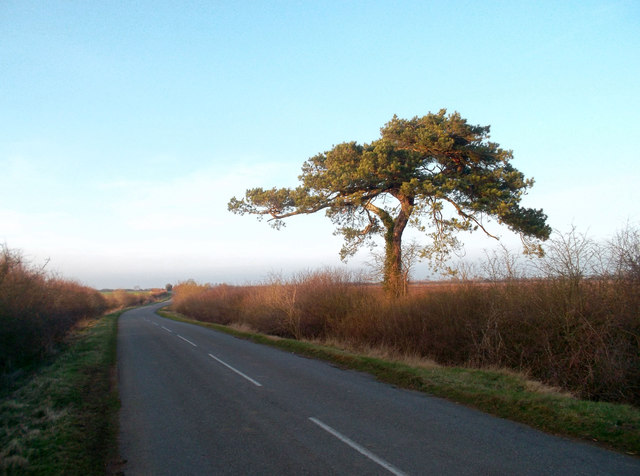
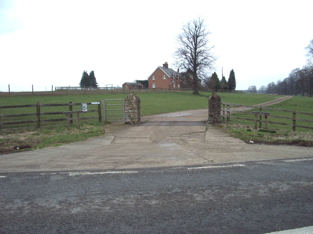
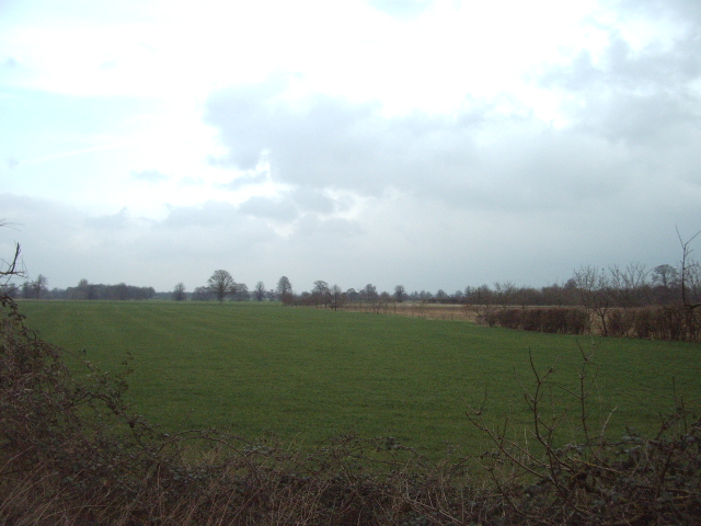
Aves Ditch Images
Images are sourced within 2km of 51.907/-1.252 or Grid Reference SP5123. Thanks to Geograph Open Source API. All images are credited.


Aves Ditch is located at Grid Ref: SP5123 (Lat: 51.907, Lng: -1.252)
Administrative County: Oxfordshire
District: Cherwell
Police Authority: Thames Valley
What 3 Words
///avoiding.smothered.spenders. Near Somerton, Oxfordshire
Nearby Locations
Related Wikis

Aves ditch
Aves Ditch (also known as Ash Bank, or Wattle Bank) is an Iron Age ditch and bank structure running about 3 miles (4.8 km) on a northeast to southwest...

Middleton Park, Oxfordshire
Middleton Park is a rural park in the parish of Middleton Stoney, Oxfordshire, England, about 2+1⁄2 miles (4 km) west of Bicester. The grounds are Grade...

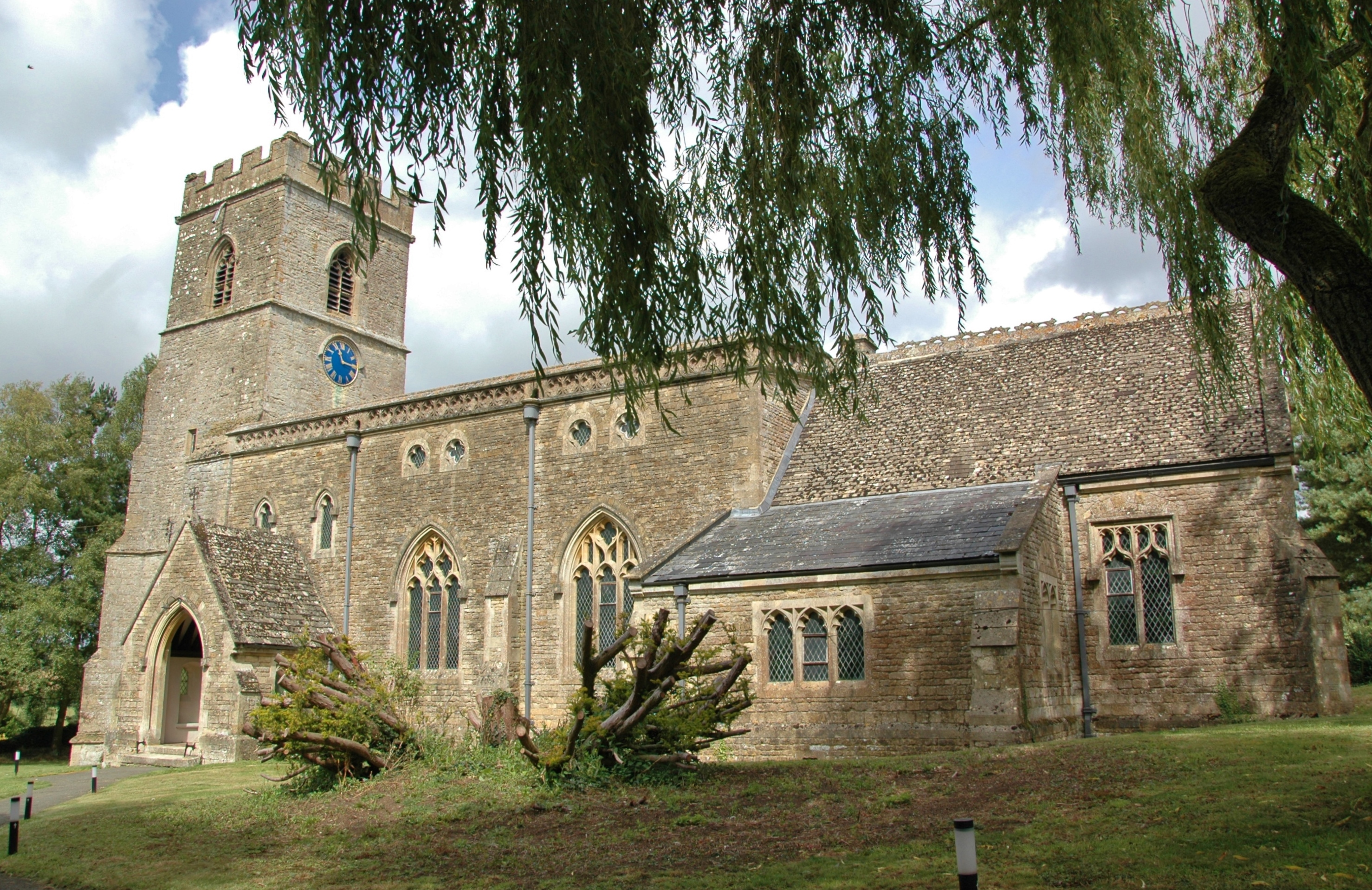
Middleton Stoney
Middleton Stoney is a village and civil parish about 2+1⁄2 miles (4 km) west of Bicester, Oxfordshire. The 2011 Census recorded the parish's population...
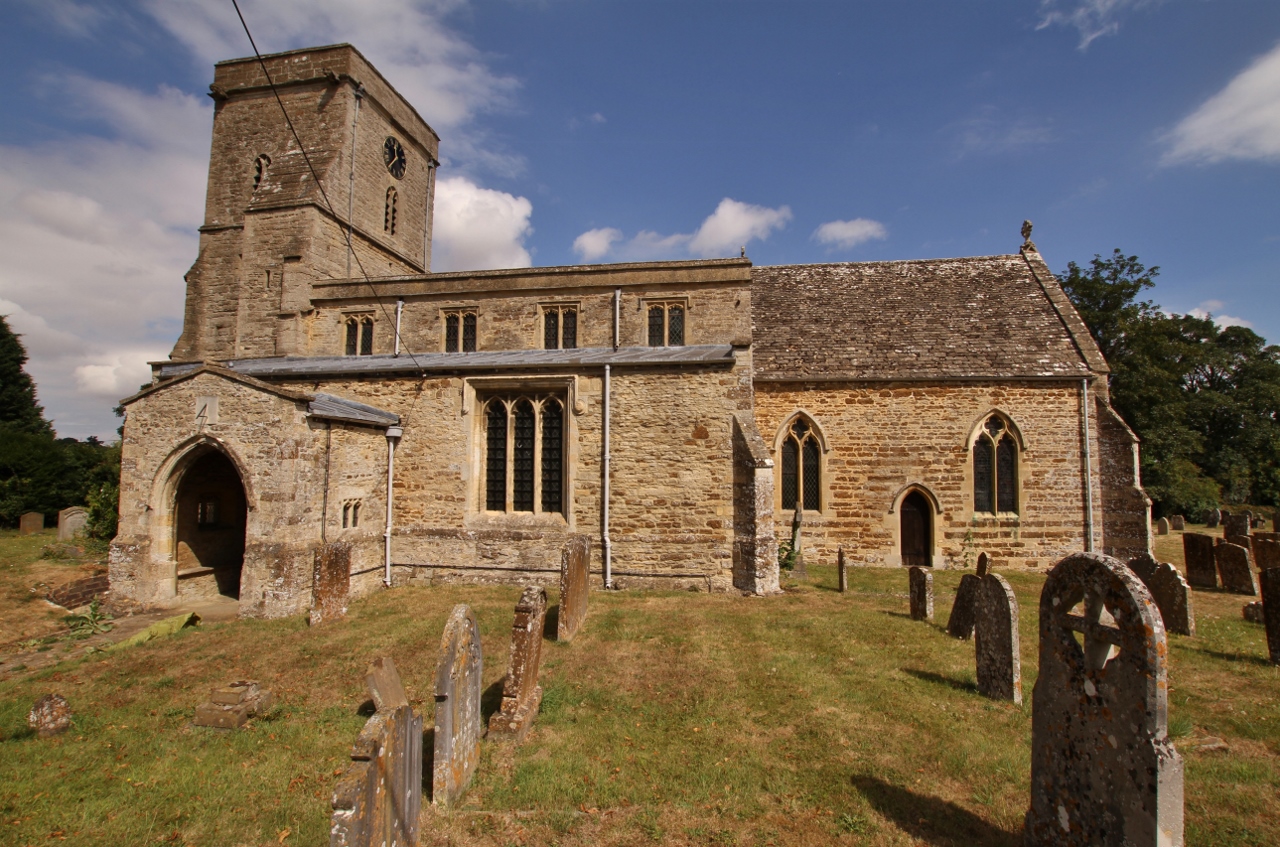
Upper Heyford, Oxfordshire
Upper Heyford is a village and civil parish about 6 miles (10 km) northwest of Bicester in Oxfordshire, England. The 2011 Census recorded the parish's...
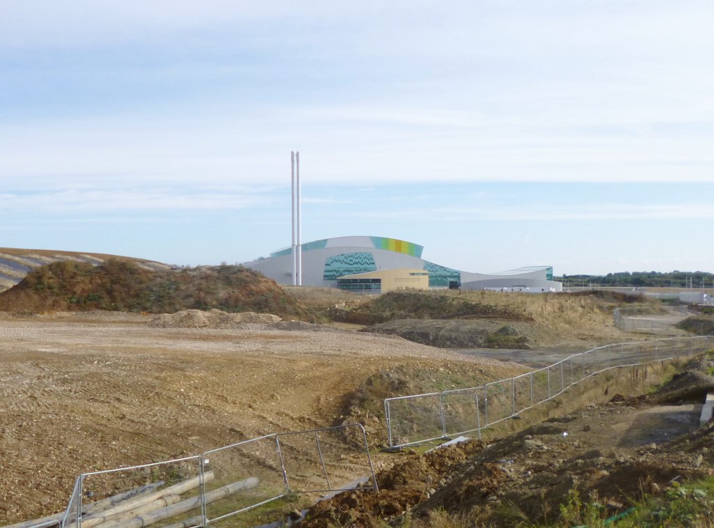
Ardley Trackways
Ardley Trackways is a 63.6-hectare (157-acre) geological Site of Special Scientific Interest north-west of Bicester in Oxfordshire. It is a Geological...
Lower Heyford
Lower Heyford is a village and civil parish beside the River Cherwell in Oxfordshire, about 6 miles (10 km) west of Bicester. The 2011 Census recorded...

RAF Upper Heyford
Royal Air Force Upper Heyford or more simply RAF Upper Heyford is a former Royal Air Force station located 5 miles (8 km) north-west of Bicester near the...
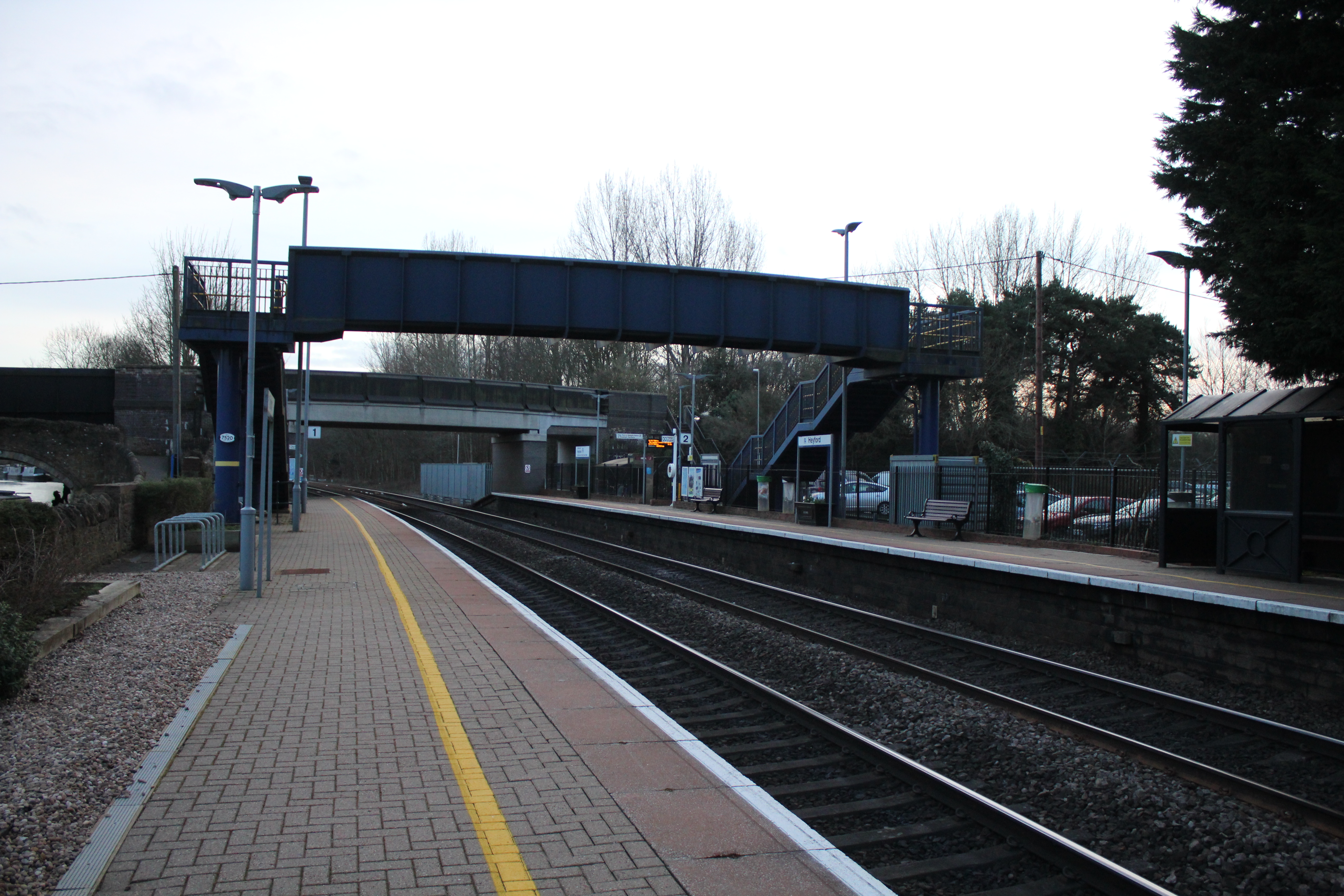
Heyford railway station
Heyford railway station serves the village of Lower Heyford and surrounding areas in Oxfordshire, England. It is on the Cherwell Valley Line and is ideally...
Nearby Amenities
Located within 500m of 51.907,-1.252Have you been to Aves Ditch?
Leave your review of Aves Ditch below (or comments, questions and feedback).