Averham Park
Heritage Site in Nottinghamshire
England
Averham Park

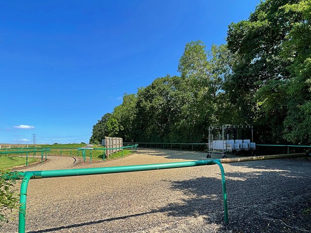
Averham Park, located in Nottinghamshire, England, is a renowned heritage site that offers visitors a glimpse into the rich history and natural beauty of the region. The park covers an area of approximately 25 acres and is known for its stunning landscapes, tranquil atmosphere, and well-preserved architectural features.
The park dates back to the 18th century when it was originally designed as a pleasure ground for the nearby Averham Hall, a Grade II listed mansion. The park's landscape was carefully planned to incorporate a mix of open lawns, woodlands, and ornamental gardens, creating a picturesque setting that continues to charm visitors to this day.
One of the park's most notable features is its collection of mature trees, including a variety of rare and exotic species. These trees provide ample shade and add to the park's overall aesthetic appeal. Additionally, the park boasts a beautiful lake, which is home to a wide range of waterfowl, making it a popular spot for birdwatching enthusiasts.
Averham Park is also home to several historic structures, including a small chapel, a walled garden, and a boathouse. These architectural gems serve as a testament to the park's rich past and are a major draw for history buffs and architecture enthusiasts.
Visitors to Averham Park can enjoy leisurely walks along its well-maintained paths, take in the breathtaking views, or simply relax and unwind in the peaceful surroundings. The park's accessibility and well-preserved features make it a popular destination for both locals and tourists alike, offering a unique blend of history, nature, and tranquility.
If you have any feedback on the listing, please let us know in the comments section below.
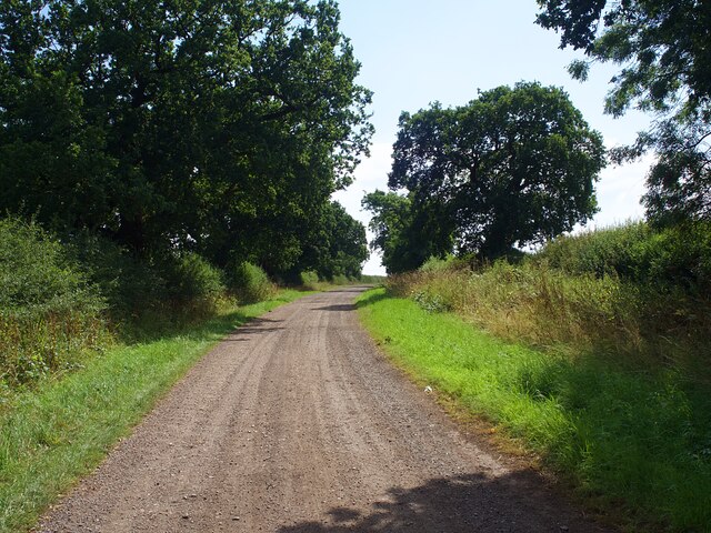
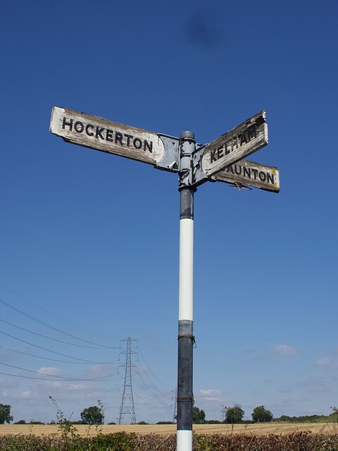
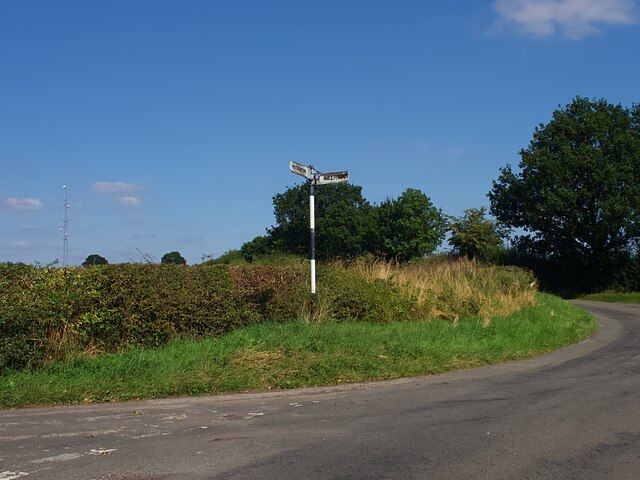
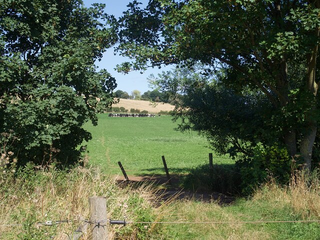
Averham Park Images
Images are sourced within 2km of 53.0995/-0.8915 or Grid Reference SK7456. Thanks to Geograph Open Source API. All images are credited.


Averham Park is located at Grid Ref: SK7456 (Lat: 53.0995, Lng: -0.8915)
Police Authority: Nottinghamshire
What 3 Words
///smiling.fire.losing. Near Southwell, Nottinghamshire
Nearby Locations
Related Wikis

Newark (UK Parliament constituency)
Newark is a constituency in Nottinghamshire, England. It is currently represented by Robert Jenrick of the Conservative Party who won the seat in a by...

Upton Hall, Nottinghamshire
Upton Hall is the headquarters of the British Horological Institute (BHI) in Upton, Newark and Sherwood, Nottinghamshire, England. It has been the headquarters...
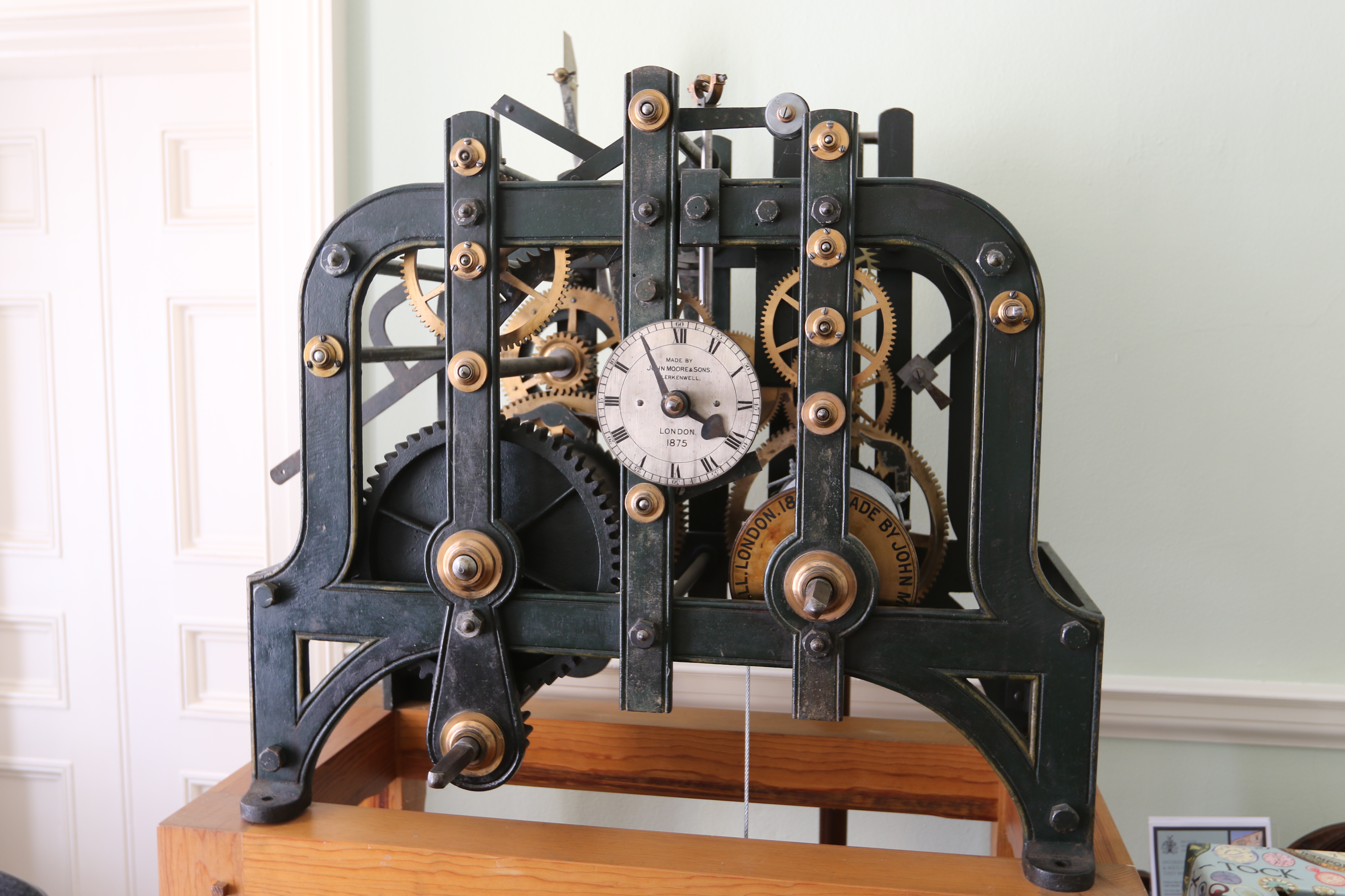
British Horological Institute
The British Horological Institute (BHI) is the representative body of the horological industry in the United Kingdom. It was founded by a group of clockmakers...

Upton, Newark and Sherwood
Upton is a small village in Nottinghamshire, England, 2 miles (3.2 km) east of Southwell, 5 miles (8.0 km) west of Newark and 3 miles (4.8 km) south of...
Nearby Amenities
Located within 500m of 53.0995,-0.8915Have you been to Averham Park?
Leave your review of Averham Park below (or comments, questions and feedback).