Breaklands Clump
Wood, Forest in Oxfordshire Cherwell
England
Breaklands Clump

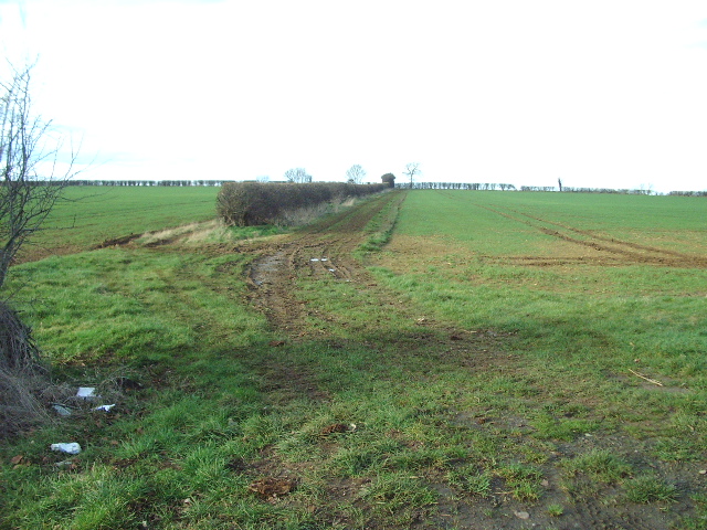
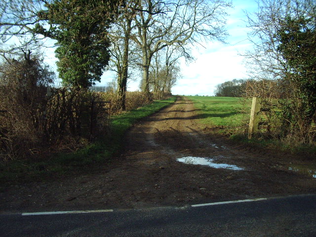
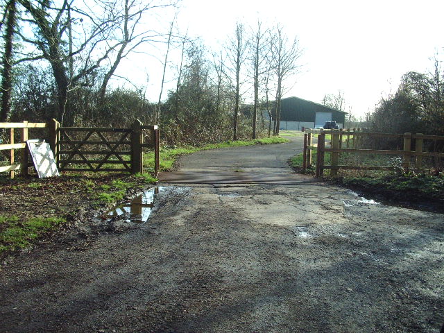
Breaklands Clump is a picturesque woodland area located in Oxfordshire, England. Covering an area of approximately 100 acres, it is situated on the outskirts of the village of Breaklands, near the town of Chipping Norton. The clump is a designated Site of Special Scientific Interest (SSSI) due to its rich biodiversity and historical significance.
The woodland is predominantly composed of native broadleaf trees, such as oak, beech, and ash, which create a dense and vibrant canopy. This creates a haven for a wide range of flora and fauna, including various species of wildflowers, ferns, and mosses. The clump is particularly renowned for its bluebell carpet, which attracts visitors from far and wide during the springtime.
In addition to its natural beauty, Breaklands Clump holds historical significance. It is believed to have been part of an ancient forest that once covered much of the region. Archaeological evidence suggests that the area has been inhabited since prehistoric times, with remnants of Bronze Age settlements and burial mounds found within the woodland.
The clump is a popular destination for nature lovers, walkers, and birdwatchers, who can explore the numerous walking trails that wind their way through the woodland. It also offers opportunities for outdoor activities, such as picnicking, camping, and wildlife photography.
Breaklands Clump is managed by a local conservation group in collaboration with the Oxfordshire County Council to ensure the preservation of its natural beauty and ecological diversity. With its tranquil atmosphere, diverse flora and fauna, and historical significance, Breaklands Clump is a true gem of Oxfordshire's countryside.
If you have any feedback on the listing, please let us know in the comments section below.
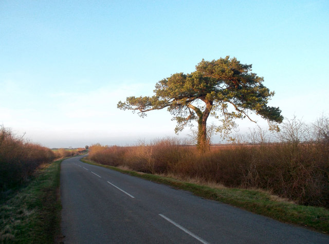
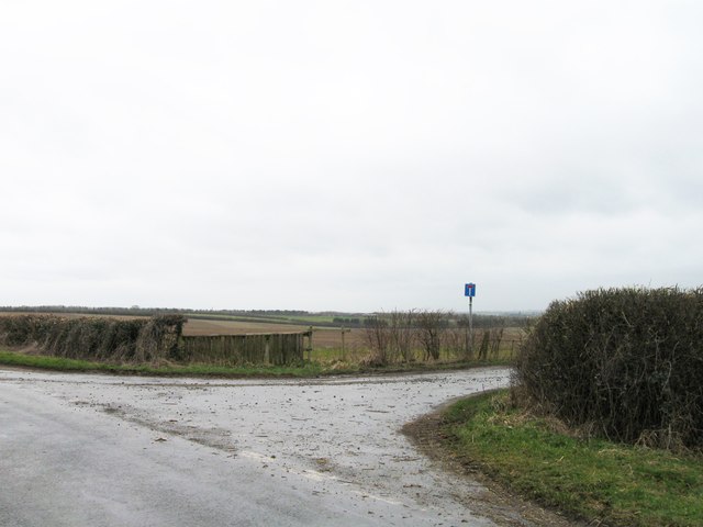
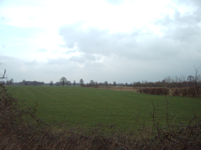
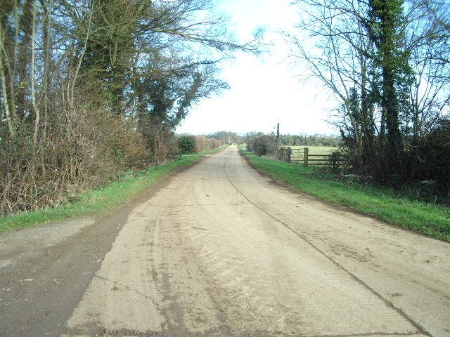
Breaklands Clump Images
Images are sourced within 2km of 51.904077/-1.2556956 or Grid Reference SP5123. Thanks to Geograph Open Source API. All images are credited.


Breaklands Clump is located at Grid Ref: SP5123 (Lat: 51.904077, Lng: -1.2556956)
Administrative County: Oxfordshire
District: Cherwell
Police Authority: Thames Valley
What 3 Words
///landlords.unpacked.year. Near Somerton, Oxfordshire
Nearby Locations
Related Wikis

Aves ditch
Aves Ditch (also known as Ash Bank, or Wattle Bank) is an Iron Age ditch and bank structure running about 3 miles (4.8 km) on a northeast to southwest...

Middleton Park, Oxfordshire
Middleton Park is a rural park in the parish of Middleton Stoney, Oxfordshire, England, about 2+1⁄2 miles (4 km) west of Bicester. The grounds are Grade...

Middleton Stoney
Middleton Stoney is a village and civil parish about 2+1⁄2 miles (4 km) west of Bicester, Oxfordshire. The 2011 Census recorded the parish's population...
Upper Heyford, Oxfordshire
Upper Heyford is a village and civil parish about 6 miles (10 km) northwest of Bicester in Oxfordshire, England. The 2011 Census recorded the parish's...
Lower Heyford
Lower Heyford is a village and civil parish beside the River Cherwell in Oxfordshire, about 6 miles (10 km) west of Bicester. The 2011 Census recorded...
Ardley Trackways
Ardley Trackways is a 63.6-hectare (157-acre) geological Site of Special Scientific Interest north-west of Bicester in Oxfordshire. It is a Geological...

Rousham
Rousham is a village and civil parish beside the River Cherwell in Oxfordshire. The village is about 6+1⁄2 miles (10.5 km) west of Bicester and about 6...
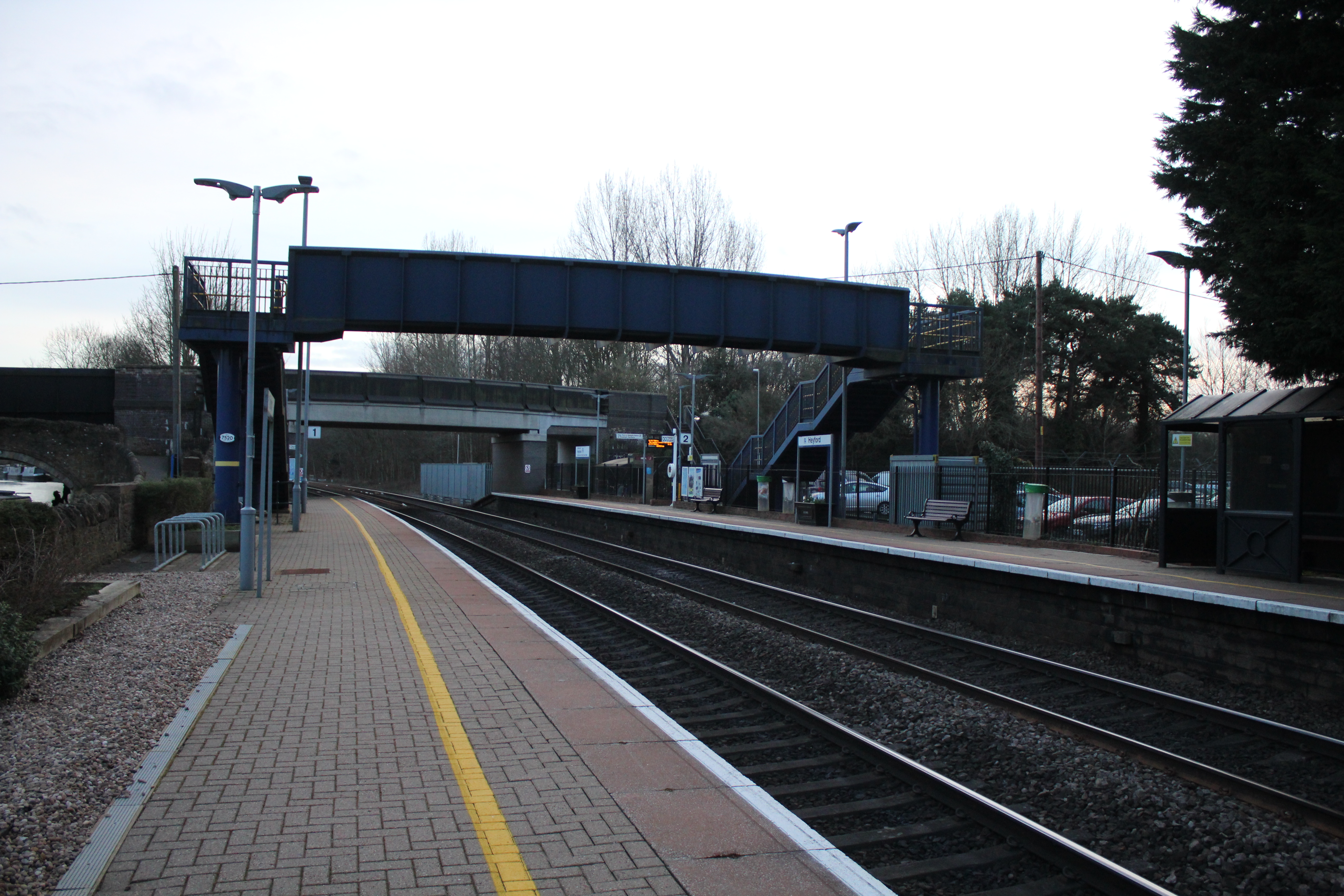
Heyford railway station
Heyford railway station serves the village of Lower Heyford and surrounding areas in Oxfordshire, England. It is on the Cherwell Valley Line and is ideally...
Nearby Amenities
Located within 500m of 51.904077,-1.2556956Have you been to Breaklands Clump?
Leave your review of Breaklands Clump below (or comments, questions and feedback).