Ashleworth Court
Heritage Site in Gloucestershire Tewkesbury
England
Ashleworth Court
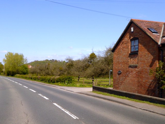
Ashleworth Court is a historic heritage site located in Gloucestershire, England. It is a Grade I listed building that holds immense historical and architectural significance. The court is situated in the village of Ashleworth, nestled amidst picturesque countryside and surrounded by beautifully landscaped gardens.
The origins of Ashleworth Court can be traced back to the 14th century, with the current structure dating back to the 17th century. The building showcases a stunning example of Jacobean architecture, characterized by its symmetrical design, mullioned windows, and striking gabled roof.
The interior of Ashleworth Court is equally impressive, featuring exquisite woodwork, ornate ceilings, and grand fireplaces. The court has undergone several renovations over the years, ensuring its preservation and restoration to its former glory, preserving its historical charm for generations to come.
Surrounding the court are extensive gardens, which have been beautifully maintained and add to the overall grandeur of the site. The gardens boast manicured lawns, vibrant flower beds, and serene water features. These gardens provide a tranquil and picturesque setting, making Ashleworth Court a popular destination for visitors seeking to immerse themselves in the beauty of the English countryside.
Ashleworth Court is not only a stunning architectural gem but also plays a significant role in local history. It has been associated with notable families throughout its existence, and its heritage value has been acknowledged through its listing as a Grade I building.
In conclusion, Ashleworth Court in Gloucestershire stands as a testament to the region's rich history and architectural heritage. Its grand Jacobean design, intricate interiors, and beautiful gardens make it a must-visit destination for history enthusiasts and lovers of timeless beauty.
If you have any feedback on the listing, please let us know in the comments section below.
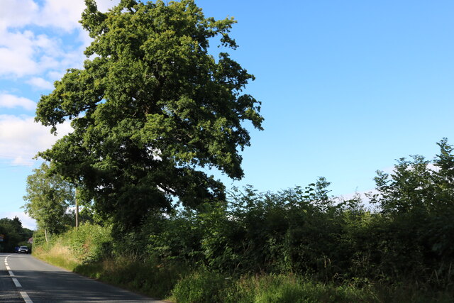
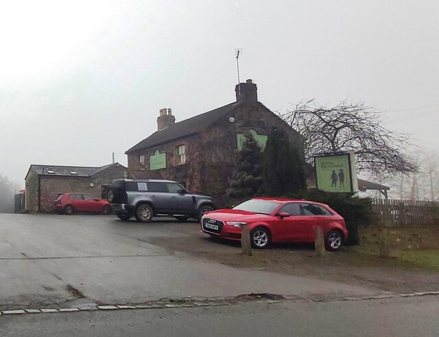
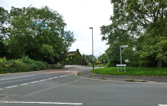
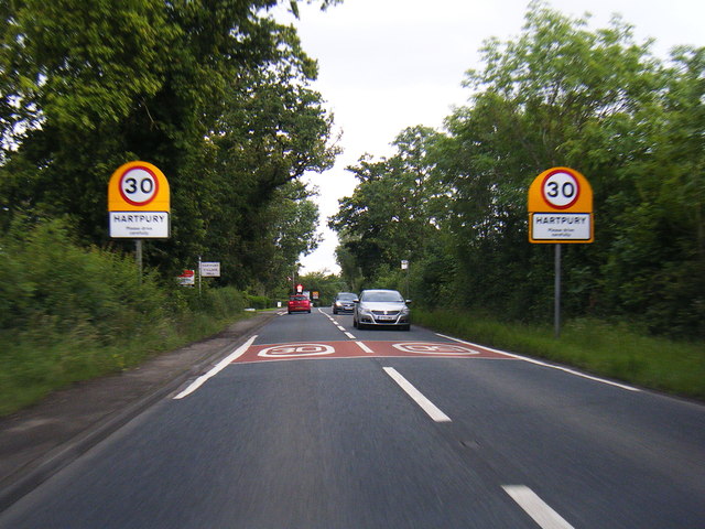
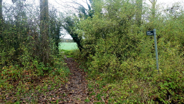
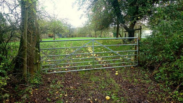
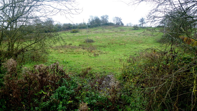
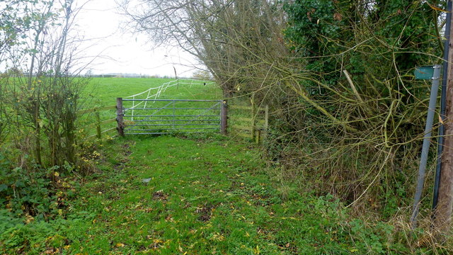
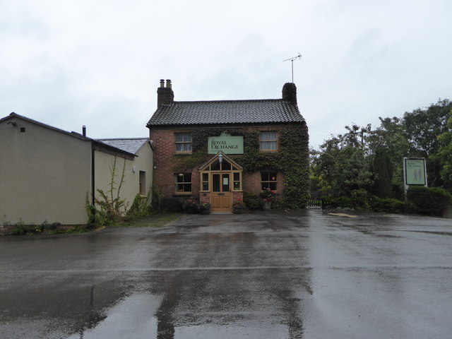
Ashleworth Court Images
Images are sourced within 2km of 51.927/-2.268 or Grid Reference SO8125. Thanks to Geograph Open Source API. All images are credited.


Ashleworth Court is located at Grid Ref: SO8125 (Lat: 51.927, Lng: -2.268)
Administrative County: Gloucestershire
District: Tewkesbury
Police Authority: Gloucestershire
What 3 Words
///dressy.purifier.business. Near Corse, Gloucestershire
Nearby Locations
Related Wikis

Ashleworth Court
Ashleworth Court is a grade I listed house close to the River Severn in Ashleworth, Gloucestershire, England.The site has revealed pottery from Roman Britain...
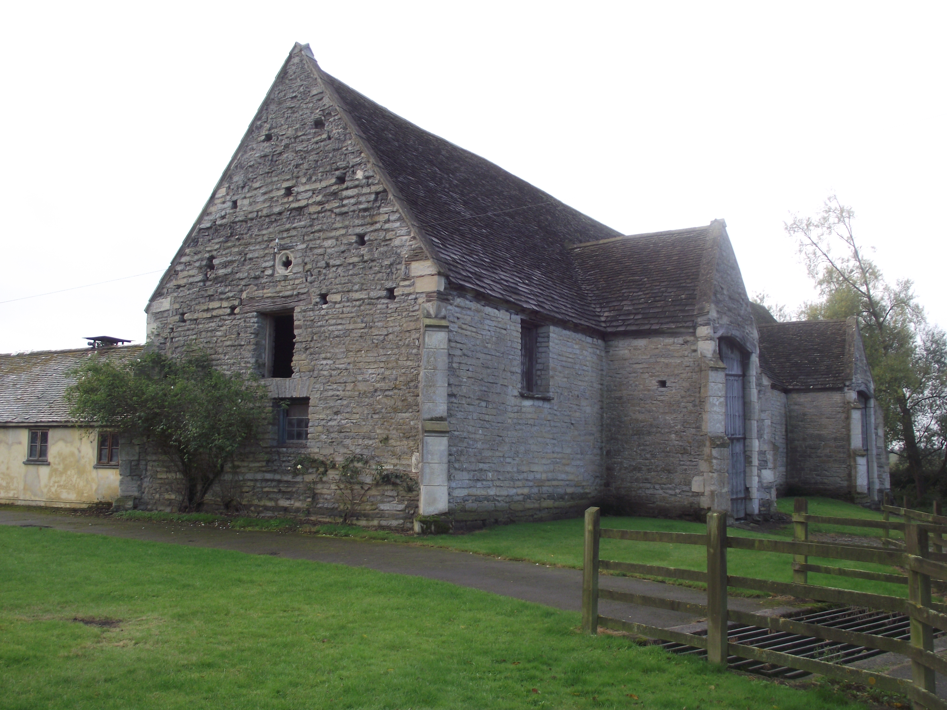
Ashleworth Tithe Barn
Ashleworth Tithe Barn is a large 15th-century tithe barn located at Ashleworth, Gloucestershire, England, standing close to the River Severn. It is a Grade...

Ashleworth
Ashleworth (sometimes formerly spelled ‘Ashelworth’) is a village and civil parish in the Tewkesbury district of Gloucestershire, England, with a population...

Hasfield
Hasfield is a civil parish in Gloucestershire, England, and lies six miles (9.7 km) south-west of Tewkesbury and seven miles (11 km) north of Gloucester...
Ashleworth Ham
Ashleworth Ham (grid reference SO833263) is a 104.73-hectare (258.8-acre) biological Site of Special Scientific Interest. It is a large area of grassland...

Hartpury
Hartpury is a civil parish in Gloucestershire, England. It has an area of about 3,500 acres (1,400 ha), about 270 homes and a population of about 700 people...

Foscombe
Foscombe is a grade II* listed country house in Ashleworth, Gloucestershire. It was built around 1860 in the Gothic Revival style for the personal use...

Hasfield Court
Hasfield Court is a Grade II* listed building in Hasfield, Gloucestershire, England. Hasfield Court was the site of a medieval manor house, the home of...
Nearby Amenities
Located within 500m of 51.927,-2.268Have you been to Ashleworth Court?
Leave your review of Ashleworth Court below (or comments, questions and feedback).