Ashleworth
Settlement in Gloucestershire Tewkesbury
England
Ashleworth
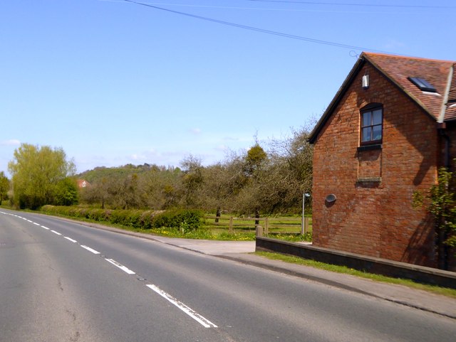
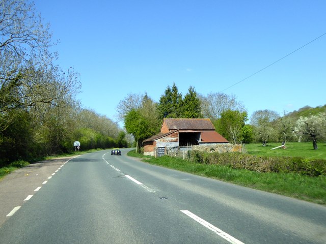
Ashleworth is a small village located in the county of Gloucestershire, England. Situated on the banks of the River Severn, it lies approximately 8 miles northeast of Gloucester, the county's largest city. The village enjoys a picturesque rural setting, surrounded by stunning countryside and rolling hills.
Ashleworth is known for its rich history, with evidence of human settlement dating back to the Roman period. The village is mentioned in the Domesday Book of 1086, highlighting its significance even in medieval times. Today, it retains much of its traditional charm, with a number of historic buildings still intact, including the 12th-century church of St. Andrew.
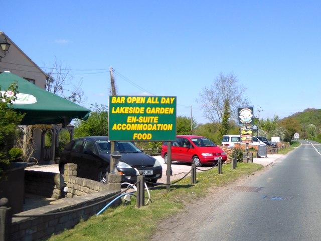
The village is home to a close-knit community, with a population of around 700 residents. Despite its small size, Ashleworth offers a range of amenities, including a primary school, a village hall, and a local pub. The village also hosts several community events throughout the year, fostering a strong sense of community spirit.
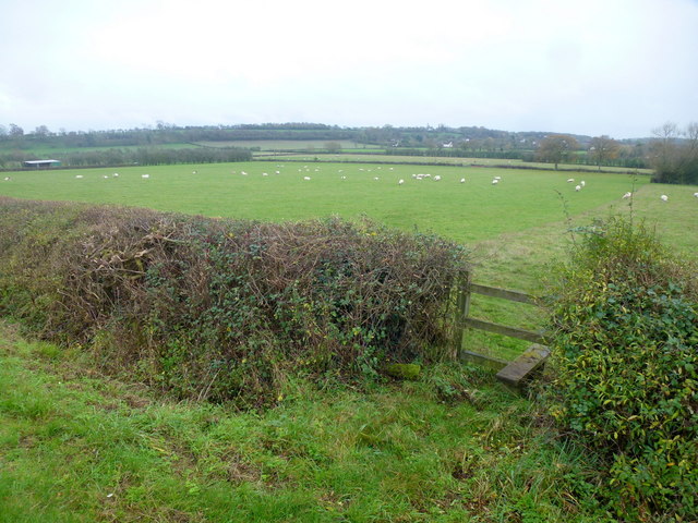
Nature lovers are drawn to Ashleworth for its proximity to the Ashleworth Ham Nature Reserve, an area of wetland known for its diverse birdlife. The reserve is a designated Site of Special Scientific Interest and provides habitat for various species, including wintering wildfowl and breeding wading birds.
Overall, Ashleworth presents a serene and idyllic place to live or visit, offering a peaceful rural lifestyle and opportunities to connect with nature.
If you have any feedback on the listing, please let us know in the comments section below.
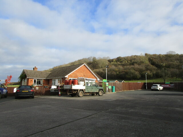
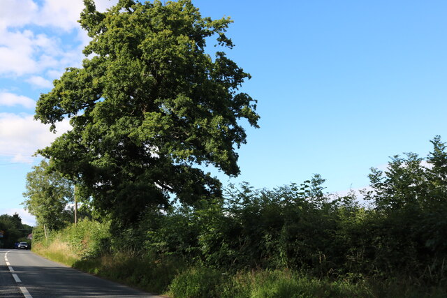
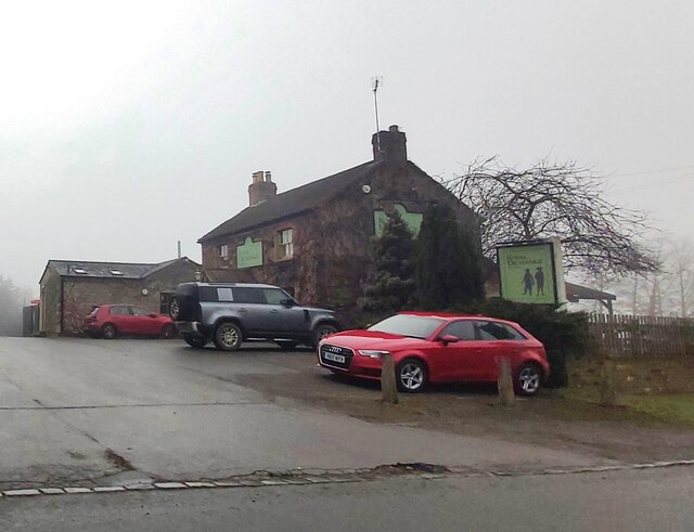
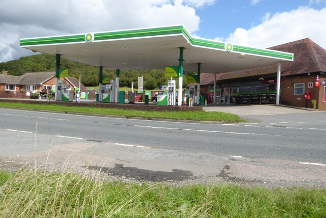
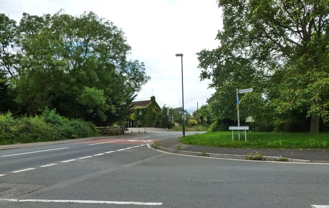
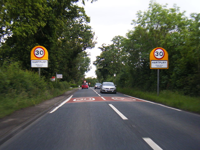
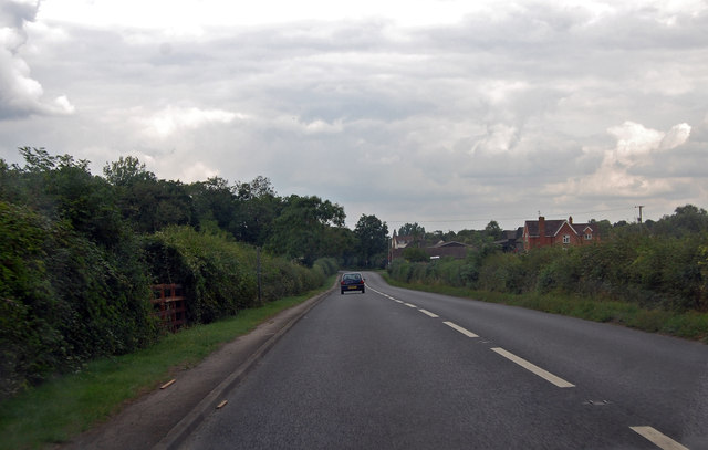
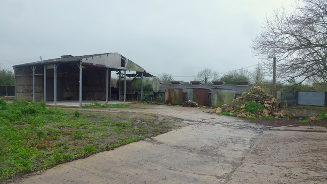
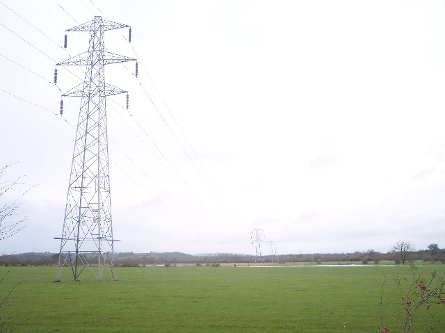
Ashleworth Images
Images are sourced within 2km of 51.928401/-2.274559 or Grid Reference SO8125. Thanks to Geograph Open Source API. All images are credited.


Ashleworth is located at Grid Ref: SO8125 (Lat: 51.928401, Lng: -2.274559)
Administrative County: Gloucestershire
District: Tewkesbury
Police Authority: Gloucestershire
What 3 Words
///remote.bypassed.chopper. Near Corse, Gloucestershire
Nearby Locations
Related Wikis

Ashleworth Court
Ashleworth Court is a grade I listed house close to the River Severn in Ashleworth, Gloucestershire, England.The site has revealed pottery from Roman Britain...
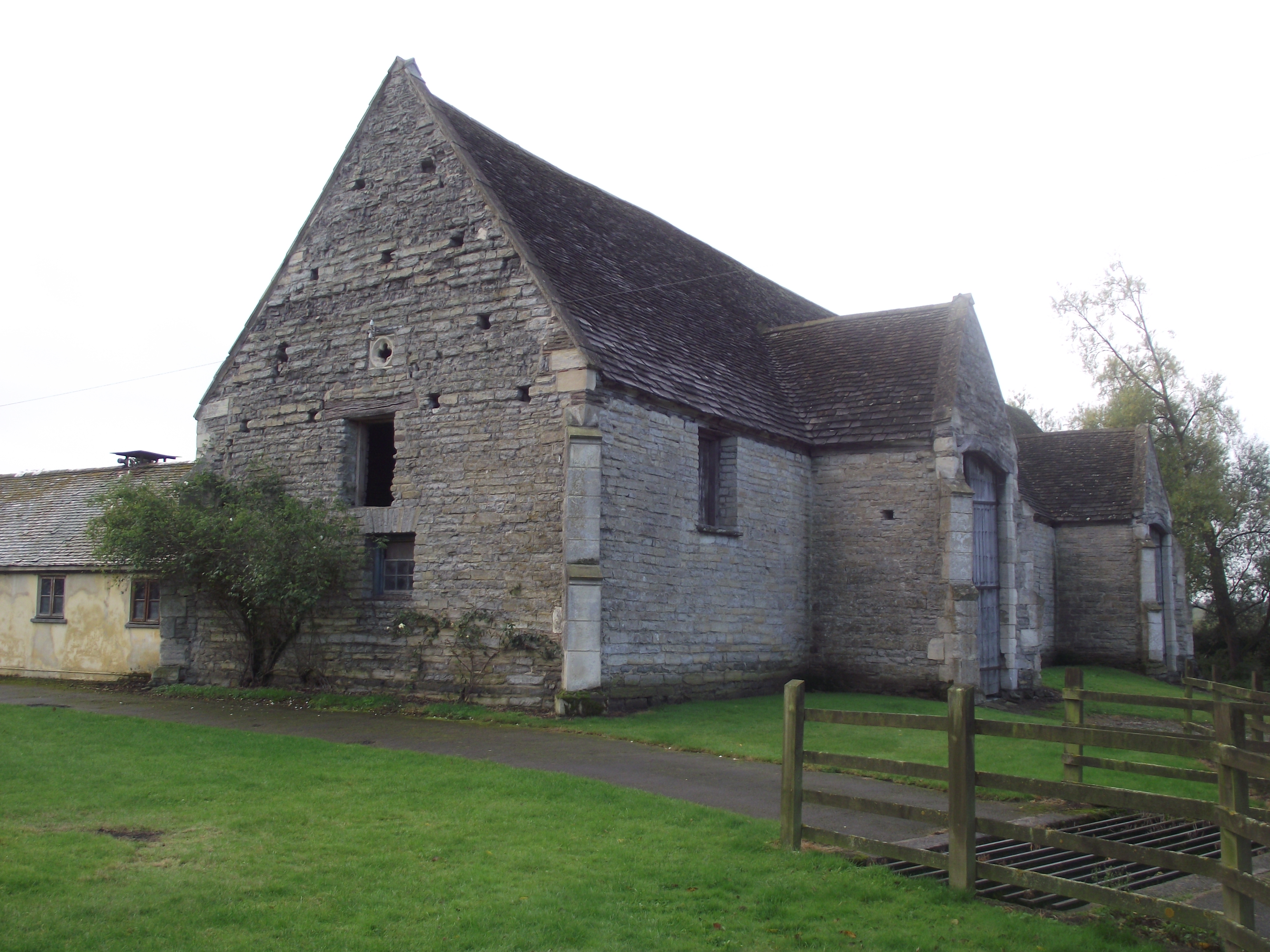
Ashleworth Tithe Barn
Ashleworth Tithe Barn is a large 15th-century tithe barn located at Ashleworth, Gloucestershire, England, standing close to the River Severn. It is a Grade...

Ashleworth
Ashleworth (sometimes formerly spelled ‘Ashelworth’) is a village and civil parish in the Tewkesbury district of Gloucestershire, England, with a population...

Hartpury
Hartpury is a civil parish in Gloucestershire, England. It has an area of about 3,500 acres (1,400 ha), about 270 homes and a population of about 700 people...

Foscombe
Foscombe is a grade II* listed country house in Ashleworth, Gloucestershire. It was built around 1860 in the Gothic Revival style for the personal use...

Hasfield
Hasfield is a civil parish in Gloucestershire, England, and lies six miles (9.7 km) south-west of Tewkesbury and seven miles (11 km) north of Gloucester...
Ashleworth Ham
Ashleworth Ham (grid reference SO833263) is a 104.73-hectare (258.8-acre) biological Site of Special Scientific Interest. It is a large area of grassland...

Hasfield Court
Hasfield Court is a Grade II* listed building in Hasfield, Gloucestershire, England. Hasfield Court was the site of a medieval manor house, the home of...
Nearby Amenities
Located within 500m of 51.928401,-2.274559Have you been to Ashleworth?
Leave your review of Ashleworth below (or comments, questions and feedback).