Ash Tree Cave
Heritage Site in Derbyshire Bolsover
England
Ash Tree Cave

Ash Tree Cave is a renowned heritage site located in Derbyshire, England. Nestled within the picturesque Peak District National Park, this cave holds significant historical and geological value. The cave's name is derived from the nearby Ash Tree Farm.
Formed millions of years ago, Ash Tree Cave is a limestone cave system that stretches over 300 meters in length. It boasts stunning natural formations, including stalagmites, stalactites, and flowstone, which have captivated visitors for centuries. These formations are a testament to the slow process of erosion and deposition that has shaped the cave over time.
The cave has a rich history of human habitation. Archaeological excavations have revealed evidence of past human occupation, dating back to the Paleolithic era. Artifacts such as flint tools and animal bones have been discovered, providing valuable insights into the lives of our ancient ancestors.
Today, Ash Tree Cave is a popular destination for tourists and cave enthusiasts alike. Guided tours offer visitors the opportunity to explore the cave's wonders while learning about its geological and historical significance. The cave's natural beauty and intriguing past attract thousands of visitors each year, making it an important contributor to Derbyshire's tourism industry.
Ash Tree Cave is not only a stunning natural wonder but also a window into our ancient past. Its preservation as a heritage site ensures that future generations can appreciate and learn from the history and geology that it holds.
If you have any feedback on the listing, please let us know in the comments section below.
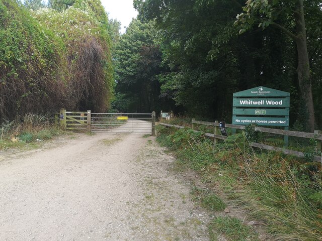
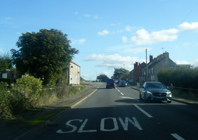
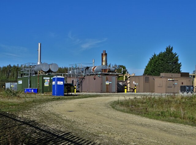
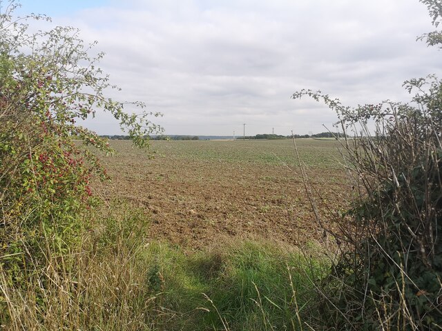
Ash Tree Cave Images
Images are sourced within 2km of 53.283/-1.227 or Grid Reference SK5176. Thanks to Geograph Open Source API. All images are credited.


Ash Tree Cave is located at Grid Ref: SK5176 (Lat: 53.283, Lng: -1.227)
Administrative County: Derbyshire
District: Bolsover
Police Authority: Derbyshire
What 3 Words
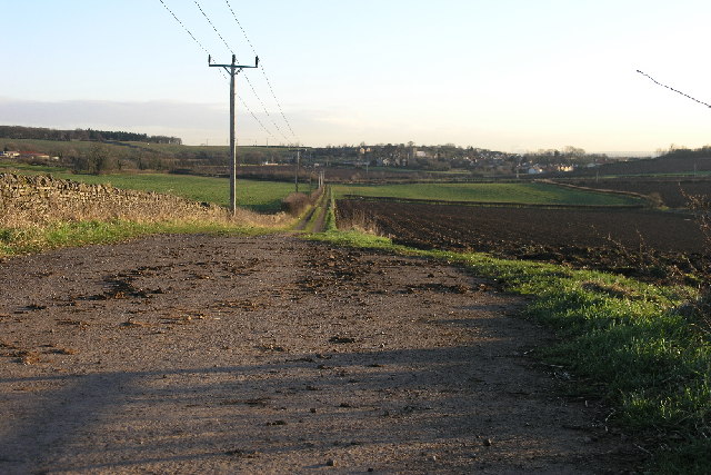
///single.boarding.bulldozer. Near Whitwell, Derbyshire
Nearby Locations
Related Wikis
Bakestone Moor
Bakestone Moor is an area of settlement in Derbyshire, England. It is located on the west side of Whitwell.

Whitwell Common
Whitwell Common is a village, in Bolsover District, Derbyshire, lying just North-West of Whitwell, straddling the A619, which runs between Chesterfield...

St Lawrence's Church, Whitwell
St Lawrence's Church, Whitwell is a Grade I listed parish church in the Church of England in Whitwell, Derbyshire. == History == The church dates from...

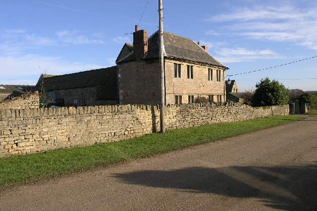
Whitwell Old Hall
Whitwell Old Hall is an early 17th-century manor house at Whitwell, Derbyshire. It is a Grade II* listed building. The manor of Whitwell was purchased...

Whitwell, Derbyshire
Whitwell is a village in Derbyshire, England. The population of the civil parish (including Whitwell Common) taken at the 2011 Census was 3,900.Although...

Clowne Rural District
Clowne was a rural district in Derbyshire, England from 1894 to 1974. It was created by the Local Government Act 1894 as that part of the Worksop rural...
Markland Grips Viaduct
Markland Grips Viaduct is a former railway viaduct south east of Clowne, Derbyshire, England. == Context == The viaduct carried the LD&ECR's double-track...
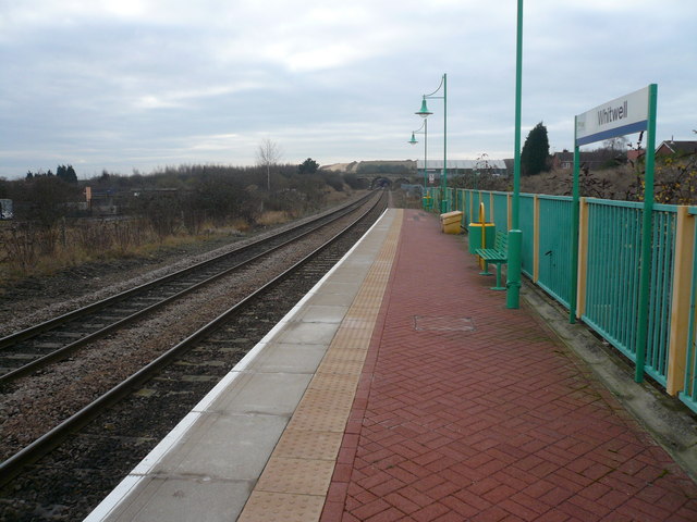
Whitwell railway station
Whitwell railway station serves the village of Whitwell in Derbyshire, England. The station is on the Robin Hood Line 4¾ miles (7 km) south west of Worksop...
Nearby Amenities
Located within 500m of 53.283,-1.227Have you been to Ash Tree Cave?
Leave your review of Ash Tree Cave below (or comments, questions and feedback).