Amberley Mount
Heritage Site in Sussex
England
Amberley Mount
Amberley Mount is a historic site located in the county of Sussex, England. Situated near the village of Amberley, it is considered a significant heritage site due to its rich historical and architectural value. The Mount, also known as Amberley Castle, dates back to the 12th century, making it an important landmark in the region.
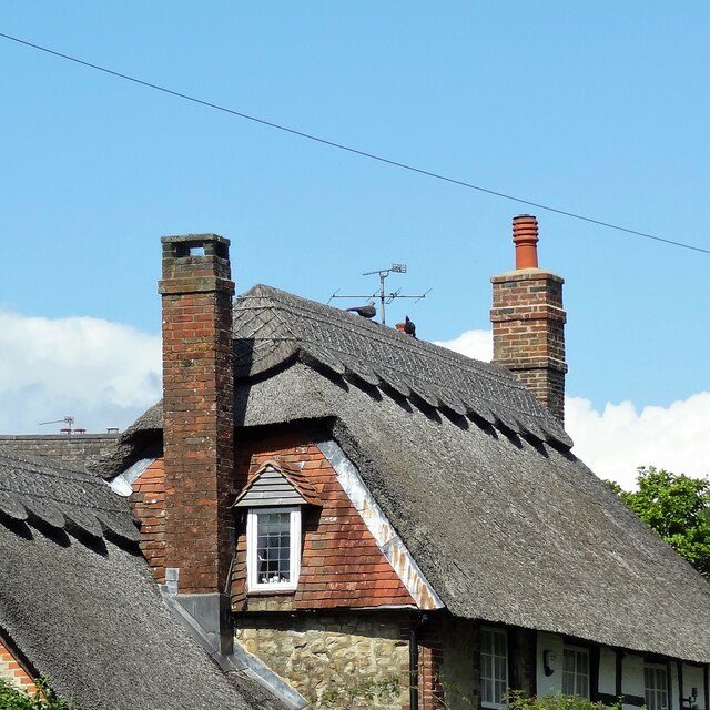
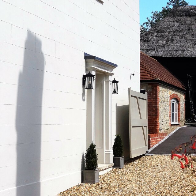
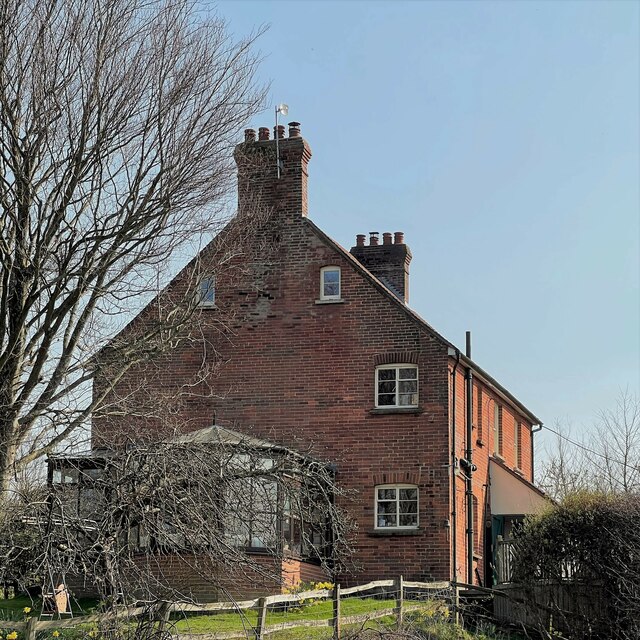
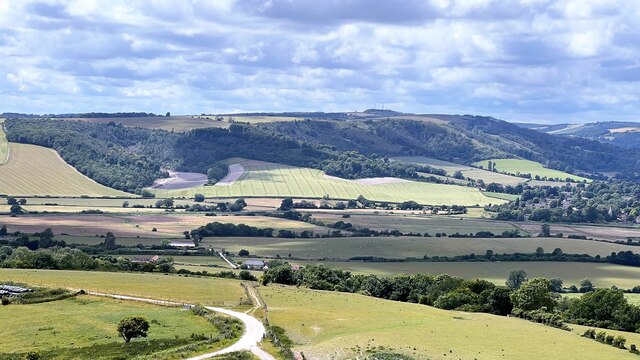
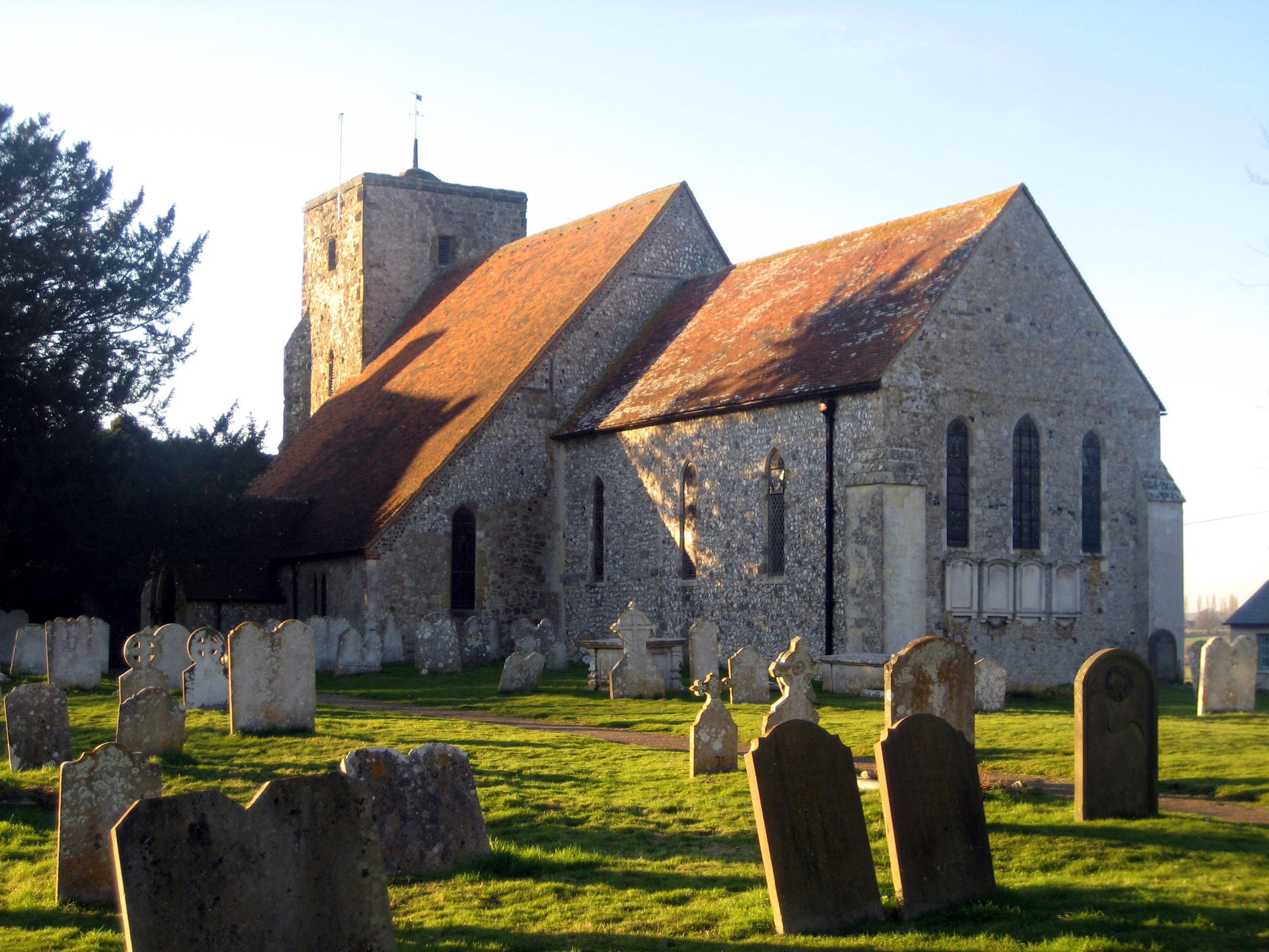
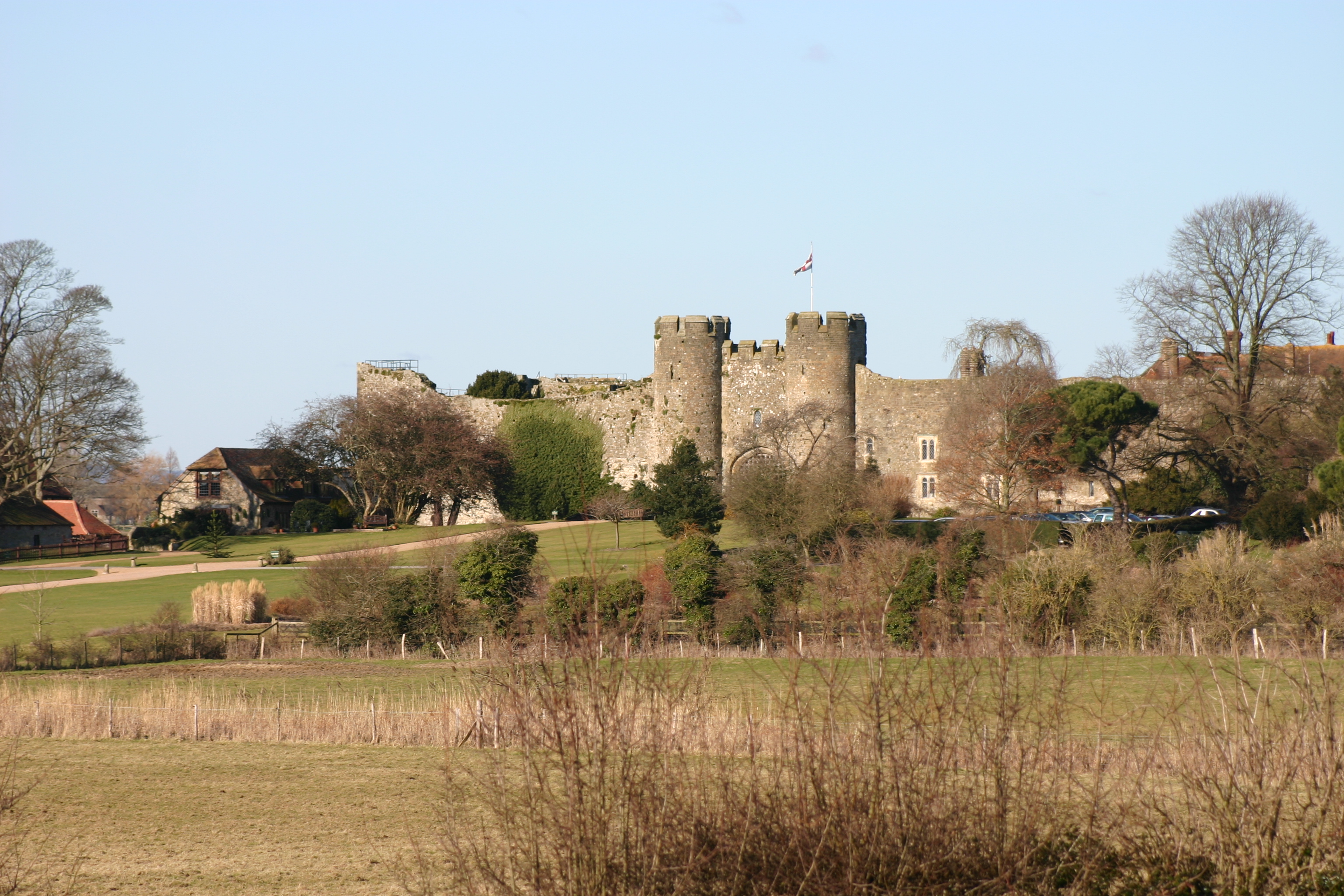
The site is characterized by its well-preserved medieval architecture, including a motte-and-bailey castle and a picturesque courtyard. The castle was originally built as a defensive structure, with its strategic location providing views over the surrounding landscape. Over the centuries, it underwent several modifications and additions, transforming it into a grand residence.
The castle's architecture features elements from various time periods, including Norman and Tudor styles. Its sturdy stone walls, imposing gatehouse, and battlements are some of the notable features that reflect its medieval origins. Inside, visitors can explore the castle's interior, which boasts impressive period furnishings, original fireplaces, and intricate woodwork.
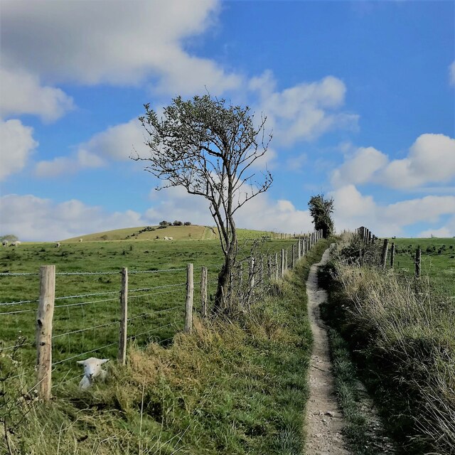
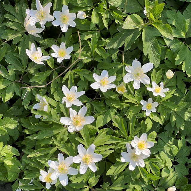
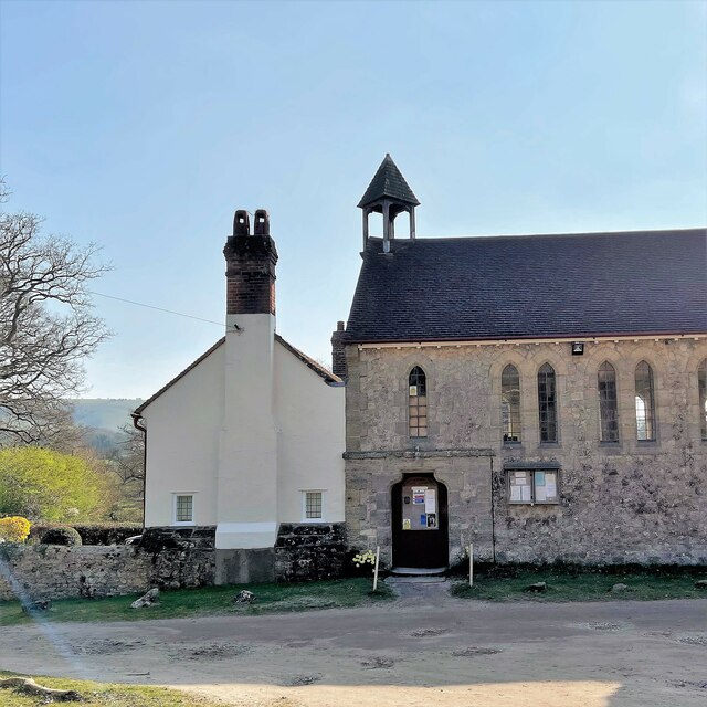
Surrounding the castle is a serene landscape of gardens and parkland. The well-maintained gardens offer a peaceful retreat, with manicured lawns, vibrant flower beds, and ancient trees. The site also houses a chapel, which serves as a reminder of its former religious significance.
Today, Amberley Mount is open to the public, offering guided tours and various events throughout the year. Its historical and architectural significance, combined with the idyllic setting, make it a popular destination for history enthusiasts, architectural admirers, and nature lovers alike.
If you have any feedback on the listing, please let us know in the comments section below.
Amberley Mount Images
Images are sourced within 2km of 50.902/-0.513 or Grid Reference TQ0412. Thanks to Geograph Open Source API. All images are credited.


Amberley Mount is located at Grid Ref: TQ0412 (Lat: 50.902, Lng: -0.513)
What 3 Words
///towels.push.caressed. Near Storrington, West Sussex
Nearby Locations
Related Wikis

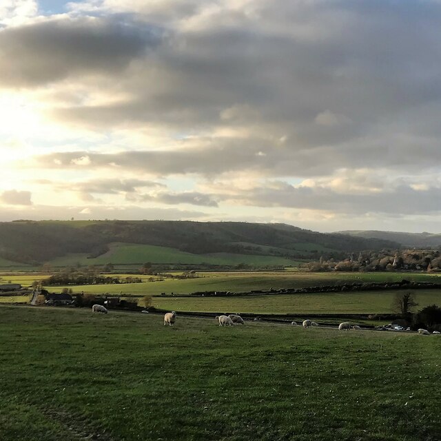
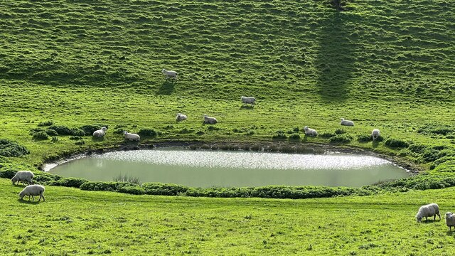
South Downs
The South Downs are a range of chalk hills in the south-eastern coastal counties of England that extends for about 260 sq mi (670 km2) across the south...
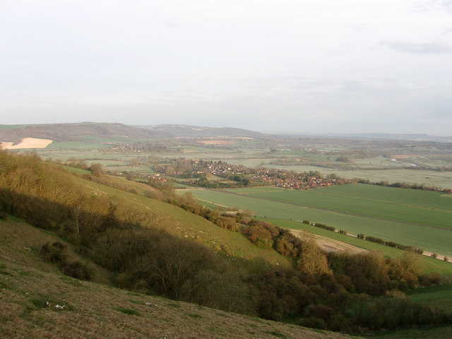
Amberley Mount to Sullington Hill
Amberley Mount to Sullington Hill is a 177.2-hectare (438-acre) biological Site of Special Scientific Interest south-west of Storrington in West Sussex...

Amberley Museum Railway
The Amberley Museum Railway is a 2 ft (610 mm) narrow gauge railway based at Amberley Museum, Amberley, West Sussex. It has a varied collection of engines...
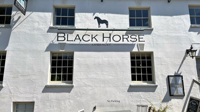
Amberley, West Sussex
Amberley is a village and civil parish in the Horsham District of West Sussex, England. It is situated at the foot of the South Downs, 4 miles (6 km) north...
List of local nature reserves in West Sussex
Local nature reserves (LNRs) are designated by local authorities under the National Parks and Access to the Countryside Act 1949. The local authority must...

West Sussex
West Sussex is a ceremonial county in South East England. It is bordered by Surrey to the north, East Sussex to the east, the English Channel to the south...

Amberley Museum & Heritage Centre
Amberley Museum is an open-air industrial heritage museum at Amberley, near Arundel in West Sussex, England. The museum is owned and operated by Amberley...
Amberley Castle
Amberley Castle stands in the village of Amberley, West Sussex (grid reference TQ027132). The castle was erected as a 12th-century manor house and fortified...
Nearby Amenities
Located within 500m of 50.902,-0.513Have you been to Amberley Mount ?
Leave your review of Amberley Mount below (or comments, questions and feedback).