Ambleside

Heritage Site in Westmorland

England

Ambleside

A bird with its breakfast on Wansfell
A bird with its breakfast on Wansfell Credit: Gareth James

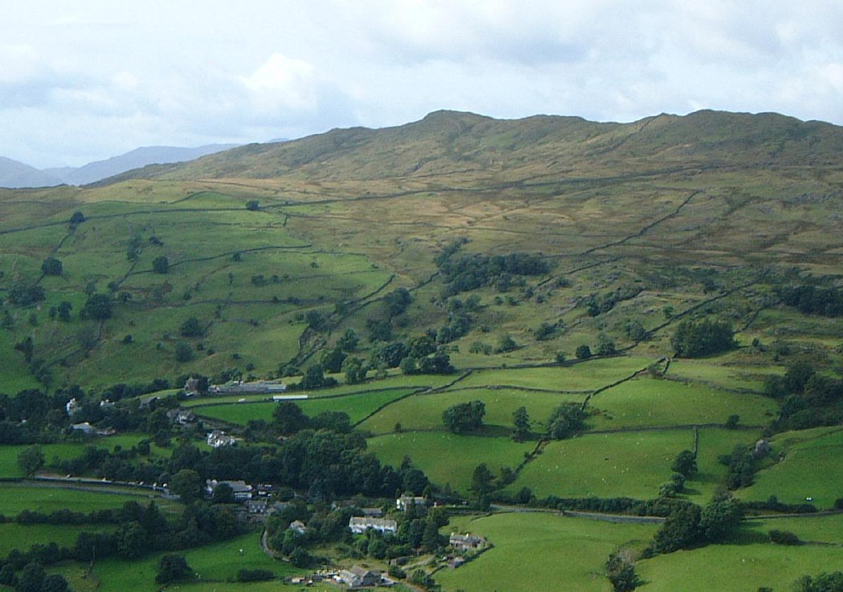
Ambleside, located in the historic county of Westmorland in the North West of England, is a picturesque town that boasts a rich heritage and natural beauty. Situated at the head of Lake Windermere in the Lake District National Park, Ambleside is known for its stunning landscapes, charming stone buildings, and its importance as a heritage site.

The town of Ambleside has a long history that dates back to Roman times, and evidence of its past can be seen in the remains of the Roman fort, Galava, which once stood near the present-day town. Over the centuries, Ambleside grew in importance as a center for trade and industry, particularly in the wool and textiles sectors.

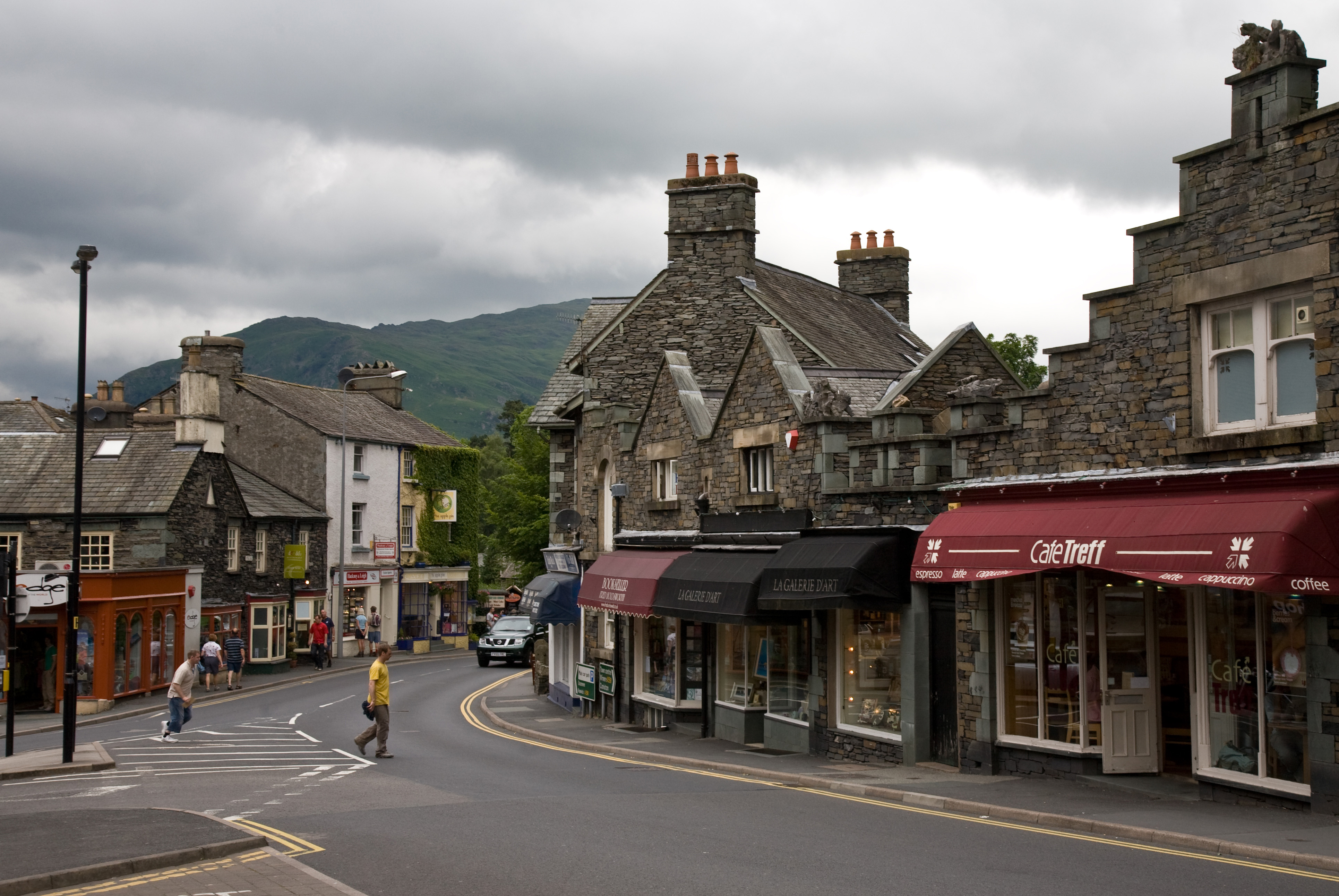
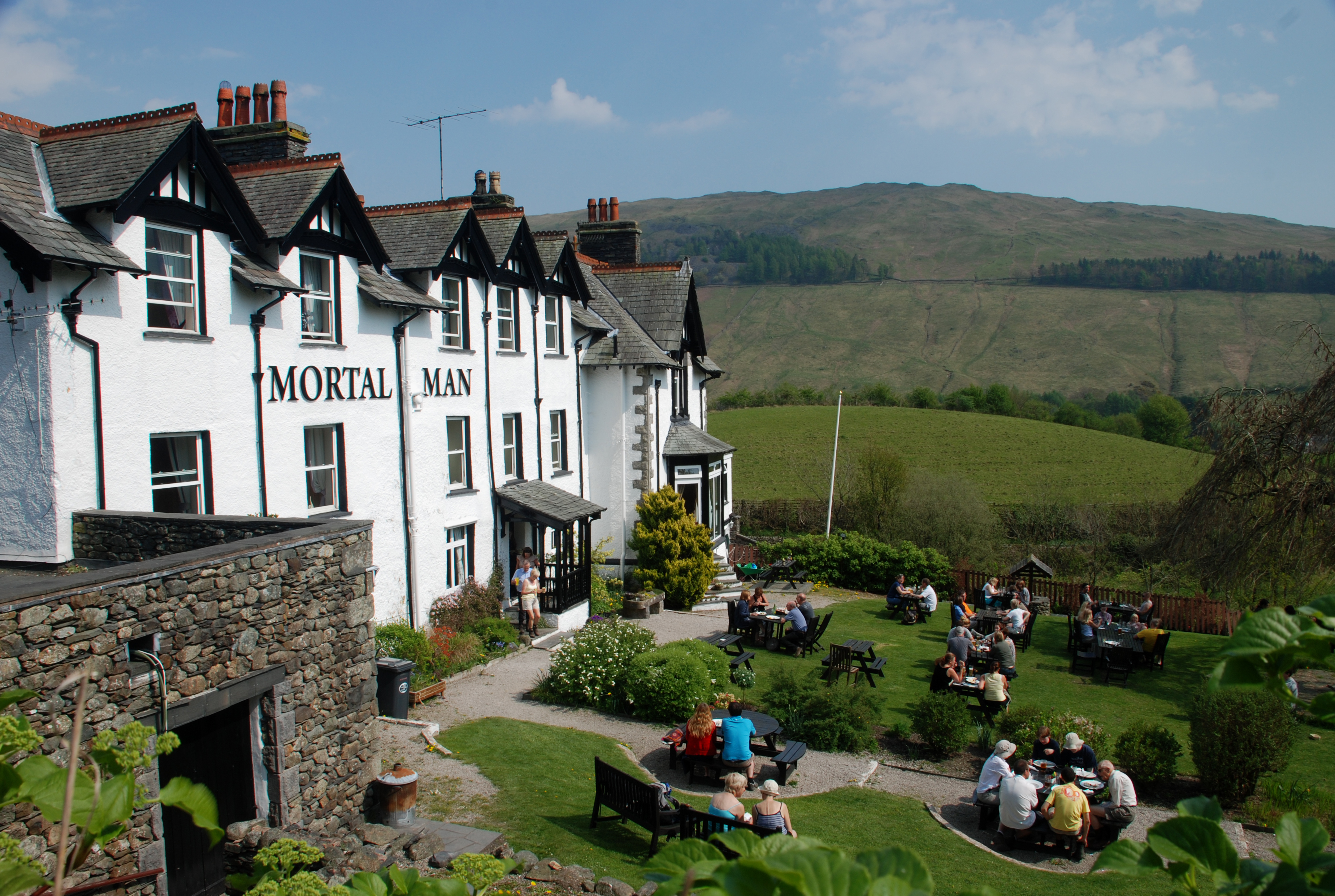
Today, Ambleside is a popular tourist destination, attracting visitors from around the world who come to explore the surrounding natural beauty. The town itself is a charming mix of narrow streets, historic buildings, and traditional stone houses. The notable Bridge House, a small 17th-century structure perched over Stock Beck, is a local landmark and a symbol of Ambleside's heritage.

In addition to its architectural charm, Ambleside offers a range of cultural and recreational opportunities. Visitors can enjoy hiking and walking trails, including the famous Fairfield Horseshoe, which offers breathtaking views of the surrounding fells and lakes. The town is also home to several museums, art galleries, and independent shops, making it a hub for arts and culture in the region.

Overall, Ambleside in Westmorland is a heritage site that combines natural beauty, historic significance, and cultural appeal, making it a must-visit destination for those seeking an authentic experience in the heart of the Lake District.

If you have any feedback on the listing, please let us know in the comments section below.
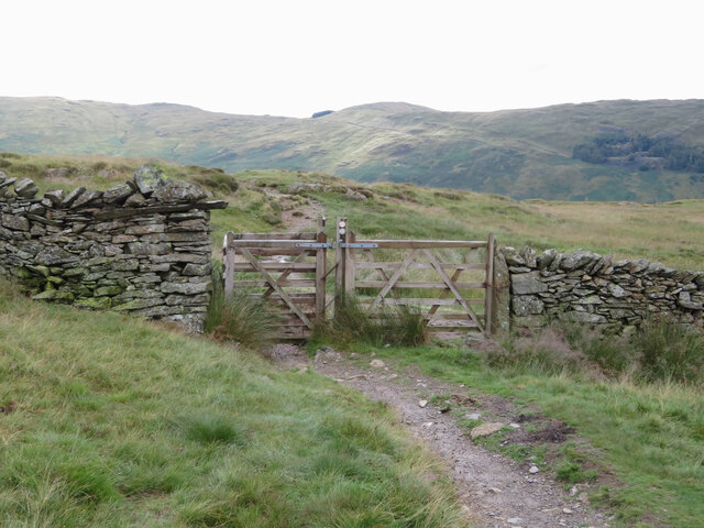
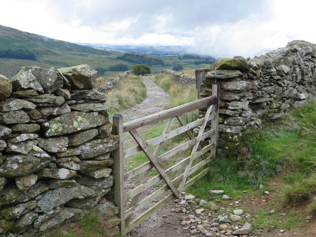
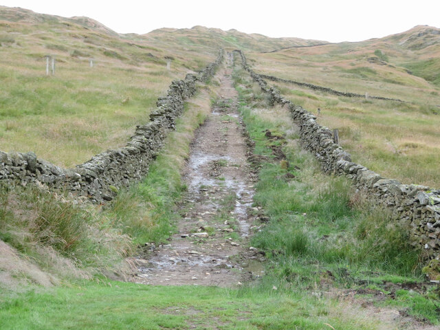
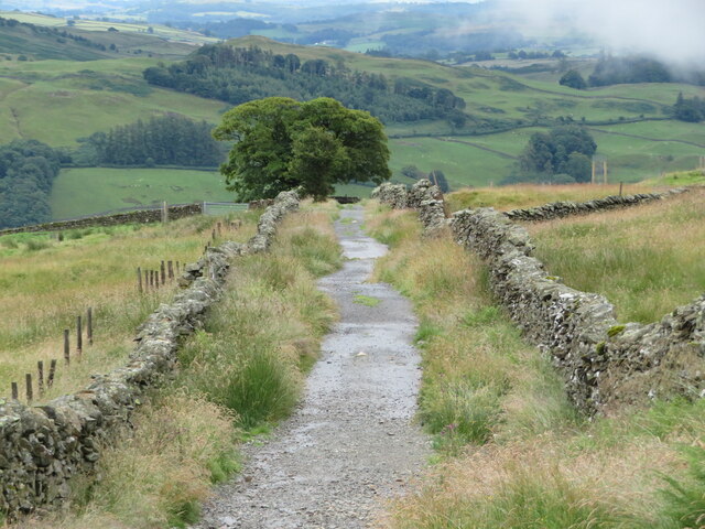
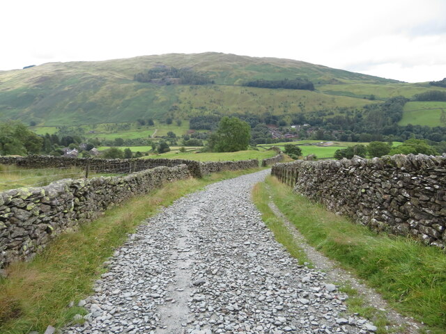
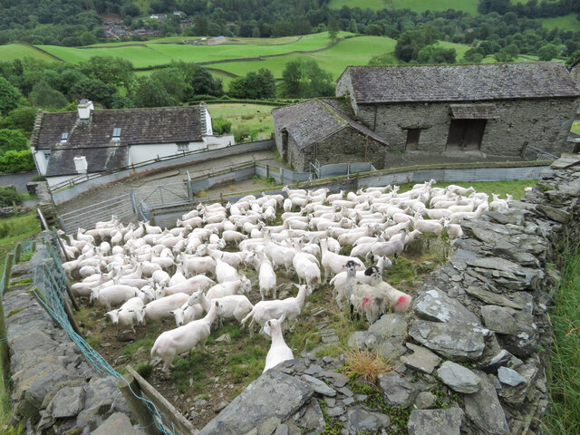
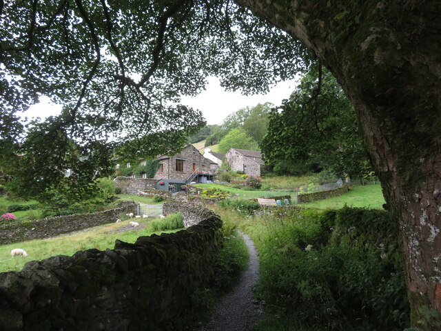
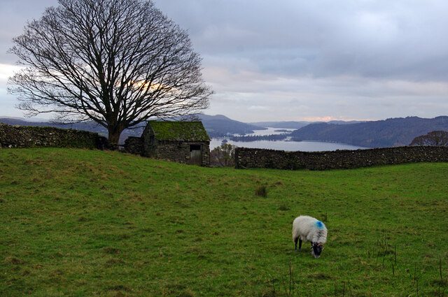
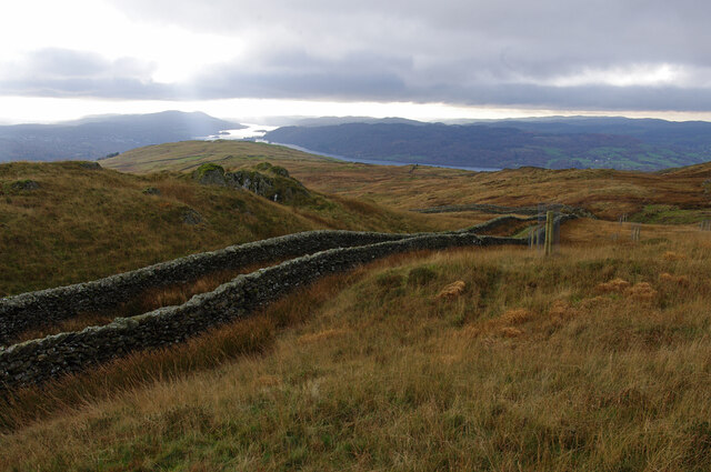
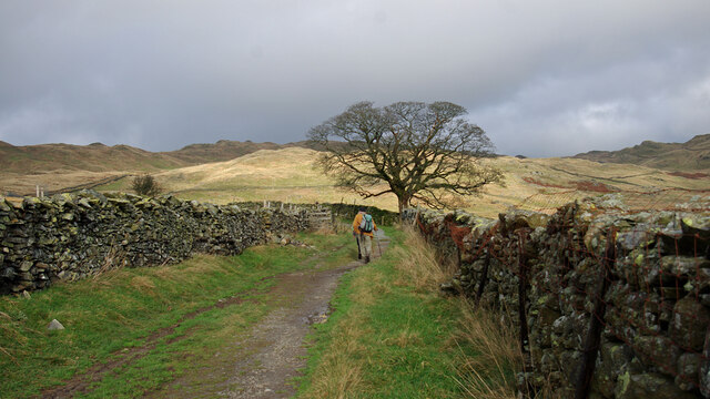
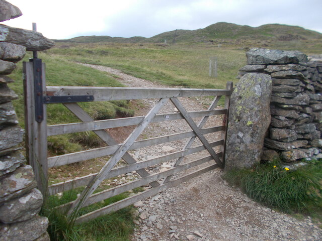
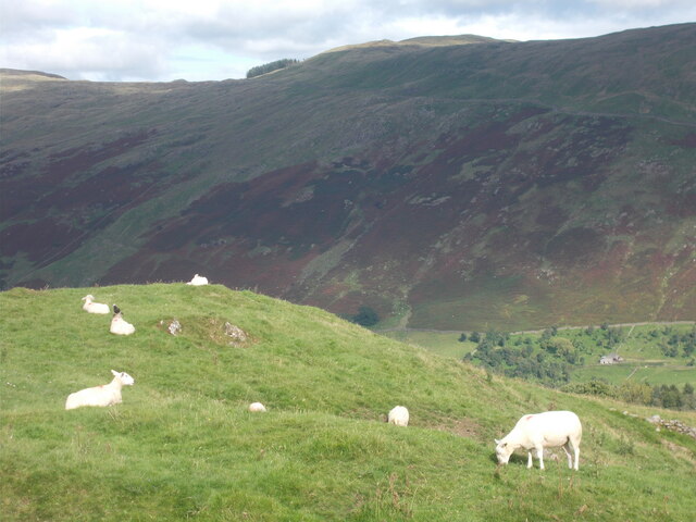
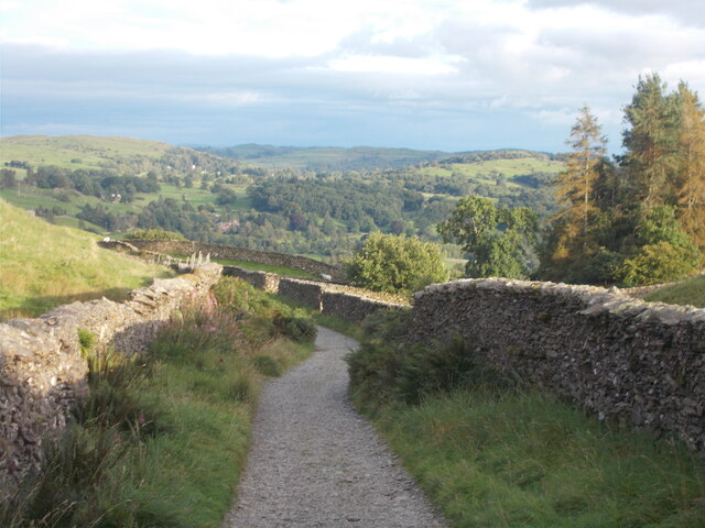
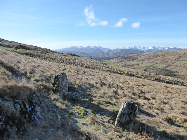
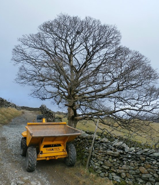
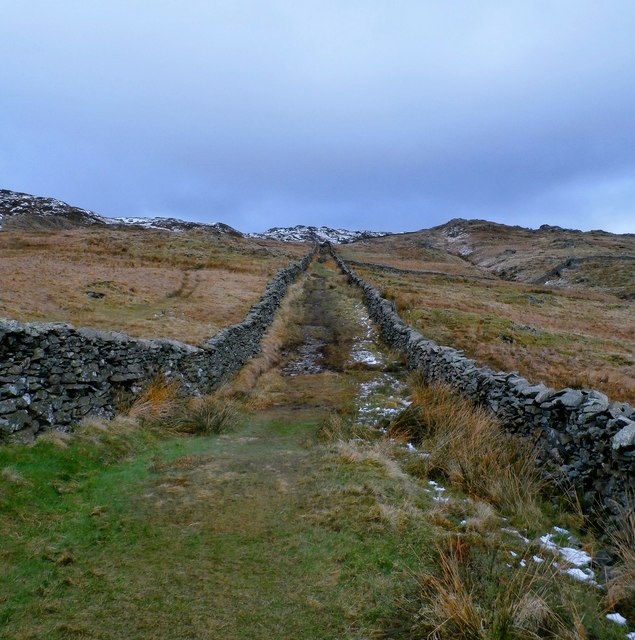
Ambleside Images

Images are sourced within 2km of 54.426/-2.939 or Grid Reference NY3903. Thanks to Geograph Open Source API. All images are credited.

A bird with its breakfast on Wansfell
Gate on Wansfell
Gate on Wansfell
Gate leading on to Nanny Lane
Nanny Lane, looking north
Nanny Lane, looking south-east
Nanny Lane, approaching Troutbeck
Sheep near Troutbeck
Footpath approaching Low Fold
Farmland by Robin Lane Field barn and grazing land above Troutbeck. Windermere is in the distance.
Farmland by Robin Lane
Field barn and grazing land above Troutbeck. Windermere is in the distance.
Nanny Lane, Wansfell On the SE flank of Wansfell, above Troutbeck. Many trees have been planted hereabouts, in scattered positions. Windermere is in the distance.
Nanny Lane, Wansfell
On the SE flank of Wansfell, above Troutbeck. Many trees have been planted hereabouts, in scattered positions. Windermere is in the distance.
Nanny Lane, Wansfell On the SE flank of Wansfell, above Troutbeck. Many trees have been planted hereabouts, in scattered positions.
Nanny Lane, Wansfell
On the SE flank of Wansfell, above Troutbeck. Many trees have been planted hereabouts, in scattered positions.
Wooden gate off Nanny Lane On the track coming down from Wansfell towards Troutbeck.
Wooden gate off Nanny Lane
On the track coming down from Wansfell towards Troutbeck.
Grazing sheep off Nanny Lane A pastoral scene above the Troutbeck valley.
Grazing sheep off Nanny Lane
A pastoral scene above the Troutbeck valley.
Robin Lane (bridleway) A view towards Allen Knott and Holehird in the distance.
Robin Lane (bridleway)
A view towards Allen Knott and Holehird in the distance.
Fellside below Baystones (Wansfell)
Drystone Wall Repairs on Nanny Lane
Nanny Lane
Nanny Lane
Show me another place!

Ambleside is located at Grid Ref: NY3903 (Lat: 54.426, Lng: -2.939)

Administrative County: Cumbria

Police Authority: Cumbria

What 3 Words

///shrub.toolbar.less. Near Ambleside, Cumbria

Nearby Locations

Ambleside

Related Wikis

Nearby Amenities

Located within 500m of 54.426,-2.939
Wansfell Pike
Ele: 482
Natural: peak
Wikidata: Q7968079
Wikipedia: en:Wansfell
Lat/Long: 54.4292585/-2.935606
Barrier: stile
Foot: yes
Material: wood
Stile: ladder
Lat/Long: 54.4267191/-2.938565
Barrier: stile
Lat/Long: 54.4276417/-2.9387864
Barrier: stile
Handrail: yes
Handrail Material: wood
Stile: steps
Lat/Long: 54.4289152/-2.9361934
Barrier: stile
Handrail: both
Handrail Material: wood
Stile: steps
Lat/Long: 54.427487/-2.9384005
Man Made: cairn
Lat/Long: 54.4245057/-2.9428829
The data included in this document is from www.openstreetmap.org. The data is made available under ODbL.

Have you been to Ambleside?

Leave your review of Ambleside below (or comments, questions and feedback).