Alavna

Heritage Site in Westmorland South Lakeland

England

Alavna

Milestone Marker 02-55 (between bridges 183-182), Lancaster Canal - Site of missing Natland Hall Milestone Of the 56 milestones on the Lancaster Canal five are missing.
This is the site of one of them.  This section of the canal has been filled in.

If the milestone was there the inscription would be 25 :: 2
It would be located 55 miles from the Centre of Preston and 2 miles from Kendal.

Any information about this milestone would be appreciated, please.
Milestone Marker 02-55 (between bridges 183-182), Lancaster Canal - Site of missing Natland Hall Milestone Credit: Cactus Chris

Alavna, located in Westmorland, is a prominent heritage site that holds great historical significance. This ancient settlement, dating back to the Roman era, was a thriving market town during the 1st and 2nd centuries AD. It is believed to have been an important trading hub in the region, serving as a crossroads between various Roman routes.

The remains of Alavna provide valuable insights into the daily life and activities of the Roman inhabitants. Excavations have revealed a well-preserved street network, showcasing the town's organized layout. The main thoroughfare, lined with shops and businesses, leads to a centrally located forum. This public square was the heart of the town, where political, social, and economic activities took place. The forum, surrounded by administrative buildings and temples, reflects the Roman architectural style and layout.

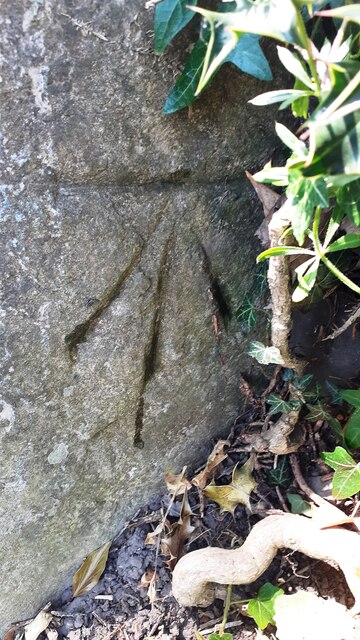
Various artifacts and structures have been discovered at the site, shedding light on the town's history. Inscriptions, pottery, coins, and other everyday objects have been unearthed, contributing to our understanding of Alavna's trade connections and cultural influences. The remains of a bathhouse, considered a symbol of Roman civilization, have also been found, further highlighting the town's prosperous past.

Today, Alavna is a popular destination for history enthusiasts and archaeologists alike. The site offers visitors a chance to explore the ancient ruins and imagine what life was like during Roman times. The heritage site is protected and maintained by local authorities, ensuring its preservation for future generations to learn from and appreciate. Alavna stands as a testament to the rich history and cultural heritage of Westmorland.

If you have any feedback on the listing, please let us know in the comments section below.
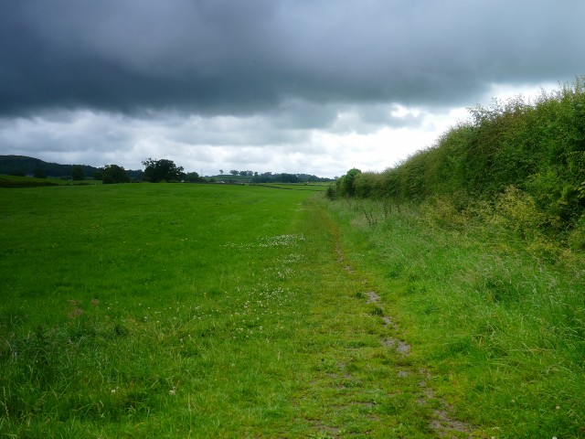
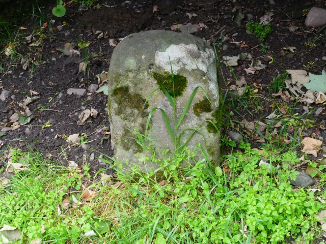
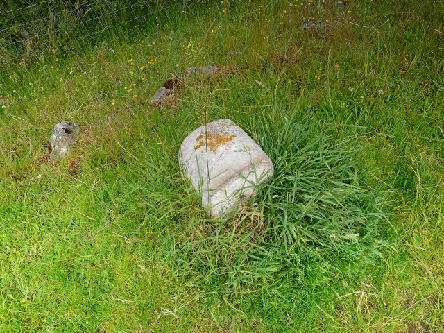
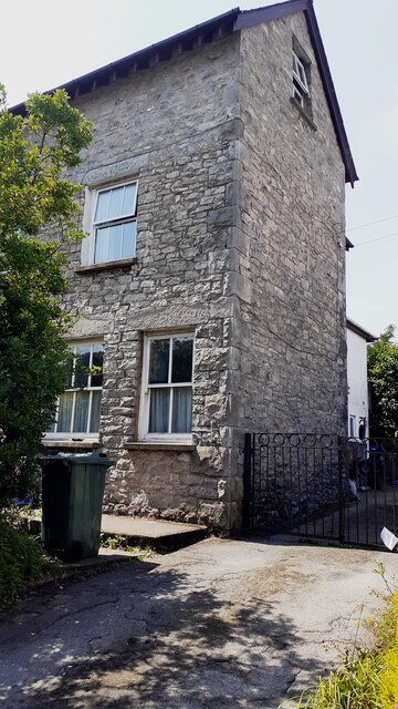
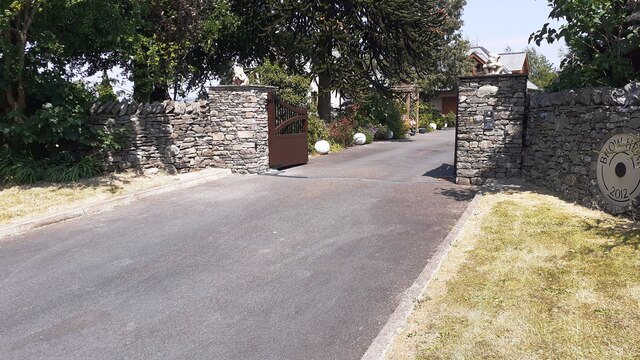
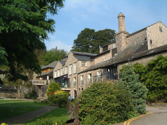
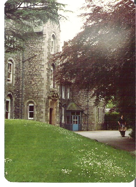
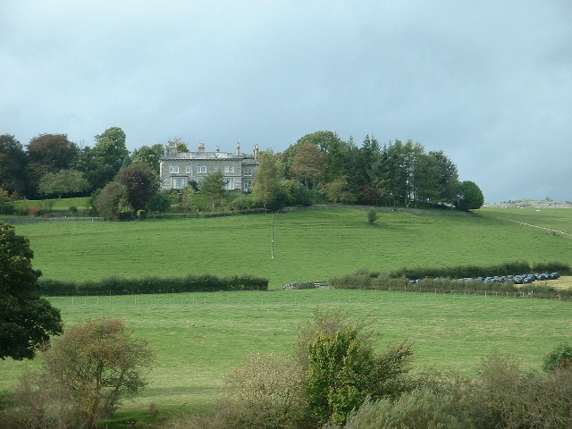
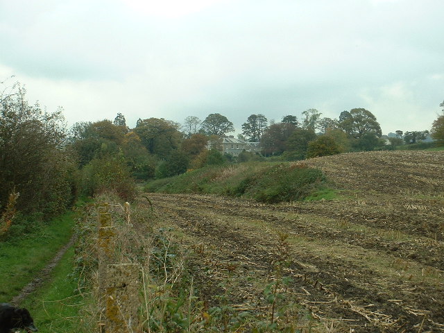
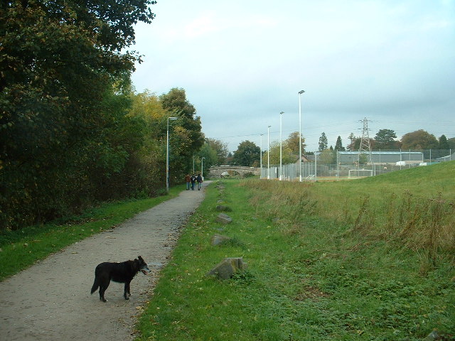
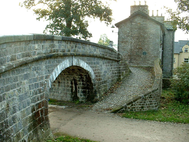
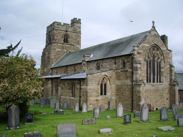
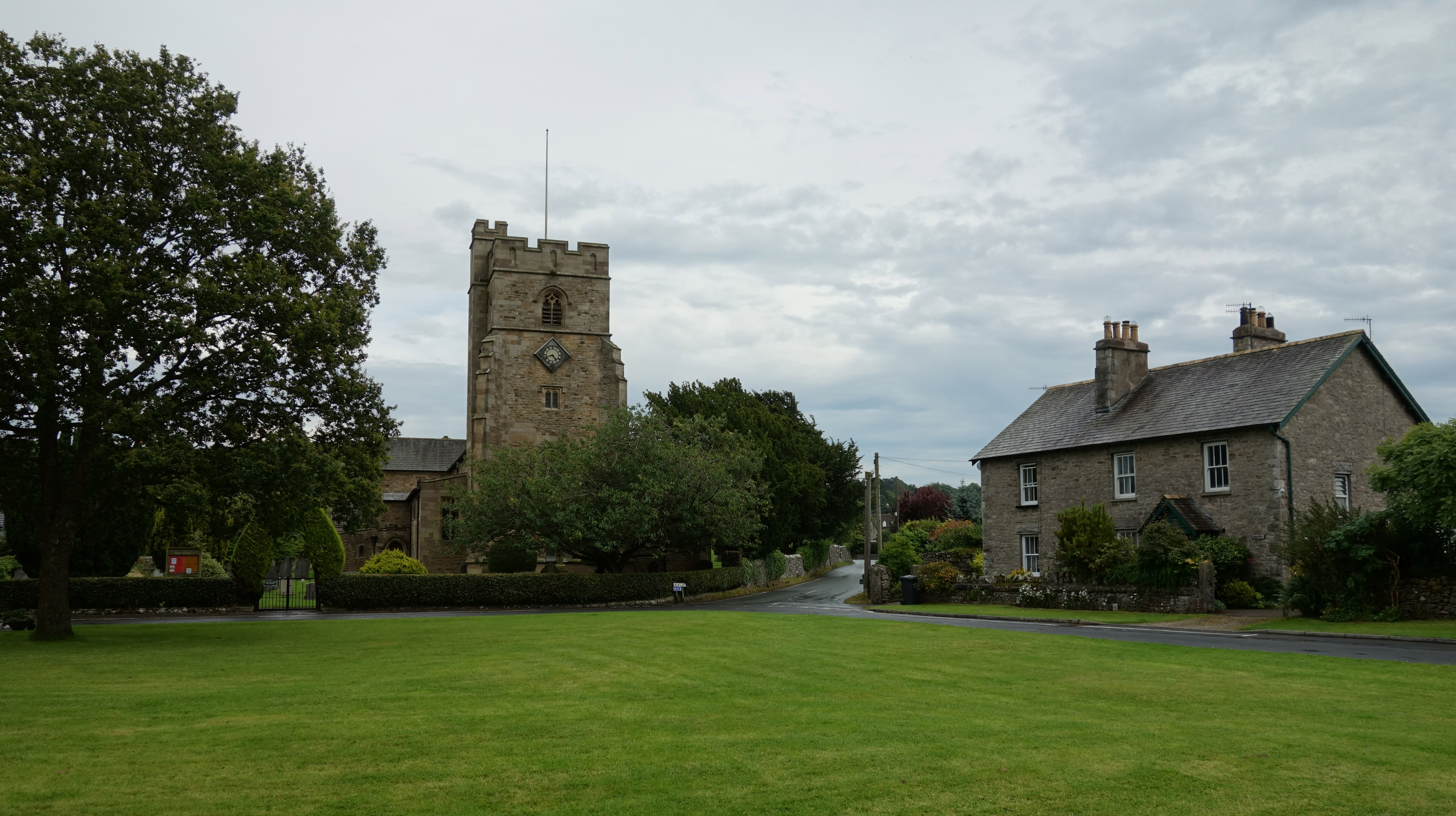
Alavna Images

Images are sourced within 2km of 54.308/-2.745 or Grid Reference SD5190. Thanks to Geograph Open Source API. All images are credited.

Milestone Marker 02-55 (between bridges 183-182), Lancaster Canal - Site of missing Natland Hall Milestone Of the 56 milestones on the Lancaster Canal five are missing.
This is the site of one of them.  This section of the canal has been filled in.

If the milestone was there the inscription would be 25 :: 2
It would be located 55 miles from the Centre of Preston and 2 miles from Kendal.

Any information about this milestone would be appreciated, please.
Milestone Marker 02-55 (between bridges 183-182), Lancaster Canal - Site of missing Natland Hall Milestone
Of the 56 milestones on the Lancaster Canal five are missing. This is the site of one of them. This section of the canal has been filled in. If the milestone was there the inscription would be 25 :: 2 It would be located 55 miles from the Centre of Preston and 2 miles from Kendal. Any information about this milestone would be appreciated, please.
Half Milestone between Milestones 02-55 and 03-54, Lancaster Canal There are at least ten stones on the upper reaches of the Lancaster Canal that are half way between two milestones. They appear to have been carved into a similar shape and size.  These have been confirmed as very likely to be half milestones by the Lancashire Canal Trust and the Milestone Society.


Approx distance to Milestone 02-55 is 0.492 miles up the canal and down the canal 0.527 miles to Milestone 03-54.

There are also winch points, but those have a different cross section and have been uploaded as winch points.

If you know of any other stones (please check my profile for those I have seen), or know more information about what they are I would be very grateful to hear from you.
Half Milestone between Milestones 02-55 and 03-54, Lancaster Canal
There are at least ten stones on the upper reaches of the Lancaster Canal that are half way between two milestones. They appear to have been carved into a similar shape and size. These have been confirmed as very likely to be half milestones by the Lancashire Canal Trust and the Milestone Society. Approx distance to Milestone 02-55 is 0.492 miles up the canal and down the canal 0.527 miles to Milestone 03-54. There are also winch points, but those have a different cross section and have been uploaded as winch points. If you know of any other stones (please check my profile for those I have seen), or know more information about what they are I would be very grateful to hear from you.
Winch point between Milestones 02-55 and 13-44, Lancaster Canal Winch point by the side of the Lancaster Canal.

If you know of any others (see my profile for those I have seen) I would be very grateful to hear from you.
Winch point between Milestones 02-55 and 13-44, Lancaster Canal
Winch point by the side of the Lancaster Canal. If you know of any others (see my profile for those I have seen) I would be very grateful to hear from you.
Benchmark on gatepost beside minor road from B6254 to The Helm Ordnance Survey cut mark benchmark levelled at 125.064m above Newlyn Datum verified 1969
Benchmark on gatepost beside minor road from B6254 to The Helm
Ordnance Survey cut mark benchmark levelled at 125.064m above Newlyn Datum verified 1969
NW side of road to The Helm at B6254 junction There is an Ordnance Survey benchmark <a href="https://www.geograph.org.uk/photo/7509072">SD5389 : Benchmark on gatepost beside minor road from B6254 to The Helm</a> on the gatepost
NW side of road to The Helm at B6254 junction
There is an Ordnance Survey benchmark SD5389 : Benchmark on gatepost beside minor road from B6254 to The Helm on the gatepost
Finger signpost on south side of B6254 opposite Station Inn
Road from The Helm to junction with B6254 opposite the Station Inn Rhododendron in flower in hedge on left hand side of the road
Road from The Helm to junction with B6254 opposite the Station Inn
Rhododendron in flower in hedge on left hand side of the road
Footpath to Natland from Burton Road (A65) The path runs beside the West Coast Main Line railway
Footpath to Natland from Burton Road (A65)
The path runs beside the West Coast Main Line railway
Benchmark on NE face of former shop Helm Garth on NW side of Helmsdale Road Ordnance Survey cut mark benchmark levelled at 94.575m above Newlyn Datum verified 1970.
Benchmark on NE face of former shop Helm Garth on NW side of Helmsdale Road
Ordnance Survey cut mark benchmark levelled at 94.575m above Newlyn Datum verified 1970.
Semi detached house (former shop) on NW side of Helmsdale Road There is an Ordnance Survey benchmark <a href="https://www.geograph.org.uk/photo/7519005">SD5289 : Benchmark on NE face of former shop Helm Garth on NW side of Helmsdale Road</a>  on the side of the house at its rear corner
Semi detached house (former shop) on NW side of Helmsdale Road
There is an Ordnance Survey benchmark SD5289 : Benchmark on NE face of former shop Helm Garth on NW side of Helmsdale Road on the side of the house at its rear corner
Entrance to Brow Head from NE side of Burton Road Ordnance Survey documents indicate that a benchmark levelled at 86.607m above Newlyn Datum was verified in 1970 on the wall  1m left of the entrance which appears to have been remodelled in 2012
Entrance to Brow Head from NE side of Burton Road
Ordnance Survey documents indicate that a benchmark levelled at 86.607m above Newlyn Datum was verified in 1970 on the wall 1m left of the entrance which appears to have been remodelled in 2012
Kendal Old Brewery Art Centre providing much culture to this historic town
Kendal
Old Brewery Art Centre providing much culture to this historic town
Former Kendal Youth Hostel - now a Nursing Home
Prizet It's a great name.....not Prizet House, or Lodge or Grange or whatever... Just straightforward, in your face, Prizet.  Great situation on a hilltop near Sedgwick.
Prizet
It's a great name.....not Prizet House, or Lodge or Grange or whatever... Just straightforward, in your face, Prizet. Great situation on a hilltop near Sedgwick.
Crowpark Bridge On the disused Lancaster Canal near Kendal. It's difficult to imagine that this 'normal' part of a farm field was once a major waterway. There is no water in the canal between Hincaster tunnel and Kendal with many sections, such as this one, completely filled in.
Crowpark Bridge
On the disused Lancaster Canal near Kendal. It's difficult to imagine that this 'normal' part of a farm field was once a major waterway. There is no water in the canal between Hincaster tunnel and Kendal with many sections, such as this one, completely filled in.
River Kent Near Kendal, with Prizet Farm and Prizet in the background
River Kent
Near Kendal, with Prizet Farm and Prizet in the background
Line of Lancaster Canal near Kendal Looking north, the line of the canal through this harvested maize field is obvious. The big house in the trees is Helme Lodge.
Line of Lancaster Canal near Kendal
Looking north, the line of the canal through this harvested maize field is obvious. The big house in the trees is Helme Lodge.
Line of Lancaster Canal in Kendal Looking north. The tall lamps illuminate an all-weather sports pitch, with shared use by local school and public.
Line of Lancaster Canal in Kendal
Looking north. The tall lamps illuminate an all-weather sports pitch, with shared use by local school and public.
Show me another place!

Alavna is located at Grid Ref: SD5190 (Lat: 54.308, Lng: -2.745)

Administrative County: Cumbria

District: South Lakeland

Police Authority: Cumbria

What 3 Words

///drew.zebra.herb. Near Kendal, Cumbria

Nearby Locations

Scroggs Wood Alavna

Related Wikis

Nearby Amenities

Located within 500m of 54.308,-2.745
Barrier: kissing_gate
Lat/Long: 54.3082323/-2.7455121
Barrier: kissing_gate
Lat/Long: 54.3093352/-2.7433168
Whitewater: put_in
Lat/Long: 54.3084756/-2.7507419
Parking
Access: permissive
Capacity: 4
Description: Permissive parking for visitors to Scroggs Wood
Fee: no
Operator: Woodland Trust
Parking: surface
Surface: unpaved
Lat/Long: 54.308447/-2.7508666
Alauna roman fort
Alt Name: Watercrook, Alavana, Alavna
Historic: archaeological_site
Historic Civilization: roman
Historic Culture: roman
Source: English Heritage
Wikidata: Q18654686
Wikipedia: en:Alavana
Lat/Long: 54.30979/-2.7485995
Barrier: stile
Source: bing
Lat/Long: 54.3060254/-2.7429387
Turning Circle
Lat/Long: 54.3116254/-2.740514
Barrier: kissing_gate
Lat/Long: 54.3111775/-2.7415552
Barrier: bollard
Lat/Long: 54.3111689/-2.7401882
Give Way
Direction: backward
Lat/Long: 54.3073478/-2.742339
Post Box
Drive Through: no
Post Box Type: lamp
Ref: LA9 166
Lat/Long: 54.311861/-2.7411125
Barrier: entrance
Source: bing
Lat/Long: 54.3040017/-2.7440216
Barrier: entrance
Source: bing
Lat/Long: 54.3056167/-2.7391934
Bench
Backrest: yes
Source: survey
Lat/Long: 54.3086633/-2.7509263
Barrier: entrance
Source: survey
Lat/Long: 54.3087737/-2.7512035
Barrier: entrance
Source: bing;survey
Lat/Long: 54.306778/-2.7458112
Give Way
Direction: forward
Lat/Long: 54.3119116/-2.7412115
Give Way
Direction: backward
Lat/Long: 54.3114619/-2.7412691
Give Way
Direction: backward
Lat/Long: 54.3117731/-2.7413926
Bench
Backrest: yes
Lat/Long: 54.3117401/-2.7408041
Grit Bin
Lat/Long: 54.3117112/-2.7407572
Give Way
Direction: backward
Lat/Long: 54.3086714/-2.7405287
Watercrook
Place: locality
Lat/Long: 54.3091766/-2.7482155
Barrier: entrance
Lat/Long: 54.3113273/-2.7410237
Barrier: entrance
Lat/Long: 54.3109868/-2.7412187
Give Way
Direction: forward
Lat/Long: 54.3085293/-2.7423754
Generator Method: photovoltaic
Generator Output Electricity: yes
Generator Source: solar
Generator Type: solar_photovoltaic_panel
Location: roof
Power: generator
Lat/Long: 54.3095873/-2.7517613
The data included in this document is from www.openstreetmap.org. The data is made available under ODbL.

Have you been to Alavna ?

Leave your review of Alavna below (or comments, questions and feedback).