Alavna Roman Fort

Heritage Site in Cumberland

England

Alavna Roman Fort

A596 at Netherhall
A596 at Netherhall Credit: Colin Pyle

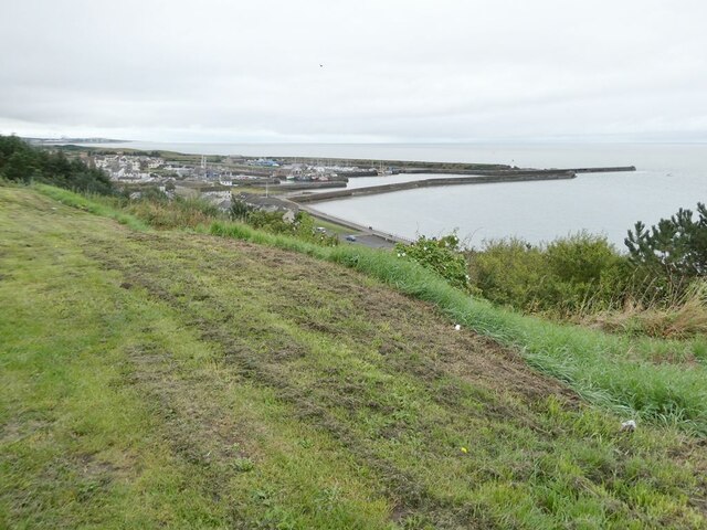
Alavna Roman Fort, located in Cumberland, England, is a significant heritage site that dates back to the Roman occupation of Britain. The fort, situated on the eastern bank of the River Irthing, was built in the 2nd century AD as part of the Roman defensive system known as the Hadrian's Wall.

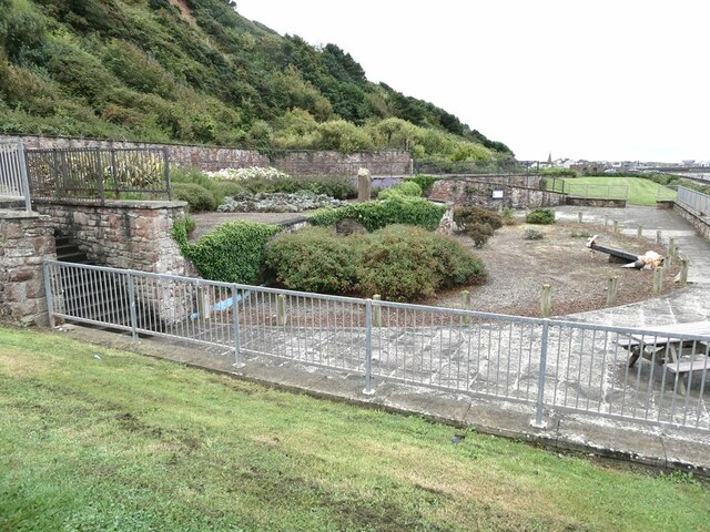
The fort is rectangular in shape, covering an area of approximately 3.4 acres, and is surrounded by a defensive wall and a ditch. It was strategically positioned to guard the River Irthing crossing and control the movement of people and goods along the wall. The fort's layout includes a central courtyard, surrounded by a series of barracks, granaries, and workshops.

Excavations at Alavna Roman Fort have revealed numerous artifacts and structures that provide insight into the daily life of Roman soldiers stationed there. These findings include military equipment such as armor, weapons, and tools, as well as personal items like pottery, jewelry, and coins. The remains of a bathhouse and a well-preserved altar dedicated to the god Mithras have also been discovered within the fort.

Visitors to Alavna Roman Fort can explore the well-preserved remains and walk along the reconstructed sections of the fort's defensive wall. Information boards and guided tours provide historical context and enhance the visitor's understanding of the fort's significance in the Roman Empire's frontier defense strategy.

Alavna Roman Fort is an essential heritage site for understanding the Roman occupation of Britain and its military infrastructure. It offers a unique opportunity to immerse oneself in the historical atmosphere of the Roman era and gain a deeper appreciation for the engineering and military prowess of the ancient Romans.

If you have any feedback on the listing, please let us know in the comments section below.

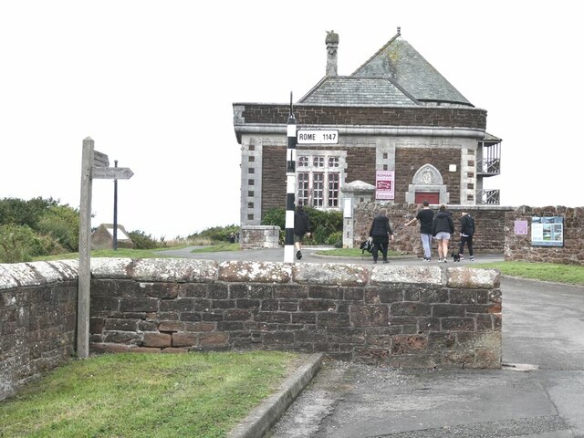
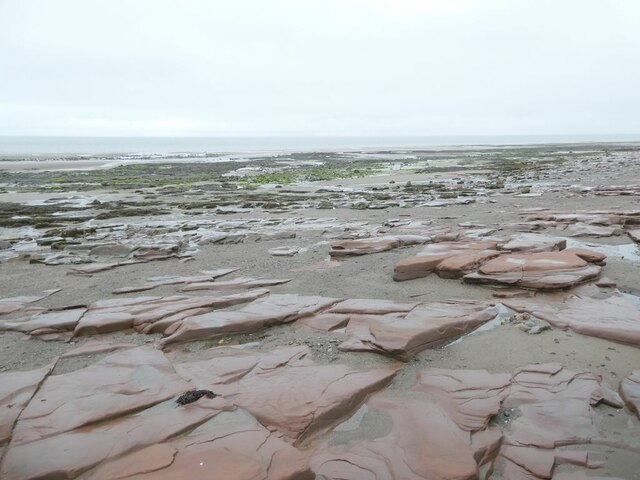
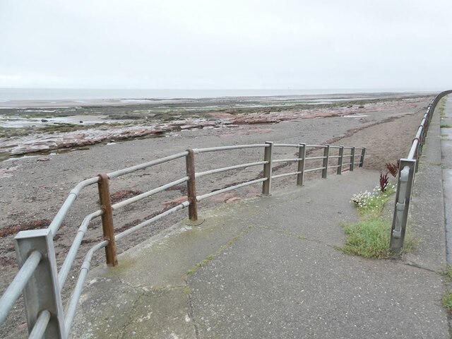
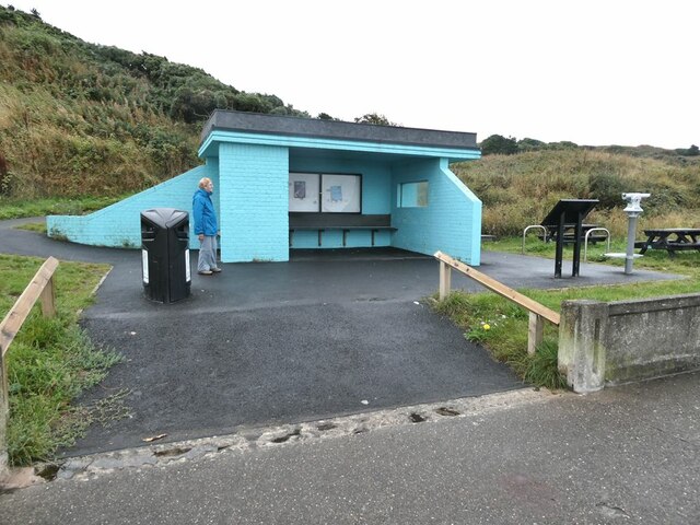
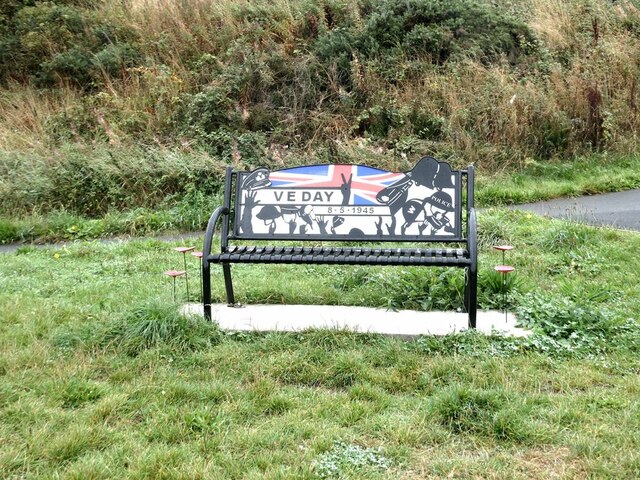
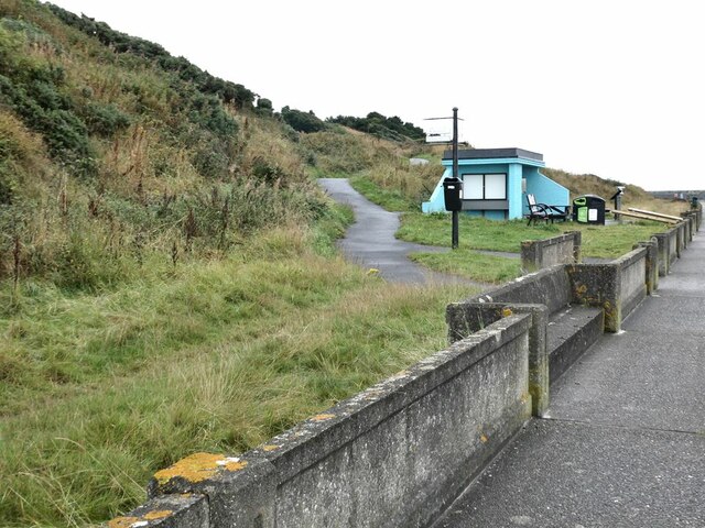
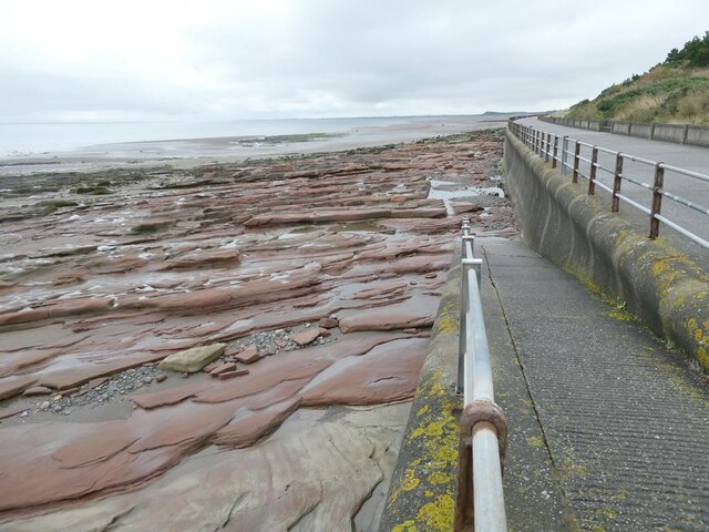
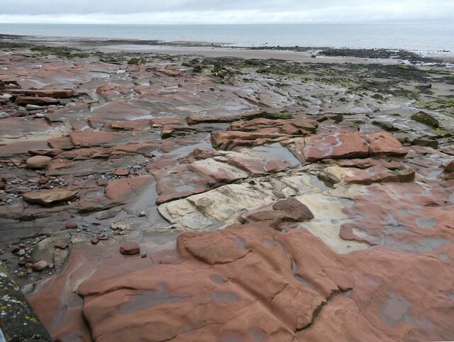
Alavna Roman Fort Images

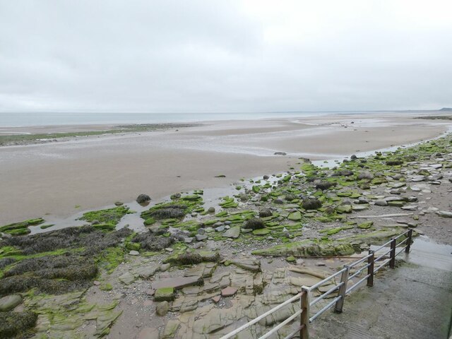
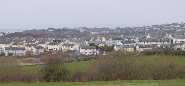
Images are sourced within 2km of 54.723/-3.498 or Grid Reference NY0337. Thanks to Geograph Open Source API. All images are credited.

A596 at Netherhall
A596 at Netherhall
B5300 at Maryport Cemetery
Fleming Square Elegant 18th Century housing in Maryport.
Fleming Square
Elegant 18th Century housing in Maryport.
Maryport Golf Course A two-day heatwave brought out masses of golfers on this seaside course.
Maryport Golf Course
A two-day heatwave brought out masses of golfers on this seaside course.
"A fishy tale" Sculpture made of haematite on the harbour wall. One of the figures is suffering the common fate of seaside sculptures - a seagull taking a rest on his head!
"A fishy tale"
Sculpture made of haematite on the harbour wall. One of the figures is suffering the common fate of seaside sculptures - a seagull taking a rest on his head!
Maryport Maritime Museum Senhouse Street climbs steeply up to the town centre.
Maryport Maritime Museum
Senhouse Street climbs steeply up to the town centre.
Top of the Fairy Path Leading from the Upper to the Lower Promenade.
Top of the Fairy Path
Leading from the Upper to the Lower Promenade.
View from the upper Promenade A good view of Maryport Harbour.
View from the upper Promenade
A good view of Maryport Harbour.
Sea Brow Gardens An attractive public garden set into the cliff face above the lower Promenade. The garden is an excellent exhibit of plants that thrive in coastal locations.
Sea Brow Gardens
An attractive public garden set into the cliff face above the lower Promenade. The garden is an excellent exhibit of plants that thrive in coastal locations.
Senhouse Museum Housing a collection of Roman remains found nearby, including a large selection of Roman altars. Note the signpost!
Senhouse Museum
Housing a collection of Roman remains found nearby, including a large selection of Roman altars. Note the signpost!
Beach north of Maryport A substantial exposure of New Red Sandstone.
Beach north of Maryport
A substantial exposure of New Red Sandstone.
Ramp down to the beach Off the lower Promenade.
Ramp down to the beach
Off the lower Promenade.
Shelter on the lower Promenade
Commemorative bench by the lower Promenade
Shelter by the lower Promenade The path to the left leads up the cliff to the Stenhouse Museum.
Shelter by the lower Promenade
The path to the left leads up the cliff to the Stenhouse Museum.
Ramp down to the beach A substantial exposure of New Red Sandstone. The headland on the horizon is Swarthy Hill <a href="https://www.geograph.org.uk/gridref/NY0539">NY0539</a>.
Ramp down to the beach
A substantial exposure of New Red Sandstone. The headland on the horizon is Swarthy Hill NY0539.
Coastal rocks below the lower Promenade A substantial exposure of New Red Sandstone.
Coastal rocks below the lower Promenade
A substantial exposure of New Red Sandstone.
Beach below the lower Promenade The headland on the horizon is Swarthy Hill <a href="https://www.geograph.org.uk/gridref/NY0539">NY0539</a>.
Beach below the lower Promenade
The headland on the horizon is Swarthy Hill NY0539.
Show me another place!

Alavna Roman Fort is located at Grid Ref: NY0337 (Lat: 54.723, Lng: -3.498)

What 3 Words

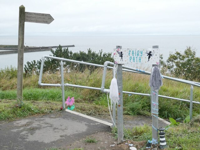
///cove.importers.final. Near Maryport, Cumbria

Nearby Locations

Alavna Roman Fort

Related Wikis

Alauna (Maryport)

Alauna was a castrum or fort in the Roman province of Britannia. It occupied a coastal site just north of the town of Maryport in the English county of...

Netherhall School, Maryport

Netherhall School is a secondary school in Maryport, Cumbria. Built in the 1950s, it has a catchment area that covers Maryport, Allerby, Bullgill, Crosby...

River Ellen

The Ellen is a river in the English county of Cumbria, flowing from Skiddaw in the Northern Fells to the Solway Firth at Maryport. It was historically...

Milefortlet 23

Milefortlet 23 (Sea Brows) was a Milefortlet of the Roman Cumbrian Coast defences. These milefortlets and intervening stone watchtowers extended from the...
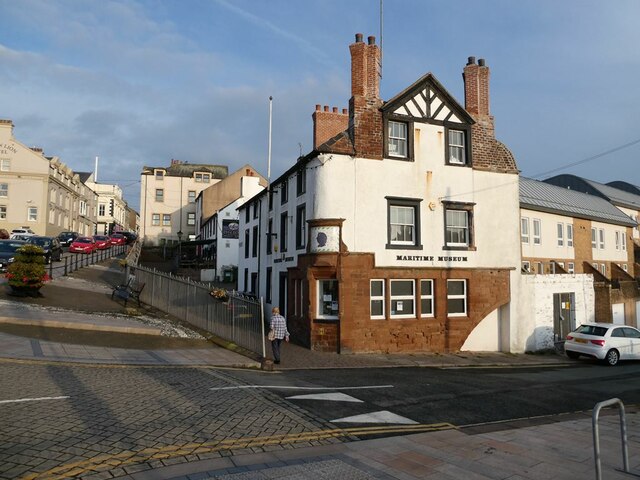
Maryport

Maryport is a town and civil parish in Cumbria, England. The town is situated just outside the Lake District National Park, at the northern end of the...

Maryport railway station

Maryport railway station is a railway station serving the coastal town of Maryport in Cumbria, England. It is on the Cumbrian Coast Line, which runs between...

Ellenborough, Cumbria

Ellenborough is a suburb of the town of Maryport, Cumbria, England, historically within Cumberland. It takes its name from the nearby River Ellen. The...

Ewanrigg

Ewanrigg is a suburb of the town of Maryport, Cumbria, England, historically within Cumberland. Ewanrigg is a residential area and has a post office, a...

Nearby Amenities

Located within 500m of 54.723,-3.498
Source: survey
Lat/Long: 54.7205971/-3.4921353
Bench
Backrest: yes
Lat/Long: 54.7190955/-3.4969021
Entrance: yes
Lat/Long: 54.7212571/-3.4955885
Man Made: tower
Tower Type: observation
Lat/Long: 54.7214234/-3.4954222
Post Box
Ref: CA15 45
Lat/Long: 54.719221/-3.4942387
Bench
Backrest: yes
Lat/Long: 54.7198753/-3.4967852
Barrier: cycle_barrier
Lat/Long: 54.7206511/-3.496001
Information: guidepost
Tourism: information
Lat/Long: 54.7206115/-3.4921903
Bench
Backrest: yes
Lat/Long: 54.7245038/-3.4930105
Barrier: cycle_barrier
Motor Vehicle: no
Lat/Long: 54.724477/-3.4932442
Bench
Backrest: yes
Lat/Long: 54.7243204/-3.4933261
Bench
Backrest: yes
Lat/Long: 54.7226096/-3.494864
Bench
Backrest: yes
Lat/Long: 54.7219475/-3.4953868
Information: guidepost
Tourism: information
Lat/Long: 54.719699/-3.493552
Noexit: yes
Lat/Long: 54.7225279/-3.4961193
The data included in this document is from www.openstreetmap.org. The data is made available under ODbL.

Have you been to Alavna Roman Fort?

Leave your review of Alavna Roman Fort below (or comments, questions and feedback).