Aithernie Castle

Heritage Site in Fife

Scotland

Aithernie Castle

Farmland by Pilmuir Looking North towards Pilmuir Farm
Farmland by Pilmuir Credit: Jim Bain

Aithernie Castle, located in Fife, Scotland, is a historic heritage site that dates back to the 16th century. This well-preserved castle is situated near the village of Aberdour, overlooking the Firth of Forth.

Built on the site of an earlier tower house, Aithernie Castle was constructed as a fortified mansion by the Aberdour family. The castle consists of a rectangular tower house with a courtyard, surrounded by a curtain wall. It was designed to serve both defensive and residential purposes, showcasing a blend of architectural styles including medieval, Renaissance, and Jacobean elements.

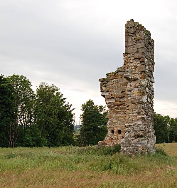
The castle features a three-story tower with a steep-pitched roof and crow-step gables. The interior of the castle is notable for its ornate plasterwork, intricate wood carvings, and painted ceilings, which reflect the wealth and status of its former owners. The ground floor contains a vaulted basement and a large kitchen, while the upper floors comprise living quarters and bedrooms.

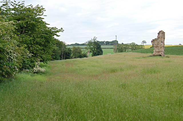
Throughout its history, Aithernie Castle has witnessed several renovations and alterations. Notably, in the late 17th century, the castle was extended with the addition of a southern wing, providing more accommodation space. However, by the 19th century, the castle fell into disrepair and was largely abandoned.

In the present day, Aithernie Castle is a Scheduled Ancient Monument and is managed by Historic Environment Scotland. It is open to the public, allowing visitors to explore its atmospheric ruins, appreciate its architectural features, and learn about the castle's rich history as a significant stronghold in Fife.

If you have any feedback on the listing, please let us know in the comments section below.

Aithernie Castle Images

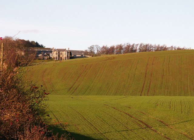
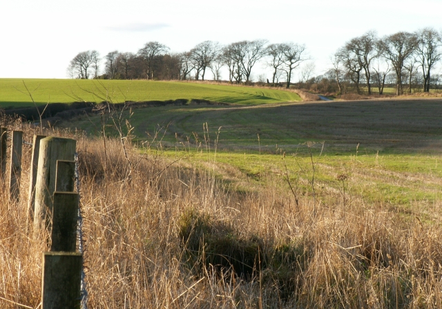
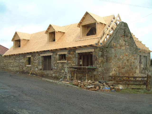
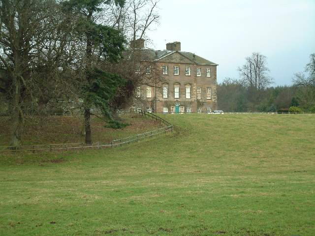
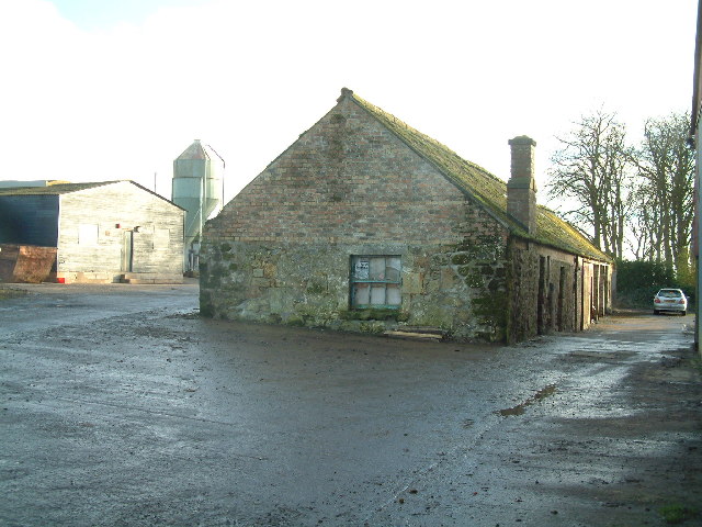
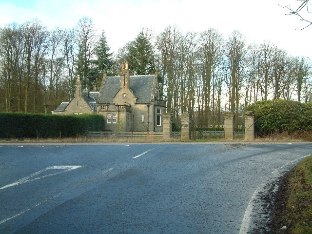
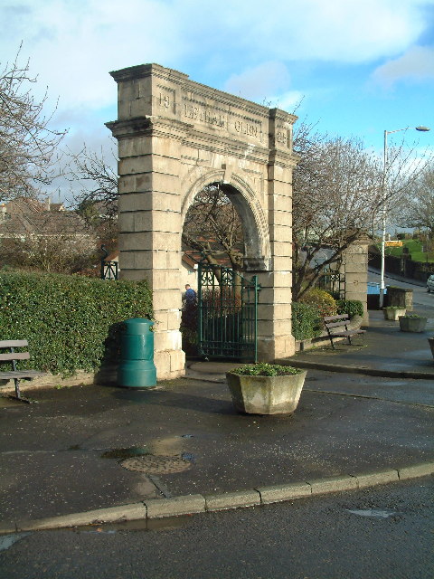
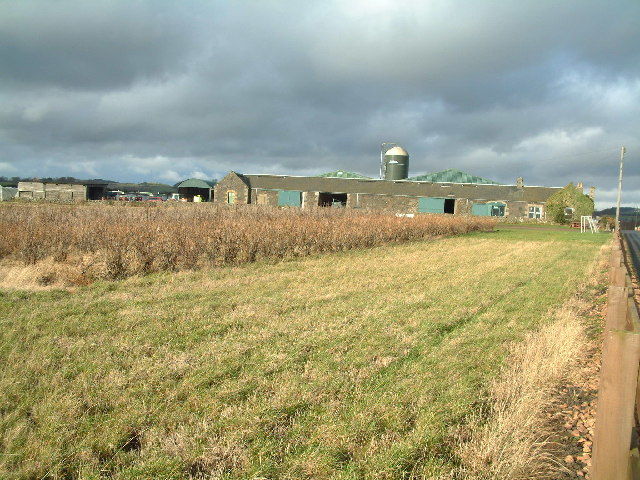
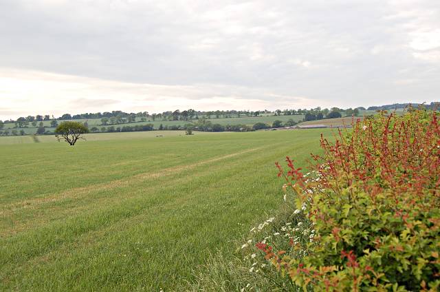
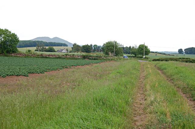
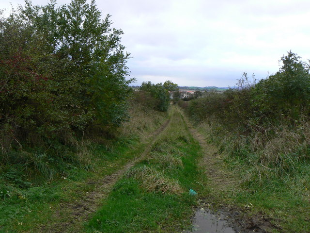
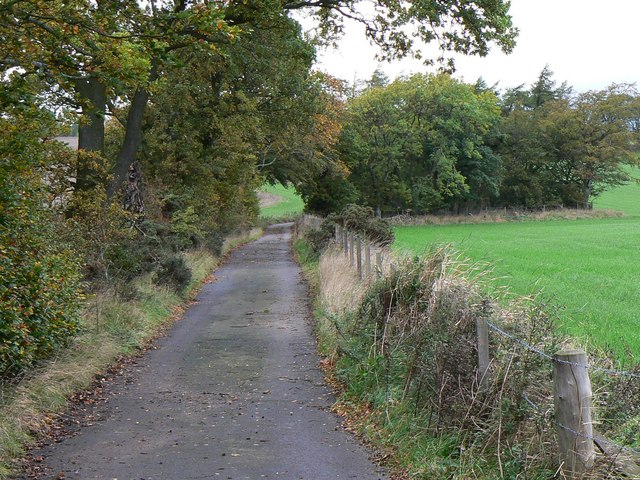
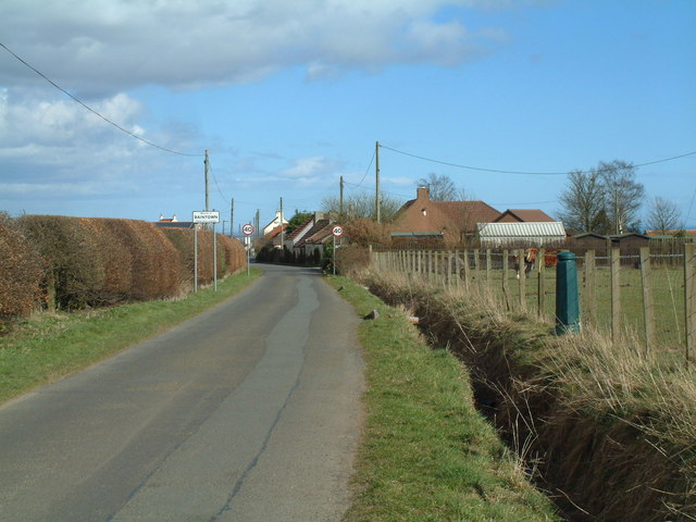
Images are sourced within 2km of 56.22/-3.008 or Grid Reference NO3703. Thanks to Geograph Open Source API. All images are credited.

Farmland by Pilmuir Looking North towards Pilmuir Farm
Farmland by Pilmuir
Looking North towards Pilmuir Farm
Farmland by Thomsford. The minor road from Thomsford to Letham crosses this square in an East/West direction. Looking West from the centre of the square.
Farmland by Thomsford.
The minor road from Thomsford to Letham crosses this square in an East/West direction. Looking West from the centre of the square.
New roof on old walls Refurbishment of old farm buildings at West Durie to turn them into residential properties
New roof on old walls
Refurbishment of old farm buildings at West Durie to turn them into residential properties
Durie House
Durie House
Letham Farm Old building among new farm buildings
Letham Farm
Old building among new farm buildings
Gatehouse of Montrave Estate
Entrance arch to Letham Glen Imposing entrance to public park
Entrance arch to Letham Glen
Imposing entrance to public park
Blacketyside Farm Shop
Naked polytunnels Protective plastic sheeting has been rolled back off the hoops around the fruit canes
Naked polytunnels
Protective plastic sheeting has been rolled back off the hoops around the fruit canes
Nether Pratis Farm
Nether Pratis Farm
Letham Feus Holiday Camp A caravan site north-east of Bennybank
Letham Feus Holiday Camp
A caravan site north-east of Bennybank
Kilmux Farm Viewed from the north-east
Kilmux Farm
Viewed from the north-east
By Nether Pratis Looking north towards Nether Pratis Farm
By Nether Pratis
Looking north towards Nether Pratis Farm
Aithernie Castle Aithernie Castle near Leven. Not much of it left now.
Aithernie Castle
Aithernie Castle near Leven. Not much of it left now.
Aithernie Castle Aithernie Castle near Leven. Not much of it left now.
Aithernie Castle
Aithernie Castle near Leven. Not much of it left now.
By Bankhead Farm Looking towards Bankhead Farm from by Aithernie Castle. The B927 runs left to right across the middle distance.
By Bankhead Farm
Looking towards Bankhead Farm from by Aithernie Castle. The B927 runs left to right across the middle distance.
Drummaird track Track linking Drummaird farm and Bonnybank village.
Drummaird track
Track linking Drummaird farm and Bonnybank village.
Towards St Brendan's Well Road leading from Toddy Bridge to Whalleyden and St Brendan's Well
Towards St Brendan's Well
Road leading from Toddy Bridge to Whalleyden and St Brendan's Well
Show me another place!

Aithernie Castle is located at Grid Ref: NO3703 (Lat: 56.22, Lng: -3.008)

Unitary Authority: Fife

What 3 Words

///spinners.empires.evolving. Near Leven, Fife

Nearby Locations

Aithernie Castle

Related Wikis

Nearby Amenities

Located within 500m of 56.22,-3.008
Aithernie Castle
Historic: ruins
Lat/Long: 56.2206346/-3.0013687
Power: pole
Lat/Long: 56.2171058/-3.009003
Power: pole
Lat/Long: 56.2165817/-3.0080974
Power: pole
Lat/Long: 56.2160687/-3.0072149
Power: pole
Lat/Long: 56.2168069/-3.0035699
Power: pole
Lat/Long: 56.2228736/-3.001931
Power: pole
Lat/Long: 56.2220833/-3.0023642
Power: pole
Lat/Long: 56.2212885/-3.0028188
Power: pole
Lat/Long: 56.2193602/-3.0019981
Power: pole
Lat/Long: 56.2178256/-3.0013544
Power: pole
Lat/Long: 56.2222954/-3.0148634
Power: pole
Lat/Long: 56.2217456/-3.0141328
Power: pole
Lat/Long: 56.2211874/-3.0134175
Power: pole
Lat/Long: 56.220431/-3.01292
Power: pole
Lat/Long: 56.2197286/-3.0124506
Power: pole
Lat/Long: 56.2191044/-3.012066
Power: pole
Lat/Long: 56.2187622/-3.0118739
Power: pole
Lat/Long: 56.2182039/-3.010903
Power: pole
Lat/Long: 56.2176602/-3.0099667
Power: pole
Lat/Long: 56.2174571/-3.0038124
Power: pole
Lat/Long: 56.2181498/-3.0040814
Power: pole
Lat/Long: 56.2188111/-3.004322
Power: pole
Lat/Long: 56.2194762/-3.0045698
Power: pole
Lat/Long: 56.2201466/-3.0048066
Power: pole
Lat/Long: 56.2207411/-3.0050062
Power: pole
Lat/Long: 56.2218953/-3.0054246
Power: pole
Lat/Long: 56.2213227/-3.0052154
Power: pole
Lat/Long: 56.2225783/-3.0056553
Power: pole
Lat/Long: 56.2231853/-3.0058806
Power: pole
Lat/Long: 56.2237864/-3.0061748
Power: pole
Lat/Long: 56.2243809/-3.0064316
Power: pole
Lat/Long: 56.221289/-3.0004136
Power: pole
Lat/Long: 56.2212709/-3.0014308
Power: pole
Lat/Long: 56.2212473/-3.0028979
Power: pole
Lat/Long: 56.2207673/-3.0037286
Power: pole
Lat/Long: 56.2202739/-3.0045918
Power: pole
Lat/Long: 56.2228694/-3.0080582
Power: pole
Lat/Long: 56.2229971/-3.0069973
The data included in this document is from www.openstreetmap.org. The data is made available under ODbL.

Have you been to Aithernie Castle?

Leave your review of Aithernie Castle below (or comments, questions and feedback).