Aismunderby Village
Heritage Site in Yorkshire Harrogate
England
Aismunderby Village
Aismunderby Village, located in the picturesque region of Yorkshire, is a renowned heritage site that dates back to medieval times. Nestled amidst rolling hills and charming countryside, this village has a rich history that attracts tourists and history enthusiasts from around the world.
The village is characterized by its well-preserved medieval architecture, with many of its buildings and structures dating back to the 12th and 13th centuries. The centerpiece of Aismunderby Village is the St. Andrew's Church, a stunning example of Norman architecture with its imposing tower and intricate stone carvings. The church, which is still in use today, provides a glimpse into the religious practices and architectural styles of the medieval period.
Visitors can explore the narrow, cobbled streets of the village, which are lined with quaint cottages and traditional shops. These buildings have been carefully restored to maintain their original charm and provide an authentic experience of medieval village life. The local pub, The Ye Olde Inn, is a popular spot for both locals and visitors, offering traditional Yorkshire cuisine and a warm, welcoming atmosphere.
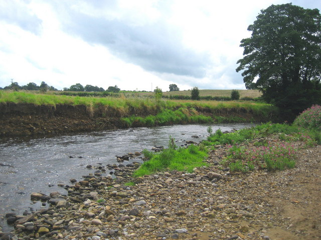
Surrounded by lush green fields and meandering streams, Aismunderby Village also boasts scenic walking trails that offer breathtaking views of the countryside. These trails allow visitors to immerse themselves in the natural beauty of Yorkshire while discovering the historical significance of the area.
Overall, Aismunderby Village is a captivating heritage site that transports visitors back in time, offering a glimpse into the medieval period and the rural charm of Yorkshire. Its well-preserved architecture, scenic surroundings, and rich history make it a must-visit destination for anyone interested in exploring England's heritage.
If you have any feedback on the listing, please let us know in the comments section below.
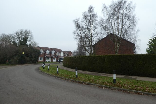
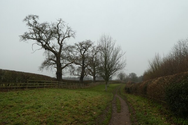
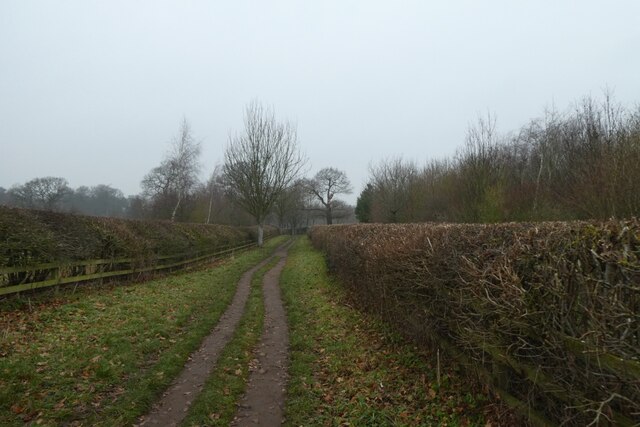
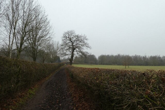
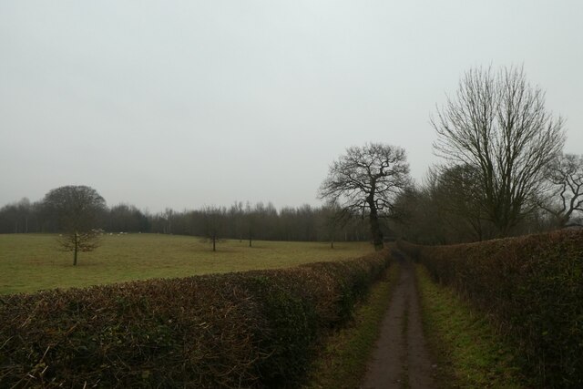
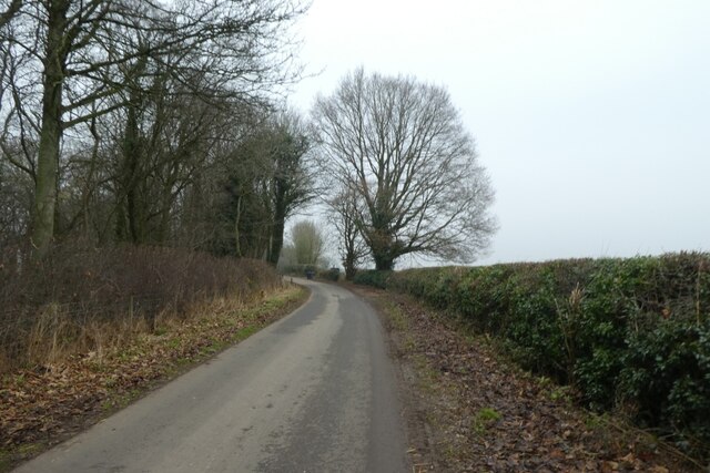
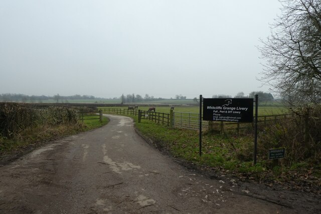
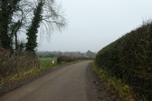
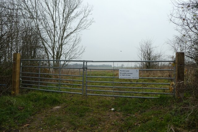
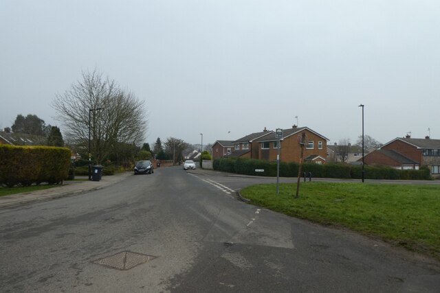
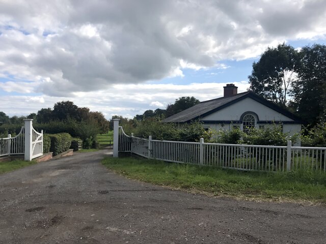
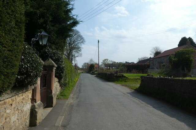
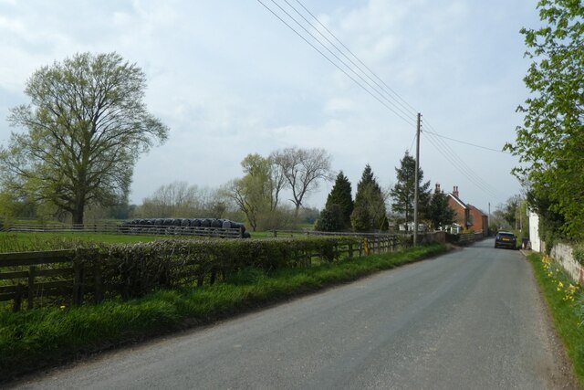
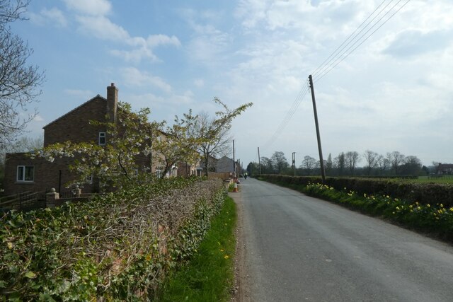
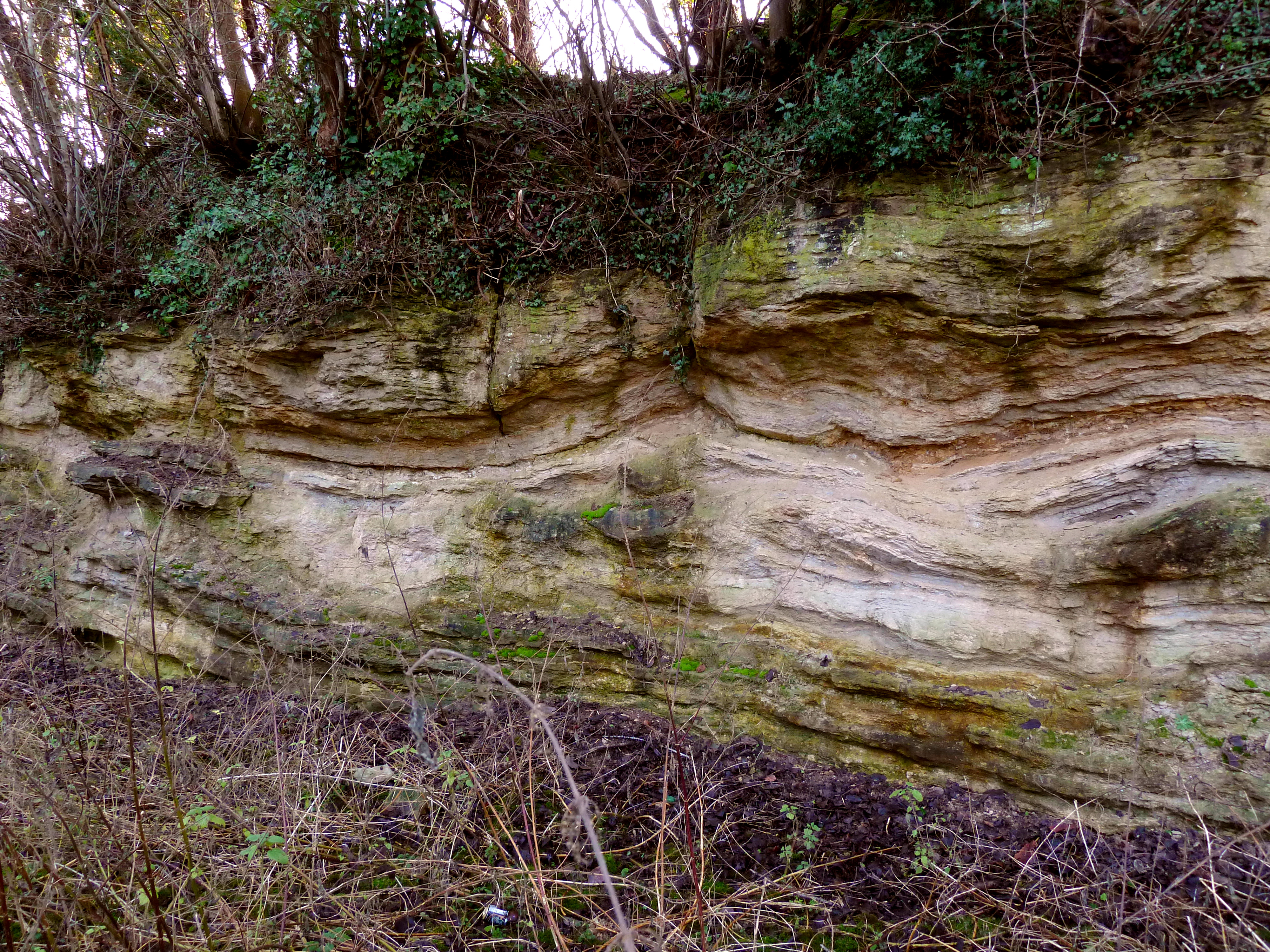
Aismunderby Village Images
Images are sourced within 2km of 54.112/-1.533 or Grid Reference SE3068. Thanks to Geograph Open Source API. All images are credited.
Aismunderby Village is located at Grid Ref: SE3068 (Lat: 54.112, Lng: -1.533)
Division: West Riding
Administrative County: North Yorkshire
District: Harrogate
Police Authority: North Yorkshire
What 3 Words
///servants.elevator.tabs. Near Ripon, North Yorkshire
Nearby Locations
Related Wikis
Quarry Moor
Quarry Moor is a Site of Special Scientific Interest, or SSSI, at the south edge of Ripon, North Yorkshire, England, and adjacent to the A61 road. It contains...

Studley Roger
Studley Roger is a small village and civil parish in the Harrogate district of North Yorkshire, England, and it is about 1 mile west of the historical...
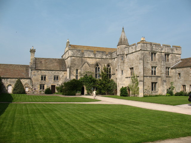
Markenfield Hall
Markenfield Hall is an early 14th-century moated manor house about 3 miles (5 km) south of Ripon, North Yorkshire, England. It is in the civil parish of...

Littlethorpe, North Yorkshire
Littlethorpe is a village and civil parish in the Harrogate district, in the English county of North Yorkshire, near the city of Ripon. Littlethorpe has...
River Laver
The River Laver is a tributary of the River Skell, itself a tributary of the River Ure in North Yorkshire, England. The name is of Brittonic origin, from...

Ripon Canal
The Ripon Canal is located in North Yorkshire, England. It was built by the canal engineer William Jessop to link the city of Ripon with the navigable...
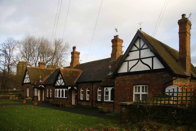
St John's Almshouses, Ripon
St John’s Almshouses (formally the Hospital of St John the Baptist) are Grade II listed Almshouses in Ripon, North Yorkshire, England. == History == The...

Ripon Racecourse
Ripon Racecourse is a thoroughbred horse racing venue located in Ripon, North Yorkshire, England and is nicknamed the Garden Racecourse. == History... ==
Nearby Amenities
Located within 500m of 54.112,-1.533Have you been to Aismunderby Village?
Leave your review of Aismunderby Village below (or comments, questions and feedback).