Aberglaslyn and Beddgelert
Heritage Site in Caernarfonshire
Wales
Aberglaslyn and Beddgelert
Aberglaslyn and Beddgelert, located in Caernarfonshire, Wales, is a picturesque heritage site known for its natural beauty and rich history. Nestled in Snowdonia National Park, the area is a popular destination for nature enthusiasts and history buffs alike.
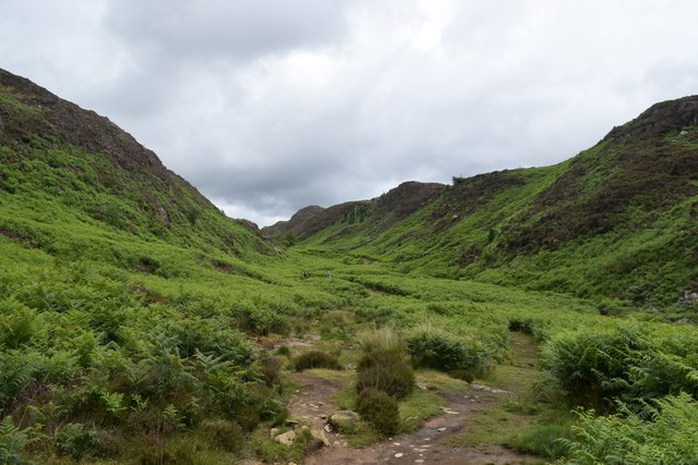
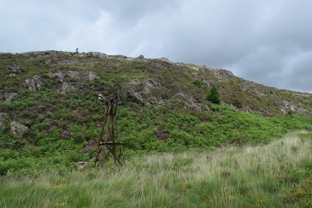
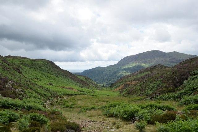
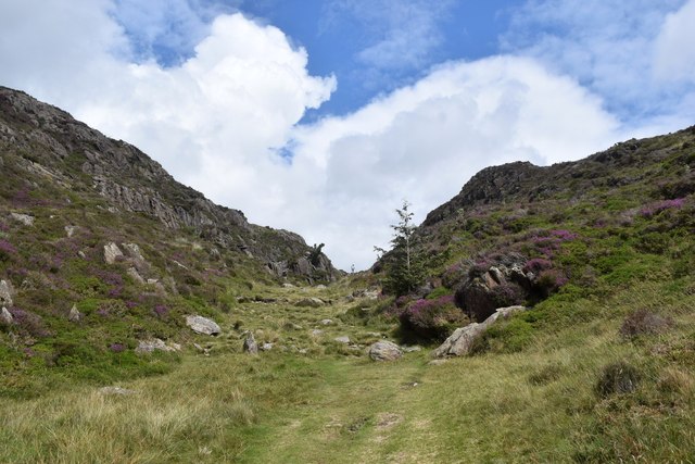
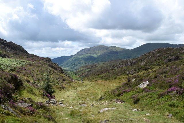
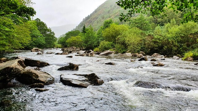
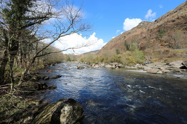
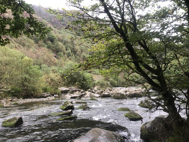
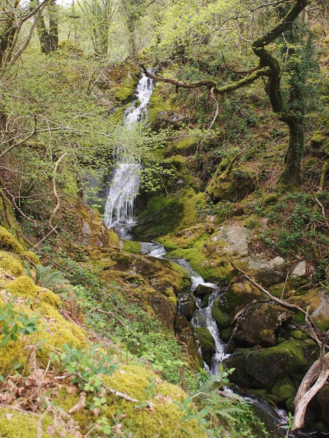
Aberglaslyn is a stunning river valley that stretches from the village of Beddgelert to the town of Porthmadog. The valley is characterized by its dramatic scenery, with steep cliffs, dense woodlands, and the rushing waters of the Glaslyn River. It offers breathtaking views and numerous walking trails for visitors to explore, allowing them to immerse themselves in the tranquility of the Welsh countryside.
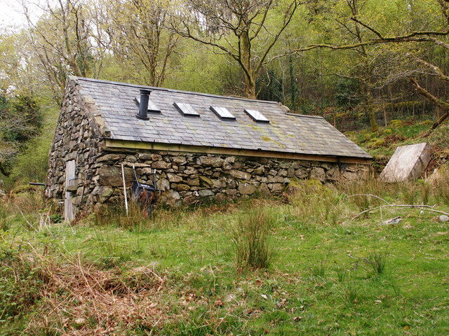
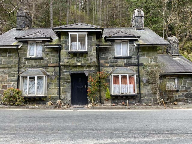
Beddgelert, a charming village situated within the Aberglaslyn Pass, is steeped in legend and folklore. It is believed to be the final resting place of Gelert, the faithful hound of Prince Llywelyn the Great. A monument dedicated to Gelert can be found in the village, adding to its allure and attracting curious visitors. Beddgelert also boasts a number of historic buildings, including traditional Welsh stone cottages and a 14th-century church, adding to its timeless appeal.
The heritage site of Aberglaslyn and Beddgelert offers a unique blend of natural beauty and historical significance. Visitors can enjoy scenic walks, take part in outdoor activities such as fishing and birdwatching, or simply relax and soak in the stunning surroundings. With its rich history and breathtaking landscapes, Aberglaslyn and Beddgelert are truly a treasure in Caernarfonshire.
If you have any feedback on the listing, please let us know in the comments section below.
Aberglaslyn and Beddgelert Images
Images are sourced within 2km of 53/-4.101 or Grid Reference SH5946. Thanks to Geograph Open Source API. All images are credited.


Aberglaslyn and Beddgelert is located at Grid Ref: SH5946 (Lat: 53, Lng: -4.101)
Unitary Authority: Gwynedd
Police Authority: North Wales
What 3 Words
///cracks.wreck.intro. Near Penrhyndeudraeth, Gwynedd
Nearby Locations
Related Wikis

Aberglaslyn Pass
The Aberglaslyn Pass (Welsh: Bwlch Aberglaslyn) is a narrow gorge of considerable beauty in Snowdonia, Gwynedd, north Wales. The A498 road/A4085 road follows...

Pont Aberglaslyn
Pont Aberglaslyn is a stone arch bridge over the Afon Glaslyn and the surrounding hamlet, located near Beddgelert and Nantmor in Gwynedd, north-west Wales...
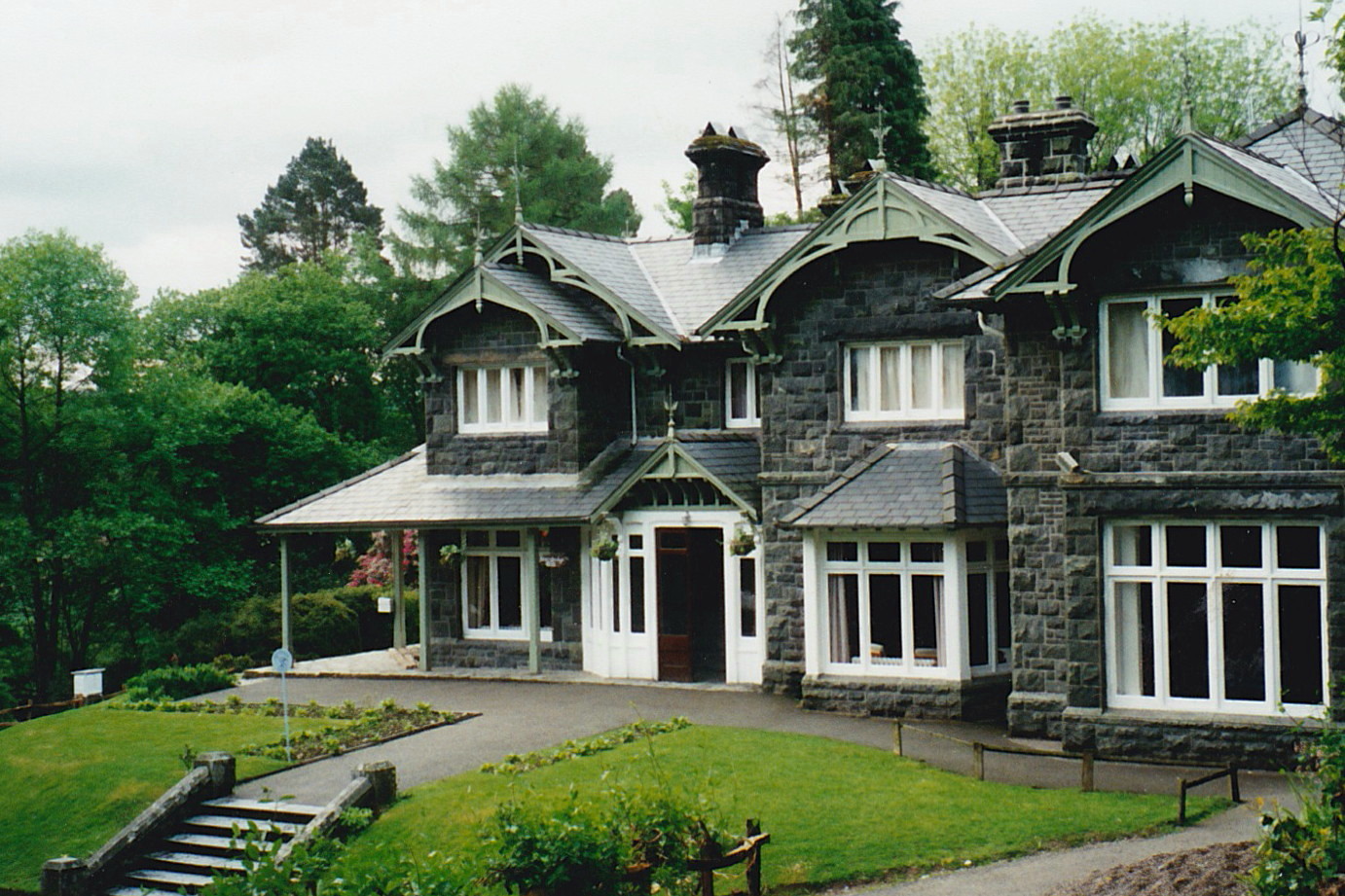
Aberglaslyn Hall
Aberglaslyn Hall is an outdoor learning centre near Beddgelert, North Wales on the edge of the Snowdonia National Park. The hall was purchased by Leicestershire...
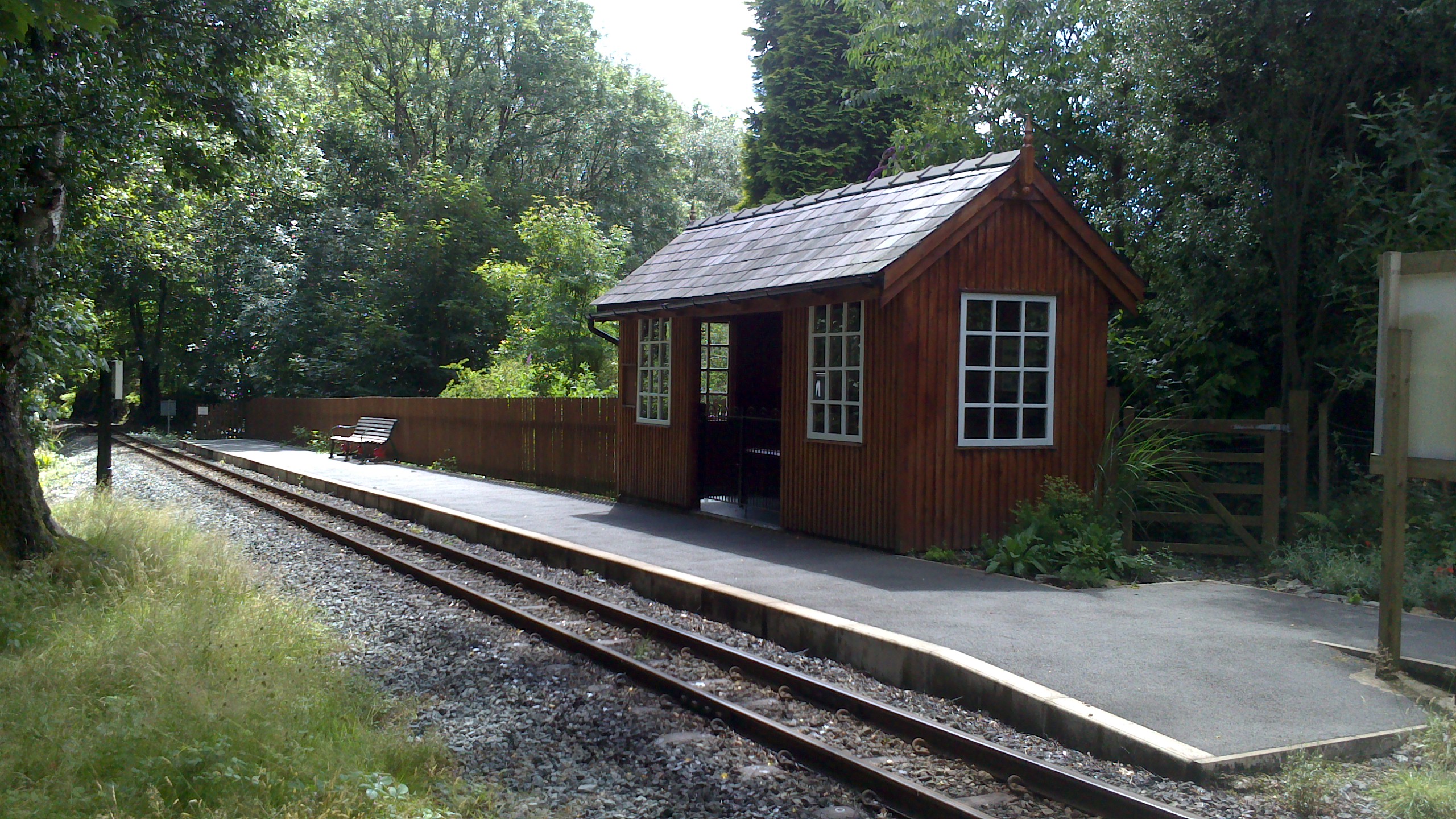
Nantmor railway station
Nantmor is a railway halt in North Wales serving the nearby hamlet of the same name. It is located between the stations of Beddgelert and Pont Croesor...
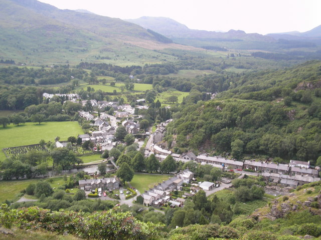
Beddgelert
Beddgelert (Welsh: [bɛðˈgɛlɛrt] ) is a village and community in the Snowdonia area of Gwynedd, Wales. The population of the community taken at the 2011...
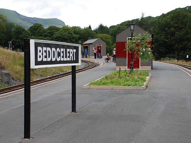
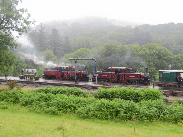
Beddgelert railway station
Beddgelert railway station is a railway station on the narrow gauge Welsh Highland Railway in North Wales. The rebuilt station was officially opened by...

Nantmor
Nantmor is a hamlet which lies about 1½ miles to the south of the village of Beddgelert in Gwynedd, Wales. The current spelling of the name Nantmor is...

Beddgelert Fault
Beddgelert Fault First reported in a Memoir of the British Geological Survey activity ref. Ramsay 1881. It is a SW-NE trending volcanotectonic fault in...
Nearby Amenities
Located within 500m of 53,-4.101Have you been to Aberglaslyn and Beddgelert?
Leave your review of Aberglaslyn and Beddgelert below (or comments, questions and feedback).