Aberglaslyn Woods
Wood, Forest in Caernarfonshire
Wales
Aberglaslyn Woods
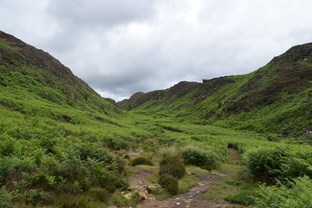
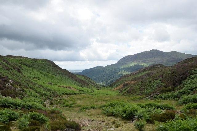
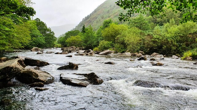
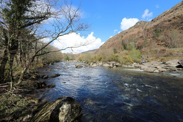
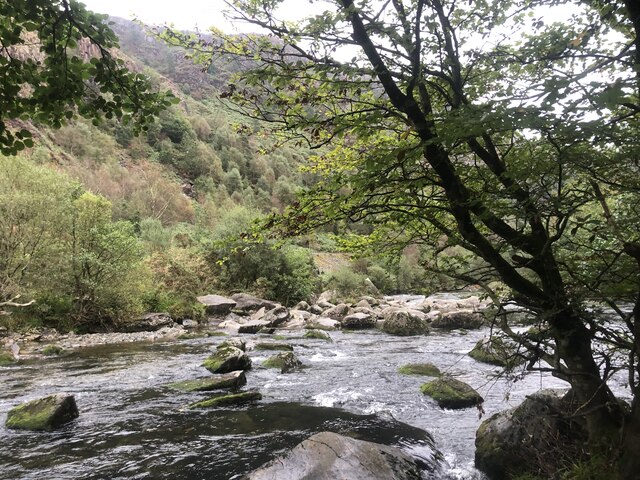
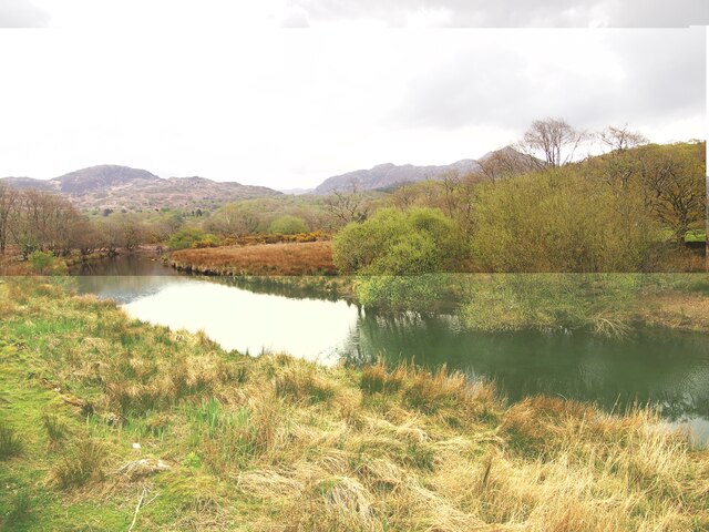
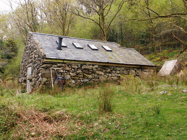
Aberglaslyn Woods, located in Caernarfonshire, Wales, is a stunning woodland area renowned for its natural beauty and rich history. Covering an area of approximately 200 hectares, this ancient forest is nestled in the picturesque valley of the River Glaslyn, offering visitors a peaceful and enchanting escape.
The woods are characterized by a diverse range of trees, including oak, ash, birch, and rowan, creating a lush and vibrant canopy. These towering trees provide a haven for a variety of wildlife, such as red squirrels, otters, and numerous bird species, making it a paradise for nature enthusiasts and birdwatchers.
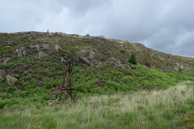
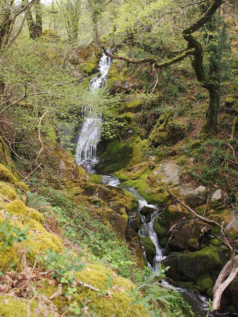
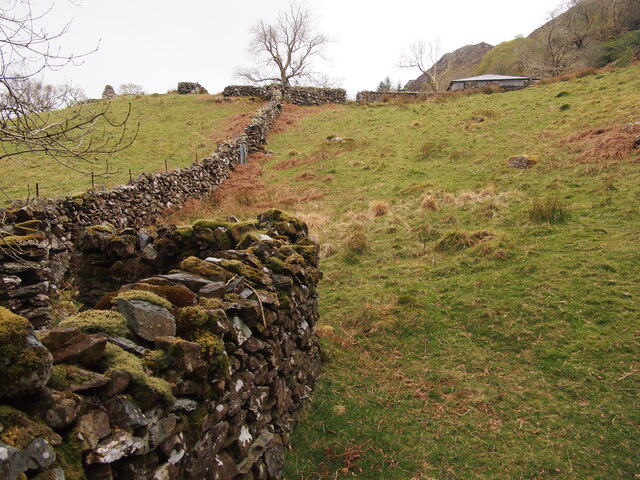
The network of walking trails meandering through Aberglaslyn Woods allows visitors to explore its hidden treasures. The riverside path offers breathtaking views of the crystal-clear waters of the River Glaslyn, while the woodland trails lead to ancient ruins, including a medieval bridge and a 17th-century copper mine.
Adding to its allure, Aberglaslyn Woods is steeped in history. The area has been inhabited since the Neolithic period, with evidence of early settlements and ancient burial mounds. The woods were also an integral part of the region's copper mining industry in the 17th and 18th centuries, with remnants of the mine still visible today.
Aberglaslyn Woods is not only a natural wonder but also a site of cultural significance. It has inspired numerous artists and writers, including the renowned Welsh poet R. S. Thomas, who often found solace and inspiration in its tranquil surroundings.
Overall, Aberglaslyn Woods is a captivating destination for anyone seeking to connect with nature, explore history, and experience the serene beauty of a Welsh woodland.
If you have any feedback on the listing, please let us know in the comments section below.
Aberglaslyn Woods Images
Images are sourced within 2km of 52.995136/-4.1017454 or Grid Reference SH5946. Thanks to Geograph Open Source API. All images are credited.


Aberglaslyn Woods is located at Grid Ref: SH5946 (Lat: 52.995136, Lng: -4.1017454)
Unitary Authority: Gwynedd
Police Authority: North Wales
What 3 Words
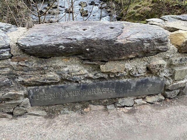
///incursion.pinging.onions. Near Penrhyndeudraeth, Gwynedd
Nearby Locations
Related Wikis

Pont Aberglaslyn
Pont Aberglaslyn is a stone arch bridge over the Afon Glaslyn and the surrounding hamlet, located near Beddgelert and Nantmor in Gwynedd, north-west Wales...
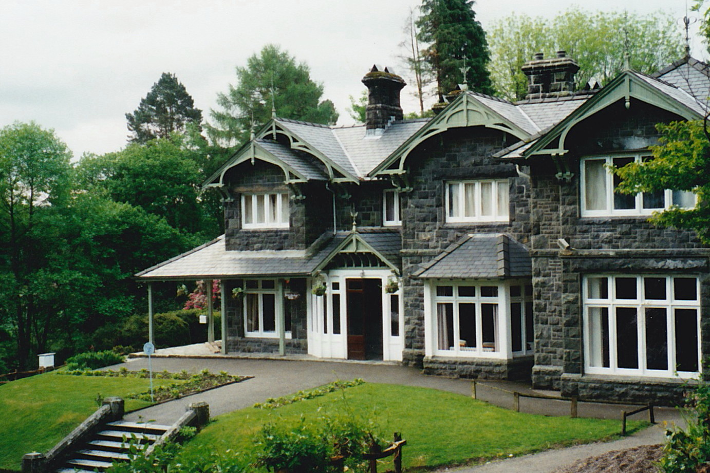
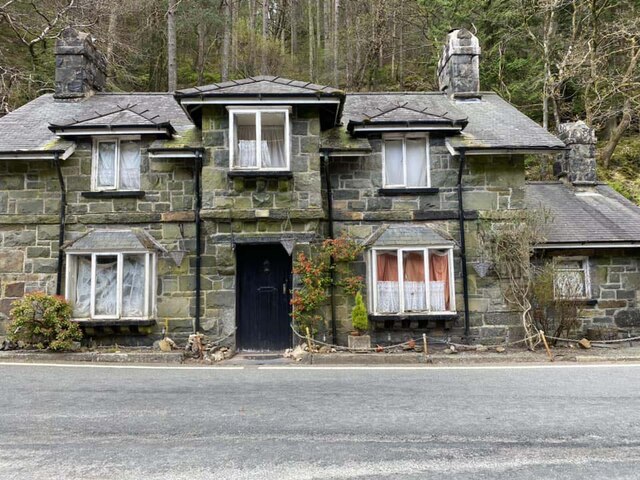
Aberglaslyn Hall
Aberglaslyn Hall is an outdoor learning centre near Beddgelert, North Wales on the edge of the Snowdonia National Park. The hall was purchased by Leicestershire...

Aberglaslyn Pass
The Aberglaslyn Pass (Welsh: Bwlch Aberglaslyn) is a narrow gorge of considerable beauty in Snowdonia, Gwynedd, north Wales. The A498 road/A4085 road follows...
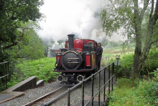
Nantmor railway station
Nantmor is a railway halt in North Wales serving the nearby hamlet of the same name. It is located between the stations of Beddgelert and Pont Croesor...

Nantmor
Nantmor is a hamlet which lies about 1½ miles to the south of the village of Beddgelert in Gwynedd, Wales. The current spelling of the name Nantmor is...

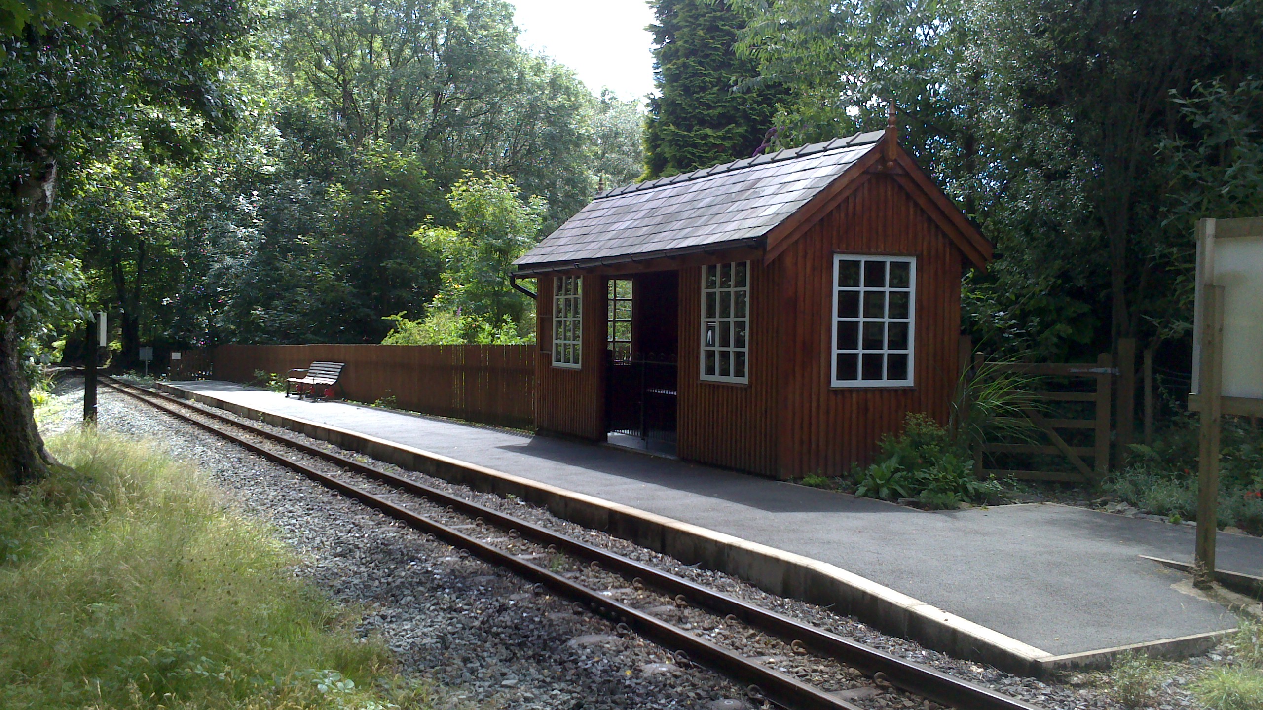
Hafod y Llyn railway station
Hafod y Llyn is a halt in North Wales on the Welsh Highland Railway, located between Beddgelert and Pont Croesor. It had been a halt, with a siding for...
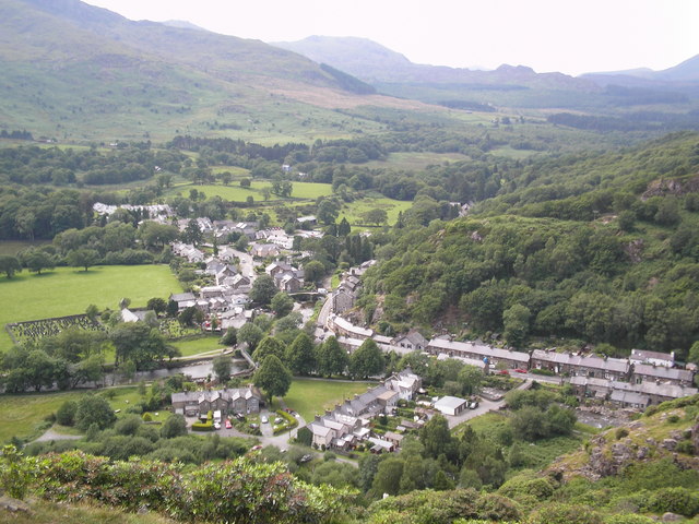
Beddgelert
Beddgelert (Welsh: [bɛðˈgɛlɛrt] ) is a village and community in the Snowdonia area of Gwynedd, Wales. The population of the community taken at the 2011...
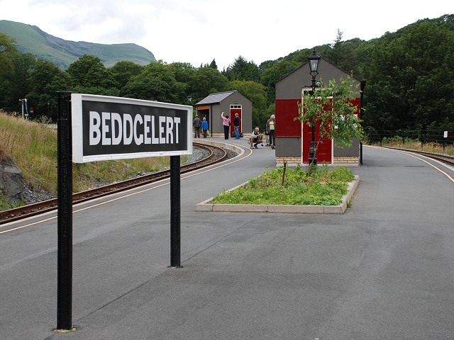
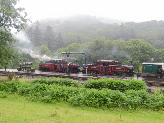
Beddgelert railway station
Beddgelert railway station is a railway station on the narrow gauge Welsh Highland Railway in North Wales. The rebuilt station was officially opened by...
Nearby Amenities
Located within 500m of 52.995136,-4.1017454Have you been to Aberglaslyn Woods?
Leave your review of Aberglaslyn Woods below (or comments, questions and feedback).