Meinir

Settlement in Anglesey

Wales

Meinir

Public footpath along the south shore of Llyn Alaw Interestingly, on maps just a few years old, this is not marked as a right of way, though a kilometre behind the photographer, a short stretch was marked as a public footpath. On the current online mapping the right of way extends further along the shore (throughout most of this kilometre square, in fact) but still stops short of connecting to the shore access path at Penwerthyr. Signage on the shore suggests that it is all public right of way, though the continuing shoreline path beyond the access is apparently not. Although the day this photo was taken was hot and dry, there had been a wet summer, so the vegetation is luxuriant, and in places, the path very wet underfoot. Some of the fencing is poorly maintained, so west of us here, sheep had burgled under the wires to gain access to the reservoir, much to the chagrin of the dog, who promptly went back on her lead.
Public footpath along the south shore of Llyn Alaw Credit: Andy Waddington

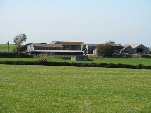
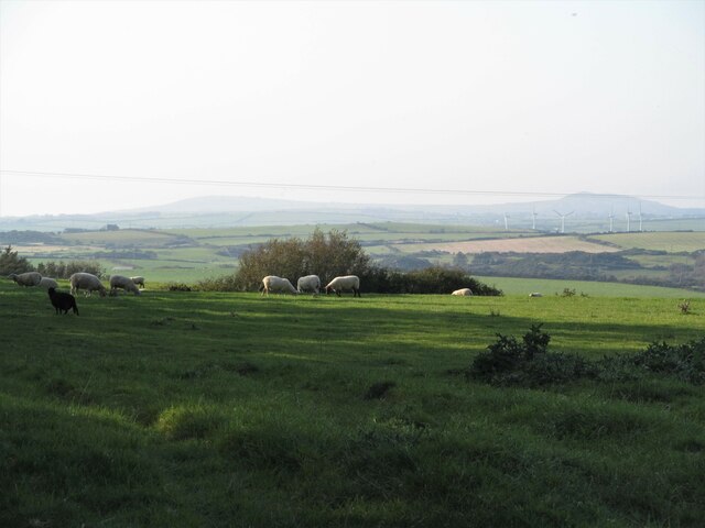
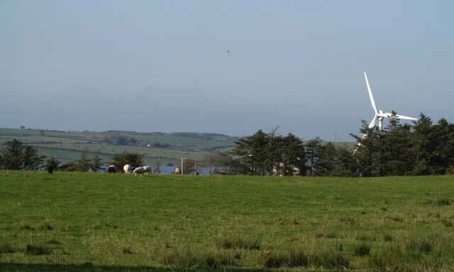
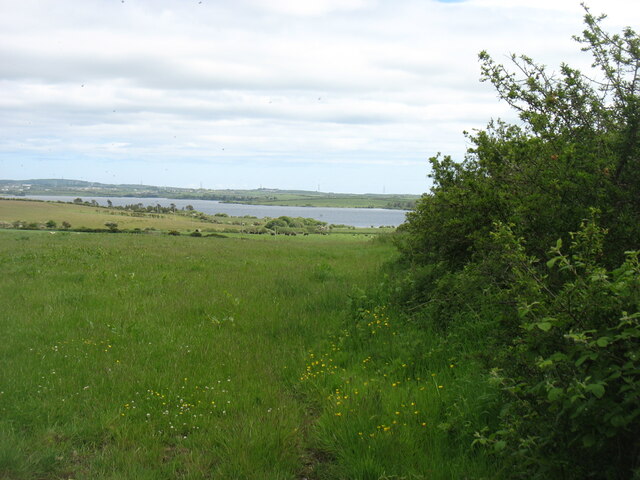
Meinir is a small village situated on the island of Anglesey, located off the northwest coast of Wales. It is nestled in a picturesque rural setting, surrounded by rolling green fields and offering stunning views of the nearby Snowdonia mountain range.

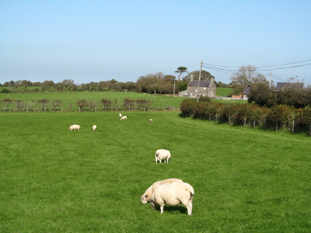
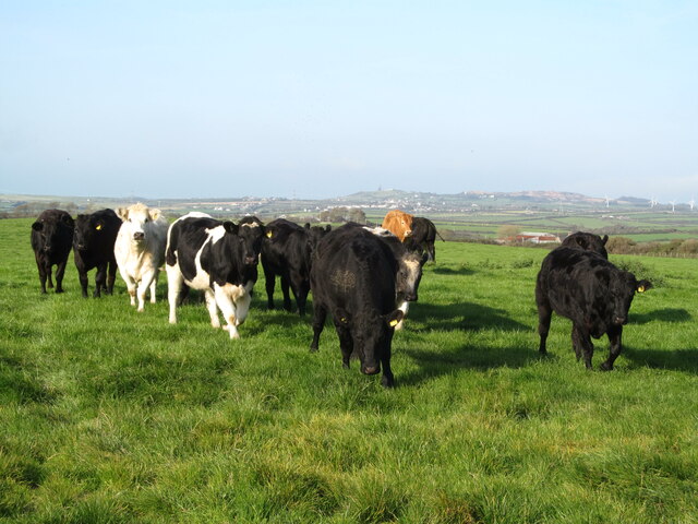
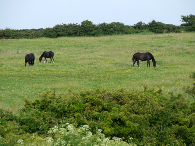
The village is home to a close-knit community, with a population of approximately 300 residents. The area is known for its peaceful and tranquil atmosphere, attracting both locals and visitors looking for a quiet getaway. The charming countryside landscape provides ample opportunities for outdoor activities such as hiking, cycling, and horseback riding.

The village itself features a few amenities to cater to the needs of its residents and visitors. These include a local convenience store, a cozy pub, and a community center that hosts various events throughout the year. The village also has a primary school, providing education for the local children.

Meinir is well-connected to the rest of Anglesey, with easy access to nearby towns and attractions. The popular seaside town of Rhosneigr is just a short drive away, offering beautiful sandy beaches and water sports activities. Additionally, the city of Bangor, with its university, shopping centers, and cultural events, is within a reasonable distance.

Overall, Meinir offers a peaceful and idyllic setting for those seeking a serene escape amidst the natural beauty of Anglesey. The village's close community spirit and its convenient location make it an appealing place to live or visit.

If you have any feedback on the listing, please let us know in the comments section below.
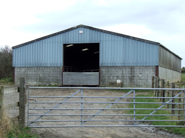
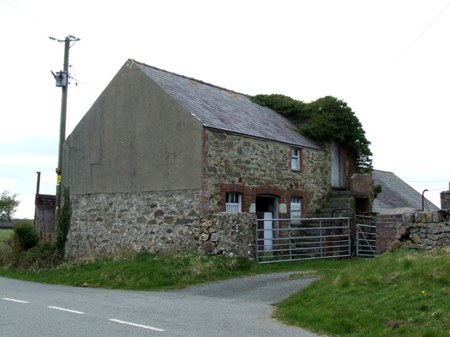
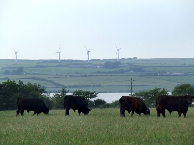
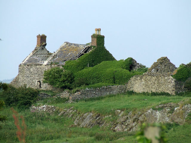
Meinir Images

Images are sourced within 2km of 53.339294/-4.406916 or Grid Reference SH3985. Thanks to Geograph Open Source API. All images are credited.

Public footpath along the south shore of Llyn Alaw Interestingly, on maps just a few years old, this is not marked as a right of way, though a kilometre behind the photographer, a short stretch was marked as a public footpath. On the current online mapping the right of way extends further along the shore (throughout most of this kilometre square, in fact) but still stops short of connecting to the shore access path at Penwerthyr. Signage on the shore suggests that it is all public right of way, though the continuing shoreline path beyond the access is apparently not. Although the day this photo was taken was hot and dry, there had been a wet summer, so the vegetation is luxuriant, and in places, the path very wet underfoot. Some of the fencing is poorly maintained, so west of us here, sheep had burgled under the wires to gain access to the reservoir, much to the chagrin of the dog, who promptly went back on her lead.
Public footpath along the south shore of Llyn Alaw
Interestingly, on maps just a few years old, this is not marked as a right of way, though a kilometre behind the photographer, a short stretch was marked as a public footpath. On the current online mapping the right of way extends further along the shore (throughout most of this kilometre square, in fact) but still stops short of connecting to the shore access path at Penwerthyr. Signage on the shore suggests that it is all public right of way, though the continuing shoreline path beyond the access is apparently not. Although the day this photo was taken was hot and dry, there had been a wet summer, so the vegetation is luxuriant, and in places, the path very wet underfoot. Some of the fencing is poorly maintained, so west of us here, sheep had burgled under the wires to gain access to the reservoir, much to the chagrin of the dog, who promptly went back on her lead.
Beach on Llyn Alaw Whilst attractive above water, below the surface, a heavy growth of algae coated the bottom, making it unattractive for paddling - for humans. The dog had no such qualms on this rather rare hot sunny day in summer 2021. Although we met no-one on our walk, there is clearly enough visitation to generate fierce signs at the end of the tiny approach road about vehicle access, and there is evidence of careless barbecue or picnic fire users in scarring on the ground. Perhaps more of an evening venue ?
Beach on Llyn Alaw
Whilst attractive above water, below the surface, a heavy growth of algae coated the bottom, making it unattractive for paddling - for humans. The dog had no such qualms on this rather rare hot sunny day in summer 2021. Although we met no-one on our walk, there is clearly enough visitation to generate fierce signs at the end of the tiny approach road about vehicle access, and there is evidence of careless barbecue or picnic fire users in scarring on the ground. Perhaps more of an evening venue ?
Benchmark on St Ceidio's church north of Llanerchymedd Ordnance Survey benchmark on St Ceidio's church. For a wider view see: <a href="https://www.geograph.org.uk/photo/7583392">SH4185 : St Ceidio's church north of Llanerchymedd</a> The mark was levelled at 68.928m above Newlyn Datum, verified 1955. 
Benchmark Database: <span class="nowrap"><a title="https://www.bench-marks.org.uk/bm201996" rel="nofollow ugc noopener" href="https://www.bench-marks.org.uk/bm201996">Link</a><img style="margin-left:2px;" alt="External link" title="External link - shift click to open in new window" src="https://s1.geograph.org.uk/img/external.png" width="10" height="10"/></span>
Benchmark on St Ceidio's church north of Llanerchymedd
Ordnance Survey benchmark on St Ceidio's church. For a wider view see: SH4185 : St Ceidio's church north of Llanerchymedd The mark was levelled at 68.928m above Newlyn Datum, verified 1955. Benchmark Database: LinkExternal link
St Ceidio's church north of Llanerchymedd St Ceidio's church is believed to be 15th century, but was rebuilt in 1845 using the same stones. There is an Ordnance Survey benchmark on the north face of the church, below the window nearest the camera <a href="https://www.geograph.org.uk/photo/7583387">SH4185 : Benchmark on St Ceidio's church north of Llanerchymedd</a>
St Ceidio's church north of Llanerchymedd
St Ceidio's church is believed to be 15th century, but was rebuilt in 1845 using the same stones. There is an Ordnance Survey benchmark on the north face of the church, below the window nearest the camera SH4185 : Benchmark on St Ceidio's church north of Llanerchymedd
Sheep pastures south west of Llanerchymedd Pastureland close by the B5112, which is behind the hedge to the right. In the distance is Tafarn-y-botel, which sounds like it should have been a pub.
Sheep pastures south west of Llanerchymedd
Pastureland close by the B5112, which is behind the hedge to the right. In the distance is Tafarn-y-botel, which sounds like it should have been a pub.
Grassland with cattle Pasture on the north side of the minor road west of Llanerchymedd.
Grassland with cattle
Pasture on the north side of the minor road west of Llanerchymedd.
Green pastures towards Chwaen Bach farm I find it hard to believe that Chwaen Bach appears to translate as 'Little Flies', but maybe there are some buzzing around the dung heap.
Green pastures towards Chwaen Bach farm
I find it hard to believe that Chwaen Bach appears to translate as 'Little Flies', but maybe there are some buzzing around the dung heap.
Ruin on the hillside The ruined farmhouse at Pen-y-bryn.
Ruin on the hillside
The ruined farmhouse at Pen-y-bryn.
Marshy hollow near Pen-y-bryn A small stream begins life somewhere in this marshy area and makes its way north into Llyn Alaw which is visible in the distance.
Marshy hollow near Pen-y-bryn
A small stream begins life somewhere in this marshy area and makes its way north into Llyn Alaw which is visible in the distance.
Lengthening shadows Sheep on a low hill near Nantanog.
Lengthening shadows
Sheep on a low hill near Nantanog.
A picture of parts Here is a part of a shelter belt of trees above which can be seen part of a wind turbine, whilst in the distance is part of Llyn Alaw.
A picture of parts
Here is a part of a shelter belt of trees above which can be seen part of a wind turbine, whilst in the distance is part of Llyn Alaw.
The Llyn Alaw Reservoir Llyn Alaw is the largest body of water on Anglesey.
The Llyn Alaw Reservoir
Llyn Alaw is the largest body of water on Anglesey.
Farm Building Farm building alongside minor road
Farm Building
Farm building alongside minor road
Farm Buildings at Tafarn y Botel Farm Buildings alongside the B5112 road at Tafarn y Botel
Farm Buildings at Tafarn y Botel
Farm Buildings alongside the B5112 road at Tafarn y Botel
Four Cows and Four Wind turbines Cows grazing in a field overlooking the Alaw reservoir, with a windfarm on the horizon
Four Cows and Four Wind turbines
Cows grazing in a field overlooking the Alaw reservoir, with a windfarm on the horizon
Ruin at Pen Y Bryn A derelict farmhouse at Pen Y Bryn
Ruin at Pen Y Bryn
A derelict farmhouse at Pen Y Bryn
Horses grazing on the hillside Horses grazing in a field to the West of Llanerchymedd
Horses grazing on the hillside
Horses grazing in a field to the West of Llanerchymedd
The Southern shore of Llyn Alaw A view of the Southern shore of Llyn Alaw as seen from near to the pumping station
The Southern shore of Llyn Alaw
A view of the Southern shore of Llyn Alaw as seen from near to the pumping station
Show me another place!

Meinir is located at Grid Ref: SH3985 (Lat: 53.339294, Lng: -4.406916)

Unitary Authority: Isle of Anglesey

Police Authority: North Wales

What 3 Words

///snuck.nipping.warriors. Near Llanerchymedd, Isle of Anglesey

Nearby Locations

Meinir

Related Wikis

Meinir, Anglesey

Meinir is a hamlet in the community of Llannerch-y-medd, Anglesey, Wales, which is 138.5 miles (222.9 km) from Cardiff and 220.2 miles (354.3 km) from...

St Mary's Church, Rhodogeidio

St Mary's Church, Rhodogeidio is a small medieval church, dating from the 15th century, near Llannerch-y-medd, in Anglesey, north Wales. It served as a...

Gwredog

Gwredog is a village in the community of Llannerch-y-medd, Anglesey, Wales, which is 139 miles (224 km) from Cardiff and 220 miles (350 km) from London...

St Ceidio's Church, Rhodogeidio

St Ceidio's Church, Rhodogeidio is a rural 19th-century church near Llannerch-y-medd, in Anglesey, north Wales. It was built using materials from the 14th...
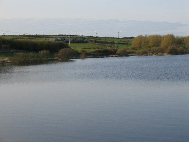
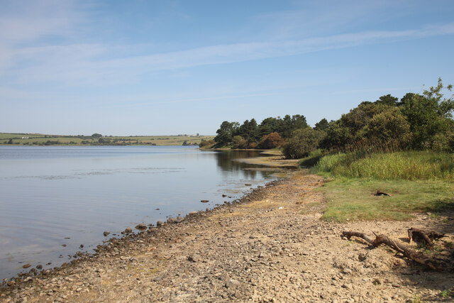
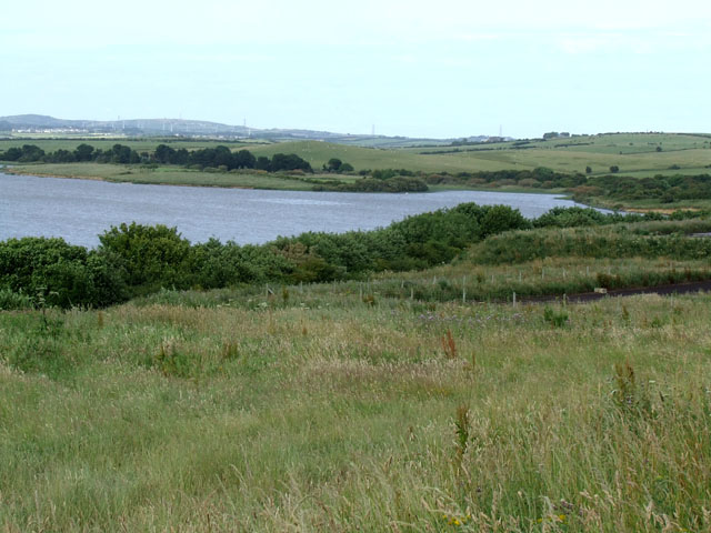
Llyn Alaw

Llyn Alaw (meaning: Lily Lake) is a man-made reservoir on Anglesey, North Wales managed by Dŵr Cymru Welsh Water. It is a shallow lake and was built in...

Llanerchymedd railway station

Llanerchymedd railway station was situated on the Anglesey Central Railway line from Gaerwen to Amlwch. There was a single platform with a small station...

Llannerch-y-medd

Llannerch-y-medd, is a small village, community and post town on the Isle of Anglesey in Wales. The Royal Mail postcode is LL71, and it has a population...

St Mary's Church, Llannerch-y-medd

St Mary's Church is a medieval church in the town of Llannerch-y-medd, Anglesey, Wales. St Mary's Church is dedicated to Saint Mary. The east doorway in...

Have you been to Meinir?

Leave your review of Meinir below (or comments, questions and feedback).