Meir

Settlement in Staffordshire

England

Meir

Old Milepost Uttoxeter Road Cast iron post by the A5007 (was A50), in parish of STOKE ON TRENT (STOKE ON TRENT District), West of Longton town centre, King Street, in tarmac in front of brick wall, on Southwest side of road. Cobridge iron casting, erected by the Newcastle to Blythe Marsh turnpike trust in the 19th century.

Inscription reads:-
: NEWCASTLE / 5 / MILES // UTTOXETER / 13 / MILES 

Maker:- : S.N. Cobridge :

Milestone Society National ID: ST_NCUT05
Old Milepost Uttoxeter Road Credit: Ivan Clare

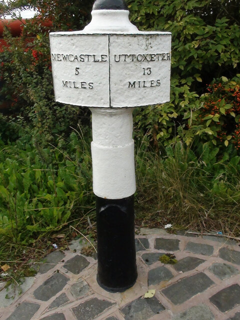
Meir is a suburban village located in the county of Staffordshire, England. Situated approximately three miles southeast of the city center of Stoke-on-Trent, Meir is surrounded by the towns of Longton, Dresden, and Normacot. It falls under the Stoke-on-Trent South parliamentary constituency.

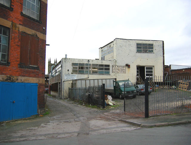
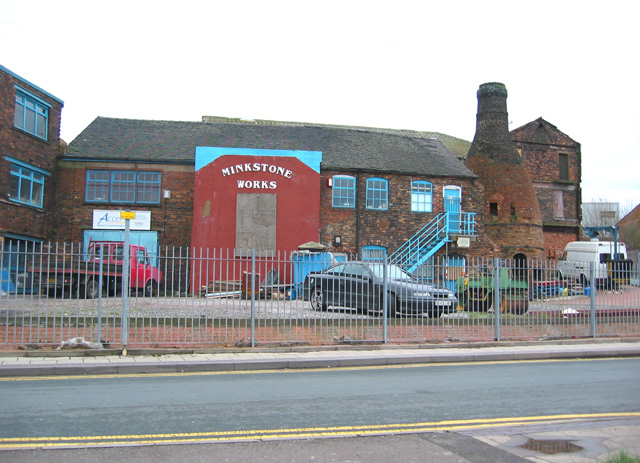
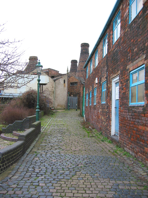
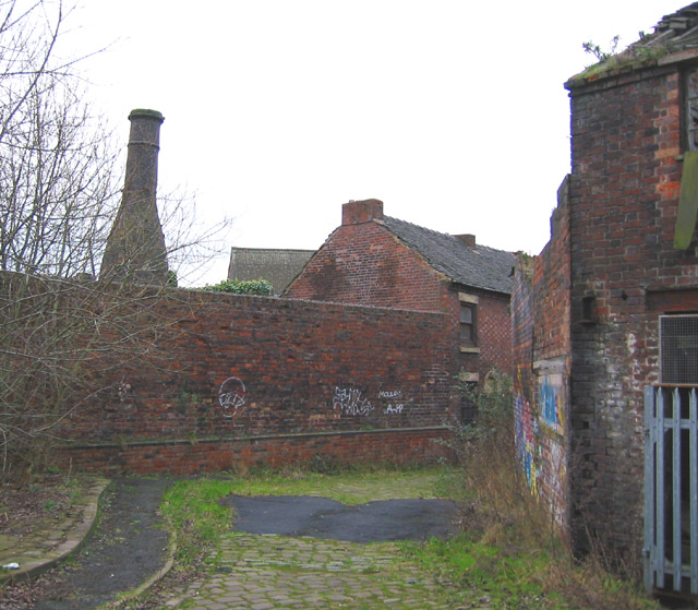
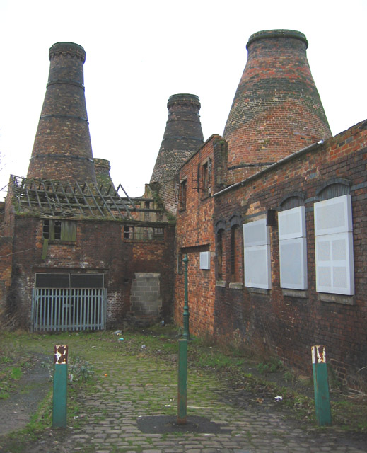
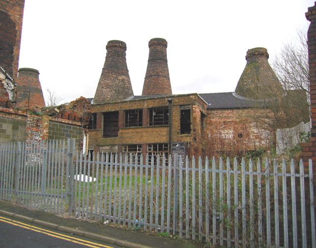
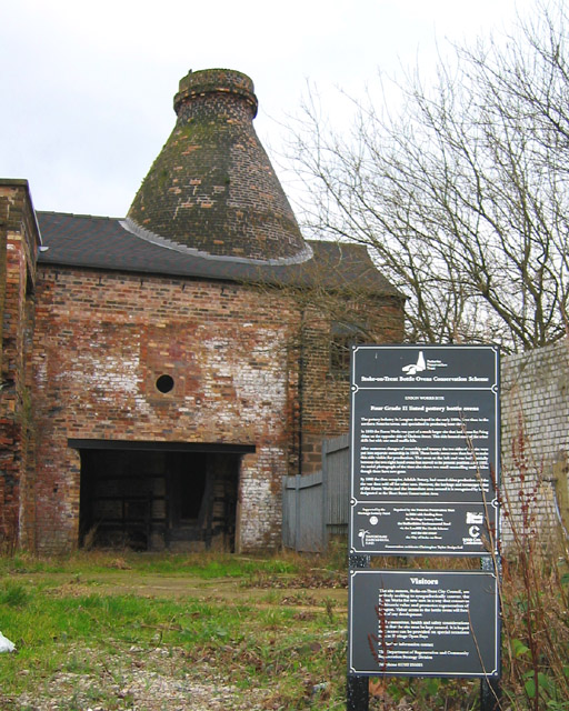
Known for its rich industrial heritage, Meir was historically a coal mining area, with several collieries operating in the vicinity during the 19th and early 20th centuries. The closure of the mines led to a decline in the local economy, but the village has since transformed into a thriving residential area.

Today, Meir is home to a diverse population and offers a range of amenities to its residents. The village has a variety of shops, including supermarkets, convenience stores, and local businesses, providing for the daily needs of the community. There are also several schools in the area, catering to the education of local children.

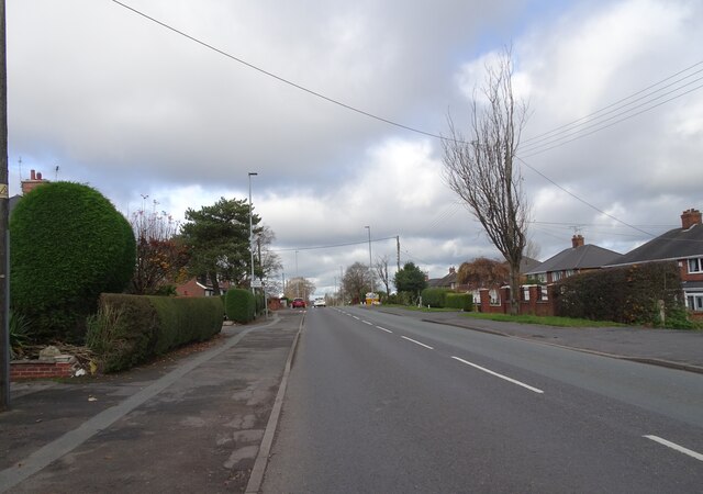
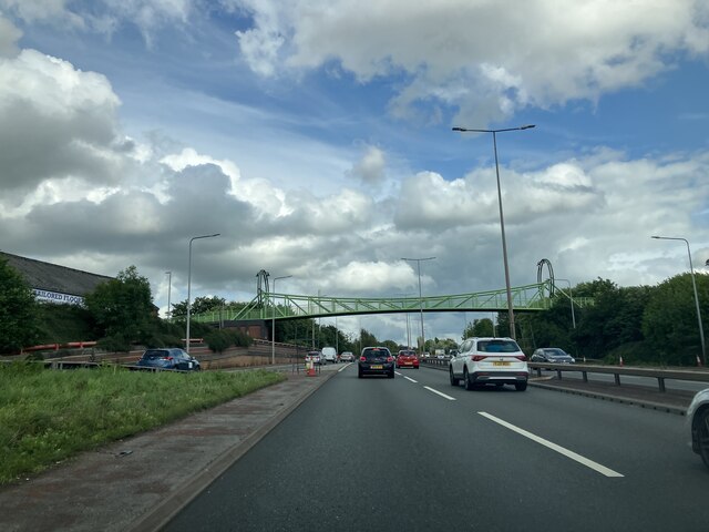
The transportation infrastructure in Meir is well-developed, with frequent bus services connecting the village to Stoke-on-Trent and surrounding areas. The nearby A50 road provides easy access to other parts of Staffordshire and the wider region.

Meir boasts several green spaces, including parks and recreational areas, offering opportunities for outdoor activities and relaxation. Additionally, the Meir Community and Education Centre serves as a hub for various community events and activities.

Overall, Meir presents a blend of history and modernity, offering its residents a peaceful suburban lifestyle with convenient access to nearby urban centers.

If you have any feedback on the listing, please let us know in the comments section below.

Meir Images

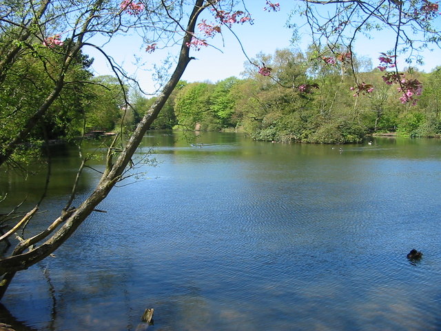
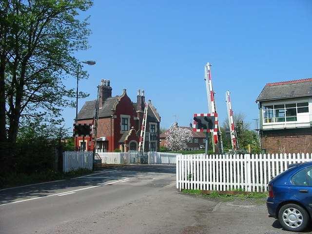
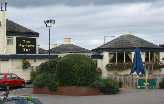
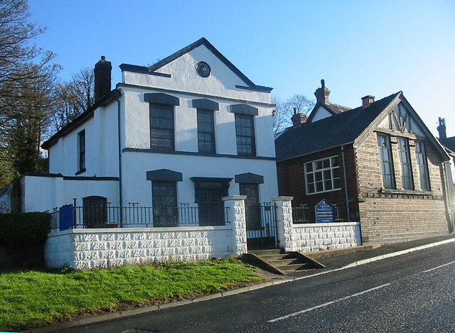
Images are sourced within 2km of 52.977804/-2.103921 or Grid Reference SJ9342. Thanks to Geograph Open Source API. All images are credited.

Old Milepost Uttoxeter Road Cast iron post by the A5007 (was A50), in parish of STOKE ON TRENT (STOKE ON TRENT District), West of Longton town centre, King Street, in tarmac in front of brick wall, on Southwest side of road. Cobridge iron casting, erected by the Newcastle to Blythe Marsh turnpike trust in the 19th century.

Inscription reads:-
: NEWCASTLE / 5 / MILES // UTTOXETER / 13 / MILES 

Maker:- : S.N. Cobridge :

Milestone Society National ID: ST_NCUT05
Old Milepost Uttoxeter Road
Cast iron post by the A5007 (was A50), in parish of STOKE ON TRENT (STOKE ON TRENT District), West of Longton town centre, King Street, in tarmac in front of brick wall, on Southwest side of road. Cobridge iron casting, erected by the Newcastle to Blythe Marsh turnpike trust in the 19th century. Inscription reads:- : NEWCASTLE / 5 / MILES // UTTOXETER / 13 / MILES Maker:- : S.N. Cobridge : Milestone Society National ID: ST_NCUT05
Sandon Road The view along the A520 road in Meir Heath, Staffordshire.
Sandon Road
The view along the A520 road in Meir Heath, Staffordshire.
Bridge over the A50
Bridge over the A50
FlyUnder The Meir Underpass, on the A50 at Stoke. Constructed in 1998, it eased considerably the congestion at this notorious bottleneck.
FlyUnder
The Meir Underpass, on the A50 at Stoke. Constructed in 1998, it eased considerably the congestion at this notorious bottleneck.
Grindley Park Houses in the distance are Sandon Road.[Looking NNW]
Grindley Park
Houses in the distance are Sandon Road.[Looking NNW]
Weston Coyney Once in open country this peaceful pool is now a feature of a modern housing estate.
Weston Coyney
Once in open country this peaceful pool is now a feature of a modern housing estate.
Cookshill The Auctioneers Arms, Cookshill near Stoke on Trent.
Cookshill
The Auctioneers Arms, Cookshill near Stoke on Trent.
Caverswall Lane Crossing Modern crossing gates on the Stoke - Derby railway line. The distinctive architecture of the old North Staffordshire Railway can be seen in the crossing keepers house beyond.
Caverswall Lane Crossing
Modern crossing gates on the Stoke - Derby railway line. The distinctive architecture of the old North Staffordshire Railway can be seen in the crossing keepers house beyond.
The Potters Bar On the Meir Park estate
The Potters Bar
On the Meir Park estate
Lightwood Road Methodist chapel and rooms Lightwood, Stoke on Trent
Lightwood Road
Methodist chapel and rooms Lightwood, Stoke on Trent
Former potteries, Warren Street, Longton Dilapidated former pottery factories on Warren Street, just off Uttoxeter Road (A50). The tower in the distance is the church of St James and St John. The red-brick building on the left is also shown in <a href="https://www.geograph.org.uk/photo/6995">SJ9143 : Stoke-on-Trent Bottle Kiln</a>
Former potteries, Warren Street, Longton
Dilapidated former pottery factories on Warren Street, just off Uttoxeter Road (A50). The tower in the distance is the church of St James and St John. The red-brick building on the left is also shown in SJ9143 : Stoke-on-Trent Bottle Kiln
Bottle kiln, former Minkstone Works, Longton Grade-II-listed, late 19th century brick bottle kiln at the former Minkstone Works, on the corner of Warren Street and Normacot Road. The kiln would have been housed in a building which has been demolished (see <a href="https://www.geograph.org.uk/photo/312759">SJ9143 : Bottle kiln, Enson Works, Longton</a> for a nearby example). Despite EU funding for development (see <span class="nowrap"><a title="http://ec.europa.eu/regional_policy/urban2/urban/upp/src/bullet05.htm" rel="nofollow ugc noopener" href="http://ec.europa.eu/regional_policy/urban2/urban/upp/src/bullet05.htm">Link</a><img style="margin-left:2px;" alt="External link" title="External link - shift click to open in new window" src="https://s1.geograph.org.uk/img/external.png" width="10" height="10"/></span> ), the kiln and surrounding area appeared rather dilapidated
Bottle kiln, former Minkstone Works, Longton
Grade-II-listed, late 19th century brick bottle kiln at the former Minkstone Works, on the corner of Warren Street and Normacot Road. The kiln would have been housed in a building which has been demolished (see SJ9143 : Bottle kiln, Enson Works, Longton for a nearby example). Despite EU funding for development (see LinkExternal link ), the kiln and surrounding area appeared rather dilapidated
View of bottle kilns, Short Street, Longton Short Street is a narrow paved passage that runs between Normacot Road (this view) and Uttoxeter Road. The passage runs beside the former Enson pottery works, three of whose four bottle kilns are visible in the distance. The tower of St James and St John church can also just be seen. To the left, steps lead down to a small paved recreational area off Normacot Road
View of bottle kilns, Short Street, Longton
Short Street is a narrow paved passage that runs between Normacot Road (this view) and Uttoxeter Road. The passage runs beside the former Enson pottery works, three of whose four bottle kilns are visible in the distance. The tower of St James and St John church can also just be seen. To the left, steps lead down to a small paved recreational area off Normacot Road
Workers' cottages, Short Street, Longton Terrace of three Grade-II-listed, mid-19th century, red-brick workers' cottages, on Short Street. They may have housed workers at a pottery off Uttoxeter Road, whose bottle kiln stands immediately behind the terrace (see <a href="https://www.geograph.org.uk/photo/312115">SJ9143 : Bottle kiln, from Short Street, Longton</a>)
Workers' cottages, Short Street, Longton
Terrace of three Grade-II-listed, mid-19th century, red-brick workers' cottages, on Short Street. They may have housed workers at a pottery off Uttoxeter Road, whose bottle kiln stands immediately behind the terrace (see SJ9143 : Bottle kiln, from Short Street, Longton)
Bottle kiln, from Short Street, Longton Short Street opens onto a small square from which several disused bottle kilns are visible. This grade-II-listed example is behind 120 Uttoxeter Road. See also <a href="https://www.geograph.org.uk/photo/312104">SJ9143 : Workers' cottages, Short Street, Longton</a>

Alan Murray-Rust adds: The particular interest of this kiln is that it is one of only two remaining decorating kilns in the area, the other being in the Gladstone Museum itself. These kilns were used when firing the painted or transfer decorations onto the pottery, where very careful control of temperature and conditions were required. (Information courtesy Phil Rowley of the Museum)
Bottle kiln, from Short Street, Longton
Short Street opens onto a small square from which several disused bottle kilns are visible. This grade-II-listed example is behind 120 Uttoxeter Road. See also SJ9143 : Workers' cottages, Short Street, Longton Alan Murray-Rust adds: The particular interest of this kiln is that it is one of only two remaining decorating kilns in the area, the other being in the Gladstone Museum itself. These kilns were used when firing the painted or transfer decorations onto the pottery, where very careful control of temperature and conditions were required. (Information courtesy Phil Rowley of the Museum)
Enson Works, from Short Street, Longton A small paved square in Short Street, between Uttoxeter and Normacot Roads, gives views onto several disused bottle kilns. These four grade-II-listed kilns at the Enson Works on Chelson Street form a rare example of an intact group. The kilns date from the late 19th century; one was moved after 1932. The original site had a further two muffle kilns, now demolished. The Short Street site is now designated a conservation area, and is owned by the Stoke-on-Trent City Council, who are seeking to restore the area for visitor access. For another view, see <a href="https://www.geograph.org.uk/photo/312736">SJ9143 : Enson Works, from Chelson Street, Longton</a>
Enson Works, from Short Street, Longton
A small paved square in Short Street, between Uttoxeter and Normacot Roads, gives views onto several disused bottle kilns. These four grade-II-listed kilns at the Enson Works on Chelson Street form a rare example of an intact group. The kilns date from the late 19th century; one was moved after 1932. The original site had a further two muffle kilns, now demolished. The Short Street site is now designated a conservation area, and is owned by the Stoke-on-Trent City Council, who are seeking to restore the area for visitor access. For another view, see SJ9143 : Enson Works, from Chelson Street, Longton
Enson Works, from Chelson Street, Longton These four grade-II-listed bottle kilns at the Enson Works on Chelson Street form a rare example of an intact group. The kilns can be seen to protrude from the roofs of works buildings; this was typical of the original working state, although in many surviving examples the works building has now been demolished  (see, for example, the nearby <a href="https://www.geograph.org.uk/photo/312026">SJ9142 : Bottle kiln, former Minkstone Works, Longton</a>). The kilns date from the late 19th century; one was moved after 1932. The original site had a further two muffle kilns, now demolished. The Short Street site is now designated a conservation area, and is owned by the Stoke-on-Trent City Council, who are seeking to restore the area for visitor access. See also close-up <a href="https://www.geograph.org.uk/photo/312759">SJ9143 : Bottle kiln, Enson Works, Longton</a>, another view <a href="https://www.geograph.org.uk/photo/312716">SJ9143 : Enson Works, from Short Street, Longton</a> and adjacent works building <a href="https://www.geograph.org.uk/photo/313151">SJ9143 : Enson Works, Chelson Street, Longton</a>
Enson Works, from Chelson Street, Longton
These four grade-II-listed bottle kilns at the Enson Works on Chelson Street form a rare example of an intact group. The kilns can be seen to protrude from the roofs of works buildings; this was typical of the original working state, although in many surviving examples the works building has now been demolished (see, for example, the nearby SJ9142 : Bottle kiln, former Minkstone Works, Longton). The kilns date from the late 19th century; one was moved after 1932. The original site had a further two muffle kilns, now demolished. The Short Street site is now designated a conservation area, and is owned by the Stoke-on-Trent City Council, who are seeking to restore the area for visitor access. See also close-up SJ9143 : Bottle kiln, Enson Works, Longton, another view SJ9143 : Enson Works, from Short Street, Longton and adjacent works building SJ9143 : Enson Works, Chelson Street, Longton
Bottle kiln, Enson Works, Longton Detail of one of the four grade-II-listed bottle kilns at the Enson Works on Chelson Street, dating from the late 19th century. The kiln can be seen to protrude from the roof of a works building; this was typical of the original working state, although in many surviving examples the works building has now been demolished (see, for example, the nearby SJ9142 : Bottle kiln, former Minkstone Works, Longton). See also <a href="https://www.geograph.org.uk/photo/312736">SJ9143 : Enson Works, from Chelson Street, Longton</a>
Bottle kiln, Enson Works, Longton
Detail of one of the four grade-II-listed bottle kilns at the Enson Works on Chelson Street, dating from the late 19th century. The kiln can be seen to protrude from the roof of a works building; this was typical of the original working state, although in many surviving examples the works building has now been demolished (see, for example, the nearby SJ9142 : Bottle kiln, former Minkstone Works, Longton). See also SJ9143 : Enson Works, from Chelson Street, Longton
Show me another place!

Meir is located at Grid Ref: SJ9342 (Lat: 52.977804, Lng: -2.103921)

Unitary Authority: Stoke-on-Trent

Police Authority: Staffordshire

What 3 Words

///desk.healers.pump. Near Longton, Staffordshire

Nearby Locations

Meir

Related Wikis

Meir, Staffordshire

Meir is a suburb in Stoke-on-Trent, Staffordshire situated between Lightwood and Longton. Meir Park estate extends from Meir uphill to the Meir Heath and...

Meir railway station

Meir railway station served the Meir area of Stoke-on-Trent, England. It was opened in 1894 by the North Staffordshire Railway on its line to Derby and...

Longton High School

Longton High School was a school in Longton and later Meir, Staffordshire from 1760 to 2010. == History == The school was founded in 1760 with an endowment...

Foley Meir F.C.

Foley Meir Football Club is a football club based in Stoke-on-Trent, England. They are currently members of the Staffordshire County Senior League Premier...

Ormiston Meridian Academy

Ormiston Meridian Academy is a co-educational secondary school located in the Meir area of the City of Stoke-on-Trent, Staffordshire, England. The school...

RAF Meir

Royal Air Force Meir or more simply RAF Meir is a former Royal Air Force station located in Stoke-on-Trent, Staffordshire, England. The following units...

Lightwood, Stoke-on-Trent

Lightwood is a suburb of Stoke-on-Trent, Staffordshire, England. It is located to the south of Longton, and Lightwood Road runs from here to Rough Close...

Normacot railway station

Normacot railway station served the Normacot area of Stoke-on-Trent, England. It was opened in 1882 by the North Staffordshire Railway on its line to Derby...

Nearby Amenities

Located within 500m of 52.977804,-2.103921
Crossing
Lat/Long: 52.9738273/-2.1064258
Meir
Historic Railway: station
Railway: site
Lat/Long: 52.9770018/-2.0984532
Parking
Lat/Long: 52.9777763/-2.1050352
Parking
Lat/Long: 52.9772796/-2.1030605
Meir
Is In: Stoke-on-tent
Place: suburb
Wikidata: Q6810211
Wikipedia: en:Meir, Staffordshire
Lat/Long: 52.9771665/-2.1071381
Crossing
Lat/Long: 52.9775113/-2.1042602
Turning Circle
Lat/Long: 52.9802465/-2.098681
Turning Circle
Lat/Long: 52.9800116/-2.1003008
Motorway Junction
Meir Tunnel
Lat/Long: 52.9791115/-2.1085326
Motorway Junction
Meir Tunnel
Lat/Long: 52.9762895/-2.09899
Turning Circle
Lat/Long: 52.9813176/-2.103772
Turning Circle
Lat/Long: 52.9787747/-2.1042692
Turning Circle
Lat/Long: 52.9798513/-2.1069973
Turning Circle
Lat/Long: 52.981479/-2.1045997
Turning Circle
Lat/Long: 52.9807041/-2.1056919
Turning Circle
Lat/Long: 52.9809593/-2.1046936
Turning Circle
Lat/Long: 52.975096/-2.1081092
Turning Circle
Lat/Long: 52.9784284/-2.1089209
Turning Circle
Lat/Long: 52.9779058/-2.1090669
Turning Circle
Lat/Long: 52.9775387/-2.1096903
Turning Circle
Lat/Long: 52.9773678/-2.1105747
Grit Bin
Lat/Long: 52.980557/-2.1008911
Crossing
Lat/Long: 52.9789416/-2.1026953
Speed Camera
Direction: 359
Source: Bing
Lat/Long: 52.981464/-2.1004724
Fast Food
Rainbow
Addr Housenumber: 2
Addr Postcode: ST3 6RS
Addr Street: Weston Road
Cuisine: chinese
Fhrs Id: 619958
Lat/Long: 52.9781756/-2.1042321
Woolridge News
Addr Housenumber: 45
Addr Postcode: ST3 6AB
Addr Street: Weston Road
Fhrs Id: 143189
Shop: convenience
Source Addr: FHRS Open Data
Lat/Long: 52.978587/-2.1030235
Showtime
Shop: audio_video
Lat/Long: 52.9793331/-2.101897
Parker's of Meir
Addr Housenumber: 65-67
Addr Postcode: ST3 6AB
Addr Street: Weston Road
Fhrs Id: 113092
Shop: butcher
Source Addr: FHRS Open Data
Lat/Long: 52.9788939/-2.1025676
Summer Shades Salon
Addr Postcode: ST3 5PD
Shop: hairdresser
Lat/Long: 52.9783835/-2.1051908
Helen Louise
Shop: hairdresser
Lat/Long: 52.9780476/-2.1001911
Wrights pies
Addr Housenumber: 91
Addr Postcode: ST3 6AJ
Addr Street: Weston Road
Fhrs Id: 199666
Shop: bakery
Source Addr: FHRS Open Data
Lat/Long: 52.979389/-2.1018261
Maxspeed: 50 mph
Note: 50 mph speed limit sign eastbound
Traffic Sign: maxspeed
Traffic Sign Direction: forward
Lat/Long: 52.9760703/-2.097711
Barrier: bollard
Lat/Long: 52.9769704/-2.0971685
Crossing
Crossing: traffic_signals
Lat/Long: 52.9773062/-2.1025937
Crossing
Crossing: traffic_signals
Lat/Long: 52.9774732/-2.1022516
Crossing
Crossing: traffic_signals
Lat/Long: 52.9778925/-2.1046033
Crossing
Crossing: traffic_signals
Lat/Long: 52.9779536/-2.1044119
Phone
Emergency: phone
Layer: -1
Lat/Long: 52.9781378/-2.10592
Phone
Emergency: phone
Layer: -1
Lat/Long: 52.9782898/-2.1058127
Crossing
Crossing: traffic_signals
Lat/Long: 52.9776958/-2.1034868
Phone
Emergency: phone
Layer: -1
Lat/Long: 52.9779859/-2.1044657
Phone
Emergency: phone
Layer: -1
Lat/Long: 52.9778565/-2.1045247
Phone
Emergency: phone
Layer: -1
Lat/Long: 52.9776919/-2.1038434
Phone
Emergency: phone
Layer: -1
Lat/Long: 52.9778344/-2.103757
Phone
Emergency: phone
Layer: -1
Lat/Long: 52.9774819/-2.1023898
Phone
Emergency: phone
Layer: -1
Lat/Long: 52.9772145/-2.1021495
Phone
Emergency: phone
Layer: -1
Lat/Long: 52.9776576/-2.1029692
Phone
Emergency: phone
Layer: -1
Lat/Long: 52.9774947/-2.1030496
Phone
Emergency: phone
Layer: -1
Lat/Long: 52.9773437/-2.1025089
Entrance: main
Lat/Long: 52.9776363/-2.1048906
Bus Stop
Lat/Long: 52.9758448/-2.0973992
Bus Stop
Naptan AtcoCode: 3890D013901
Naptan NaptanCode: stoadtwa
Lat/Long: 52.9763034/-2.0980727
Shop: convenience
Lat/Long: 52.9741042/-2.1068392
Bus Stop
Late Shop (adj)
Lat/Long: 52.9785627/-2.1033268
Crossing
Crossing: traffic_signals
Lat/Long: 52.9775837/-2.1034008
Post Box
Post Box Type: pillar
Lat/Long: 52.9773838/-2.1041354
Crossing
Lat/Long: 52.9774607/-2.1041562
Waste Basket
Lat/Long: 52.9774032/-2.104122
Addr Housename: Newhouse
Lat/Long: 52.9774008/-2.0985466
Addr Housenumber: 865
Addr Street: Uttoxeter Road
Lat/Long: 52.9771633/-2.1006923
Addr Housenumber: 863
Addr Street: Uttoxeter Road
Lat/Long: 52.9771843/-2.1007728
Addr Housenumber: 877
Addr Street: Uttoxeter Road
Lat/Long: 52.9770083/-2.1000808
Addr Housenumber: 871
Addr Street: Uttoxeter Road
Lat/Long: 52.9770843/-2.1003624
Addr Housenumber: 867
Addr Street: Uttoxeter Road
Lat/Long: 52.9771311/-2.100577
The Station
Historic Amenity: pub
Lat/Long: 52.9779353/-2.0989113
Addr Housenumber: 15
Addr Street: Box Lane
Lat/Long: 52.9797877/-2.1080735
Addr Housename: New Bungalow
Addr Postcode: ST3 6DQ
Addr Street: George Avenue
Lat/Long: 52.9769728/-2.096779
Addr Housenumber: 869
Addr Street: Uttoxeter Road
Lat/Long: 52.9771085/-2.1004938
Addr Housenumber: 873
Addr Street: Uttoxeter Road
Lat/Long: 52.9770649/-2.1002793
Addr Housename: Ivy Nook
Lat/Long: 52.9774218/-2.098627
Addr Housenumber: 879
Addr Street: Uttoxeter Road
Lat/Long: 52.9769793/-2.0999681
Addr Housenumber: 21
Lat/Long: 52.9793581/-2.1061638
Addr Housenumber: 875
Addr Street: Uttoxeter Road
Lat/Long: 52.9770374/-2.1001612
Addr Housenumber: 669
Lat/Long: 52.9795971/-2.1083793
Addr Housename: Holland House
Lat/Long: 52.9774847/-2.098796
Addr Housenumber: 881
Addr Street: Uttoxeter Road
Lat/Long: 52.9769583/-2.0999011
Bus Stop
Broadway
Bench: yes
Bus: yes
Departures Board: yes
Note: stoadtjd
Operator: First Potteries
Public Transport: platform
Shelter: yes
Lat/Long: 52.9780771/-2.1047021
Bus Stop
Broadway
Bench: yes
Bus: yes
Departures Board: timetable
Note: stoadtpm
Public Transport: platform
Shelter: yes
Lat/Long: 52.9779133/-2.1051456
Addr Housenumber: 7-9
Addr Street: Box Lane
Lat/Long: 52.979337/-2.1078188
Traffic Calming: hump
Lat/Long: 52.9796342/-2.1075887
Traffic Calming: hump
Lat/Long: 52.9803313/-2.1072557
Generator Method: photovoltaic
Generator Output Electricity: yes
Generator Source: solar
Generator Type: solar_photovoltaic_panel
Location: roof
Power: generator
Lat/Long: 52.9771674/-2.1008027
Generator Method: photovoltaic
Generator Output Electricity: yes
Generator Source: solar
Generator Type: solar_photovoltaic_panel
Location: roof
Power: generator
Lat/Long: 52.9770398/-2.1003118
Social Facility
Pickford Place, Stoke-on-Trent Foodbank
Addr City: Stoke-on-Trent
Addr Housenumber: 47
Addr Postcode: ST3 7DY
Addr Street: Pickford Place
Addr Suburb: Meir
Email: info@stokeontrent.foodbank.org.uk
Foodbank: Stoke-on-Trent
Network: Trussell Trust
Parliamentary Constituency: Stoke-on-Trent South
Phone: +44 1782317942
Social Facility: food_bank
Social Facility For: underprivileged
Source: give_food
Website: https://www.givefood.org.uk/needs/at/stoke-on-trent/pickford-place/
Lat/Long: 52.9771729/-2.1066633
Barrier: yes
Lat/Long: 52.979435/-2.100055
Camera Mount: pole
Camera Type: panning
Man Made: surveillance
Surveillance: public
Surveillance Type: camera
Surveillance Zone: town
Lat/Long: 52.9777831/-2.104013
Camera Mount: pole
Camera Type: panning
Man Made: surveillance
Surveillance: public
Surveillance Type: camera
Surveillance Zone: town
Lat/Long: 52.9791334/-2.1024146
Camera Mount: pole
Camera Type: panning
Man Made: surveillance
Surveillance: public
Surveillance Type: camera
Lat/Long: 52.9771886/-2.1046866
Camera Mount: pole
Camera Type: panning
Man Made: surveillance
Surveillance: public
Surveillance Type: camera
Surveillance Zone: town
Lat/Long: 52.9761329/-2.0989133
Camera Mount: pole
Camera Type: panning
Man Made: surveillance
Surveillance: public
Surveillance Type: camera
Lat/Long: 52.9784955/-2.1081479
Camera Direction: 119
Camera Mount: pole
Camera Type: fixed
Man Made: surveillance
Surveillance: public
Surveillance Type: camera
Lat/Long: 52.9786798/-2.1075033
Camera Direction: 119
Camera Mount: pole
Camera Type: fixed
Man Made: surveillance
Surveillance: public
Surveillance Type: camera
Lat/Long: 52.9787546/-2.1074374
Camera Direction: 300
Camera Mount: pole
Camera Type: fixed
Man Made: surveillance
Surveillance: public
Surveillance Type: camera
Lat/Long: 52.976675/-2.1005073
Camera Direction: 300
Camera Mount: pole
Camera Type: fixed
Man Made: surveillance
Surveillance: public
Surveillance Type: camera
Lat/Long: 52.9767591/-2.1004435
Power: substation
Lat/Long: 52.9779055/-2.1021956
Give Way
Lat/Long: 52.978309/-2.1055772
Bicycle Parking
Access: yes
Bicycle Parking: stands
Capacity: 6
Covered: yes
Fee: no
Lat/Long: 52.9774918/-2.1051627
The data included in this document is from www.openstreetmap.org. The data is made available under ODbL.

Have you been to Meir?

Leave your review of Meir below (or comments, questions and feedback).