Minke

Settlement in Carmarthenshire

Wales

Minke

Tirlun Rhwng Pontantwn a Meinciau/Landscape between Pontantwn and Meinciau
Tirlun Rhwng Pontantwn a Meinciau/Landscape between Pontantwn and Meinciau Credit: Gareth Evans

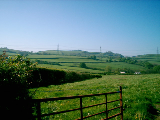
Minke is a small village located in the county of Carmarthenshire, Wales. Situated in the western part of the county, Minke is nestled within the scenic countryside, surrounded by rolling hills and lush green landscapes. It is located approximately 10 miles northwest of the county town of Carmarthen.

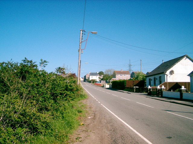
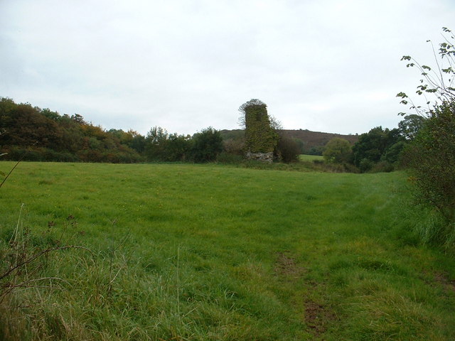
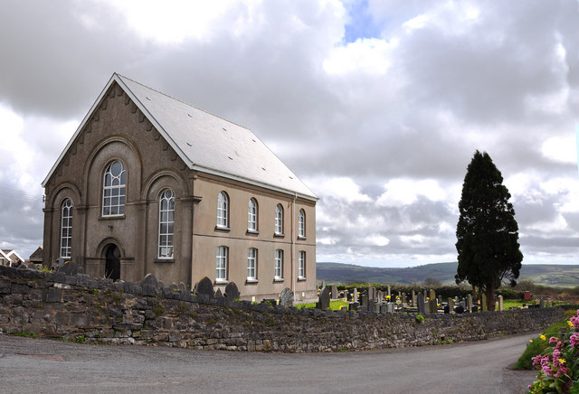
Despite its small size, Minke has a rich history that dates back several centuries. The village is known for its charming and traditional Welsh architecture, with many of its houses and buildings reflecting the local heritage. The community in Minke is tight-knit and friendly, providing a warm and welcoming atmosphere to residents and visitors alike.

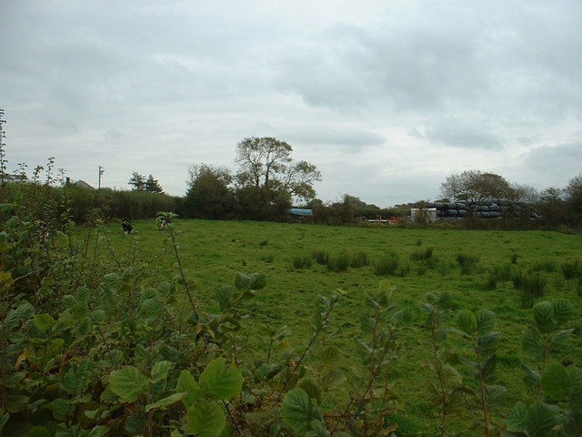
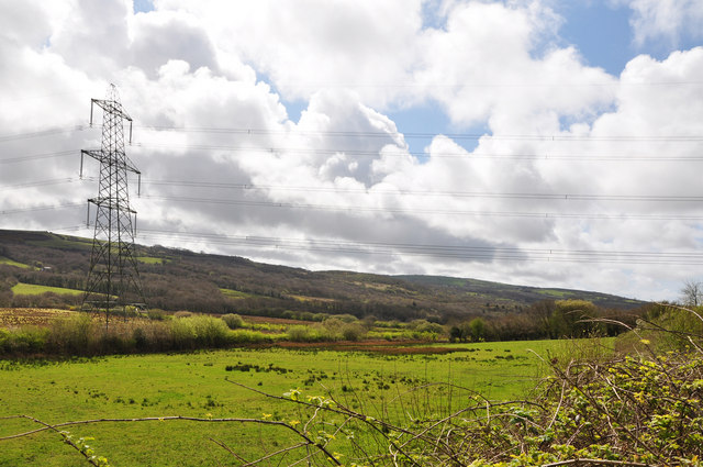
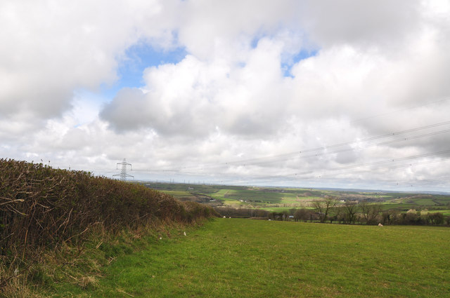
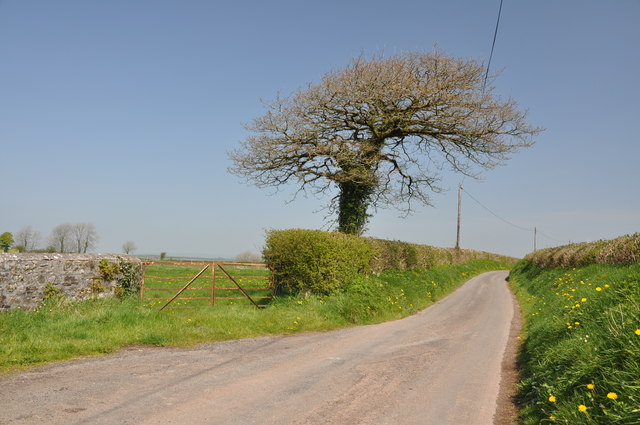
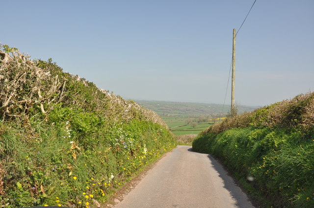
The village offers a peaceful and tranquil environment, making it an ideal place for those seeking a retreat from the bustling city life. The surrounding countryside provides ample opportunities for outdoor activities such as hiking, cycling, and horse riding. Additionally, Minke is in close proximity to several natural attractions, including the famous Brecon Beacons National Park and the stunning coastline of Cardigan Bay.

While Minke may not have a vast array of amenities, it does have a local pub and a small convenience store, ensuring that basic needs are met for the residents. For more extensive shopping and entertainment options, the larger town of Carmarthen is just a short drive away.

Overall, Minke is a picturesque village with a rich history and a strong sense of community. Its idyllic location and peaceful atmosphere make it an appealing destination for those seeking a tranquil rural lifestyle.

If you have any feedback on the listing, please let us know in the comments section below.
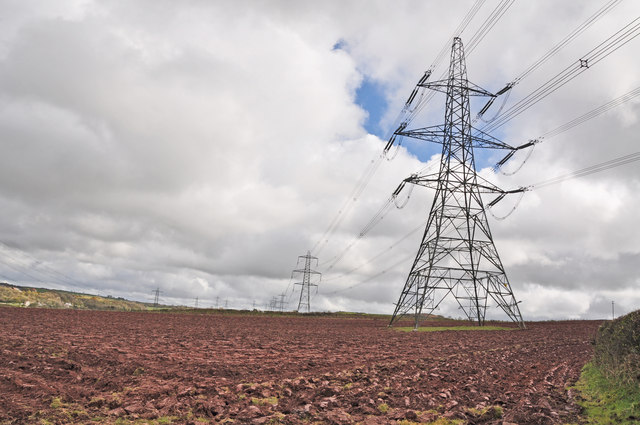
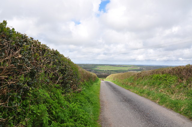
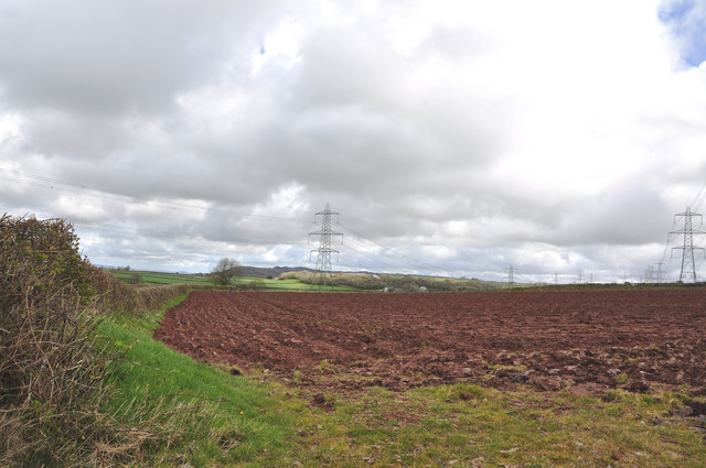
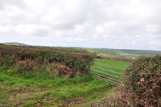
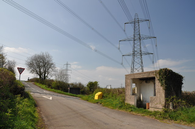
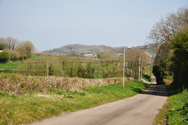
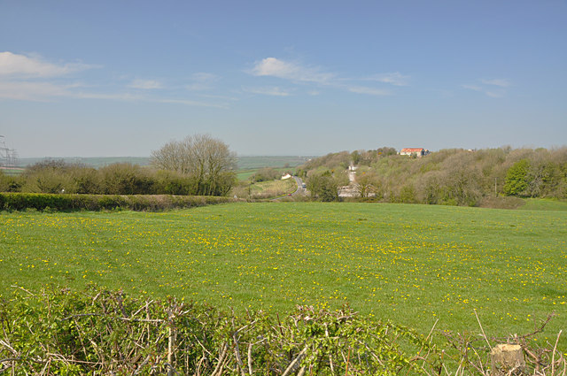
Minke Images

Images are sourced within 2km of 51.77377/-4.229193 or Grid Reference SN4610. Thanks to Geograph Open Source API. All images are credited.

Tirlun Rhwng Pontantwn a Meinciau/Landscape between Pontantwn and Meinciau
Meinciau
Meinciau
The boundary of Meinciau
Pipeline works I think this is the natural gas pipeline which crosses South Wales. Here's an extract from Wikipedia:  "The South Wales Gas Pipeline (also known as the Milford Haven pipeline) is the UK’s largest high-pressure gas pipeline. The 197 mile (316 km) pipeline passing through Wales is built for the National Grid UK and will link liquid natural gas (LNG) terminals at Milford Haven, Pembrokeshire with the national gas network at Tirley, Gloucestershire."
Pipeline works
I think this is the natural gas pipeline which crosses South Wales. Here's an extract from Wikipedia: "The South Wales Gas Pipeline (also known as the Milford Haven pipeline) is the UK’s largest high-pressure gas pipeline. The 197 mile (316 km) pipeline passing through Wales is built for the National Grid UK and will link liquid natural gas (LNG) terminals at Milford Haven, Pembrokeshire with the national gas network at Tirley, Gloucestershire."
Farming at Gwndwn Mawr The farm roof is visible on the left. It's on the opposite side of the road to these bales and equipment.
Farming at Gwndwn Mawr
The farm roof is visible on the left. It's on the opposite side of the road to these bales and equipment.
Remains of Capel Dyddgen
Chapel at Meinciau
Chapel at Meinciau
Approaching Meinciau from the north east
Pylons and ploughed field west of Meinciau
Country road west of Meinciau
Pylons and ploughed field west of Meinciau This view looking to the north east.
Pylons and ploughed field west of Meinciau
This view looking to the north east.
Gateway west of Meinciau
Hedgerow and fields west of Meinciau
Crossroads, bus shelter and pylon north west of Meinciau
Lane north of Meinciau The lane encircles a quarry east of the B4309.
Lane north of Meinciau
The lane encircles a quarry east of the B4309.
View along the line of the B4309 north of Meinciau Buildings associated with the nearby quarry can be seen to the right.
View along the line of the B4309 north of Meinciau
Buildings associated with the nearby quarry can be seen to the right.
Lone tree on lane to Felindre
Lane to Felindre and Trysych Mill
Show me another place!

Minke is located at Grid Ref: SN4610 (Lat: 51.77377, Lng: -4.229193)

Unitary Authority: Carmarthenshire

Police Authority: Dyfed Powys

Also known as: einciau

What 3 Words

///stalemate.rates.windpipe. Near Pontyates, Carmarthenshire

Nearby Locations

Meinciau Minke

Related Wikis

Ponthenry railway station

Ponthenry railway station was opened in 1909 It continued to serve the inhabitants of the Pont-henri area and hinterland between 1909 and 1953; it was...

Coedydd Capel Dyddgen

Coedydd Capel Dyddgen is a Site of Special Scientific Interest in Carmarthen & Dinefwr, Wales. Coedydd Capel Dyddgen is a mosaic of Ash-Hazel woodland...

Pont Henri

Pont Henri (or Ponthenri) is a small rural village in Wales, located in the centre of the Gwendraeth Valley, halfway between the towns of Carmarthen and...

Pontyates

Pontyates (Welsh: Pont-iets) is a village straddling two communities situated in the Gwendraeth Valley halfway between Carmarthen and Llanelli in Carmarthenshire...

Nearby Amenities

Located within 500m of 51.77377,-4.229193
Meinciau
Place: village
Wikidata: Q17488387
Wikipedia: cy:Meinciau
Lat/Long: 51.7737735/-4.2313163
Power: tower
Lat/Long: 51.7759431/-4.2293259
Power: tower
Lat/Long: 51.7727365/-4.2234093
Power: tower
Lat/Long: 51.7767166/-4.2342089
Power: tower
Lat/Long: 51.7740482/-4.2271654
Power: tower
Lat/Long: 51.7754736/-4.2263222
Power: tower
Lat/Long: 51.7754104/-4.231146
Turning Circle
Lat/Long: 51.7742601/-4.2288655
Turning Circle
Lat/Long: 51.7735488/-4.2302961
Turning Circle
Lat/Long: 51.7729956/-4.2328704
Bus Stop
Black Horse
Bus: yes
Naptan AtcoCode: 5220CMA01543
Naptan NaptanCode: crmgtma
Public Transport: platform
Lat/Long: 51.773941/-4.2311453
Power: pole
Lat/Long: 51.7696076/-4.2303184
Power: pole
Lat/Long: 51.770889/-4.2279607
Power: pole
Lat/Long: 51.7720143/-4.2259786
Power: pole
Lat/Long: 51.7729039/-4.2246106
Direction: 175
Generator Method: photovoltaic
Generator Output Electricity: yes
Generator Solar Modules: 4
Generator Source: solar
Generator Type: solar_photovoltaic_panel
Location: roof
Power: generator
Lat/Long: 51.7732641/-4.233073
Direction: WSW
Generator Method: photovoltaic
Generator Output Electricity: yes
Generator Solar Modules: 10
Generator Source: solar
Generator Type: solar_photovoltaic_panel
Location: roof
Power: generator
Lat/Long: 51.7739707/-4.2291395
Direction: WSW
Generator Method: photovoltaic
Generator Output Electricity: yes
Generator Solar Modules: 16
Generator Source: solar
Generator Type: solar_photovoltaic_panel
Location: roof
Power: generator
Lat/Long: 51.7739097/-4.2292643
Direction: 145
Generator Method: photovoltaic
Generator Output Electricity: yes
Generator Solar Modules: 12
Generator Source: solar
Generator Type: solar_photovoltaic_panel
Location: roof
Power: generator
Lat/Long: 51.7735014/-4.2312357
Direction: 125
Generator Method: photovoltaic
Generator Output Electricity: yes
Generator Solar Modules: 14
Generator Source: solar
Generator Type: solar_photovoltaic_panel
Location: roof
Power: generator
Lat/Long: 51.7743561/-4.2315924
Direction: 165
Generator Method: photovoltaic
Generator Output Electricity: yes
Generator Solar Modules: 5
Generator Source: solar
Generator Type: solar_photovoltaic_panel
Location: roof
Power: generator
Lat/Long: 51.7732715/-4.23347
Direction: 165
Generator Method: photovoltaic
Generator Output Electricity: yes
Generator Solar Modules: 16
Generator Source: solar
Generator Type: solar_photovoltaic_panel
Location: roof
Power: generator
Lat/Long: 51.7732329/-4.2337332
Direction: 265
Generator Method: photovoltaic
Generator Output Electricity: yes
Generator Solar Modules: 10
Generator Source: solar
Generator Type: solar_photovoltaic_panel
Location: roof
Power: generator
Lat/Long: 51.7733105/-4.2331126
Direction: 255
Generator Method: photovoltaic
Generator Output Electricity: yes
Generator Solar Modules: 16
Generator Source: solar
Generator Type: solar_photovoltaic_panel
Location: roof
Power: generator
Lat/Long: 51.7694483/-4.2277542
Bus Stop
Black Horse
Bus: yes
Naptan AtcoCode: 5220CMA01544
Naptan NaptanCode: crmgtmd
Public Transport: platform
Lat/Long: 51.7738022/-4.2312829
Generator Method: photovoltaic
Generator Output Electricity: yes
Generator Source: solar
Generator Type: solar_photovoltaic_panel
Location: roof
Power: generator
Lat/Long: 51.7740594/-4.2287963
Give Way
Lat/Long: 51.7734906/-4.2320275
The data included in this document is from www.openstreetmap.org. The data is made available under ODbL.

Have you been to Minke?

Leave your review of Minke below (or comments, questions and feedback).