10 High Street, Tutbury
Heritage Site in Staffordshire East Staffordshire
England
10 High Street, Tutbury
10 High Street, Tutbury, Staffordshire is a historic heritage site located in the charming village of Tutbury. This Grade II listed building dates back to the early 19th century and is an exquisite example of Georgian architecture. It is situated in a prime location, nestled among other well-preserved historical buildings.
The exterior of 10 High Street boasts a stunning symmetrical facade with large sash windows and a grand entrance door. The building is constructed of local red brick, adding to its distinctive charm. The original slate roof remains intact, reflecting the architectural style of the era.
The interior of the building has been carefully restored to retain its period features, offering visitors a glimpse into the past. The ground floor consists of a spacious entrance hall, adorned with an elegant staircase leading to the upper levels. The rooms are generously proportioned, featuring high ceilings, ornate cornices, and original fireplaces.
Over the years, 10 High Street has served various purposes. It was once a thriving family home, before being transformed into a shop and later utilized as office space. The heritage site now operates as a museum, showcasing the history and heritage of Tutbury and its surrounding areas.
Visitors to 10 High Street can expect a captivating journey through time, with exhibitions and displays that highlight the village's rich heritage. The museum also hosts educational programs and events, making it an engaging destination for both locals and tourists alike.
In conclusion, 10 High Street, Tutbury, Staffordshire is a remarkable heritage site that encapsulates the essence of Georgian architecture. With its well-preserved exterior and restored interior, it offers a unique opportunity to explore the history and culture of this charming village.
If you have any feedback on the listing, please let us know in the comments section below.
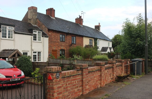
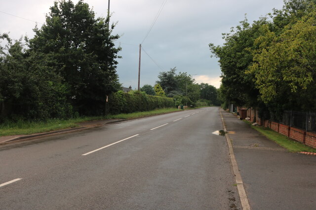
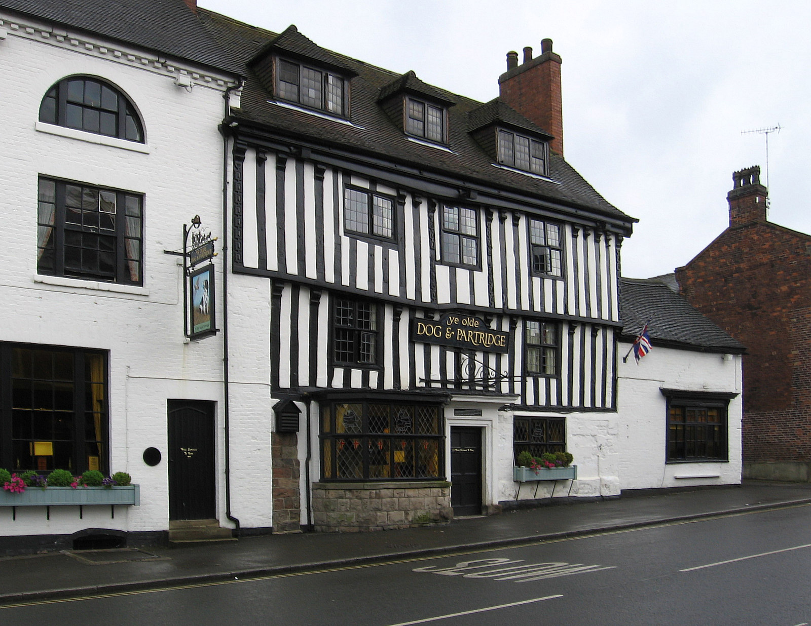
10 High Street, Tutbury Images
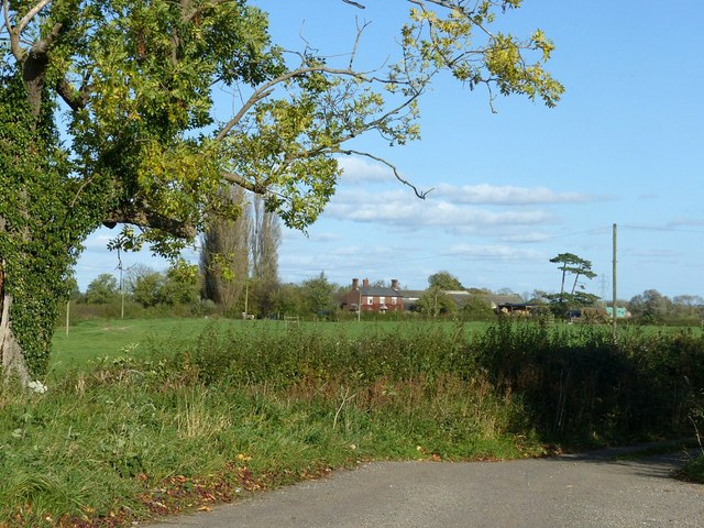
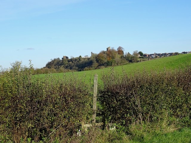
Images are sourced within 2km of 52.858/-1.685 or Grid Reference SK2128. Thanks to Geograph Open Source API. All images are credited.
10 High Street, Tutbury is located at Grid Ref: SK2128 (Lat: 52.858, Lng: -1.685)
Administrative County: Staffordshire
District: East Staffordshire
Police Authority: Staffordshire
What 3 Words
///bribing.backpacks.vocal. Near Burton upon Trent, Staffordshire
Nearby Locations
Related Wikis
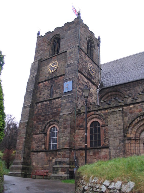
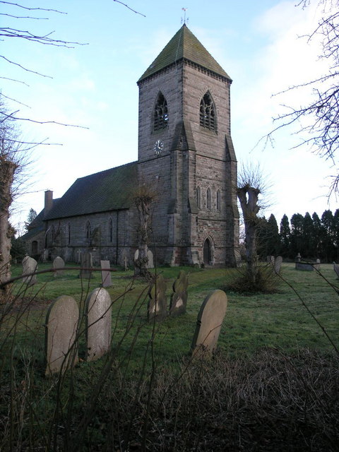
St Mary's Church, Tutbury
St Mary's Church, Tutbury, is a Grade I listed parish church in the Church of England in Tutbury, Staffordshire. == History == The West front of the church...

Tutbury Castle
Tutbury Castle is a largely ruined medieval castle at Tutbury, Staffordshire, England, in the ownership of the Duchy of Lancaster and hence currently of...
Tutbury
Tutbury is a village and civil parish in Staffordshire, England. It is 4 miles (6.4 km) north of Burton upon Trent and 20 miles (32 km) south of the Peak...
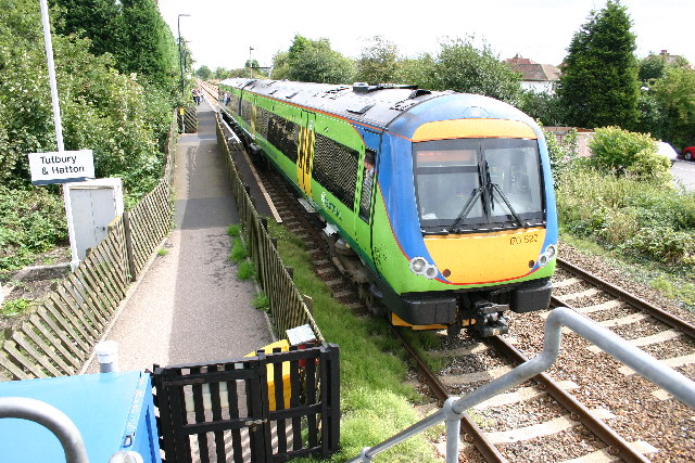
Tutbury and Hatton railway station
Tutbury and Hatton Station is a railway station in England, served by trains on the Crewe to Derby Line, which is a Community rail line known as the North...
Hatton, Derbyshire
Hatton is a village and civil parish in South Derbyshire, England. It is 4.5 miles (7.2 km) north of Burton upon Trent, 9.5 miles (15.3 km) south-west...

Scropton Tramway
The Scropton Tramway was a British industrial 3 ft (914 mm) narrow gauge railway connecting several gypsum mines with the North Staffordshire Railway station...

St Mary's Church, Marston on Dove
St Mary's Church, Marston on Dove is a Grade I listed parish church in the Church of England in Marston on Dove, Derbyshire. == History == The church dates...
Foston and Scropton
Foston and Scropton is a civil parish in the Dove valley in South Derbyshire. It includes the village of Scropton and hamlet of Foston. The population...
Nearby Amenities
Located within 500m of 52.858,-1.685Have you been to 10 High Street, Tutbury?
Leave your review of 10 High Street, Tutbury below (or comments, questions and feedback).