1 Pine Avenue
Heritage Site in Hampshire
England
1 Pine Avenue
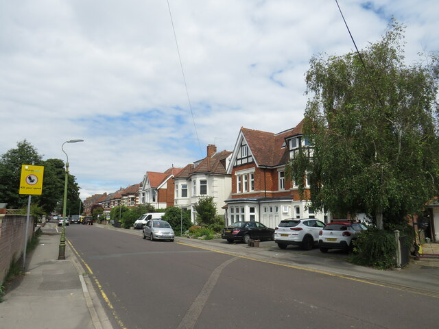
1 Pine Avenue, Hampshire is a distinguished heritage site located in the heart of Hampshire County, England. This historic property is nestled amidst picturesque surroundings, boasting extensive gardens and lush greenery. The site is renowned for its architectural significance, embodying the distinctive characteristics of Georgian design.
1 Pine Avenue is a two-story brick house, showcasing a symmetrical facade adorned with large sash windows and a central entranceway. The property's exterior is adorned with ornate details, including decorative cornices, pilasters, and a pediment above the entrance. The house is flanked by well-manicured gardens, featuring a variety of indigenous plants and trees, which contribute to the overall charm of the site.
The interior of the house reflects the elegance and grandeur of the Georgian era. The ground floor consists of a spacious entrance hall leading to several reception rooms. These rooms are decorated with intricate plasterwork, ornate fireplaces, and original wooden paneling. The upper floor accommodates a series of bedrooms, each boasting high ceilings and large windows that allow ample natural light to permeate the rooms.
1 Pine Avenue has been meticulously preserved and restored over the years to maintain its historical integrity. The site offers visitors a unique glimpse into the opulent lifestyle of the Georgian period, providing a valuable insight into architectural and design trends of the time.
Today, 1 Pine Avenue serves as a testament to Hampshire's rich heritage, attracting tourists and history enthusiasts alike. Its impressive architecture, combined with its idyllic surroundings, makes it a must-visit destination for anyone seeking to immerse themselves in the region's past.
If you have any feedback on the listing, please let us know in the comments section below.
1 Pine Avenue Images
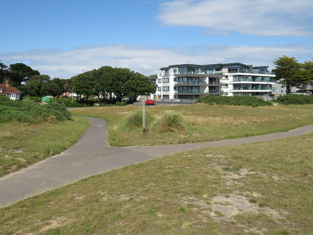
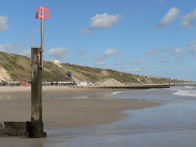
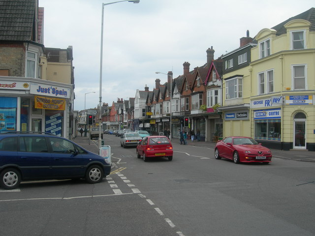
Images are sourced within 2km of 50.725/-1.818 or Grid Reference SZ1291. Thanks to Geograph Open Source API. All images are credited.

1 Pine Avenue is located at Grid Ref: SZ1291 (Lat: 50.725, Lng: -1.818)
What 3 Words
///flags.impact.pass. Near Christchurch, Dorset
Nearby Locations
Related Wikis
Fisherman's Walk Cliff Railway
The Fisherman's Walk Cliff Railway, or Southbourne Cliff Railway, is a funicular railway in Southbourne, a seaside suburb of the English seaside resort...
Pokesdown
Pokesdown is a suburb of Bournemouth in Dorset, England. It lies just east of Boscombe and west of Southbourne. == History == Evidence of human occupation...
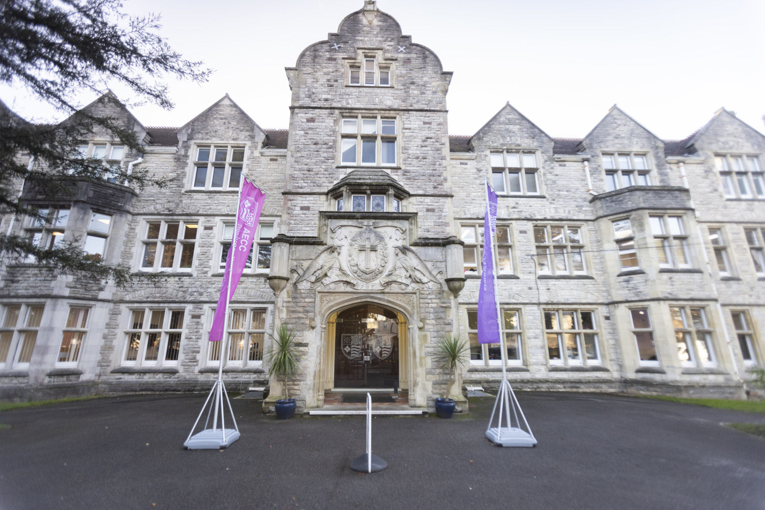
AECC University College
AECC University College is a specialist university in Bournemouth that offers undergraduate, postgraduate, and short courses in a range of health sciences...

Pokesdown railway station
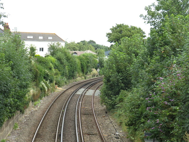
Pokesdown railway station serves the Pokesdown, Boscombe and Southbourne areas of Bournemouth in Dorset, England. It is on the South West Main Line, 106...

Corpus Christi Church, Boscombe
Corpus Christi Church is a Roman Catholic church in Boscombe, on the outskirts of Bournemouth in Dorset. It was founded by Baroness Pauline von Hugel and...

Bournemouth East (UK Parliament constituency)
Bournemouth East is a parliamentary constituency in Dorset represented in the House of Commons of the UK Parliament since 2005 by Tobias Ellwood, a Conservative...
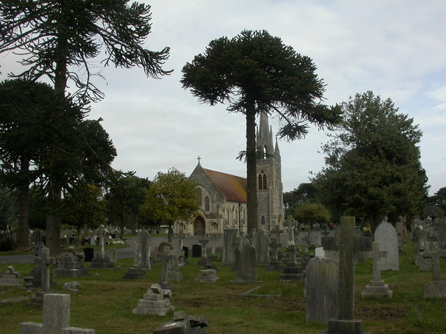
Bournemouth East Cemetery
Bournemouth East Cemetery (formerly known as Boscombe Cemetery) is a municipal cemetery in Boscombe, Bournemouth, England. In 1982, the chapels were grade...
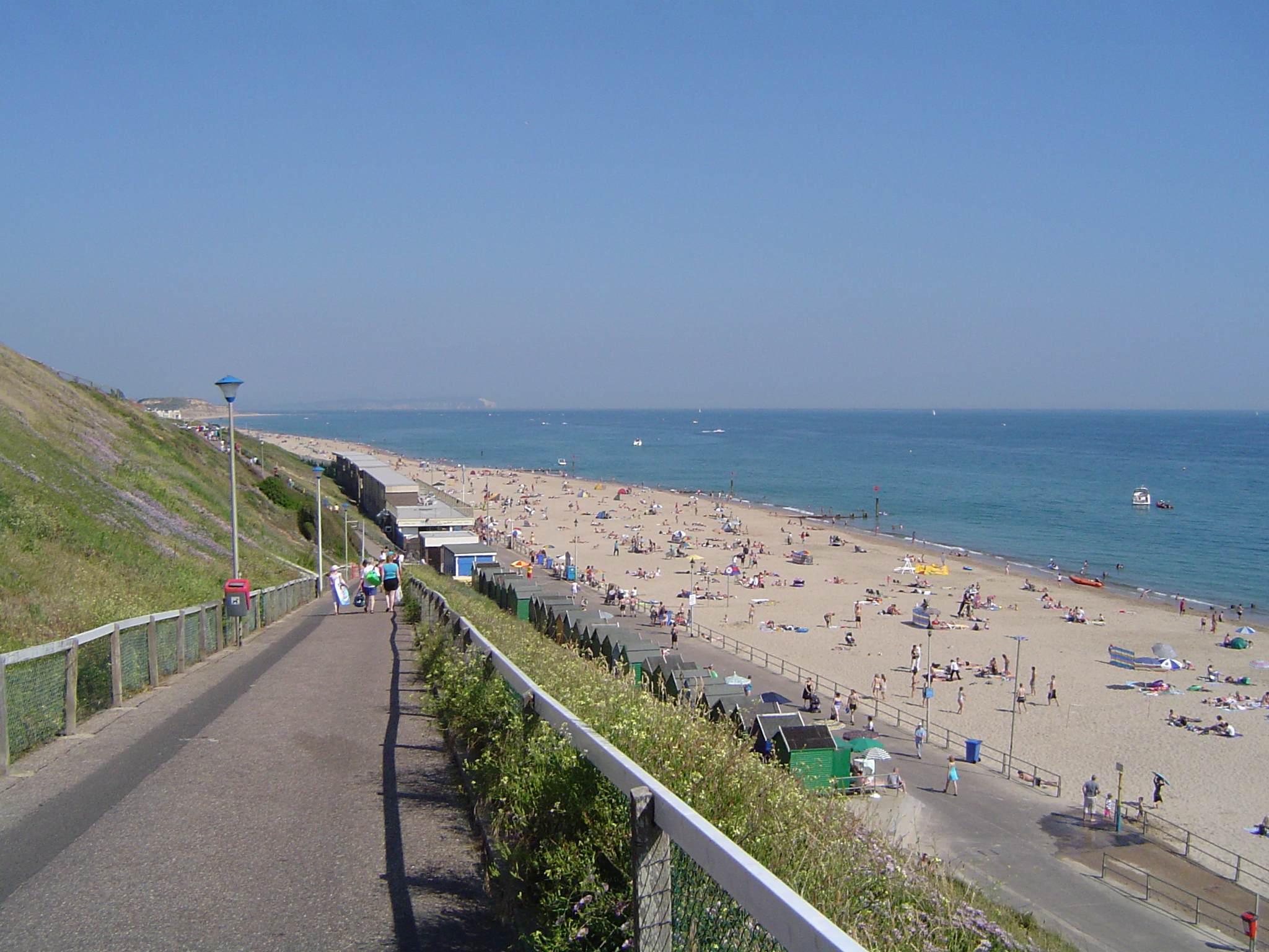
Southbourne, Dorset
Southbourne is a suburb of Bournemouth in Dorset, England. It is situated between Boscombe and Christchurch, in the unitary authority of Bournemouth, Christchurch...
Nearby Amenities
Located within 500m of 50.725,-1.818Have you been to 1 Pine Avenue?
Leave your review of 1 Pine Avenue below (or comments, questions and feedback).