St Martin's
Settlement in Northamptonshire South Kesteven
England
St Martin's
St Martin's is a small village located in the county of Northamptonshire, England. Situated in the southern part of the county, it lies approximately 5 miles southwest of the town of Northampton. The village is nestled in a rural landscape, surrounded by rolling countryside and picturesque farmland.
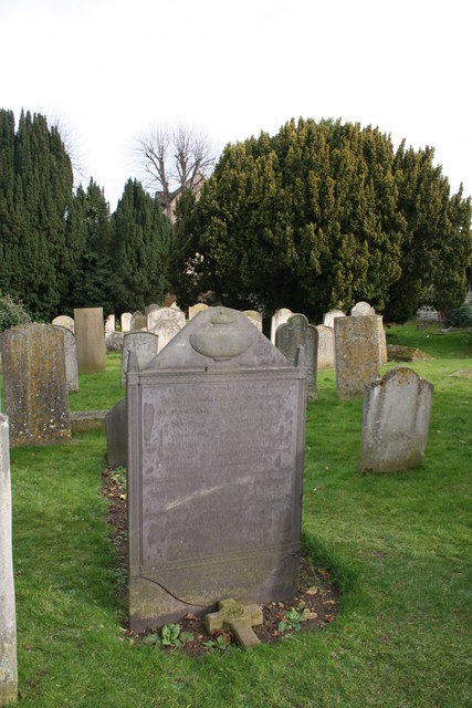
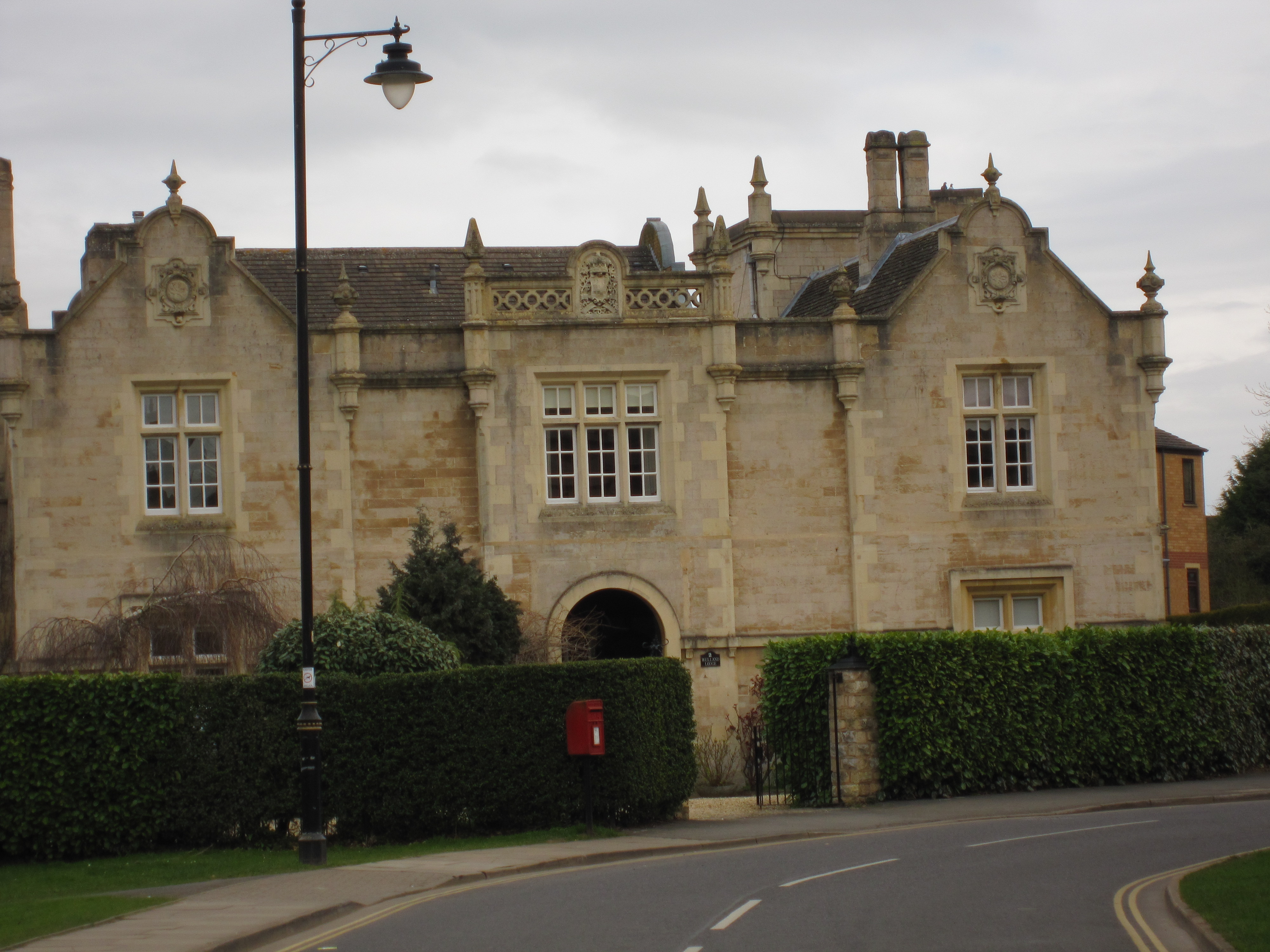
The origins of St Martin's can be traced back to ancient times, with evidence of human settlement in the area dating back to the Iron Age. The village itself has a rich history, with several historic buildings and landmarks that showcase its past. One notable feature is the St Martin's Church, a Grade II listed building that dates back to the 13th century. The church is known for its beautiful architecture and is a popular attraction for visitors.
Despite its small size, St Martin's offers a range of amenities and facilities for its residents. There is a local primary school that serves the village and surrounding areas, providing education for young children. The village also has a community center, which serves as a hub for social activities and events.
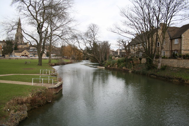
The surrounding countryside provides ample opportunities for outdoor pursuits, with walking and cycling trails crisscrossing the area. The nearby River Nene offers fishing and boating opportunities, attracting nature enthusiasts and anglers alike.
Overall, St Martin's is a charming village that offers a peaceful and idyllic setting for its residents. With its rich history, natural beauty, and community spirit, it is a place that captures the essence of rural England.
If you have any feedback on the listing, please let us know in the comments section below.
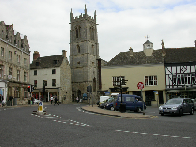
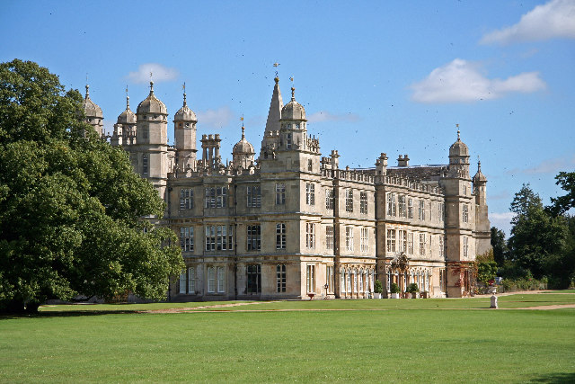
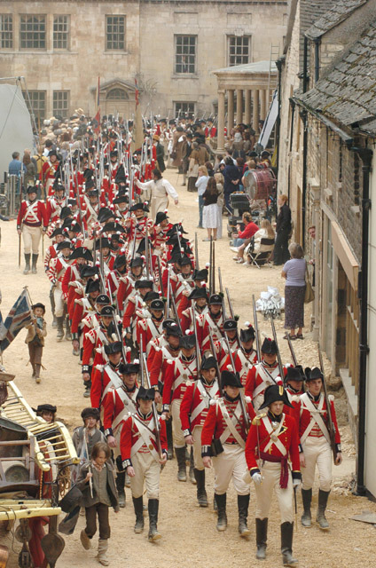
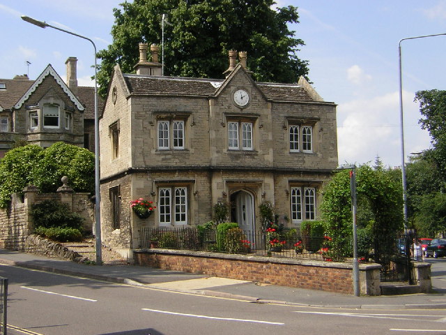
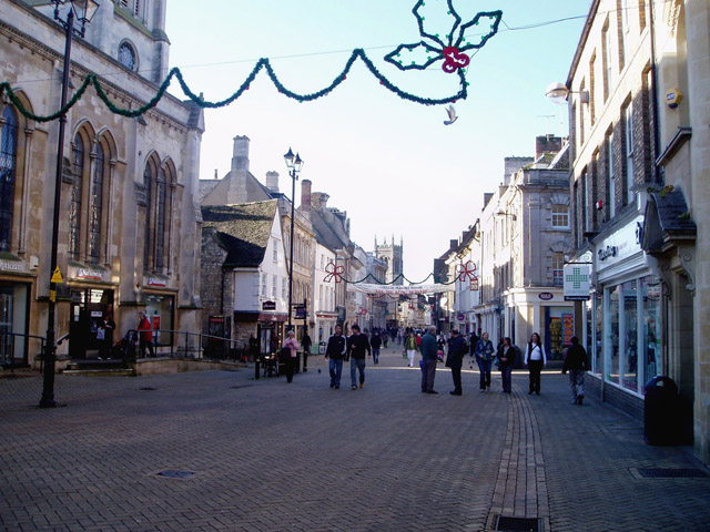
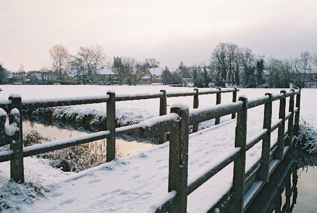
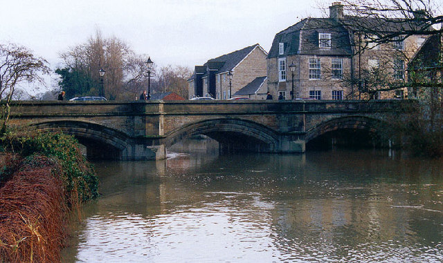
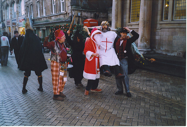
St Martin's Images
Images are sourced within 2km of 52.6488/-0.4775 or Grid Reference TF0306. Thanks to Geograph Open Source API. All images are credited.


St Martin's is located at Grid Ref: TF0306 (Lat: 52.6488, Lng: -0.4775)
Division: Soke of Peterborough
Administrative County: Lincolnshire
District: South Kesteven
Police Authority: Lincolnshire
What 3 Words
///spin.gains.tens. Near Stamford, Lincolnshire
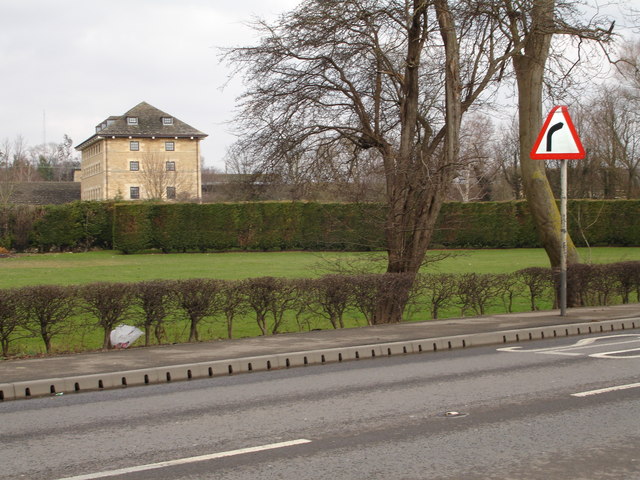
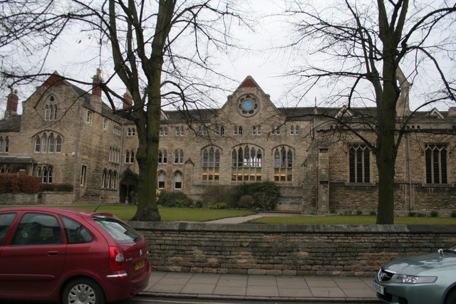
Nearby Locations
Related Wikis
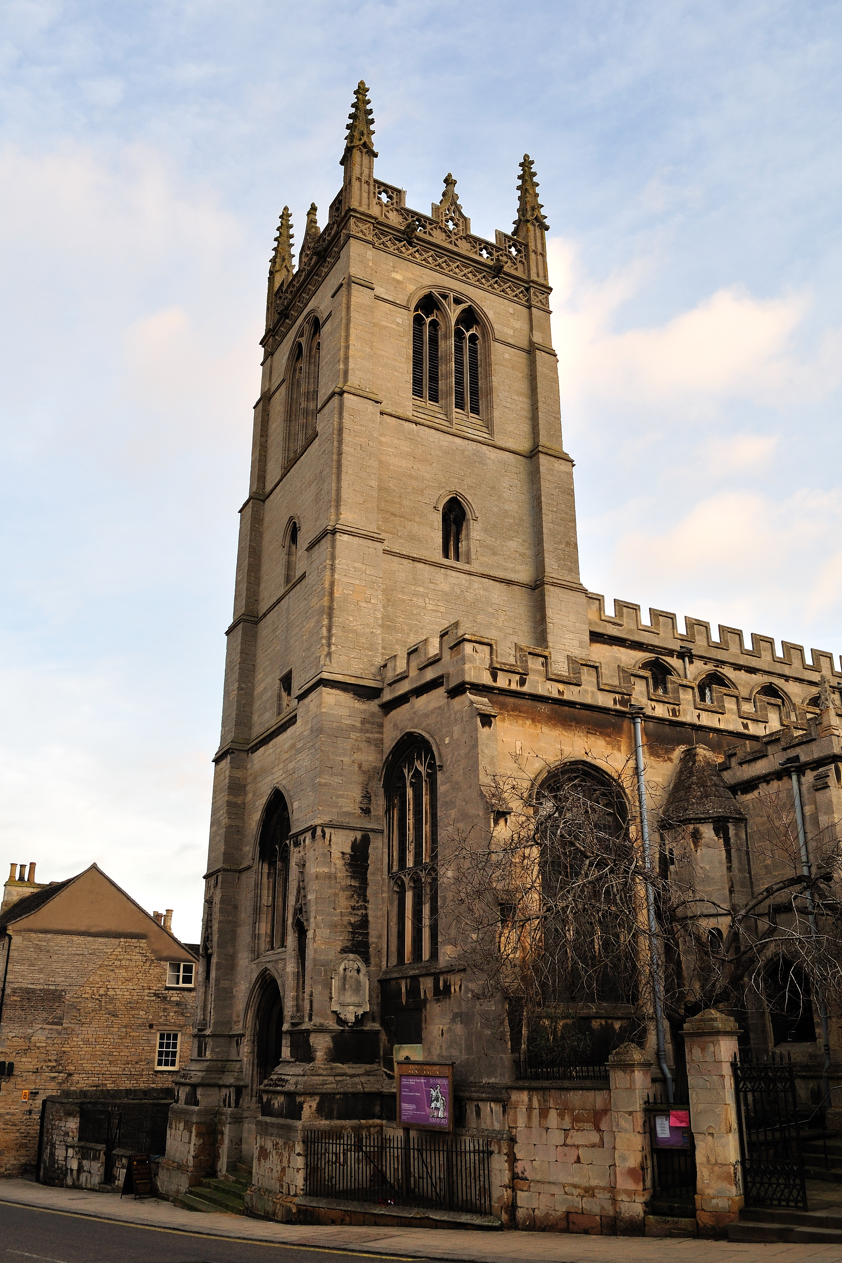
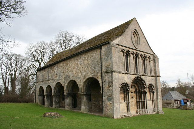
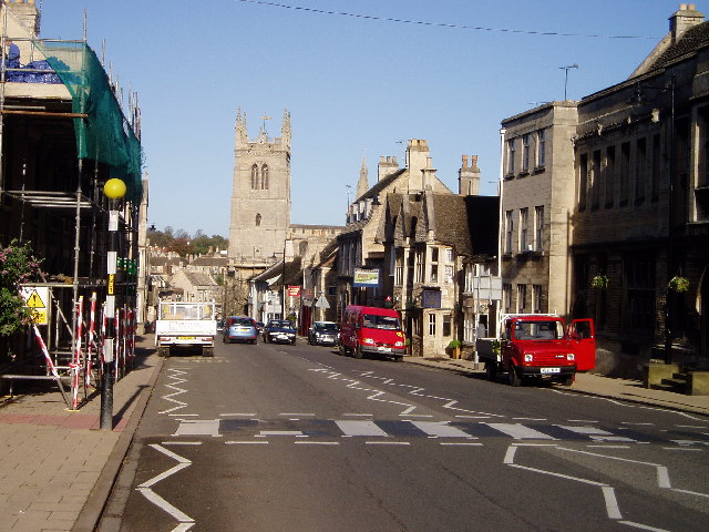
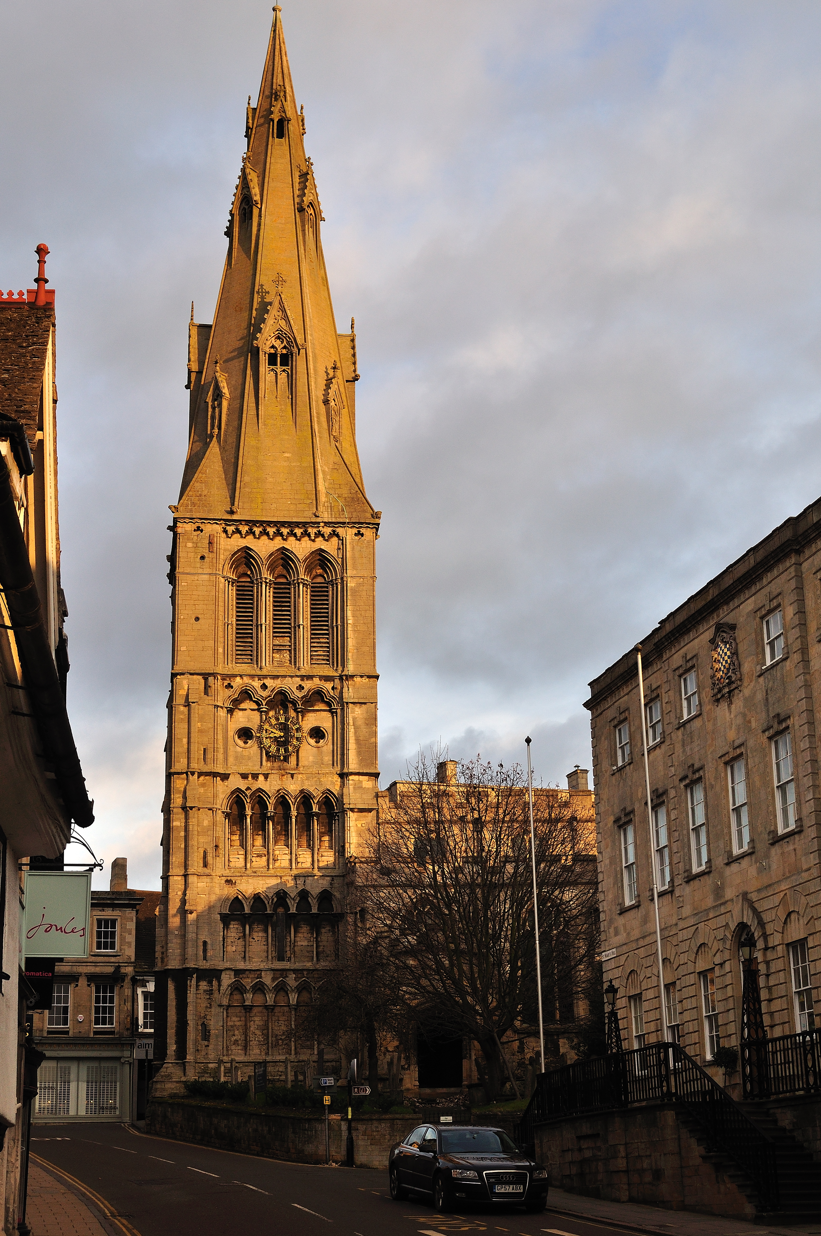
St Martin's Church, Stamford
St Martin's Church, Stamford, is a Grade I listed parish church in the Church of England located in Stamford, Lincolnshire, England. The area of the town...
Stamford Baron St Martin
Stamford Baron St Martin was a civil parish in Stamford, England, including the southern part of Stamford, south of the River Welland, and therefore historically...

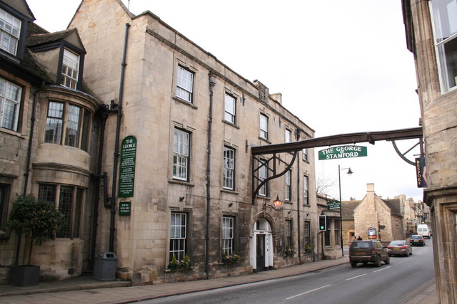
George Hotel, Stamford
The George Hotel is a hotel and former coaching inn on the route of the Great North Road in St Martin's, Stamford, Lincolnshire, England. The hotel itself...

Stamford railway station
Stamford railway station serves the town of Stamford in Lincolnshire, England, and is located in St Martin's. The station is 12.5 miles (20 km) west of...
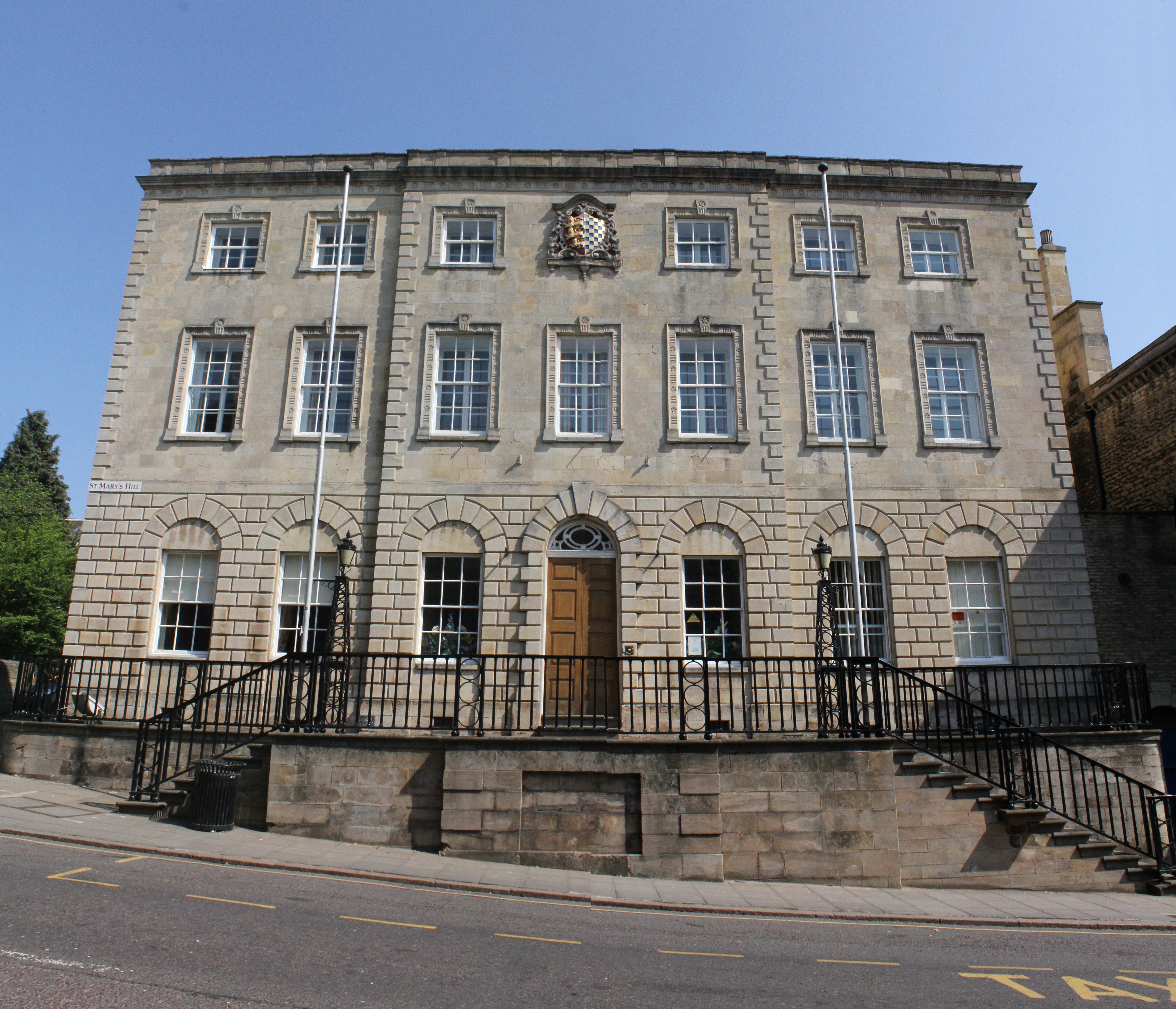
Stamford Town Hall
Stamford Town Hall is a municipal building in St Mary's Hill, Stamford, Lincolnshire, England. The building, which is the headquarters of Stamford Town...
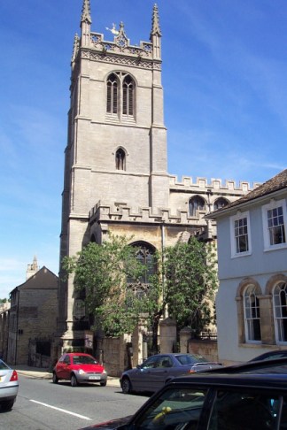
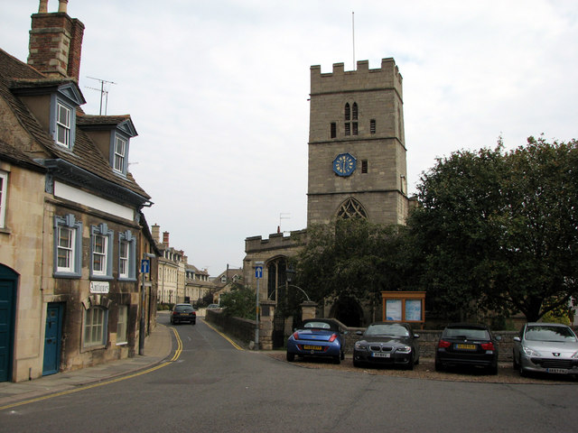
St Mary's Church, Stamford
St Mary's Church, Stamford is a parish church of the Church of England, located in Stamford, Lincolnshire, lending its name to St Mary's Hill (part of...
St George's Church, Stamford
St George's Church is a Grade I listed building in Stamford, Lincolnshire, England. == History == A major benefactor of the church was William Bruges...
Stamford East railway station
Stamford East railway station was the Stamford and Essendine Railway station in Water Street, Stamford, Lincolnshire. The line was worked by the Great...
Nearby Amenities
Located within 500m of 52.6488,-0.4775Have you been to St Martin's?
Leave your review of St Martin's below (or comments, questions and feedback).