Tutbury
Settlement in Staffordshire East Staffordshire
England
Tutbury
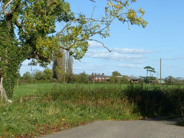
Tutbury is a small village located in the county of Staffordshire, England. Situated on the banks of the River Dove, it is surrounded by picturesque countryside and has a population of around 3,000 people.
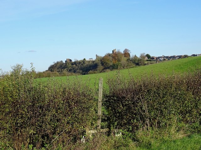
The village is renowned for its historical significance, with its origins dating back to medieval times. Tutbury Castle, a prominent landmark, dominates the skyline and serves as a reminder of the area's rich heritage. The castle was once a royal residence and has witnessed significant events throughout history, including visits from several English monarchs.
Tutbury is also famous for its annual Tutbury Castle Country Fair, which attracts visitors from all over the country. The fair features a variety of attractions, including medieval reenactments, craft stalls, and traditional food and drink.
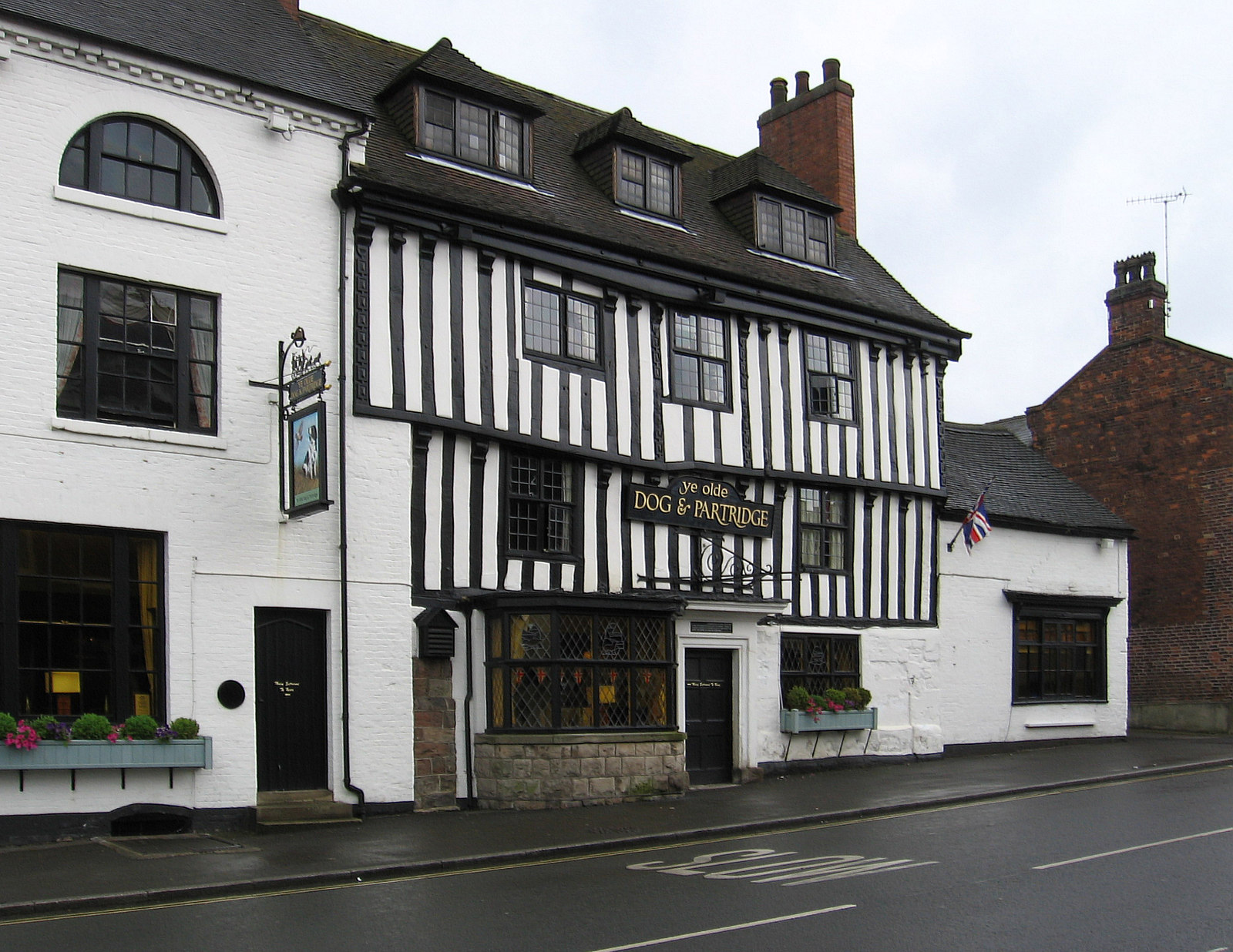
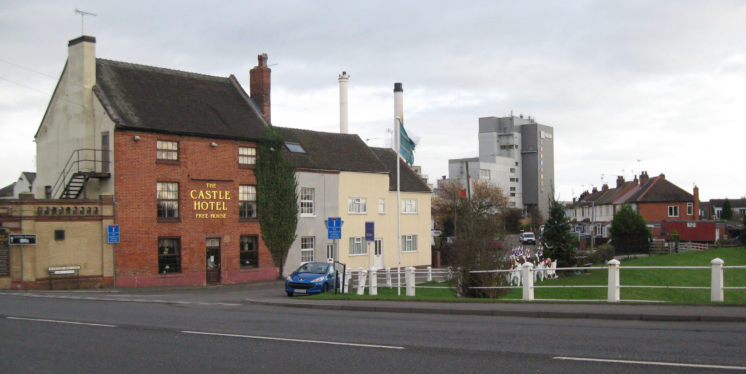
In addition to its historical charm, Tutbury offers a range of amenities and facilities for residents and visitors alike. The village has a number of shops, pubs, and restaurants, providing a vibrant local community. It also boasts a primary school, a village hall, and a cricket club, contributing to its sense of community spirit.
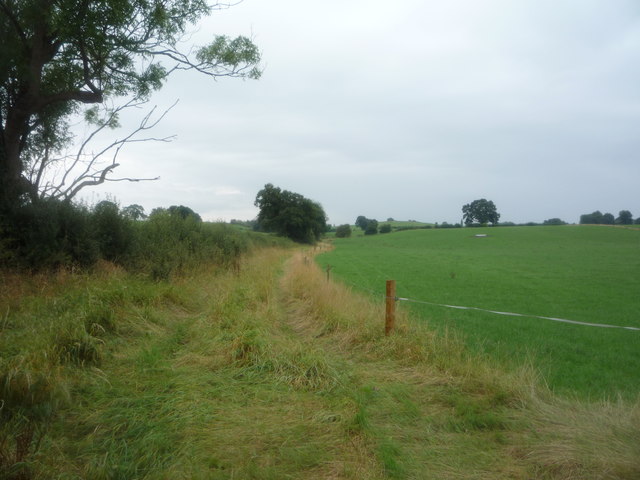
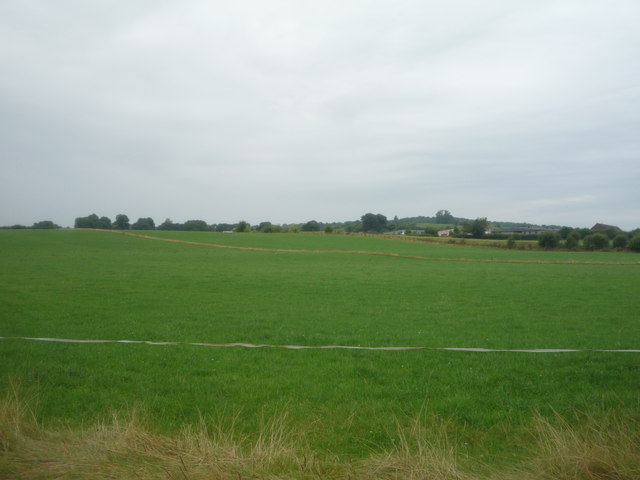
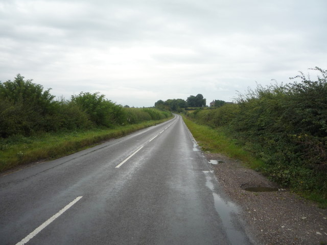
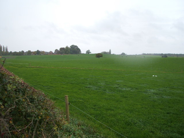
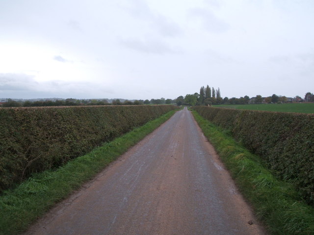
The village's location near the River Dove makes it a popular destination for outdoor enthusiasts. The surrounding countryside offers opportunities for walking, hiking, and fishing, with the nearby Tutbury Mill providing a picturesque backdrop.
Overall, Tutbury is a charming village with a rich history, offering a blend of cultural heritage and natural beauty.
If you have any feedback on the listing, please let us know in the comments section below.
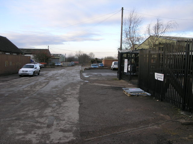
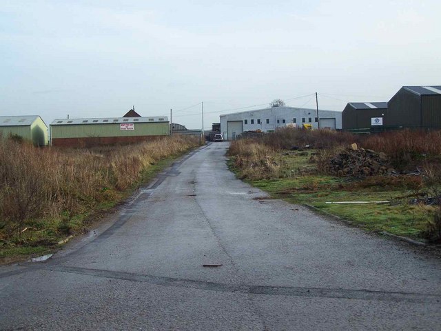
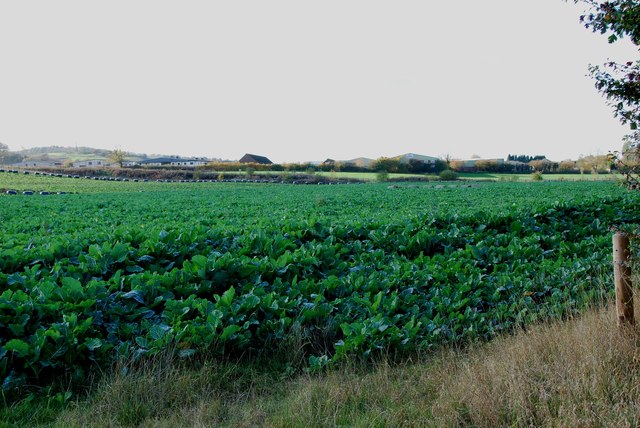
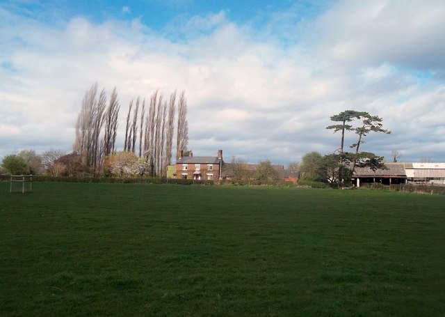
Tutbury Images
Images are sourced within 2km of 52.856823/-1.686316 or Grid Reference SK2128. Thanks to Geograph Open Source API. All images are credited.


Tutbury is located at Grid Ref: SK2128 (Lat: 52.856823, Lng: -1.686316)
Administrative County: Staffordshire
District: East Staffordshire
Police Authority: Staffordshire
What 3 Words
///measures.crockery.acrobats. Near Burton upon Trent, Staffordshire
Nearby Locations
Related Wikis
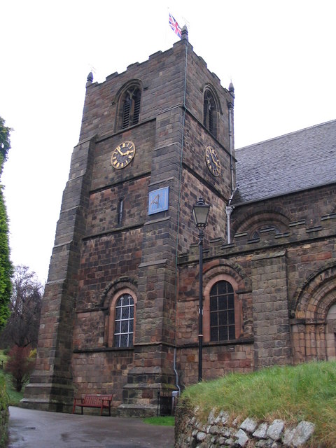
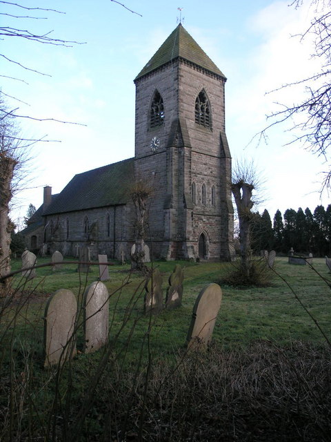
St Mary's Church, Tutbury
St Mary's Church, Tutbury, is a Grade I listed parish church in the Church of England in Tutbury, Staffordshire. == History == The West front of the church...
Tutbury
Tutbury is a village and civil parish in Staffordshire, England. It is 4 miles (6.4 km) north of Burton upon Trent and 20 miles (32 km) south of the Peak...

Tutbury Castle
Tutbury Castle is a largely ruined medieval castle at Tutbury, Staffordshire, England, in the ownership of the Duchy of Lancaster and hence currently of...
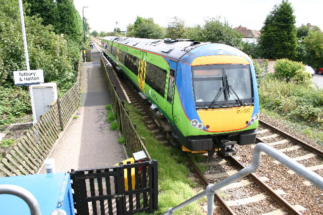
Tutbury and Hatton railway station
Tutbury and Hatton Station is a railway station in England, served by trains on the Crewe to Derby Line, which is a Community rail line known as the North...
Hatton, Derbyshire
Hatton is a village and civil parish in South Derbyshire, England. It is 4.5 miles (7.2 km) north of Burton upon Trent, 9.5 miles (15.3 km) south-west...

Scropton Tramway
The Scropton Tramway was a British industrial 3 ft (914 mm) narrow gauge railway connecting several gypsum mines with the North Staffordshire Railway station...
Foston and Scropton
Foston and Scropton is a civil parish in the Dove valley in South Derbyshire. It includes the village of Scropton and hamlet of Foston. The population...

St Mary's Church, Marston on Dove
St Mary's Church, Marston on Dove is a Grade I listed parish church in the Church of England in Marston on Dove, Derbyshire. == History == The church dates...
Nearby Amenities
Located within 500m of 52.856823,-1.686316Have you been to Tutbury?
Leave your review of Tutbury below (or comments, questions and feedback).