Woolvershill Batch

Settlement in Somerset

England

Woolvershill Batch

Elborough Housing Park House built on the old site of Bristol Aerojets engineering works.
Elborough Housing Park Credit: Adrian and Janet Quantock

Woolvershill Batch is a small rural village located in the county of Somerset, England. Situated on the southern slopes of the Mendip Hills, it enjoys a picturesque setting with stunning views of the surrounding countryside. The village is part of the Sedgemoor district and falls within the civil parish of Mark.

The area is known for its rich agricultural heritage, with fertile farmland dominating the landscape. Woolvershill Batch itself is characterized by a cluster of quaint cottages and farmhouses, showcasing traditional Somerset architecture. The village is home to a close-knit community that prides itself on its strong sense of community spirit.

Despite its small size, Woolvershill Batch offers a range of amenities to its residents. The village boasts a local pub, which serves as a social hub and meeting place for both locals and visitors alike. Additionally, there is a primary school within close proximity, catering to the educational needs of the village's younger population.

The surrounding countryside provides ample opportunities for outdoor activities and exploration. The Mendip Hills, with their extensive network of footpaths and bridleways, are perfect for hikers, cyclists, and horse riders. The nearby Cheddar Gorge, with its dramatic limestone cliffs and caves, is a popular tourist attraction and offers opportunities for rock climbing and cave exploration.

Overall, Woolvershill Batch is a charming rural village that offers a tranquil and idyllic lifestyle amidst the rolling hills of Somerset.

If you have any feedback on the listing, please let us know in the comments section below.

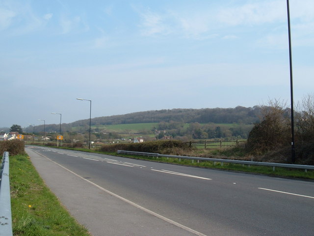
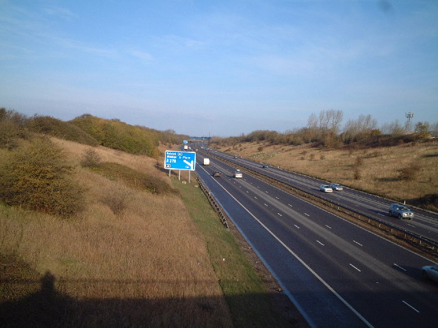
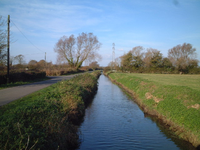
Woolvershill Batch Images

Images are sourced within 2km of 51.3405/-2.8874238 or Grid Reference ST3860. Thanks to Geograph Open Source API. All images are credited.

Elborough Housing Park House built on the old site of Bristol Aerojets engineering works.
Elborough Housing Park
House built on the old site of Bristol Aerojets engineering works.
Hillend Farm Hillend farm with Benthills wood in the background.
Hillend Farm
Hillend farm with Benthills wood in the background.
Caves Banwell Bone Caves. See <span class="nowrap"><a title="http://en.wikipedia.org/wiki/Banwell_Caves" rel="nofollow ugc noopener" href="http://en.wikipedia.org/wiki/Banwell_Caves">Link</a><img style="margin-left:2px;" alt="External link" title="External link - shift click to open in new window" src="https://s1.geograph.org.uk/img/external.png" width="10" height="10"/></span>
Caves
Banwell Bone Caves. See LinkExternal link
Summer Lane Near Banwell
Summer Lane
Near Banwell
Traffic in West Street Banwell Why Banwell needs a bypass!
Traffic in West Street Banwell
Why Banwell needs a bypass!
Field by Hutton and Locking Rhyne From a bend in the lane past Elborough. The rhyne runs along the left side of this field.
Field by Hutton and Locking Rhyne
From a bend in the lane past Elborough. The rhyne runs along the left side of this field.
Cottages  at Knightcott Near Banwell North Somerset The remnants of last years sweet corn harvest A bit that they missed the Cottages in the distance are  just before Bolters Agricultural Merchants
Cottages at Knightcott Near Banwell North Somerset
The remnants of last years sweet corn harvest A bit that they missed the Cottages in the distance are just before Bolters Agricultural Merchants
M5 northbound about to go under the A371
Greenfield Avenue, Banwell This road runs north off High St down the steep hillside on which the village is built.It is on the very eastern edge of the grid square.
Greenfield Avenue, Banwell
This road runs north off High St down the steep hillside on which the village is built.It is on the very eastern edge of the grid square.
M5 near Whitley Head, looking towards Bristol
The A371 Weston to Wells road Here is a view looking over the A371 towards Banwell Hill.
The A371 Weston to Wells road
Here is a view looking over the A371 towards Banwell Hill.
Banwell Tower A Grade II listed building, 59 foot tall and built in 1840.  It is open to the public on Heritage Open Days (about 4 times a year).
Banwell Tower
A Grade II listed building, 59 foot tall and built in 1840. It is open to the public on Heritage Open Days (about 4 times a year).
Banwell Pebble Summerhouse A 19th century folly built by the Bishop of Bath and Wells.
Banwell Pebble Summerhouse
A 19th century folly built by the Bishop of Bath and Wells.
M5 junction sign for Weston Super Mare, junction 21
View from Court Farm Tower in the background is part of the former RAF Locking Camp.
View from Court Farm
Tower in the background is part of the former RAF Locking Camp.
Locking Castle Golf Course
Show me another place!

Woolvershill Batch is located at Grid Ref: ST3860 (Lat: 51.3405, Lng: -2.8874238)

Unitary Authority: North Somerset

Police Authority: Avon and Somerset

What 3 Words

///equivocal.dripping.immunity. Near Banwell, Somerset

Related Wikis

LeisureDome, Weston-super-Mare

LeisureDome was a proposed indoor ski slope for Weston-super-Mare, Somerset, England. It was to be located on the site of the former RAF Locking, which...

RAF Locking

RAF Locking was a Royal Air Force station near the village of Locking and about 3 miles (4.8 km) from Weston-super-Mare in North Somerset, England. During...

Banwell Caves

Banwell Caves (grid reference ST383588) are a 1.7-hectare geological and biological Site of Special Scientific Interest near the village of Banwell, North...

Locking Castle

Locking Castle was a castle that once stood on Carberry Hill near the site of RAF Locking in Locking in the North Somerset district of Somerset, England...

Nearby Amenities

Located within 500m of 51.3405,-2.8874238
Post Box
Ref: BS29 162
Lat/Long: 51.3402736/-2.8875305
Power: pole
Source: Bing
Lat/Long: 51.3443596/-2.8893734
Power: pole
Source: Bing
Lat/Long: 51.338396/-2.8927912
Power: pole
Source: Bing
Lat/Long: 51.3397746/-2.8913542
Power: pole
Source: Bing
Lat/Long: 51.3386733/-2.8935181
Power: pole
Source: Bing
Lat/Long: 51.3437774/-2.8885915
Power: pole
Source: Bing
Lat/Long: 51.3410878/-2.8900259
Power: pole
Source: Bing
Lat/Long: 51.3431911/-2.8877965
Power: pole
Source: Bing
Lat/Long: 51.34356/-2.8869492
Power: pole
Source: Bing
Lat/Long: 51.340413/-2.8906911
Power: pole
Source: Bing
Lat/Long: 51.341735/-2.8893064
Power: pole
Source: Bing
Lat/Long: 51.3424631/-2.8885543
Power: pole
Source: Bing
Lat/Long: 51.3439269/-2.8861065
Power: pole
Source: Bing
Lat/Long: 51.3390122/-2.8921455
Power: pole
Source: Bing
Lat/Long: 51.3370635/-2.8878942
Power: pole
Source: Bing
Lat/Long: 51.3380441/-2.891876
Power: pole
Source: Bing
Lat/Long: 51.3367932/-2.88579
Power: pole
Source: Bing
Lat/Long: 51.3372004/-2.8889376
Power: pole
Source: Bing
Lat/Long: 51.337345/-2.890036
Power: pole
Source: Bing
Lat/Long: 51.3376906/-2.8909493
Power: pole
Source: Bing
Lat/Long: 51.3363697/-2.8874504
Power: pole
Source: Bing
Lat/Long: 51.3369259/-2.8868229
Woolvershill Batch
Is In: North Somerset, England, UK
Place: village
Source: NPE
Lat/Long: 51.3414427/-2.8869352
Source: Bing
Lat/Long: 51.3397581/-2.8901736
The data included in this document is from www.openstreetmap.org. The data is made available under ODbL.

Have you been to Woolvershill Batch?

Leave your review of Woolvershill Batch below (or comments, questions and feedback).