Woonton
Settlement in Herefordshire
England
Woonton
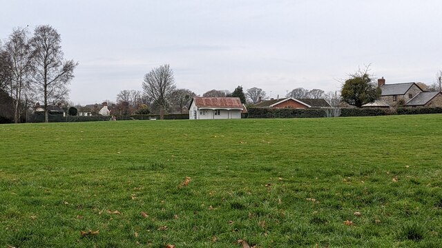
Woonton is a small village located in the county of Herefordshire, England. Situated approximately 10 miles northwest of the city of Hereford, it is nestled in the picturesque countryside of the county. The village is part of the civil parish of Byford and is surrounded by rolling hills, lush green fields, and charming rural landscapes.
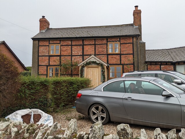
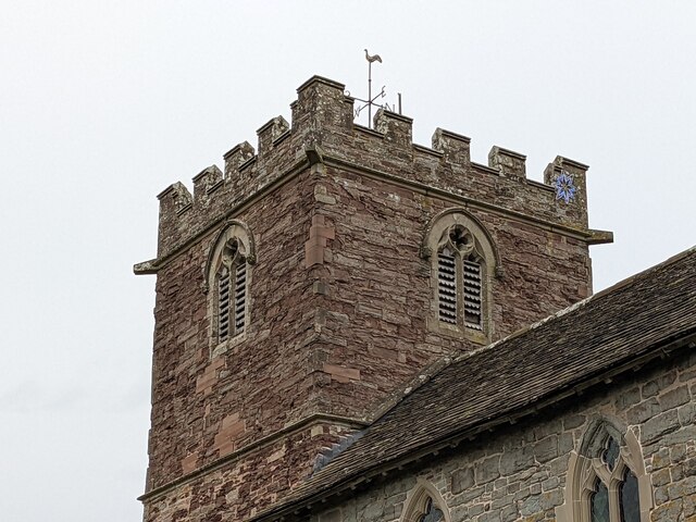
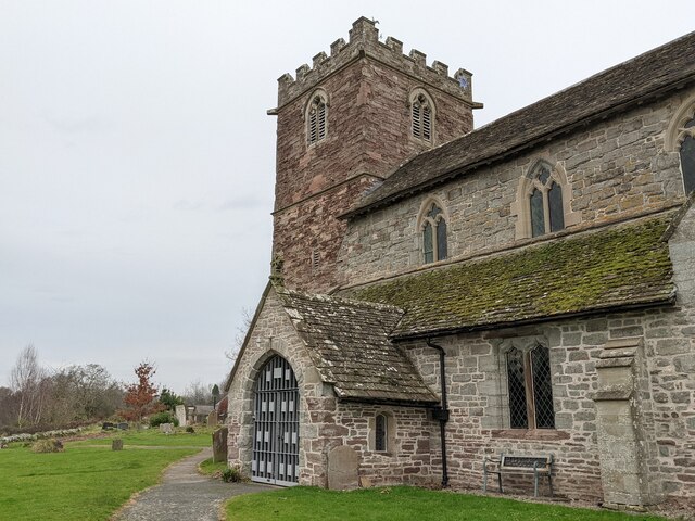
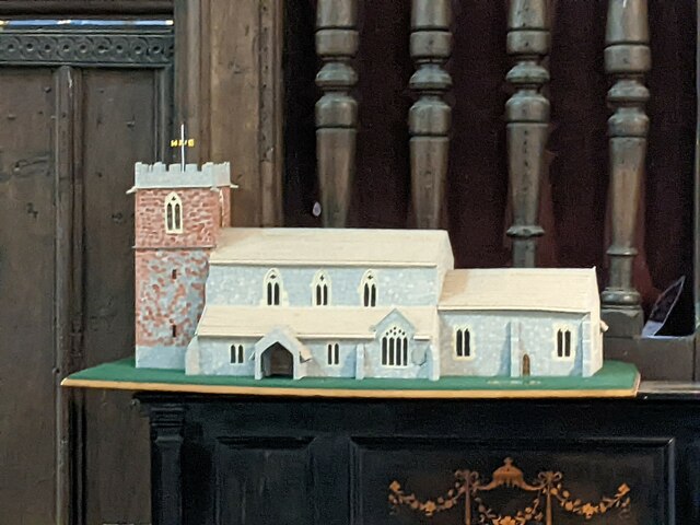
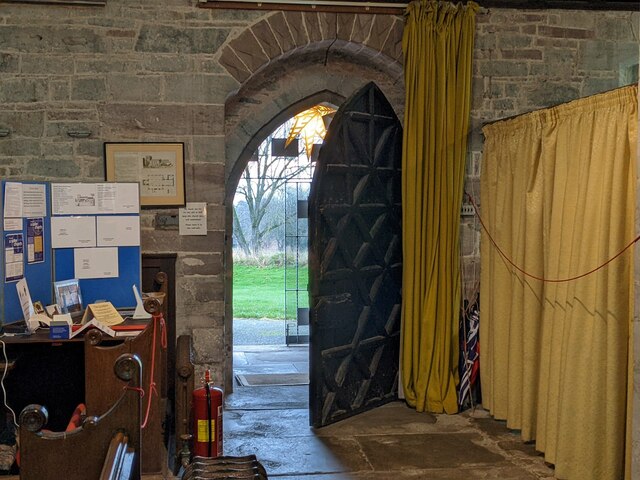
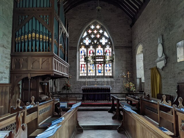
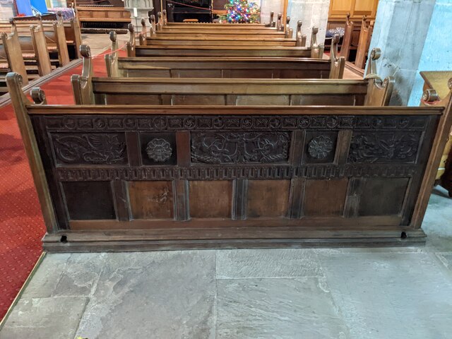
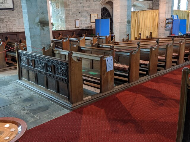
With a population of around 300 residents, Woonton has a close-knit community that takes pride in its peaceful and tranquil atmosphere. The village is known for its traditional architecture, with many of its buildings dating back several centuries. The local church, St. John the Baptist, is a notable landmark, featuring a beautiful Norman tower and stained glass windows.
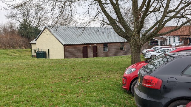
Despite its small size, Woonton offers some amenities to its residents. These include a village hall, where various community events and gatherings take place, and a local pub that serves as a hub for socializing. The surrounding area provides ample opportunities for outdoor activities such as walking, cycling, and horse riding, making it a popular destination for nature enthusiasts.
Woonton benefits from its proximity to larger towns and cities, such as Hereford, which provides access to a wider range of amenities and services. The village is well-connected by road, with the A4110 running nearby, allowing for easy commuting and travel to other parts of Herefordshire.
In conclusion, Woonton is a charming village in Herefordshire, renowned for its idyllic countryside, historic buildings, and strong sense of community.
If you have any feedback on the listing, please let us know in the comments section below.
Woonton Images
Images are sourced within 2km of 52.163403/-2.94986 or Grid Reference SO3552. Thanks to Geograph Open Source API. All images are credited.


Woonton is located at Grid Ref: SO3552 (Lat: 52.163403, Lng: -2.94986)
Unitary Authority: County of Herefordshire
Police Authority: West Merica
What 3 Words
///rectangular.remedy.canine. Near Kinnersley, Herefordshire
Nearby Locations
Related Wikis

Woonton
Woonton is a hamlet which forms part of the parish of Almeley in Herefordshire, England. It is on the A480 road and is near the town of Kington.

Almeley
Almeley (pronounced ) is a village and civil parish in Herefordshire, England. The civil parish includes the hamlets of Almeley Wooton and Upcott. The...
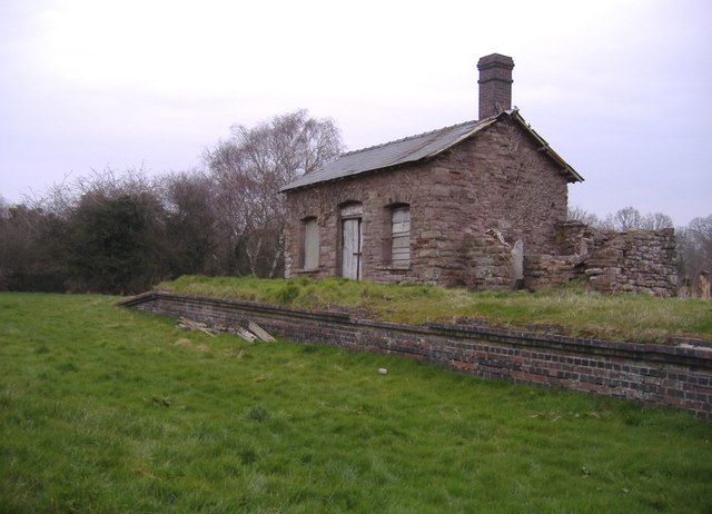
Almeley railway station
Almeley railway station was a railway station on the line from Kington to Eardisley in the English county of Herefordshire. == History == Opened on the...

Kinnersley Castle
Kinnersley Castle in Herefordshire, England, is one of the many marches castles along the Welsh Borders. The Castle of Kinnersley, on the A4112 3 km (1...
Nearby Amenities
Located within 500m of 52.163403,-2.94986Have you been to Woonton?
Leave your review of Woonton below (or comments, questions and feedback).