Woolrooms

Settlement in Leicestershire North West Leicestershire

England

Woolrooms

Swannington landmark house before conversion into three properties Corner of Spring Lane & Main Street Swannington.  Original house built in late 1800's or early 1900. Built level with what was a dirt road but with the advent of motor vehicles and tarmac is now 18" or more lower than pavement. Part used as a butchers shop initially but had a varied history.
Swannington landmark house before conversion into three properties Credit: Jim Messenger

Woolrooms is a charming village located in the picturesque county of Leicestershire, England. Situated in the heart of the East Midlands, this quaint village is known for its rich history, natural beauty, and welcoming community.

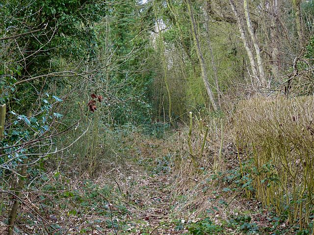
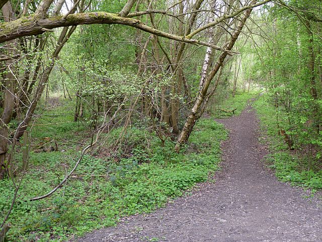
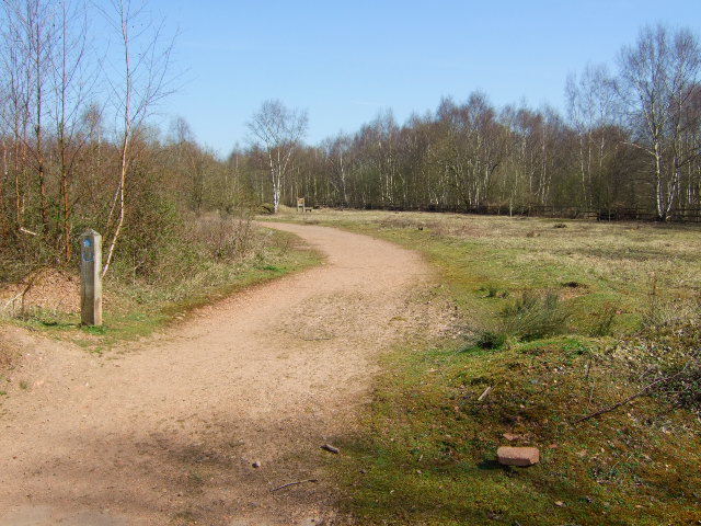
One of the defining features of Woolrooms is its beautiful countryside surroundings. The village is surrounded by lush green fields and rolling hills, making it a haven for nature lovers and outdoor enthusiasts. The nearby Bradgate Park offers stunning vistas and is a popular spot for walking, picnicking, and wildlife spotting.

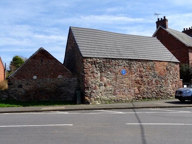
The village itself is characterized by its traditional architecture, with many buildings dating back centuries. The local church, St. Mary's, is a prime example of medieval architecture and is a focal point of the village.

Woolrooms is also proud of its strong community spirit. The village hosts various events throughout the year, including summer fairs, art exhibitions, and local markets. These events bring residents together and provide opportunities for visitors to immerse themselves in the local culture.

For those seeking a taste of history, Woolrooms is conveniently located near several historical sites. The nearby ruins of Bradgate House, once the childhood home of Lady Jane Grey, offer a glimpse into Tudor-era England. Additionally, the Leicester Cathedral, where King Richard III is buried, is just a short drive away.

With its natural beauty, historical significance, and vibrant community, Woolrooms is a destination that offers something for everyone. Whether it's exploring the countryside, delving into history, or simply enjoying the warm hospitality of the locals, this village in Leicestershire is sure to leave a lasting impression.

If you have any feedback on the listing, please let us know in the comments section below.
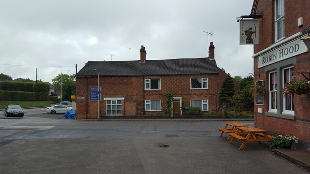
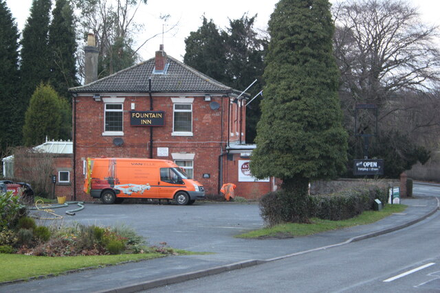
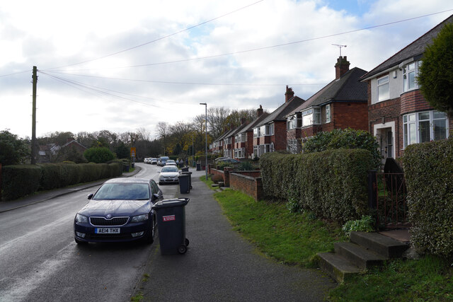
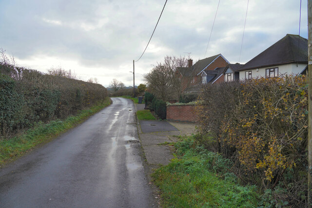
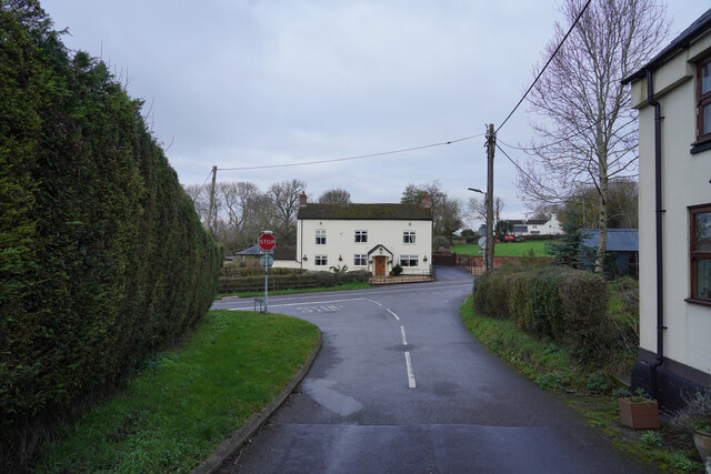
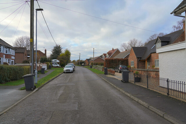
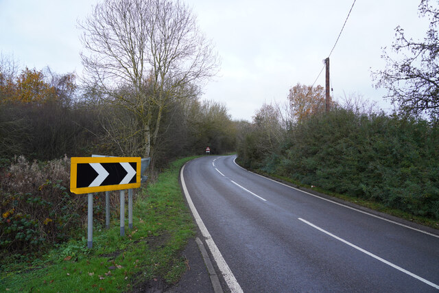
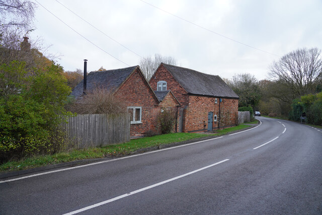
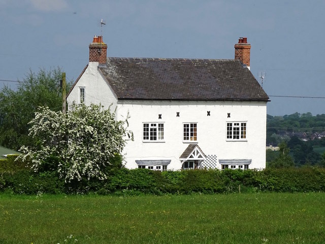
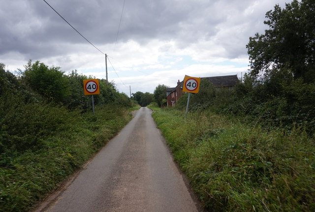
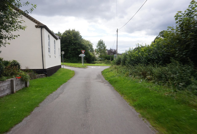
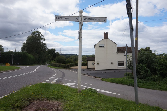
Woolrooms Images

Images are sourced within 2km of 52.756214/-1.3987968 or Grid Reference SK4017. Thanks to Geograph Open Source API. All images are credited.

Swannington landmark house before conversion into three properties Corner of Spring Lane & Main Street Swannington.  Original house built in late 1800's or early 1900. Built level with what was a dirt road but with the advent of motor vehicles and tarmac is now 18" or more lower than pavement. Part used as a butchers shop initially but had a varied history.
Swannington landmark house before conversion into three properties
Corner of Spring Lane & Main Street Swannington. Original house built in late 1800's or early 1900. Built level with what was a dirt road but with the advent of motor vehicles and tarmac is now 18" or more lower than pavement. Part used as a butchers shop initially but had a varied history.
The Fountain Inn, Main Street, Swannington The Fountain Inn which had a large car park on left and garden at rear. Developers were just starting work to convert the pub into a house and build three further houses on the car park
The Fountain Inn, Main Street, Swannington
The Fountain Inn which had a large car park on left and garden at rear. Developers were just starting work to convert the pub into a house and build three further houses on the car park
Newbold Village It is obviously the day for collecting rubbish in this village as all the dustbins are out awaiting emptying.
Newbold Village
It is obviously the day for collecting rubbish in this village as all the dustbins are out awaiting emptying.
Houses in Griffydam Griffydam strikes me as a very unusual name, but presumably it has some local relevance. These are houses towards the edge of the village.
Houses in Griffydam
Griffydam strikes me as a very unusual name, but presumably it has some local relevance. These are houses towards the edge of the village.
A road junction Looking from Top Road towards the junction, the road to the left is Rempstone Road, but to the right it has changed name to Ashby Road and opposite Top Road becomes Top Brand.
A road junction
Looking from Top Road towards the junction, the road to the left is Rempstone Road, but to the right it has changed name to Ashby Road and opposite Top Road becomes Top Brand.
Ashby Road Another view of Newbold.
Ashby Road
Another view of Newbold.
Melbourne Road Approaching a bend with road works that are round the corner but not visible at this point, though the warning signs are out.
Melbourne Road
Approaching a bend with road works that are round the corner but not visible at this point, though the warning signs are out.
Old farm buildings Close to the Melbourne Road the farm house and other buildings is given the name Newbold Gate on most maps.
Old farm buildings
Close to the Melbourne Road the farm house and other buildings is given the name Newbold Gate on most maps.
The former Queen's Head Inn The Queen's Head stopped being an inn some time in the late 19th or early 20th century.
The former Queen's Head Inn
The Queen's Head stopped being an inn some time in the late 19th or early 20th century.
Lower Brand towards Vinegar Hill
Lower Brand at Rempstone Road
Sign post on Rempstone Road
Former blacksmiths and meeting house According to the blue plaque, this building was once a blacksmiths and a Primitive Methodist meeting house.
Former blacksmiths and meeting house
According to the blue plaque, this building was once a blacksmiths and a Primitive Methodist meeting house.
Twice-abandoned railway at Newbold This section of railway was originally built as part of the Coleorton Railway, opened in 1833 and closed in 1860. It was reopened in 1924 to connect the newly-sunk New Lount colliery with the LMSR line from Ashby-de-la-Zouch to Derby. When the colliery closed in 1968 the line was closed and lifted for the second time.
Twice-abandoned railway at Newbold
This section of railway was originally built as part of the Coleorton Railway, opened in 1833 and closed in 1860. It was reopened in 1924 to connect the newly-sunk New Lount colliery with the LMSR line from Ashby-de-la-Zouch to Derby. When the colliery closed in 1968 the line was closed and lifted for the second time.
Junction of the branch to New Lount colliery In 1925 a new railway line was built connecting the newly-sunk New Lount colliery with the LMR branch from Derby to Ashby de la Zouch. This picture shows the point of divergence, the colliery line branching to the left while the site of the line to Ashby is followed by the footpath on the right.
Junction of the branch to New Lount colliery
In 1925 a new railway line was built connecting the newly-sunk New Lount colliery with the LMR branch from Derby to Ashby de la Zouch. This picture shows the point of divergence, the colliery line branching to the left while the site of the line to Ashby is followed by the footpath on the right.
Remains of signalbox at Newbold These few scattered bricks are all that remains of the signal box controlling the junction to New Lount colliery at Newbold (Branch opened 1925, closed 1968). The remains of the concrete steps up to it are in the left foreground.
Remains of signalbox at Newbold
These few scattered bricks are all that remains of the signal box controlling the junction to New Lount colliery at Newbold (Branch opened 1925, closed 1968). The remains of the concrete steps up to it are in the left foreground.
The south-east portal of Newbold tunnel The south-east portal of Newbold tunnel. It was built originally for the Coleorton Railway, a line which used horse haulage, opened in 1833 and closed in 1872. The tunnel was refurbished in 1925 for use by the branch to New Lount colliery, which in turn closed in 1968, when the line was abandoned once more.
The south-east portal of Newbold tunnel
The south-east portal of Newbold tunnel. It was built originally for the Coleorton Railway, a line which used horse haulage, opened in 1833 and closed in 1872. The tunnel was refurbished in 1925 for use by the branch to New Lount colliery, which in turn closed in 1968, when the line was abandoned once more.
The north-west portal of Newbold tunnel The north-west portal of Newbold tunnel. It was built originally for the Coleorton Railway, opened in 1833 and closed in 1872. The tunnel was refurbished in 1925 for use by the branch to New Lount colliery, which closed in 1968, when the line was abandoned once more. The tunnel is dry inside and in generally good condition - a tribute to its builders.
The north-west portal of Newbold tunnel
The north-west portal of Newbold tunnel. It was built originally for the Coleorton Railway, opened in 1833 and closed in 1872. The tunnel was refurbished in 1925 for use by the branch to New Lount colliery, which closed in 1968, when the line was abandoned once more. The tunnel is dry inside and in generally good condition - a tribute to its builders.
Show me another place!

Woolrooms is located at Grid Ref: SK4017 (Lat: 52.756214, Lng: -1.3987968)

Administrative County: Leicestershire

District: North West Leicestershire

Police Authority: Leicestershire

What 3 Words

///denote.cheaper.husky. Near Ravenstone, Leicestershire

Nearby Locations

Coleorton Woolrooms

Related Wikis

Gelsmoor

Gelsmoor is a hamlet within the parish of Worthington in the English county of Leicestershire. It is noted for having a 'petrifying spring' in a nineteenth...

Peggs Green

Peggs Green is a hamlet within the parish of Coleorton, Leicestershire. For many years it had formed part of the civil parish of Thringstone, until this...

Coleorton

Coleorton ( kə-LOR-tən) is a village and civil parish in North West Leicestershire, England. It is situated on the A512 road approximately 2 miles (3...

North West Leicestershire (UK Parliament constituency)

North West Leicestershire is a constituency represented in the House of Commons of the UK Parliament since 2010 by Andrew Bridgen, originally a Conservative...
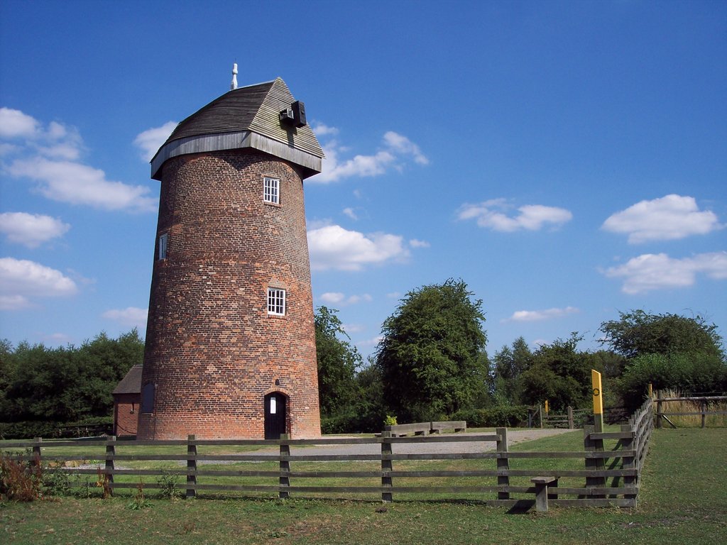
Hough Windmill

Hough windmill, Swannington, Leicestershire is a tower windmill built in the late 18th century on the boundary between Swannington, Leicestershire and...

Califat Coal Mine

The Califat Coal Mine began in 1852, when William Worswick signed a lease with Wyggeston Hospital, Leicester. The Coleorton No 2 Colliery was then sunk...

Griffydam

Griffydam is a hamlet within the parish of Worthington, Leicestershire . == History == Griffydam is most famously associated with a chalybeate well, or...

New Lount

New Lount is a 21.3 hectares (53 acres) Local Nature Reserve north-east of Ashby-de-la-Zouch in Leicestershire. It is owned and managed by Leicestershire...

Nearby Amenities

Located within 500m of 52.756214,-1.3987968
Coleorton
Is In Country: UK
Is In County: Leicestershire
Place: village
Wikidata: Q3499971
Wikipedia: en:Coleorton
Lat/Long: 52.7529886/-1.4032292
Addr City: Coalville
Addr Postcode: LE67 8FJ
Addr Street: Lower Moor Road
Addr Village: Coleorton
Disused Amenity: post_office
Old Name: Coleorton Post Office
Lat/Long: 52.7534298/-1.4040561
Pub
George Inn
Addr Postcode: LE67 8HF
Addr Street: Loughborough Road
Fhrs Id: 1082528
Indoor Seating: yes
Outdoor Seating: yes
Lat/Long: 52.7517834/-1.398739
Place Of Worship
Addr Postcode: LE67 8PE
Addr Street: Lower Moor Road
Lat/Long: 52.7541441/-1.4032289
Power: tower
Lat/Long: 52.7590122/-1.3949966
Power: tower
Lat/Long: 52.7525125/-1.3998461
Power: tower
Lat/Long: 52.7565514/-1.396842
Generator Method: photovoltaic
Generator Output Electricity: yes
Generator Source: solar
Generator Type: solar_photovoltaic_panel
Location: roof
Power: generator
Lat/Long: 52.753508/-1.4032694
Generator Method: photovoltaic
Generator Output Electricity: yes
Generator Source: solar
Generator Type: solar_photovoltaic_panel
Location: roof
Power: generator
Lat/Long: 52.7530437/-1.4011612
The data included in this document is from www.openstreetmap.org. The data is made available under ODbL.

Have you been to Woolrooms?

Leave your review of Woolrooms below (or comments, questions and feedback).