Woolley Grange
Settlement in Yorkshire
England
Woolley Grange

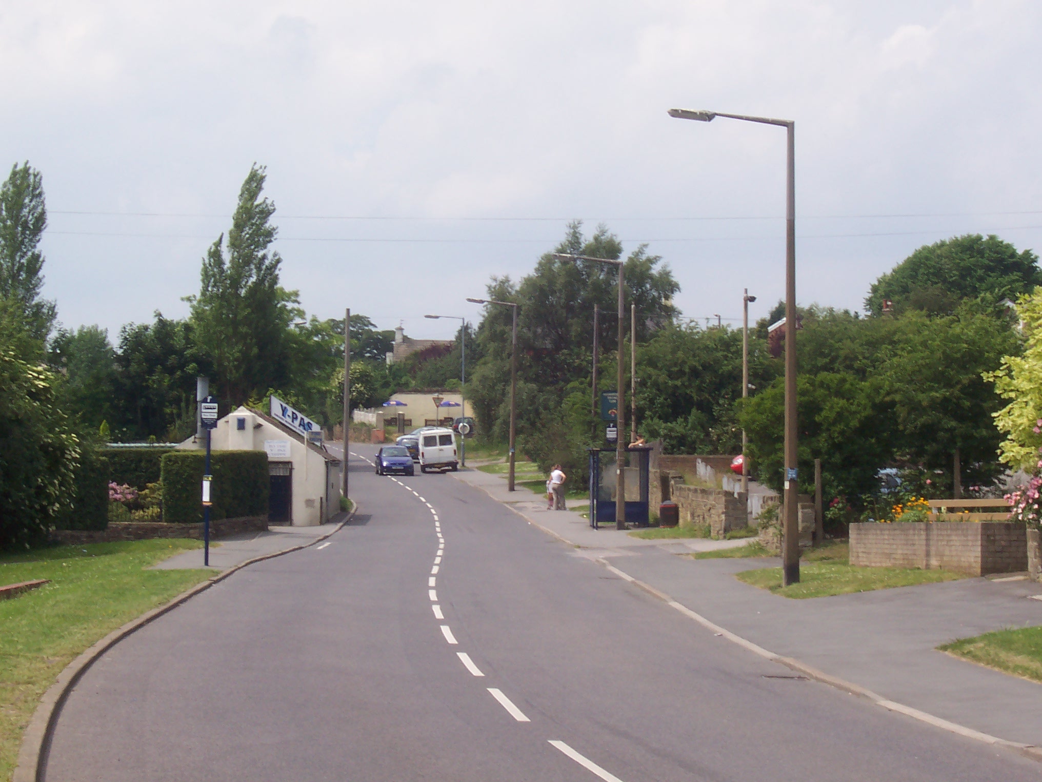
Woolley Grange is a charming village located in the county of Yorkshire, England. Situated amidst the picturesque countryside, this quaint village is known for its idyllic beauty and historic significance.
The village is home to Woolley Grange, a stunning country house that dates back to the 17th century. This Grade II listed building is renowned for its architectural grandeur and has been beautifully preserved over the centuries. Surrounded by well-manicured gardens and rolling green fields, Woolley Grange offers a peaceful retreat for visitors seeking tranquility and natural beauty.
In addition to its stunning landscapes, Woolley Grange is also famous for its rich history. The village boasts a number of historical landmarks, including the 12th-century Woolley Hall, which is now a luxury hotel and spa. The hall has played host to many notable figures throughout history, and its elegant interiors and extensive grounds provide a glimpse into the past.
Visitors to Woolley Grange can also explore the surrounding area, which offers a range of activities and attractions. The nearby Yorkshire Dales National Park is a haven for outdoor enthusiasts, with its hiking trails, cycling routes, and stunning scenery. The village is also within close proximity to the vibrant city of Leeds, offering a perfect blend of rural charm and urban amenities.
Overall, Woolley Grange is a captivating destination that combines natural beauty, historical significance, and modern comforts, making it an ideal place to visit for those seeking a relaxing and culturally enriching experience.
If you have any feedback on the listing, please let us know in the comments section below.
Woolley Grange Images
Images are sourced within 2km of 53.596168/-1.5315561 or Grid Reference SE3111. Thanks to Geograph Open Source API. All images are credited.


Woolley Grange is located at Grid Ref: SE3111 (Lat: 53.596168, Lng: -1.5315561)
Division: West Riding
Unitary Authority: Wakefield
Police Authority: West Yorkshire
What 3 Words
///consoles.soccer.selling. Near Darton, South Yorkshire
Nearby Locations
Related Wikis

Woolley Colliery
Woolley Colliery is a village on the border between the Barnsley and Wakefield districts in Yorkshire, England. The village is now in South Yorkshire,...
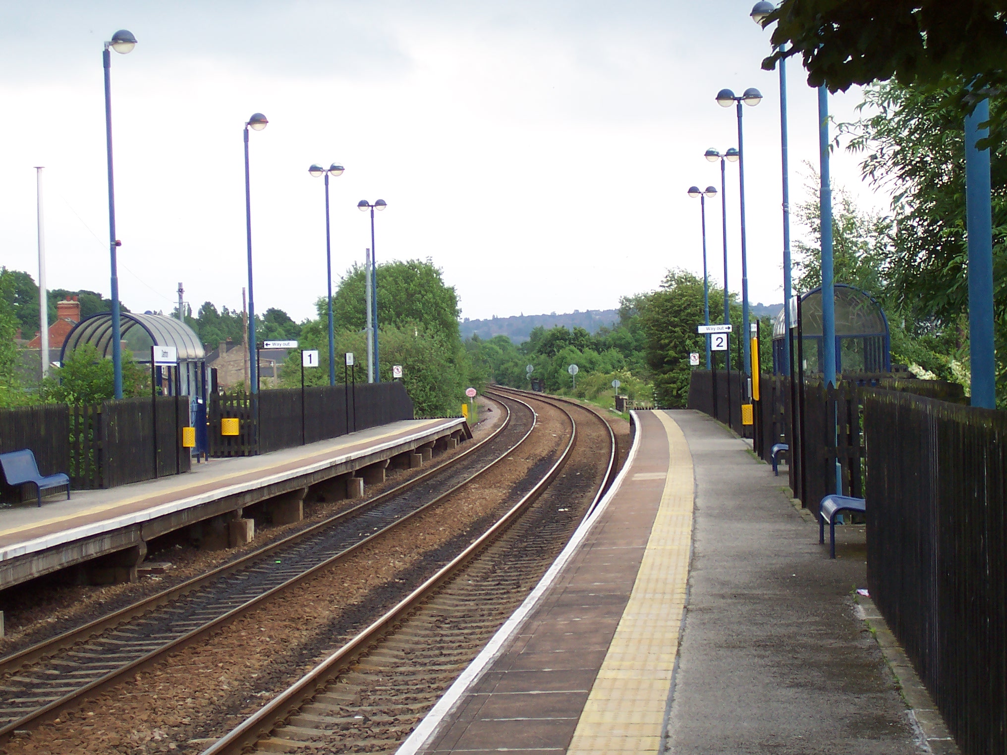
Darton railway station
Darton railway station is a railway station in a large village of Darton, in the Metropolitan Borough of Barnsley, South Yorkshire, England. Train services...
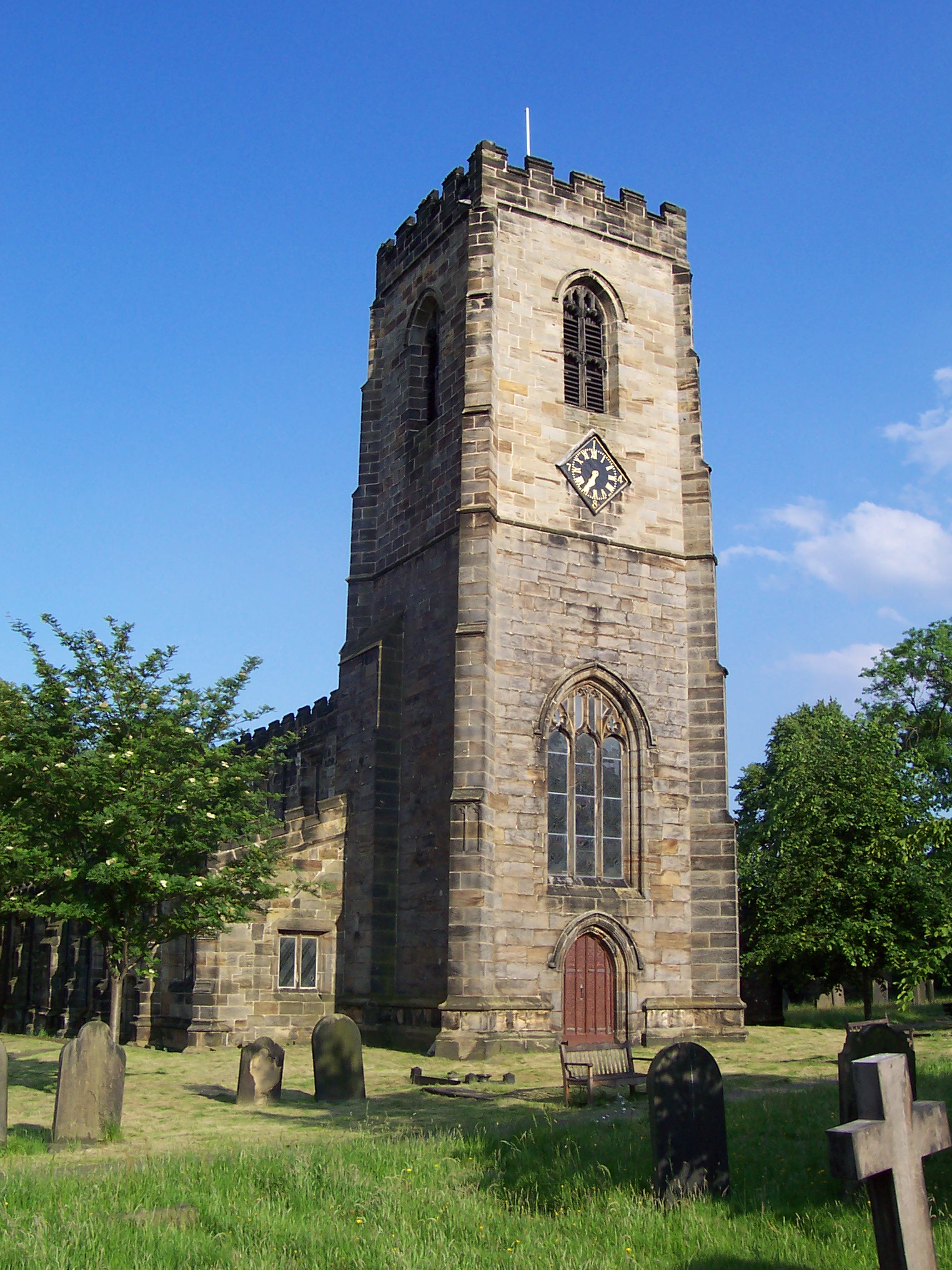
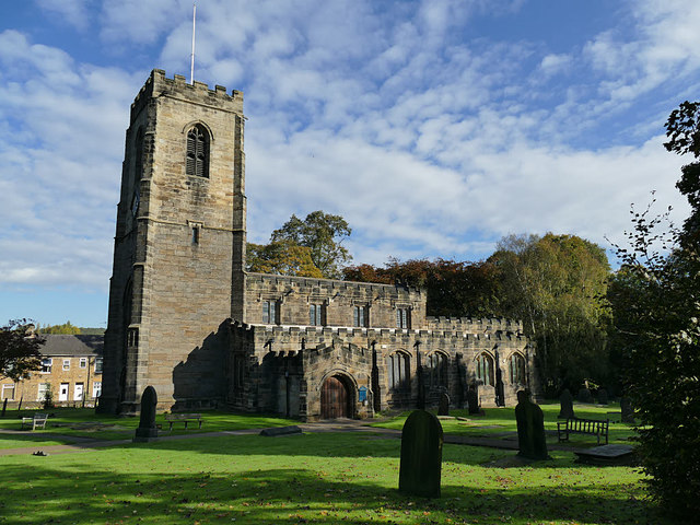
All Saints Church, Darton
The Church of All Saints is the parish church in the village of Darton in South Yorkshire, England. It is a Church of England church in the Diocese of...
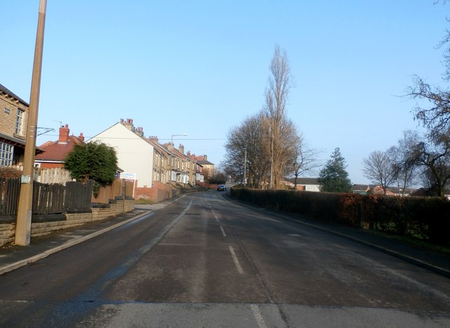
Darton
Darton is a large village in the Metropolitan Borough of Barnsley (part of South Yorkshire), on the border with West Yorkshire, England. At the time of...

Haigh railway station
Haigh railway station served the village of Haigh, West Yorkshire, England from 1850 to 1965 on the Hallam Line. == History == The station opened on 1...

Haigh, West Yorkshire
Haigh is a hamlet, straddling the counties of South and West Yorkshire in England. It is split between the Barnsley and Wakefield districts. Historically...
Kexbrough
Kexbrough is a village in the Metropolitan Borough of Barnsley (part of South Yorkshire, England), on the border with West Yorkshire. The village falls...

Darton Academy
Darton Academy is a coeducational secondary school located in Darton in the Metropolitan Borough of Barnsley, South Yorkshire, England. The school provides...
Nearby Amenities
Located within 500m of 53.596168,-1.5315561Have you been to Woolley Grange?
Leave your review of Woolley Grange below (or comments, questions and feedback).