Woolley Moor

Settlement in Derbyshire North East Derbyshire

England

Woolley Moor

Cattle on the side of South Hill Looking up to the southern end of the South Hill ridge.
Cattle on the side of South Hill Credit: Bill Boaden

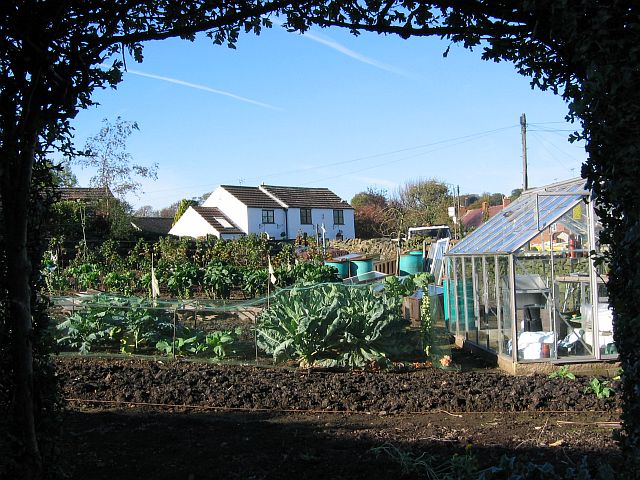
Woolley Moor is a picturesque village located in Derbyshire, England. Situated on the edge of the Peak District National Park, it offers stunning views of the surrounding countryside. The village is part of the Amber Valley district and is approximately 10 miles away from the city of Derby.

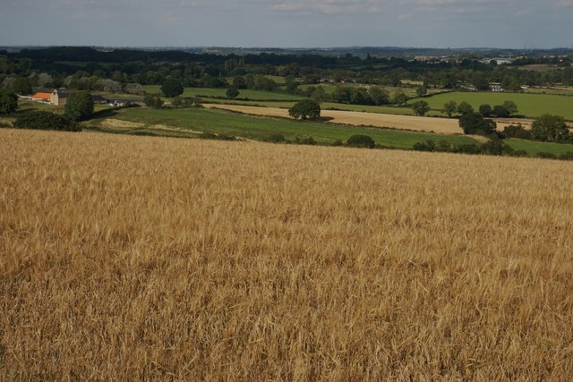
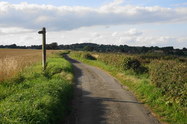
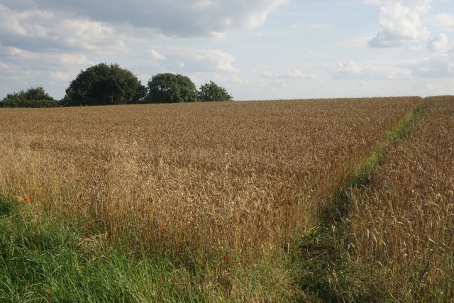
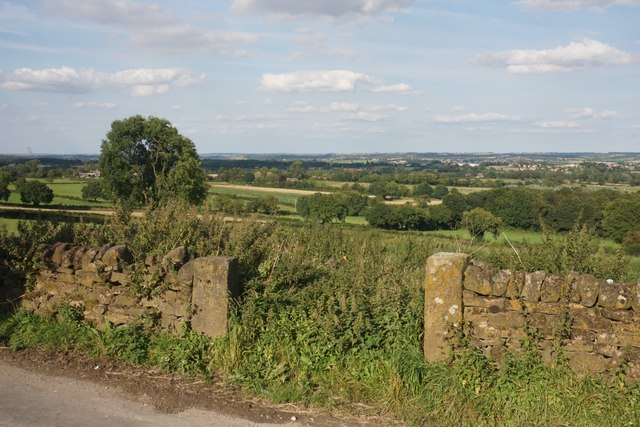
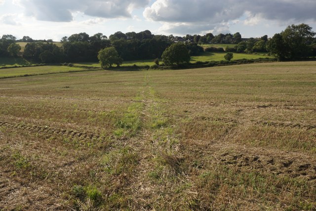
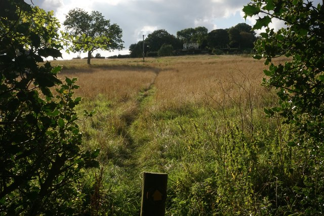
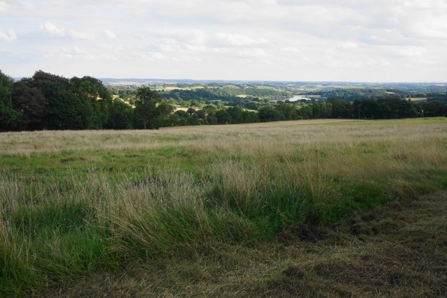
Woolley Moor is known for its peaceful and serene atmosphere, making it a popular destination for those seeking tranquility and natural beauty. The village is surrounded by rolling hills, green meadows, and dense woodlands, providing ample opportunities for outdoor activities such as hiking, cycling, and birdwatching.

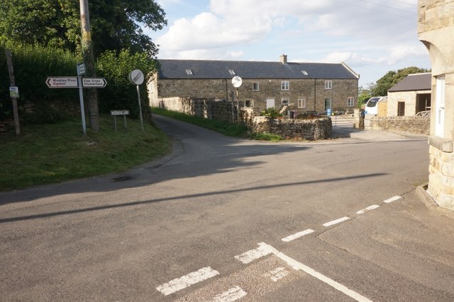
The village itself is small but charming, with a tight-knit community that takes pride in its heritage and local traditions. It features a few quaint cottages, a village hall, and a local pub, which serves as a social hub for residents and visitors alike.

One of the notable attractions in Woolley Moor is the nearby Ogston Reservoir, which offers a range of water-based activities including sailing, windsurfing, and fishing. The reservoir also attracts a variety of bird species, making it a popular spot for birdwatchers.

Woolley Moor is conveniently located near several other popular destinations in Derbyshire, including Chatsworth House, Bakewell, and Matlock Bath. It also benefits from excellent transport links, with easy access to major roads and nearby train stations.

Overall, Woolley Moor is a charming village that offers a perfect mix of natural beauty, tranquility, and accessibility, making it an ideal destination for nature lovers and those seeking a peaceful retreat in the heart of Derbyshire.

If you have any feedback on the listing, please let us know in the comments section below.
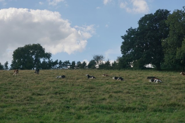
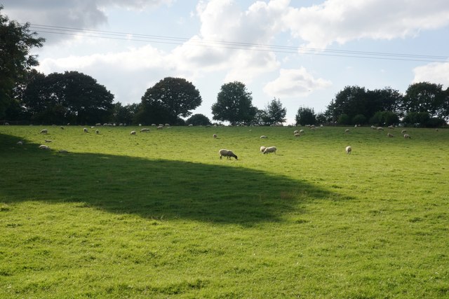
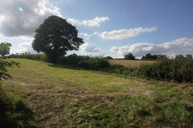
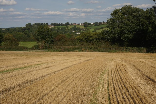
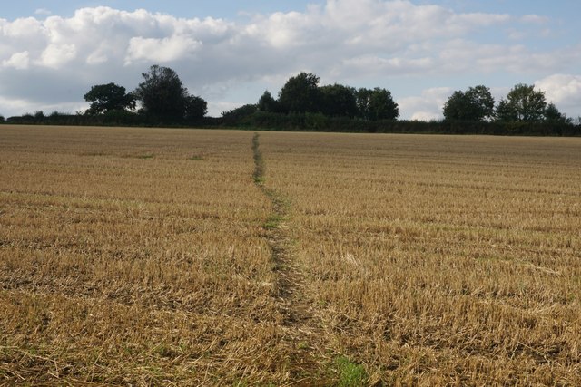
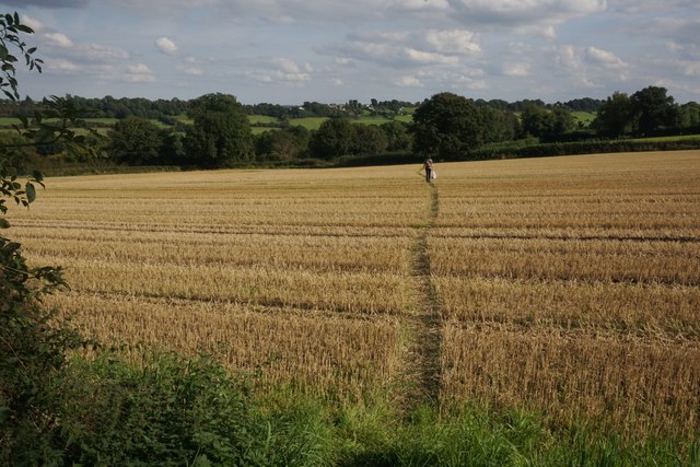
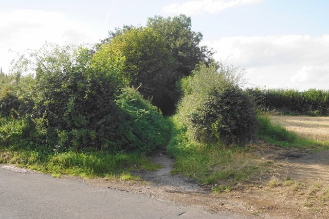
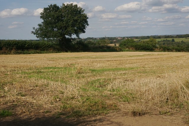
Woolley Moor Images

Images are sourced within 2km of 53.148075/-1.4460756 or Grid Reference SK3761. Thanks to Geograph Open Source API. All images are credited.

Cattle on the side of South Hill Looking up to the southern end of the South Hill ridge.
Cattle on the side of South Hill
Looking up to the southern end of the South Hill ridge.
Footpath to Mickley Estate Houses lining the A61 can be seen on the far hill. In between is the valley of Smithy Brook.
Footpath to Mickley Estate
Houses lining the A61 can be seen on the far hill. In between is the valley of Smithy Brook.
Field of sheep on South Hill The eastern side of the South Hill ridge.
Field of sheep on South Hill
The eastern side of the South Hill ridge.
Footpath on South Hill The footpath originally cut off this corner of the field and is still marked as such on the OS map. However that part of the path no longer exists and you have to use the field entrance where I am standing.
Footpath on South Hill
The footpath originally cut off this corner of the field and is still marked as such on the OS map. However that part of the path no longer exists and you have to use the field entrance where I am standing.
Harvested field on South Hill Stretton is seen on the far hill, on the other side of the valley of Smithy Brook.
Harvested field on South Hill
Stretton is seen on the far hill, on the other side of the valley of Smithy Brook.
Footpath towards Handley Crossing a harvested field at the northern end of South Hill.
Footpath towards Handley
Crossing a harvested field at the northern end of South Hill.
Footpath on South Hill The South Hill ridge continues further up to the right. On the far hill are some houses at Mickley on the A61.
Footpath on South Hill
The South Hill ridge continues further up to the right. On the far hill are some houses at Mickley on the A61.
Bridleway to Handley This route appears on older OS maps as a yellow road. It has clearly fallen into disrepair and is not maintained.
Bridleway to Handley
This route appears on older OS maps as a yellow road. It has clearly fallen into disrepair and is not maintained.
Harvested field on Smithy Moor In the far centre is the spire of St Bartholomew's Church in Clay Cross.
Harvested field on Smithy Moor
In the far centre is the spire of St Bartholomew's Church in Clay Cross.
Crossroads at Handley Handley is a very small hamlet on a ridge between Clay Cross and Ashover.
Crossroads at Handley
Handley is a very small hamlet on a ridge between Clay Cross and Ashover.
Barley field by Woodhead Lane Woodhead Lane runs along a ridge with extensive views to the east around Clay Cross and the upper catchment area of the River Rother. Stretton Hall Farm is seen to the left.
Barley field by Woodhead Lane
Woodhead Lane runs along a ridge with extensive views to the east around Clay Cross and the upper catchment area of the River Rother. Stretton Hall Farm is seen to the left.
Woodhead Lane The lane climbs along a ridge which leads up to Farhill. There are quite extensive views to the right from here.
Woodhead Lane
The lane climbs along a ridge which leads up to Farhill. There are quite extensive views to the right from here.
Footpath to Ridgewell Farm Crossing the top of the ridge. This path disappears when the field is ploughed, and when it reappears  it does not always follow exactly the same route through the field.
Footpath to Ridgewell Farm
Crossing the top of the ridge. This path disappears when the field is ploughed, and when it reappears it does not always follow exactly the same route through the field.
Poppy in a wheat field Several poppies were growing along the edge of the wheat field and were visible from Woodhead Lane.
Poppy in a wheat field
Several poppies were growing along the edge of the wheat field and were visible from Woodhead Lane.
Redundant field entrance opposite Woodhead Farm The field appears to have lain fallow for some time. There is a view beyond to the catchment area of the River Rother.
Redundant field entrance opposite Woodhead Farm
The field appears to have lain fallow for some time. There is a view beyond to the catchment area of the River Rother.
Footpath to Littlemoor There is a small depression between two ridges.
Footpath to Littlemoor
There is a small depression between two ridges.
Footpath to Littlemoor A gentle stroll to the top of the ridge.
Footpath to Littlemoor
A gentle stroll to the top of the ridge.
Field below Littlemoor Offering a view down to Ogston Reservoir.
Field below Littlemoor
Offering a view down to Ogston Reservoir.
Show me another place!

Woolley Moor is located at Grid Ref: SK3761 (Lat: 53.148075, Lng: -1.4460756)

Administrative County: Derbyshire

District: North East Derbyshire

Police Authority: Derbyshire

What 3 Words

///armrests.spider.saving. Near Shirland, Derbyshire

Nearby Locations

Handley Woolley Moor

Related Wikis

Woolley Moor

Woolley Moor is a small village in the North East Derbyshire district of Derbyshire, England. Its amenities include a school, a church and a public house...

Ashover Light Railway

The Ashover Light Railway was a 1 ft 11+1⁄2 in (597 mm) narrow gauge railway in Derbyshire, England that connected Clay Cross and Ashover. It was built...

Woolley railway station

Woolley railway station was a small station on the Ashover Light Railway and it served the small village of Woolley Moor in North East Derbyshire, England...

Hurst Lane railway station

Hurst Lane railway station served the hamlet of Ogston, North East Derbyshire, England, from 1925 to 1936 on the Ashover Light Railway. == History == The...

Dale Bank railway station

Dale Bank railway station served the hamlet of Dalebank, Derbyshire, England, from 1925 to 1936 on the Ashover Light Railway. == History == The station...

Ogston Reservoir

Ogston Reservoir is a reservoir operated by Severn Trent Water in Derbyshire. It is near the villages of Brackenfield and Ashover and the town of Clay...

Milltown Methodist Church

Milltown Methodist Church (known alternatively as Milltown Chapel, Milltown Primitive Methodist Chapel and Ashover Hay Primitive Methodist Chapel) is a...

Stretton railway station

Stretton railway station was a railway station at Stretton, Derbyshire, England built by the North Midland Railway. == History == Stretton station was...

Nearby Amenities

Located within 500m of 53.148075,-1.4460756
Woolley Moor
Place: village
Wikidata: Q8033854
Wikipedia: en:Woolley Moor
Lat/Long: 53.149202/-1.4514101
Bench
Created By: Potlatch 0.10e
Lat/Long: 53.1498313/-1.4517764
Bus Stop
Bus: yes
Public Transport: platform
Lat/Long: 53.1498261/-1.4516134
Barrier: stile
Lat/Long: 53.1497662/-1.4442009
Bus Stop
Bus: yes
Public Transport: platform
Shelter: yes
Lat/Long: 53.1488071/-1.4513274
Post Box
Brand: Royal Mail
Brand Wikidata: Q638098
Brand Wikipedia: en:Royal Mail
Operator: Royal Mail
Operator Wikidata: Q638098
Post Box Type: lamp
Ref: DE55 415
Royal Cypher: EIIR
Royal Cypher Wikidata: Q33102113
Lat/Long: 53.146746/-1.4456334
Bus Stop
Bus: yes
Naptan AtcoCode: 1000DWMT8183
Naptan NaptanCode: dbsdawpd
Public Transport: platform
Lat/Long: 53.1466946/-1.4456334
Bench
Lat/Long: 53.1466379/-1.445642
Barrier: stile
Lat/Long: 53.1472692/-1.4431091
Barrier: stile
Lat/Long: 53.14627/-1.4445645
Barrier: stile
Lat/Long: 53.1455092/-1.445635
Barrier: stile
Lat/Long: 53.1475338/-1.4477062
Bus Stop
Bus: yes
Naptan AtcoCode: 1000DWMGC113
Naptan NaptanCode: dbsdmtdj
Public Transport: platform
Lat/Long: 53.1497757/-1.4506288
Bench
Lat/Long: 53.1497551/-1.4507318
Bus Stop
Bus: yes
Public Transport: platform
Lat/Long: 53.1501973/-1.4464252
Barrier: stile
Lat/Long: 53.1496429/-1.4420007
Barrier: stile
Lat/Long: 53.1492686/-1.442078
Barrier: stile
Lat/Long: 53.1512597/-1.4418773
Bench
Lat/Long: 53.1488152/-1.4513612
Bench
Backrest: yes
Lat/Long: 53.1439952/-1.4478619
Barrier: stile
Stile: squeezer
Lat/Long: 53.1453772/-1.4403196
Barrier: stile
Steps: 2
Stile: stepover
Lat/Long: 53.1460037/-1.4407236
Barrier: stile
Steps: 1
Stile: stepover
Lat/Long: 53.146386/-1.4413523
Barrier: fence
Note: public footpath sign points at wooden fence, easy to climb
Lat/Long: 53.1472904/-1.443402
Barrier: stile
Stile: squeezer
Lat/Long: 53.1498369/-1.4525561
Barrier: stile
Stile: squeezer
Lat/Long: 53.151858/-1.4452247
Barrier: stile
Ele: 159.9438477
Steps: 1
Stile: stepover
Lat/Long: 53.1519851/-1.4452149
Ele: 133
Lat/Long: 53.1470624/-1.4459613
Ele: 126
Lat/Long: 53.1471631/-1.4463395
Post Box
Brand: Royal Mail
Brand Wikidata: Q638098
Brand Wikipedia: en:Royal Mail
Operator: Royal Mail
Operator Wikidata: Q638098
Post Box Design: type_m
Post Box Type: lamp
Ref: DE55 629
Lat/Long: 53.1487987/-1.4512954
Bench
Backrest: yes
Lat/Long: 53.1447752/-1.4447048
Barrier: stile
Stile: squeezer
Lat/Long: 53.1496793/-1.4443345
Bus Stop
Bus: yes
Public Transport: platform
Lat/Long: 53.1442012/-1.4472586
Barrier: stile
Stile: squeezer
Lat/Long: 53.1489013/-1.4459759
Advertising: board
Lat/Long: 53.1488517/-1.4515135
The data included in this document is from www.openstreetmap.org. The data is made available under ODbL.

Have you been to Woolley Moor?

Leave your review of Woolley Moor below (or comments, questions and feedback).