Husband Wood
Wood, Forest in Yorkshire
England
Husband Wood
Husband Wood, Yorkshire, also known as Wood or Forest, is a picturesque village located in the county of Yorkshire, England. Nestled amidst the rolling hills and lush greenery, this quaint village offers a serene retreat for nature enthusiasts and those seeking a peaceful escape from the bustling city life.
The village is named after the prominent Husband family, who were the original settlers in this area. It is believed that the woodlands surrounding the village were once owned by the Husband family, hence the name Husband Wood. The woodlands are still a prominent feature of the village, providing a natural habitat for various species of flora and fauna.
Husband Wood is home to a small population of friendly and close-knit community members who take great pride in their village's heritage and natural surroundings. The village is characterized by charming stone cottages, well-maintained gardens, and narrow winding lanes that evoke a sense of old-world charm.
The village offers a range of amenities to cater to the needs of its residents and visitors. These include a village hall, a church, a local pub, and a small convenience store. The village also hosts a variety of community events throughout the year, such as local festivals, fairs, and traditional celebrations.
For outdoor enthusiasts, Husband Wood is an ideal location for walking, hiking, and exploring the surrounding countryside. The woodlands offer numerous trails and pathways, allowing visitors to immerse themselves in the beauty of nature. Additionally, the village is situated in close proximity to several nature reserves and national parks, providing further opportunities for outdoor activities.
In conclusion, Husband Wood, Yorkshire, with its idyllic setting, rich history, and strong sense of community, is a delightful destination for those seeking a tranquil retreat in the heart of the English countryside.
If you have any feedback on the listing, please let us know in the comments section below.
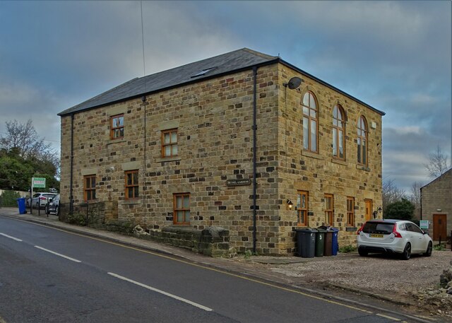
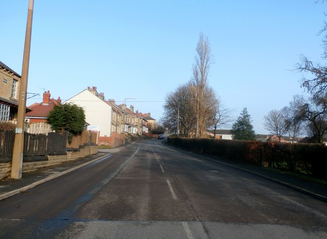
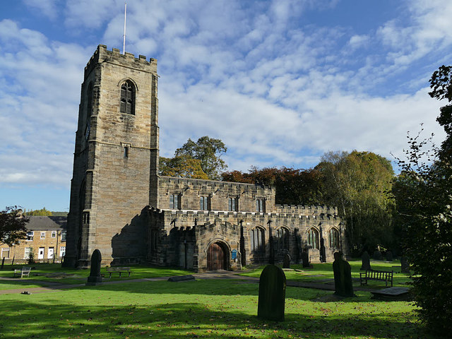
Husband Wood Images
Images are sourced within 2km of 53.59604/-1.5221292 or Grid Reference SE3111. Thanks to Geograph Open Source API. All images are credited.


Husband Wood is located at Grid Ref: SE3111 (Lat: 53.59604, Lng: -1.5221292)
Division: West Riding
Unitary Authority: Barnsley
Police Authority: South Yorkshire
What 3 Words
///lied.hotels.gathering. Near Darton, South Yorkshire
Nearby Locations
Related Wikis

Woolley Colliery
Woolley Colliery is a village on the border between the Barnsley and Wakefield districts in Yorkshire, England. The village is now in South Yorkshire,...
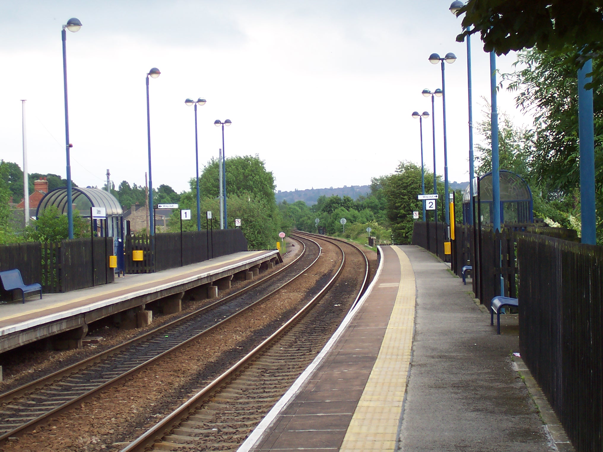
Darton railway station
Darton railway station is a railway station in a large village of Darton, in the Metropolitan Borough of Barnsley, South Yorkshire, England. Train services...
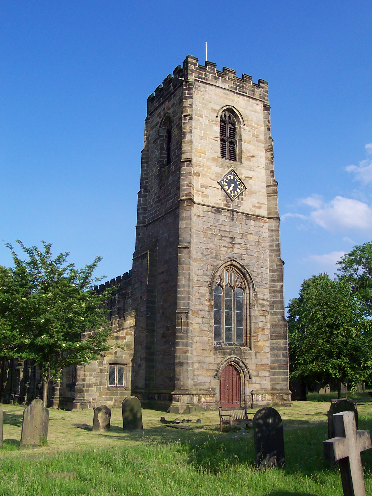
All Saints Church, Darton
The Church of All Saints is the parish church in the village of Darton in South Yorkshire, England. It is a Church of England church in the Diocese of...
Darton
Darton is a large village in the Metropolitan Borough of Barnsley (part of South Yorkshire), on the border with West Yorkshire, England. At the time of...
Nearby Amenities
Located within 500m of 53.59604,-1.5221292Have you been to Husband Wood?
Leave your review of Husband Wood below (or comments, questions and feedback).