Wood Gate

Settlement in Lancashire South Lakeland

England

Wood Gate

Field by the River Crake The trees mark the route of the River Crake at Lowick
Field by the River Crake Credit: Eirian Evans

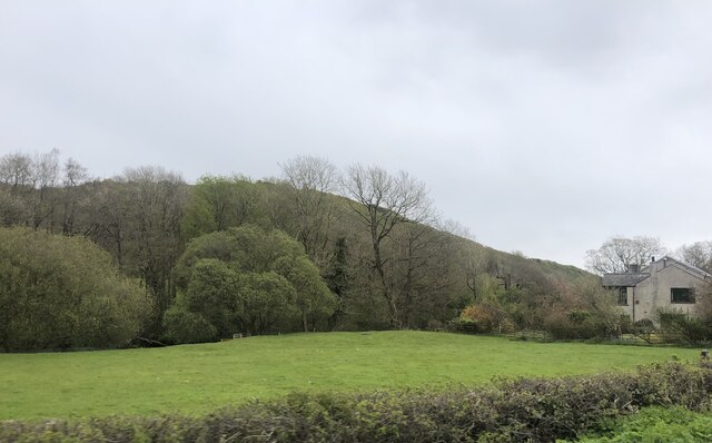
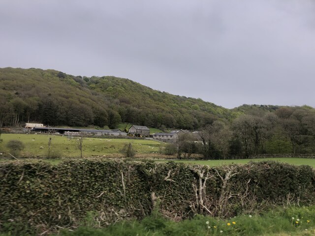
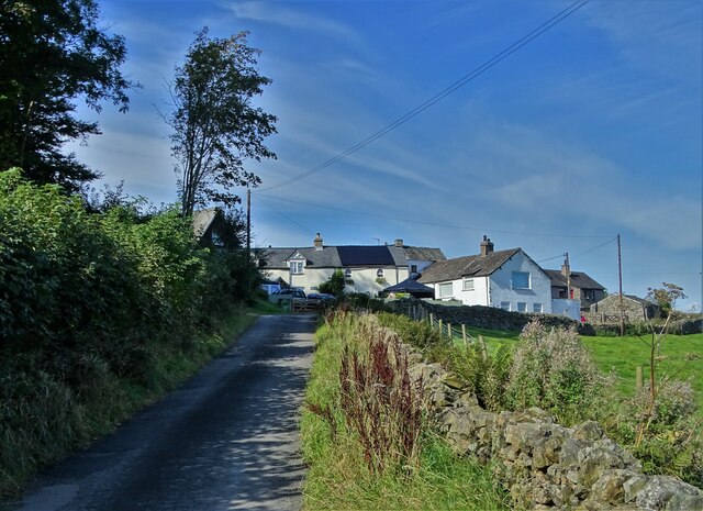
Wood Gate is a small village located in the county of Lancashire, England. It is situated in the picturesque Ribble Valley, approximately 6 miles northeast of the town of Clitheroe. The village is surrounded by beautiful countryside, characterized by rolling hills and lush green fields.

Wood Gate is known for its peaceful and rural atmosphere, making it an ideal destination for those seeking a tranquil escape from the hustle and bustle of city life. The village is primarily residential, with a small number of houses and cottages scattered throughout the area. Many of these properties boast traditional architecture and are nestled amidst stunning natural surroundings.

Although small, Wood Gate offers a close-knit community feel, with residents often gathering at the local pub, The Wood Gate Inn, to socialize and enjoy a pint. The pub is a popular spot in the village and also welcomes visitors from neighboring areas.

For outdoor enthusiasts, Wood Gate provides ample opportunities for exploration and outdoor activities. The village is situated close to the renowned Forest of Bowland, an Area of Outstanding Natural Beauty, which offers scenic walking and cycling routes. The nearby River Ribble is also a popular spot for fishing and boating.

Overall, Wood Gate, Lancashire, offers a charming countryside retreat with its idyllic setting, friendly community, and access to stunning natural landscapes. It is a destination that appeals to those seeking peace, tranquility, and a connection with nature.

If you have any feedback on the listing, please let us know in the comments section below.
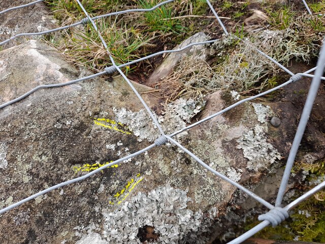
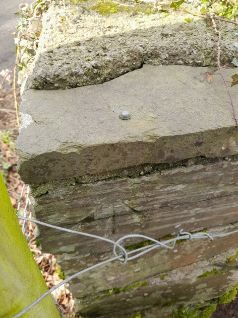
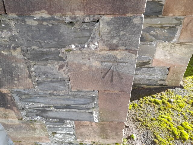
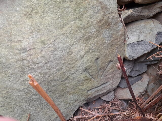
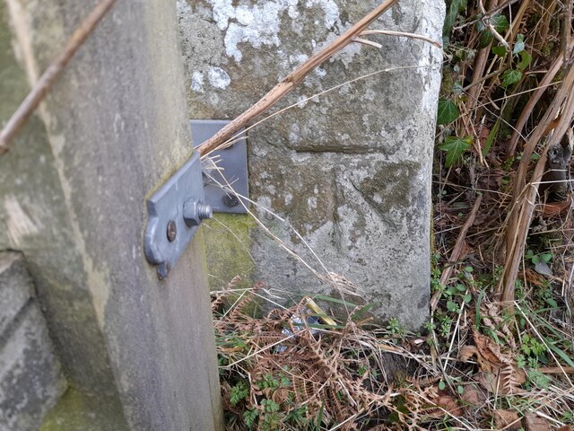
Wood Gate Images

Images are sourced within 2km of 54.258367/-3.1033581 or Grid Reference SD2885. Thanks to Geograph Open Source API. All images are credited.

Field by the River Crake The trees mark the route of the River Crake at Lowick
Field by the River Crake
The trees mark the route of the River Crake at Lowick
Bridgefield Farm Across the River Crake from Lowick.
Bridgefield Farm
Across the River Crake from Lowick.
Ordnance Survey Rivet This OS rivet can be found on a rock south side of the road. It marks a point 200.156m above mean sea level.
Ordnance Survey Rivet
This OS rivet can be found on a rock south side of the road. It marks a point 200.156m above mean sea level.
Ordnance Survey Cut Mark This OS cut mark can be found on the wall north side of the road. It marks a point 196.374m above mean sea level.
Ordnance Survey Cut Mark
This OS cut mark can be found on the wall north side of the road. It marks a point 196.374m above mean sea level.
Ordnance Survey Rivet This OS rivet can be found on a boulder east side of the road. It marks a point 139.317m above mean sea level.
Ordnance Survey Rivet
This OS rivet can be found on a boulder east side of the road. It marks a point 139.317m above mean sea level.
Ordnance Survey Rivet This OS rivet can be found on boulder SW side of the track. It marks a point 133.905m above mean sea level.
Ordnance Survey Rivet
This OS rivet can be found on boulder SW side of the track. It marks a point 133.905m above mean sea level.
Ordnance Survey Rivet This OS rivet can be found on the culvert NE side of the road. It marks a point 124.724m above mean sea level.
Ordnance Survey Rivet
This OS rivet can be found on the culvert NE side of the road. It marks a point 124.724m above mean sea level.
Ordnance Survey Rivet This damaged OS rivet can be found on the rock NE side of the road. It marks a point 124.942m above mean sea level.
Ordnance Survey Rivet
This damaged OS rivet can be found on the rock NE side of the road. It marks a point 124.942m above mean sea level.
Ordnance Survey Rivet This OS rivet can be found on a rock south side of the road. It marks a point 75,204m above mean sea level.
Ordnance Survey Rivet
This OS rivet can be found on a rock south side of the road. It marks a point 75,204m above mean sea level.
Ordnance Survey Rivet This OS rivet can be found on the NE parapet of the bridge. It marks a point 61.586m above mean sea level.
Ordnance Survey Rivet
This OS rivet can be found on the NE parapet of the bridge. It marks a point 61.586m above mean sea level.
Ordnance Survey Cut Mark This OS cut mark can be found on the south angle of St Luke's Church. It marks a point 54.979m above mean sea level.
Ordnance Survey Cut Mark
This OS cut mark can be found on the south angle of St Luke's Church. It marks a point 54.979m above mean sea level.
Ordnance Survey Cut Mark This inverted OS cut mark can be found on the wall at the road junction. It marked a point 78.502m above mean sea level.
Ordnance Survey Cut Mark
This inverted OS cut mark can be found on the wall at the road junction. It marked a point 78.502m above mean sea level.
Ordnance Survey Cut Mark This OS cut mark can be found on the gatepost NW side of the road. It marks a point 100.760m above mean sea level.
Ordnance Survey Cut Mark
This OS cut mark can be found on the gatepost NW side of the road. It marks a point 100.760m above mean sea level.
Ordnance Survey Rivet This OS rivet can be found on the wall NW side of the road. It marks a point 111.853m above mean sea level.
Ordnance Survey Rivet
This OS rivet can be found on the wall NW side of the road. It marks a point 111.853m above mean sea level.
Ordnance Survey Rivet This OS rivet can be found on the wall west side of the road. It marks a point 118.233m above mean sea level.
Ordnance Survey Rivet
This OS rivet can be found on the wall west side of the road. It marks a point 118.233m above mean sea level.
Ordnance Survey Cut Mark This OS cut mark can be found on the wall NW side of the road. It marks a point 129.485m above mean sea level.
Ordnance Survey Cut Mark
This OS cut mark can be found on the wall NW side of the road. It marks a point 129.485m above mean sea level.
Ordnance Survey Cut Mark This OS cut mark can be found on the wall SW side of the road. It marks a point 182.310m above mean sea level.
Ordnance Survey Cut Mark
This OS cut mark can be found on the wall SW side of the road. It marks a point 182.310m above mean sea level.
The hamlet of Wood End
Show me another place!

Wood Gate is located at Grid Ref: SD2885 (Lat: 54.258367, Lng: -3.1033581)

Administrative County: Cumbria

District: South Lakeland

Police Authority: Cumbria

What 3 Words

///lifeboats.barstool.gearbox. Near Ulverston, Cumbria

Nearby Locations

Wood Gate Lowick Hall

Related Wikis

Gawthwaite

Gawthwaite is a village in Cumbria, England. It is located along the A5092 road, 4.8 miles (7.7 km) north of Ulverston. It is on the Grize Beck stream...

Furness

Furness ( FUR-niss, fur-NESS) is a peninsula and region of Cumbria, England. Together with the Cartmel Peninsula it forms North Lonsdale, historically...

Lowick, Cumbria

Lowick is a village and civil parish in the South Lakeland district of the English county of Cumbria. Prior to 1 April 1974 it was part of Lancashire,...

Beck Bottom

Beck Bottom is a village in Cumbria, England.

Nearby Amenities

Located within 500m of 54.258367,-3.1033581
Ford: yes
Lat/Long: 54.2606702/-3.101982
Give Way
Direction: forward
Lat/Long: 54.2591852/-3.1037746
Barrier: stile
Lat/Long: 54.2623429/-3.1066784
Woodgate
Place: hamlet
Source: local_knowledge
Lat/Long: 54.2587323/-3.1040658
Post Box
Lat/Long: 54.2590771/-3.1019061
Direction: S
Generator Method: photovoltaic
Generator Output Electricity: yes
Generator Solar Modules: 16
Generator Source: solar
Generator Type: solar_photovoltaic_panel
Location: roof
Power: generator
Lat/Long: 54.258574/-3.1039833
Give Way
Direction: forward
Lat/Long: 54.2591661/-3.1016226
Give Way
Direction: backward
Lat/Long: 54.2592319/-3.1014838
Generator Method: solar_thermal
Generator Output Hot Water: yes
Generator Source: solar
Generator Type: solar_thermal_collector
Location: roof
Power: generator
Lat/Long: 54.2583241/-3.1028823
Generator Method: photovoltaic
Generator Output Electricity: yes
Generator Source: solar
Generator Type: solar_photovoltaic_panel
Location: roof
Power: generator
Lat/Long: 54.2566817/-3.1050341
Power: pole
Lat/Long: 54.2600684/-3.1095734
Power: pole
Lat/Long: 54.2593352/-3.1094366
Material: wood
Power: pole
Lat/Long: 54.2578123/-3.1092905
Power: pole
Lat/Long: 54.2569929/-3.1092489
Power: pole
Lat/Long: 54.2560528/-3.1092167
Power: pole
Lat/Long: 54.2564989/-3.1088835
Power: pole
Lat/Long: 54.2567689/-3.1077129
Power: pole
Lat/Long: 54.2571348/-3.1061786
Power: pole
Lat/Long: 54.2576221/-3.1041726
Power: pole
Lat/Long: 54.2578637/-3.1029461
Power: pole
Lat/Long: 54.2579928/-3.1040989
Power: pole
Lat/Long: 54.258376/-3.1039919
Power: pole
Lat/Long: 54.2586287/-3.1046028
Power: pole
Lat/Long: 54.2588564/-3.1051495
Power: pole
Lat/Long: 54.2590799/-3.1058031
The data included in this document is from www.openstreetmap.org. The data is made available under ODbL.

Have you been to Wood Gate?

Leave your review of Wood Gate below (or comments, questions and feedback).