Wood End

Settlement in Huntingdonshire Huntingdonshire

England

Wood End

St Mary, Bluntisham: late September 2021
St Mary, Bluntisham: late September 2021 Credit: Basher Eyre

Wood End is a small village located in the district of Huntingdonshire, in the county of Cambridgeshire, England. Situated about 5 miles southeast of the town of Huntingdon, Wood End falls within the civil parish of The Stukeleys.

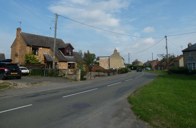
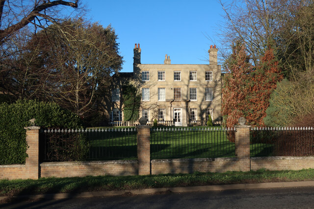
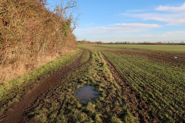
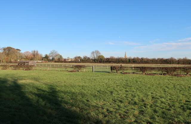
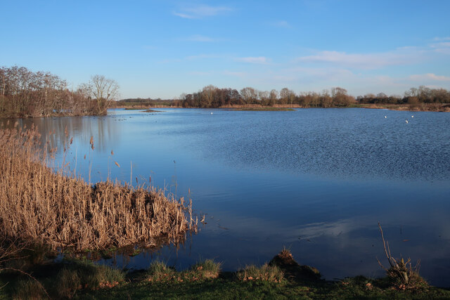
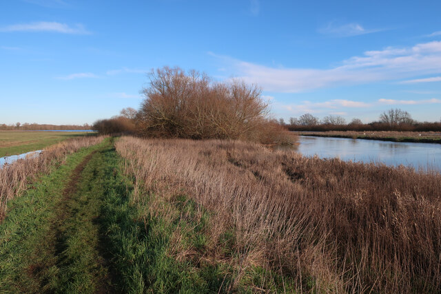
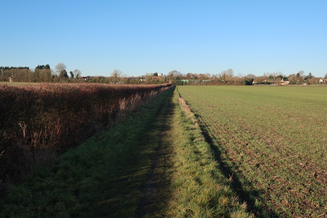
The village is characterized by its picturesque countryside setting, with rolling hills, meadows, and woodlands surrounding the area. It is a tranquil and idyllic place, offering residents and visitors a peaceful retreat from the hustle and bustle of nearby urban areas.

Wood End is primarily a residential area, with a small population of around 200 residents. The houses in the village vary in style and age, ranging from traditional cottages to more modern properties. There are no shops or amenities within the village itself, but the nearby town of Huntingdon provides all necessary facilities and services.

The village is well-connected, with good road links to nearby towns and cities. The A14 road runs close to Wood End, providing easy access to Cambridge and Peterborough. Additionally, there are regular bus services that connect the village to surrounding areas.

Wood End is surrounded by beautiful natural landscapes, making it an ideal location for outdoor enthusiasts. The nearby Hinchingbrooke Country Park offers extensive walking and cycling trails, as well as opportunities for wildlife spotting and picnicking.

Overall, Wood End is a charming and tranquil village, offering a peaceful and rural lifestyle within easy reach of larger towns and cities.

If you have any feedback on the listing, please let us know in the comments section below.

Wood End Images

Images are sourced within 2km of 52.356464/0.001074292 or Grid Reference TL3675. Thanks to Geograph Open Source API. All images are credited.

St Mary, Bluntisham: late September 2021
Approaching the junction of the A1123 with Holliday's Road
Village sign, Colne
Village sign, Colne
St Helen, Colne: late September 2021
Looking north-east along the High Street
Bluntisham Waste Recycling Centre Clearing up after Christmas, in the rain
Bluntisham Waste Recycling Centre
Clearing up after Christmas, in the rain
Houses at Bluntisham A semi-detached pair at the junction of Holliday's Road with Rectory Road [A1123]. The RH one looks as if it has nest boxes for swifts, or other birds, under the eaves?
Houses at Bluntisham
A semi-detached pair at the junction of Holliday's Road with Rectory Road [A1123]. The RH one looks as if it has nest boxes for swifts, or other birds, under the eaves?
The Colne Road [B1050] at Earith The brick building is a gas governor.
The Colne Road [B1050] at Earith
The brick building is a gas governor.
Little Fen Floodplain by the Great Ouse.
Little Fen
Floodplain by the Great Ouse.
River Great Ouse
River Great Ouse
Bluntisham House
Bluntisham House
Path to Bluntisham
Path to Bluntisham
Horse paddocks by Bluntisham
Barleycroft Lake Former gravel pit, now part of the RSPB Ouse Fen reserve, which also covers Needingworth Lakes, Berry Fen and the new reedbeds east of the Ouse, which is the area generally referred to as Ouse Fen.
Barleycroft Lake
Former gravel pit, now part of the RSPB Ouse Fen reserve, which also covers Needingworth Lakes, Berry Fen and the new reedbeds east of the Ouse, which is the area generally referred to as Ouse Fen.
Ouse Valley Way
Ouse Valley Way
Footpath to Bluntisham
Cyclepath by A1123
Cyclepath by A1123
Barleycroft Lake Former gravel pit, now part of the RSPB Ouse Fen reserve, which also covers Needingworth Lakes, Berry Fen and the new reedbeds east of the Ouse, which is the area generally referred to as Ouse Fen.
Barleycroft Lake
Former gravel pit, now part of the RSPB Ouse Fen reserve, which also covers Needingworth Lakes, Berry Fen and the new reedbeds east of the Ouse, which is the area generally referred to as Ouse Fen.
Show me another place!

Wood End is located at Grid Ref: TL3675 (Lat: 52.356464, Lng: 0.001074292)

Administrative County: Cambridgeshire

District: Huntingdonshire

Police Authority: Cambridgeshire

What 3 Words

///gobbles.forwarded.discusses. Near Bluntisham, Cambridgeshire

Nearby Locations

Wood End

Related Wikis

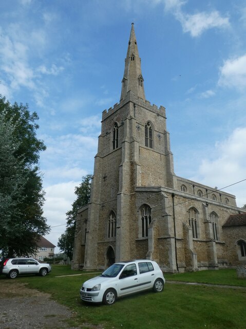
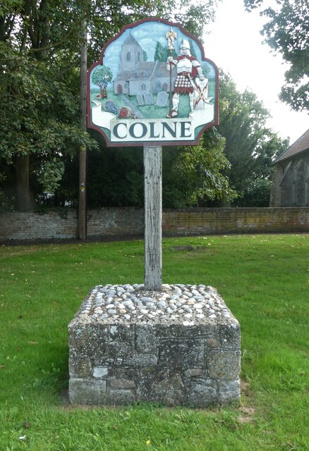
Colne, Cambridgeshire

Colne is a village and civil parish in Cambridgeshire, England. Colne lies about 9 miles (14 km) east of Huntingdon; the villages of Bluntisham, Woodhurst...

Bluntisham railway station

Bluntisham railway station was a station in Bluntisham, Cambridgeshire on the Ely and St Ives Railway. The station closed for regular passenger services...

Bluntisham

Bluntisham is a village and civil parish in Cambridgeshire, England. The population of the civil parish at the 2011 census was 2,003. Bluntisham lies approximately...

Earith

Earith is a village and civil parish in Cambridgeshire, England. Lying approximately 10 miles (16 km) east of Huntingdon, Earith is situated within Huntingdonshire...

Nearby Amenities

Located within 500m of 52.356464,0.001074292
Bus Stop
High Street
Bus: yes
Naptan AtcoCode: 0500HBLUN011
Naptan Bearing: S
Naptan CommonName: High Street
Naptan Indicator: o/s 23
Naptan Landmark: Sayers Court
Naptan NaptanCode: CMBDMTAD
Naptan ShortCommonName: Sayers Court
Naptan Street: High Street
Naptan Verified: no
Public Transport: platform
Source: naptan_import
Lat/Long: 52.3540099/0.0070551
Post Box
Ref: PE28 53
Lat/Long: 52.3565667/0.0020089
Post Box
Ref: PE28 255
Lat/Long: 52.357106/0.008062
Pub
The White Swan
Lat/Long: 52.3539301/0.0067096
Fast Food
May Garden
Cuisine: chinese
Lat/Long: 52.3539328/0.0064218
Barrier: cycle_barrier
Lat/Long: 52.3539628/0.0069737
Post Box
Ref: PE28 98
Lat/Long: 52.3542618/0.0065113
Barrier: cycle_barrier
Lat/Long: 52.3552515/0.0067707
Heath Fruit Farm
Landuse: farm
Note Retag: CS #48756035
Lat/Long: 52.357268/-0.0060513
Power: pole
Lat/Long: 52.3535603/0.0047634
Power: pole
Lat/Long: 52.3543435/-0.0008691
Power: pole
Lat/Long: 52.3534391/0.0010674
Power: pole
Lat/Long: 52.3539093/6.7E-5
Power: pole
Lat/Long: 52.3543043/0.0022261
Power: pole
Lat/Long: 52.355107/0.0022636
Power: pole
Lat/Long: 52.3534655/0.0021402
Power: pole
Lat/Long: 52.3534457/0.0031219
Power: pole
Lat/Long: 52.3528374/0.0033433
Power: pole
Lat/Long: 52.356034/-0.0044498
Power: pole
Lat/Long: 52.35684/-0.0062254
Power: pole
Lat/Long: 52.3563961/-0.0052411
Power: pole
Lat/Long: 52.3553427/-0.00298
Power: pole
Lat/Long: 52.3550905/-0.0024274
Power: pole
Lat/Long: 52.3593067/0.0048814
Power: pole
Lat/Long: 52.3599585/0.0055519
Power: pole
Lat/Long: 52.3587496/0.0043396
Power: pole
Lat/Long: 52.3585272/0.0037524
Turning Circle
Lat/Long: 52.3602413/0.0041604
Bench
Lat/Long: 52.3565873/-0.0028149
Bench
Lat/Long: 52.3544007/-0.0024917
Barrier: kissing_gate
Lat/Long: 52.3565992/-0.002589
The data included in this document is from www.openstreetmap.org. The data is made available under ODbL.

Have you been to Wood End?

Leave your review of Wood End below (or comments, questions and feedback).