Wood End

Settlement in Bedfordshire

England

Wood End

Red Gate Farm From a footpath to the north-east.
Red Gate Farm Credit: Kokai

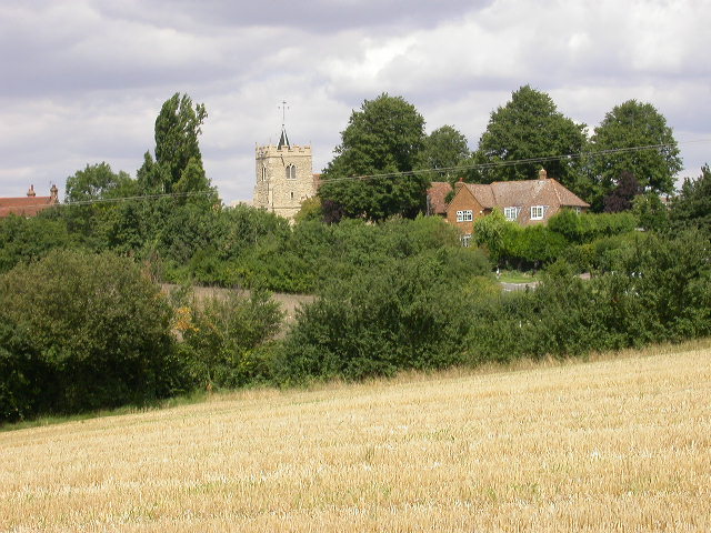
Wood End is a small village located in the county of Bedfordshire, England. It is situated approximately 5 miles south of the town of Luton and 35 miles north of London. The village is part of the Central Bedfordshire district and falls within the civil parish of Caddington.

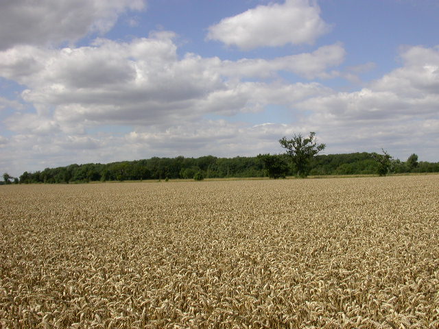
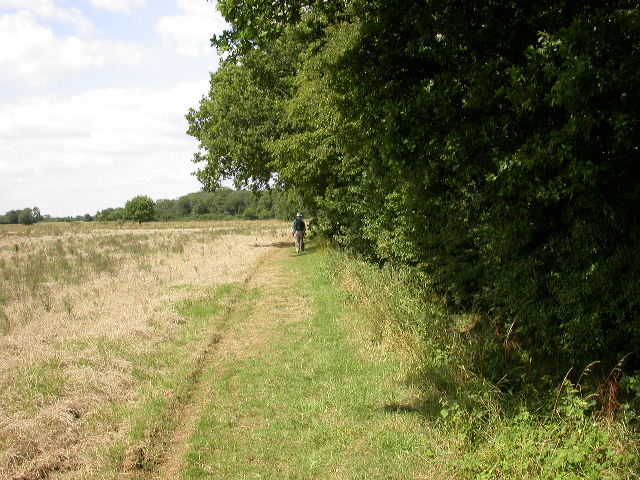
Wood End is a predominantly residential area with a population of around 500 residents. The village is known for its peaceful and rural setting, surrounded by open countryside and farmland. It offers a tranquil escape from the hustle and bustle of nearby urban areas.

The village has a close-knit community and a friendly atmosphere. It is characterized by a mix of traditional and modern architecture, with a range of housing options available including detached houses, cottages, and bungalows.

Wood End benefits from its proximity to the nearby town of Luton, which provides residents with access to a wide range of amenities and services including shops, supermarkets, schools, healthcare facilities, and leisure activities.

The village is well-connected to major transport links, with easy access to the M1 motorway and the A6 road. Luton Airport, a major international airport, is also within close proximity, making it convenient for residents to travel both domestically and internationally.

Overall, Wood End offers a peaceful and picturesque village lifestyle while still providing easy access to nearby urban areas and amenities.

If you have any feedback on the listing, please let us know in the comments section below.
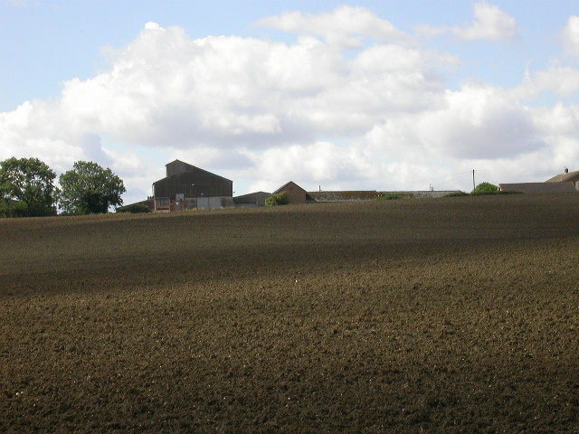
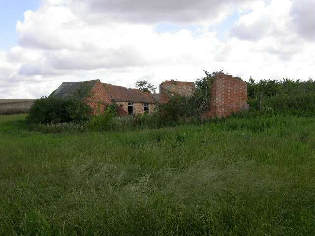
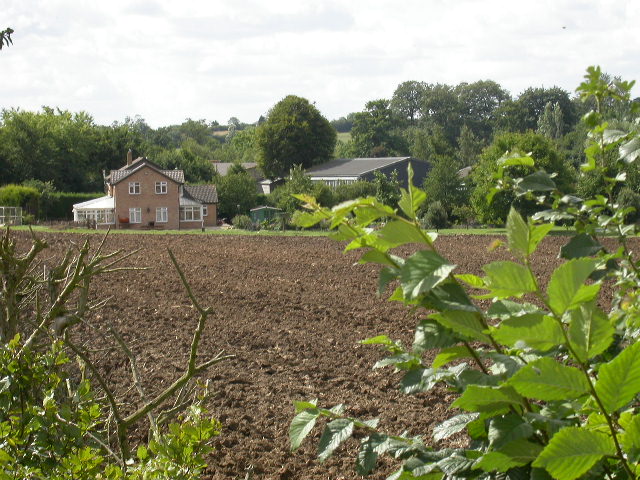
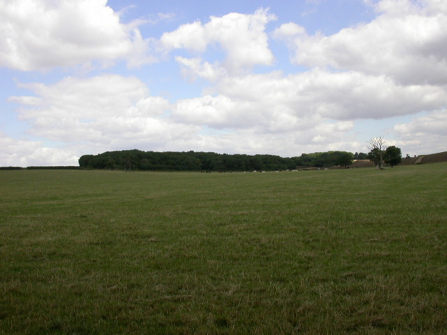
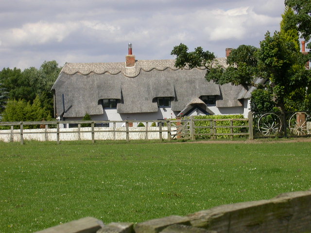
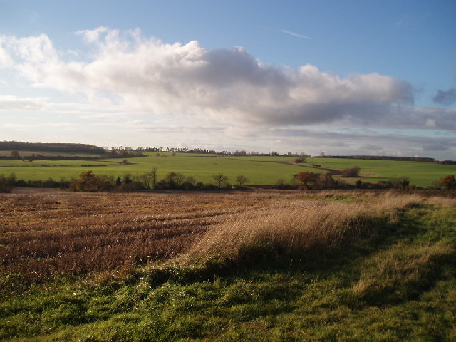
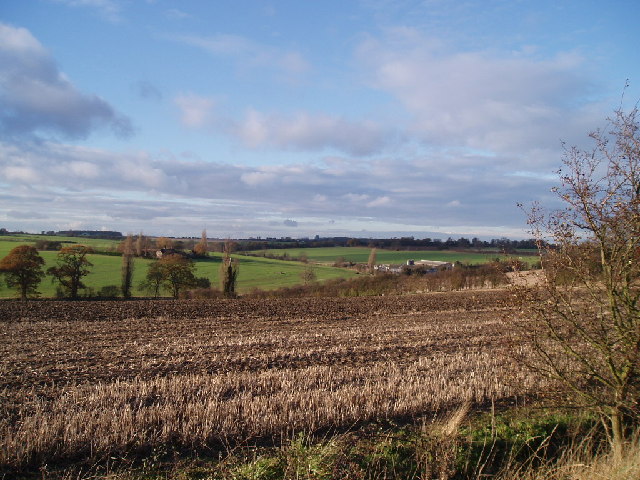
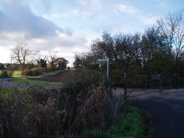
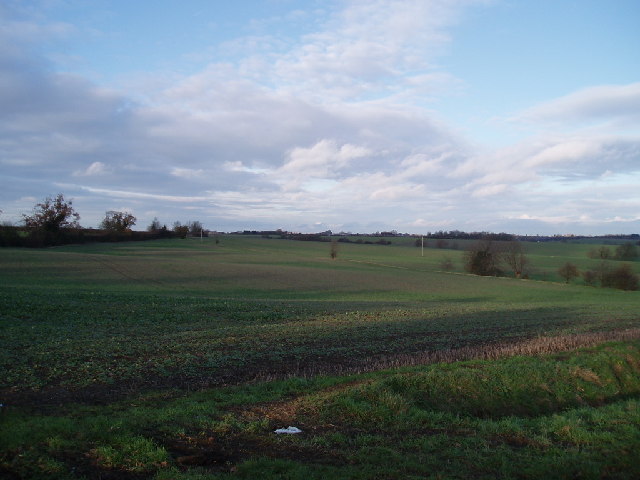
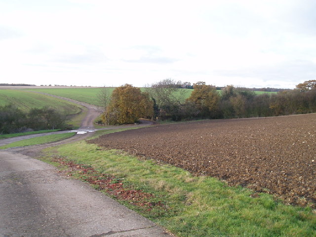
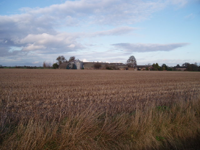
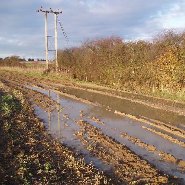
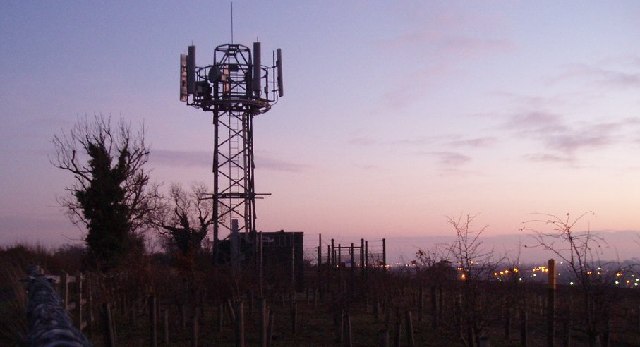
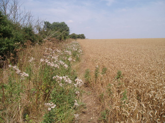
Wood End Images

Images are sourced within 2km of 52.186817/-0.45188212 or Grid Reference TL0555. Thanks to Geograph Open Source API. All images are credited.

Red Gate Farm From a footpath to the north-east.
Red Gate Farm
From a footpath to the north-east.
Remains of the old Brook Farm From a footpath to the west. A kilometre or so to the south is another set of buildings, called Brook Farm, which are in use.
Remains of the old Brook Farm
From a footpath to the west. A kilometre or so to the south is another set of buildings, called Brook Farm, which are in use.
Brook Farm, Ravensden Taken from a footpath west of the buildings.
Brook Farm, Ravensden
Taken from a footpath west of the buildings.
Great and Little Woods The left section is The Great Wood.  Little Wood is to the right.
Great and Little Woods
The left section is The Great Wood. Little Wood is to the right.
Church at Ravensden All Saints Church. The original tower was C12th but the one seen in the image is a C15th replacement.
Church at Ravensden
All Saints Church. The original tower was C12th but the one seen in the image is a C15th replacement.
Water Tower Taken from a byway to the south of the tower.
Water Tower
Taken from a byway to the south of the tower.
Tilwick Wood From a bridleway to the south of the wood.
Tilwick Wood
From a bridleway to the south of the wood.
Beside Tilwick Wood Short Wood can be seen in the distance.
Beside Tilwick Wood
Short Wood can be seen in the distance.
Park End Farm House Taken from a bridleway to the west.
Park End Farm House
Taken from a bridleway to the west.
Hills to the back of Brickhill View from the Cleat Hill to Graze Hill road, looking across to Clapham Park wood on the left horizon
Hills to the back of Brickhill
View from the Cleat Hill to Graze Hill road, looking across to Clapham Park wood on the left horizon
View from Graze Hill With Highfield House on the right
View from Graze Hill
With Highfield House on the right
Entrance to Outfields farm
Fields between Trayslefield farm and Manor farm Looking towards Thurleigh in the distance
Fields between Trayslefield farm and Manor farm
Looking towards Thurleigh in the distance
Roads in Outfields farm These roads are being extended, straightened, and paved (as of December 2005) to provide another access route to the biodiesel plant near Twinwood farm
Roads in Outfields farm
These roads are being extended, straightened, and paved (as of December 2005) to provide another access route to the biodiesel plant near Twinwood farm
Outfields farm Looking across a field to the farmhouse
Outfields farm
Looking across a field to the farmhouse
Mud! Typical "right of way" on Bedford farmland.  Accessible only with tractors.
Mud!
Typical "right of way" on Bedford farmland. Accessible only with tractors.
Phone mast near Cleat Hill Sunset pic with the lights of Bedford in the background
Phone mast near Cleat Hill
Sunset pic with the lights of Bedford in the background
Bridleway
Bridleway
Show me another place!

Wood End is located at Grid Ref: TL0555 (Lat: 52.186817, Lng: -0.45188212)

Unitary Authority: Bedford

Police Authority: Bedfordshire

What 3 Words

///chats.quitter.flicks. Near Wilden, Bedfordshire

Nearby Locations

Wood End

Related Wikis

Tilwick Meadow

Tilwick Meadow is a 2.6-hectare (6.4-acre) biological Site of Special Scientific Interest between Thurleigh and Wilden in Bedfordshire. It was notified...

Ravensden

Ravensden is a village and civil parish located in the Borough of Bedford in Bedfordshire, England. The parish borders the town of Bedford, with Mowsbury...

Church of All Saints, Ravensden

Church of All Saints is a Grade I listed church in Ravensden, Bedfordshire, England. It became a listed building on 13 July 1964. == See also == Grade...

Freeman's Common

Freeman's Common is a 12.5 hectare area of land situated to the north of Bedford, in the parish of Ravensden. It was created in 1858. Over many years...

Nearby Amenities

Located within 500m of 52.186817,-0.45188212
Wood End
Place: locality
Source: OS first series
Lat/Long: 52.18659/-0.4510464
The data included in this document is from www.openstreetmap.org. The data is made available under ODbL.

Have you been to Wood End?

Leave your review of Wood End below (or comments, questions and feedback).