Wood Green
Settlement in Buckinghamshire
England
Wood Green
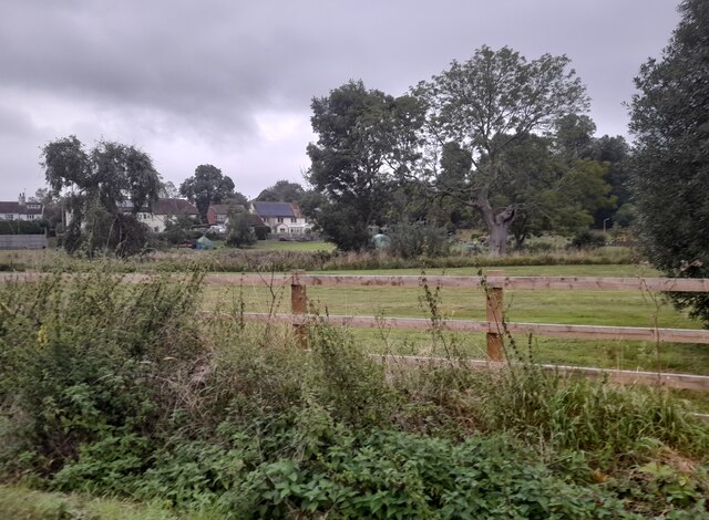
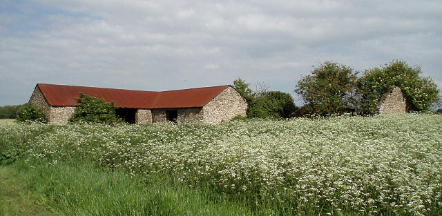
Wood Green is a small village located in the county of Buckinghamshire, England. Situated approximately 30 miles northwest of London, it falls within the district of Chiltern. The village is nestled in the picturesque Chiltern Hills, surrounded by scenic countryside and charming rural landscapes.
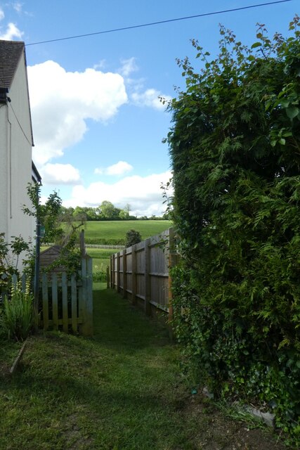
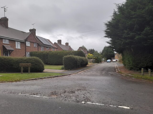
Wood Green is known for its tranquility and close-knit community. The village comprises predominantly of residential properties, ranging from quaint cottages to more modern houses. The village center is characterized by a small cluster of shops and amenities, including a local convenience store and a few traditional pubs.
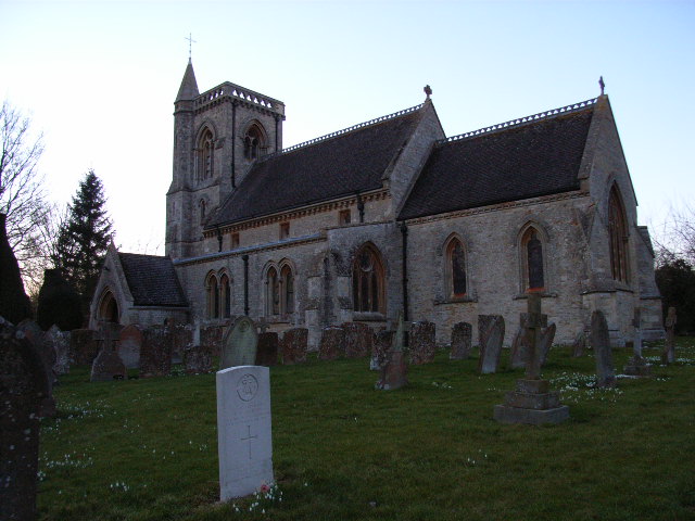
The village boasts a rich history, with some of its buildings dating back several centuries. The St. John the Baptist Church, built in the 13th century, stands as a testament to the village's heritage and architectural significance.
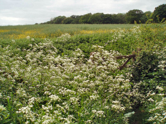
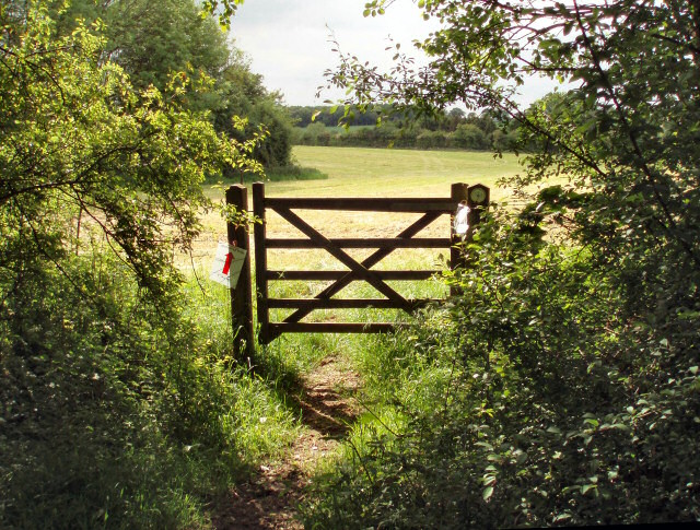
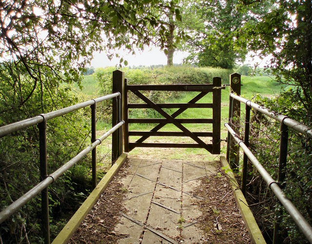
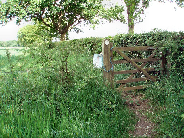
Wood Green is an ideal location for nature enthusiasts, as it offers easy access to numerous walking trails and outdoor activities. The nearby Chiltern Hills provide ample opportunities for hiking, cycling, and exploring the surrounding woodlands.
Despite its rural setting, Wood Green enjoys excellent transport links. The village is conveniently located near major road networks, including the M40 motorway, allowing for easy travel to nearby towns and cities. The nearby railway stations of Amersham and Chorleywood provide regular train services to London, making it a desirable commuter village.
Overall, Wood Green offers a peaceful and idyllic setting, combined with convenient amenities and excellent transport connections, making it an attractive place to reside for both families and commuters alike.
If you have any feedback on the listing, please let us know in the comments section below.
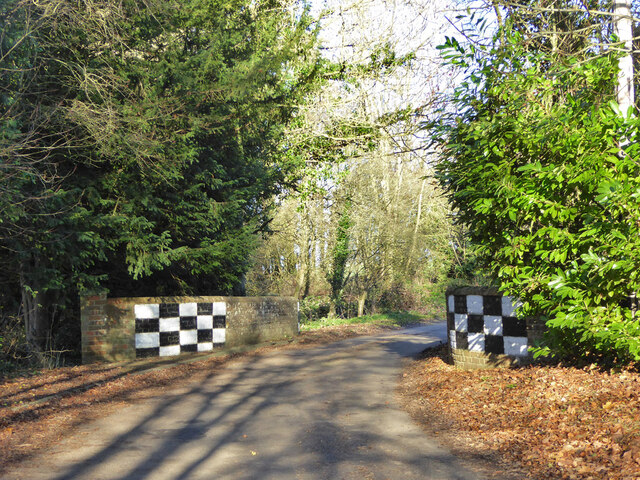
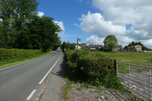
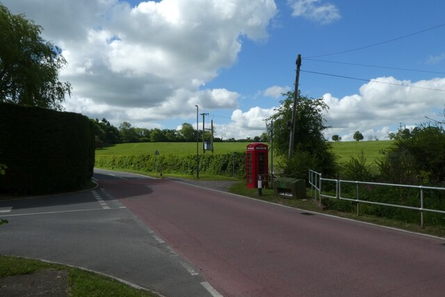
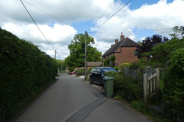
Wood Green Images
Images are sourced within 2km of 52.04134/-1.0559336 or Grid Reference SP6438. Thanks to Geograph Open Source API. All images are credited.


Wood Green is located at Grid Ref: SP6438 (Lat: 52.04134, Lng: -1.0559336)
Unitary Authority: Buckinghamshire
Police Authority: Thames Valley
What 3 Words
///length.detective.suspect. Near Tingewick, Buckinghamshire
Nearby Locations
Related Wikis

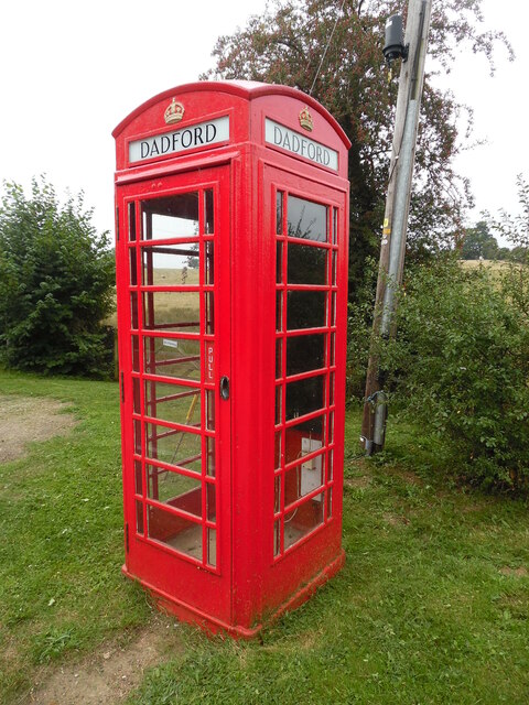
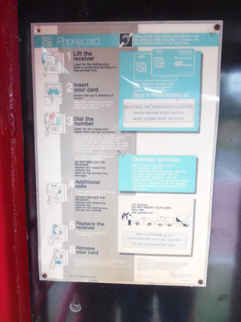
Dadford
Dadford is a hamlet in the parish of Stowe, north Buckinghamshire, England.The hamlet is named Anglo Saxon in origin, meaning, Dodda's Ford in modern English...
Shalstone
Shalstone is a village and civil parish in Buckinghamshire, England. It is located in the north of the county, about four miles north west of Buckingham...
Biddlesden Park
Biddlesden Park is a country house at Biddlesden in north-west Buckinghamshire. It is a Grade II* listed building. == History == The house, which lies...

Biddlesden Abbey
Biddlesden was a Cistercian abbey founded in 1147 by Arnold de Bosco (de Bois), steward to the Earl of Leicester. Abbot William Wibert was deposed in 1198...
Nearby Amenities
Located within 500m of 52.04134,-1.0559336Have you been to Wood Green?
Leave your review of Wood Green below (or comments, questions and feedback).