Whitehill
Settlement in Pembrokeshire
Wales
Whitehill
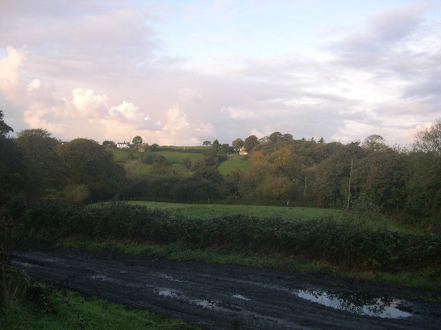
Whitehill is a small village located in the county of Pembrokeshire, Wales. Situated in the southwestern part of the country, it is nestled in a picturesque rural setting, surrounded by rolling hills and lush green fields. The village is positioned approximately 3 miles northeast of the town of Milford Haven and 10 miles southwest of the county town of Haverfordwest.
Whitehill is characterized by its tranquil and idyllic atmosphere, offering a peaceful retreat from the hustle and bustle of urban life. The village is predominantly residential, with a small number of houses and cottages dotting the landscape. The architecture in Whitehill is typically traditional, reflecting the charm and heritage of rural Wales.
The village benefits from its close proximity to the Pembrokeshire Coast National Park, a renowned area of natural beauty. This allows residents and visitors of Whitehill to easily access stunning coastal walks, sandy beaches, and breathtaking views across the rugged coastline. The park also offers a range of outdoor activities, including hiking, cycling, and birdwatching.
Although Whitehill is a small village, it is well-connected to nearby towns and cities. The A4076 road passes through the village, providing convenient access to Milford Haven and Haverfordwest. Additionally, there are regular bus services that connect Whitehill to the surrounding areas.
Overall, Whitehill offers a serene and picturesque setting, making it an attractive place for those seeking a peaceful rural lifestyle within close proximity to the stunning Pembrokeshire coastline.
If you have any feedback on the listing, please let us know in the comments section below.
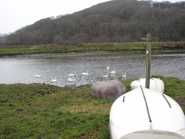
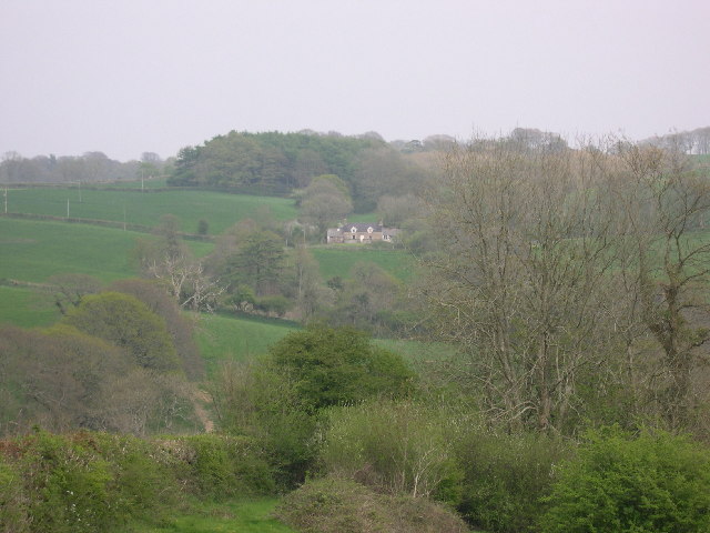
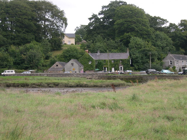
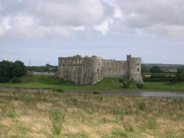
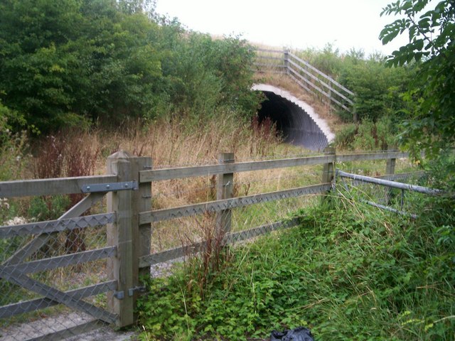
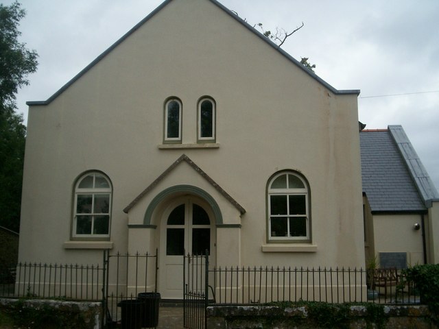
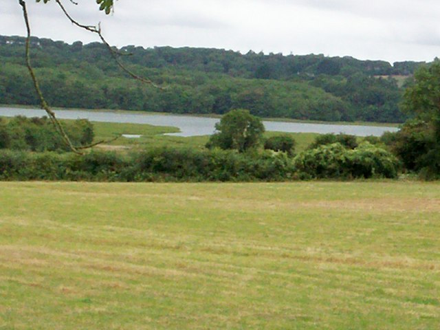
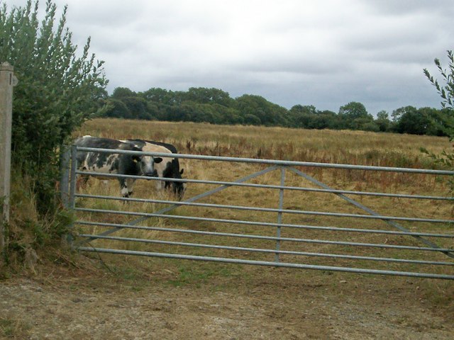
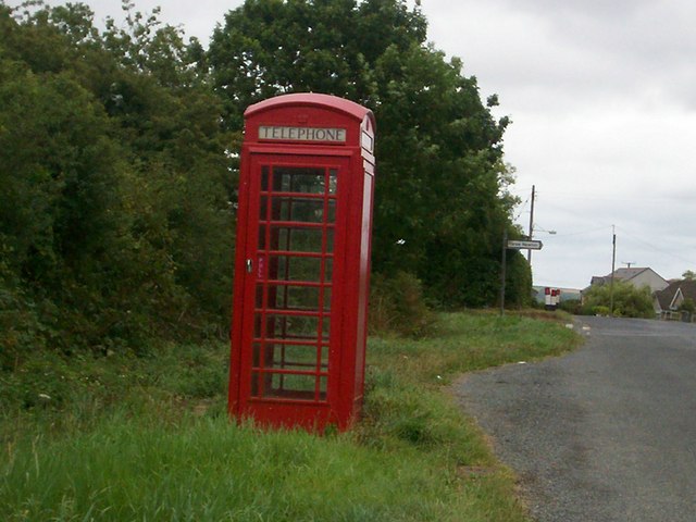
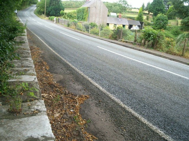
Whitehill Images
Images are sourced within 2km of 51.708853/-4.8179916 or Grid Reference SN0504. Thanks to Geograph Open Source API. All images are credited.
Whitehill is located at Grid Ref: SN0504 (Lat: 51.708853, Lng: -4.8179916)
Unitary Authority: Pembrokeshire
Police Authority: Dyfed Powys
What 3 Words
///because.chucked.tomorrow. Near Jeffreyston, Pembrokeshire
Nearby Locations
Related Wikis

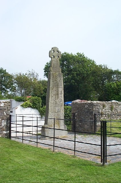
Carew Cross
Carew Cross (Welsh: Croes Caeriw) is an 11th-century Grade I listed monument in the village of Carew, Pembrokeshire, Wales. == History == The cross is...

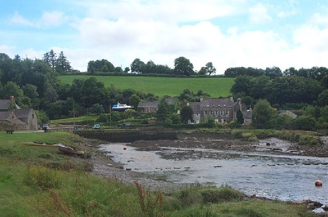
Carew, Pembrokeshire
Carew (Welsh: Caeriw) is a village, parish and community on an inlet of Milford Haven in the former Hundred of Narberth, Pembrokeshire, West Wales, 4 miles...

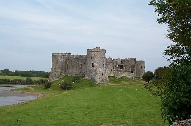
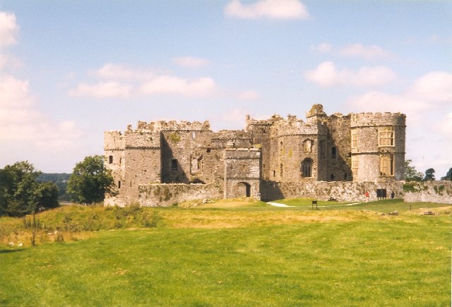
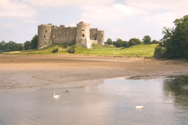
Carew Castle
Carew Castle (Welsh: Castell Caeriw) is a castle in the civil parish of Carew in Pembrokeshire, Wales. The Carew family take their name from this site...
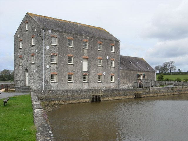
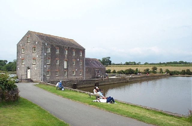
Carew Tidal Mill
Carew Tidal Mill (Welsh: Melin Caeriw), also called the French Mill, is a corn mill in Pembrokeshire, Wales, powered by tidal water. It was built around...
Nearby Amenities
Located within 500m of 51.708853,-4.8179916Have you been to Whitehill?
Leave your review of Whitehill below (or comments, questions and feedback).