Branders Park
Downs, Moorland in Pembrokeshire
Wales
Branders Park
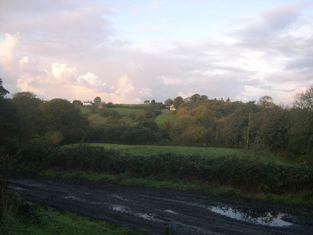
Branders Park is a picturesque area located in Pembrokeshire, Wales, known for its stunning downs and moorland landscapes. Covering an expansive area of approximately 2,500 acres, this park offers visitors a unique opportunity to explore and immerse themselves in the natural beauty of the region.
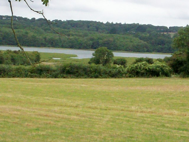
The downs in Branders Park are characterized by their rolling hills and vast open spaces. These grassy areas provide a perfect spot for leisurely walks or picnics, offering breathtaking panoramic views of the surrounding countryside. The downs are home to a variety of plant species, including wildflowers and grasses, creating a vibrant and colorful landscape throughout the year.
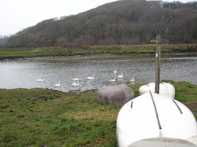
Adjacent to the downs, the moorland in Branders Park is a vast expanse of heather-covered hills and peat bogs. This diverse habitat supports a rich array of wildlife, including birds of prey, such as kestrels and buzzards, as well as rare plant species like the purple moor grass. Exploring the moorland can be an exhilarating experience, with its rugged terrain and hidden valleys waiting to be discovered.
Branders Park is also known for its network of walking trails, which offer visitors the chance to explore the park at their own pace. These trails cater to all levels of fitness and provide access to some of the park's most scenic spots, such as the breathtaking viewpoint overlooking the nearby coastline.
In conclusion, Branders Park in Pembrokeshire offers nature enthusiasts and outdoor lovers a captivating experience with its downs, moorland, diverse wildlife, and picturesque walking trails. Whether visitors seek tranquility, adventure, or a deeper connection with nature, this park is a must-visit destination.
If you have any feedback on the listing, please let us know in the comments section below.
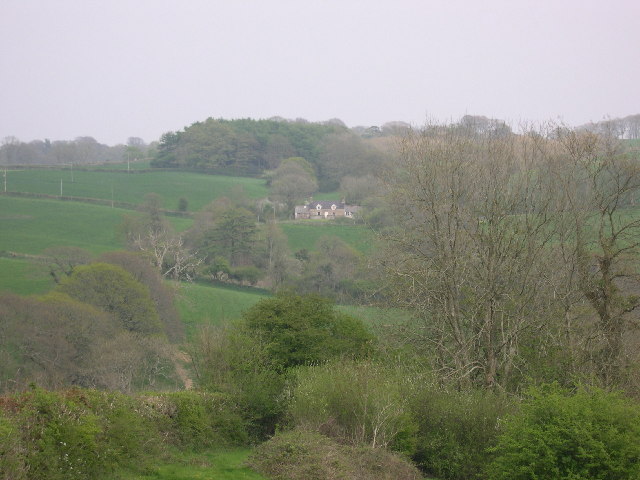
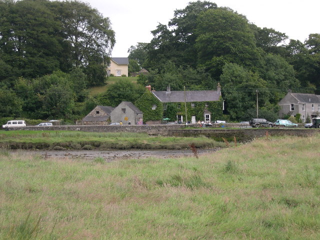
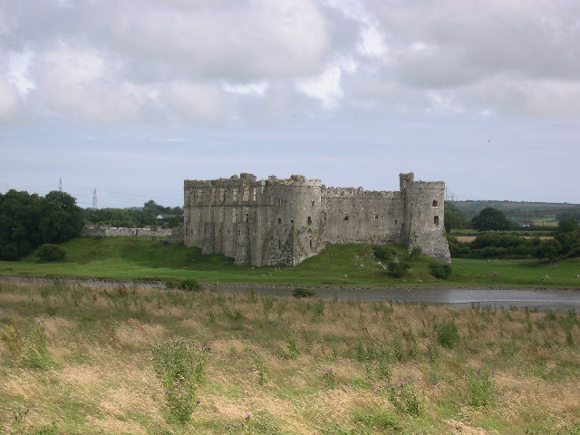
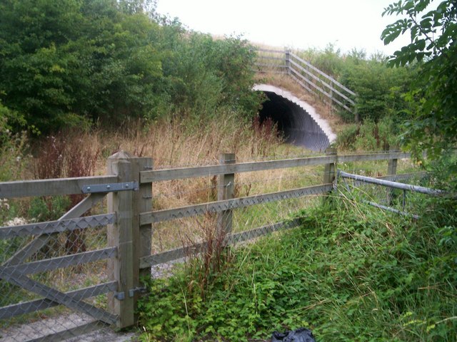
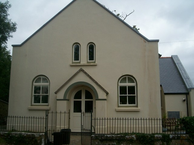
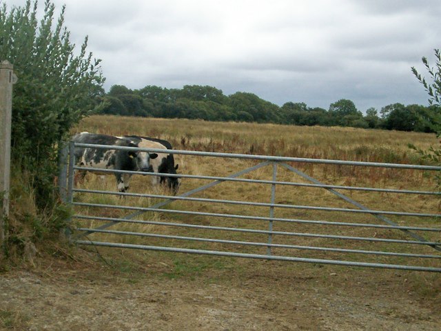
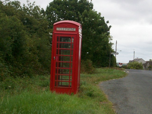
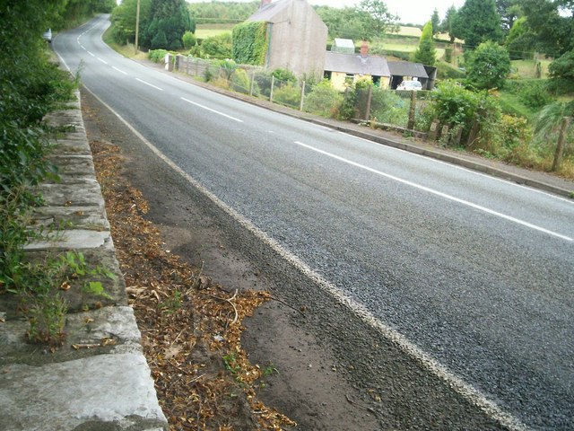
Branders Park Images
Images are sourced within 2km of 51.709028/-4.8170615 or Grid Reference SN0504. Thanks to Geograph Open Source API. All images are credited.
Branders Park is located at Grid Ref: SN0504 (Lat: 51.709028, Lng: -4.8170615)
Unitary Authority: Pembrokeshire
Police Authority: Dyfed Powys
What 3 Words
///thickened.papers.driftwood. Near Jeffreyston, Pembrokeshire
Nearby Locations
Related Wikis

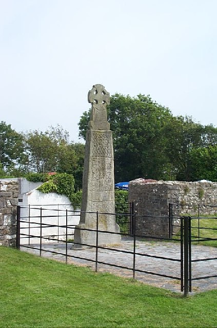
Carew Cross
Carew Cross (Welsh: Croes Caeriw) is an 11th-century Grade I listed monument in the village of Carew, Pembrokeshire, Wales. == Description == The cross...

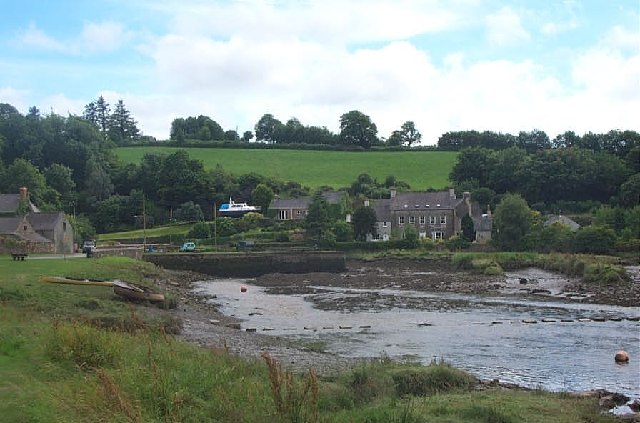
Carew, Pembrokeshire
Carew (Welsh: Caeriw) is a village, parish and community on an inlet of Milford Haven in the former Hundred of Narberth, Pembrokeshire, West Wales, 4 miles...

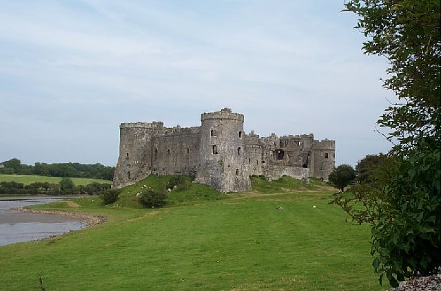
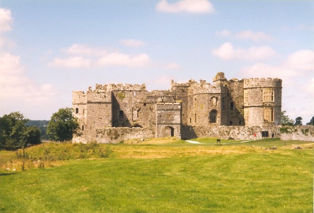
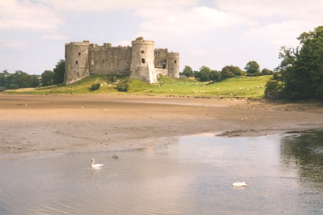
Carew Castle
Carew Castle (Welsh: Castell Caeriw) is a castle in the civil parish of Carew in Pembrokeshire, Wales. The Carew family take their name from this site...
Cresselly Cricket Club Ground
Cresselly Cricket Club Ground is a cricket ground in Cresselly, Pembrokeshire. The first recorded match on the ground was in 1979, when Welsh Schools...
Nearby Amenities
Located within 500m of 51.709028,-4.8170615Have you been to Branders Park?
Leave your review of Branders Park below (or comments, questions and feedback).