Whitehill
Settlement in Fife
Scotland
Whitehill
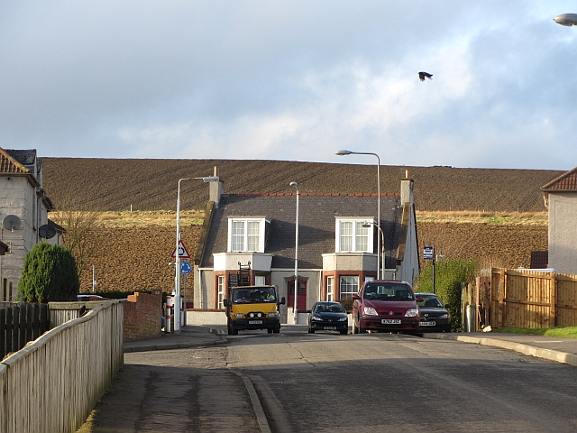
Whitehill is a small village located in the region of Fife, Scotland. Situated in the eastern part of the country, it is nestled between the towns of Auchtermuchty and Ladybank. With a population of around 500 residents, Whitehill is a peaceful and close-knit community.
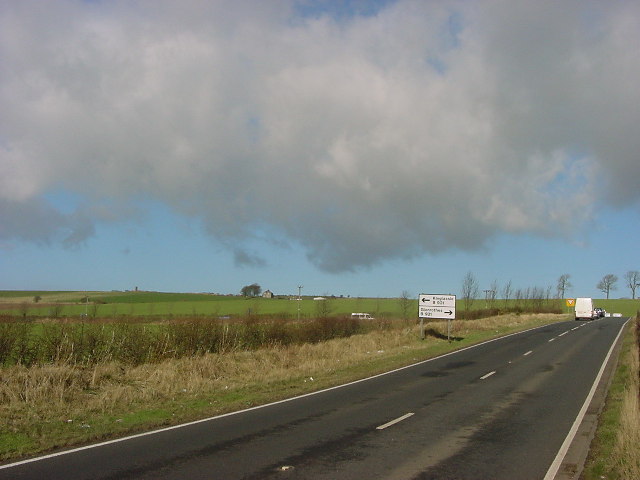
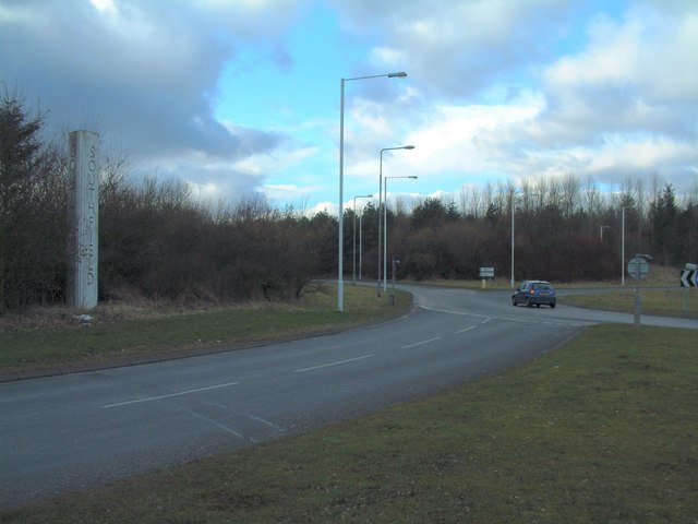
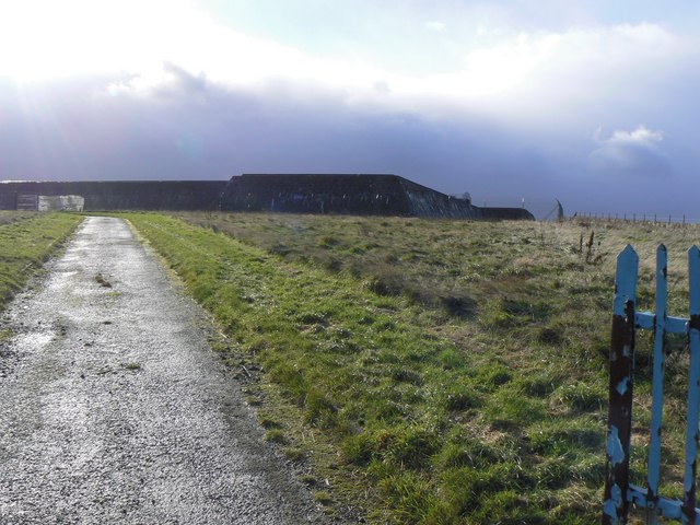
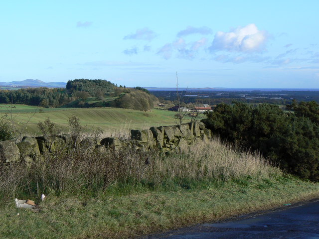
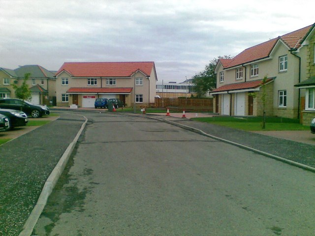
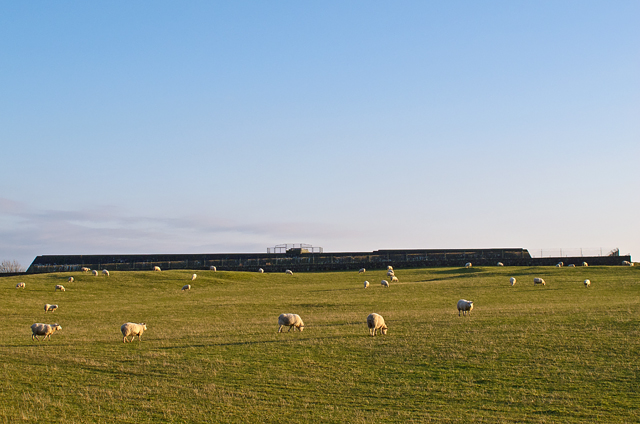
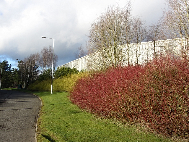
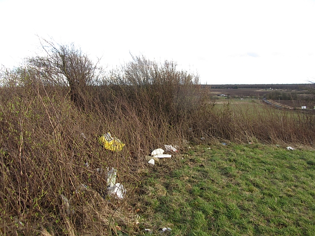
The village is characterized by its charming rural setting, surrounded by rolling hills and picturesque farmland. The landscape offers stunning views of the Scottish countryside, attracting visitors who appreciate natural beauty. Whitehill's tranquil atmosphere makes it an ideal place for those seeking a peaceful retreat or a break from the hustle and bustle of urban life.
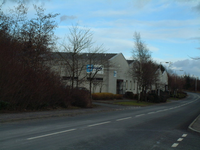
While primarily residential, Whitehill has a few local amenities to cater to the needs of its residents. A small convenience store provides essentials, while a local pub serves as a gathering place for both locals and visitors. The village also benefits from its proximity to nearby towns, where additional services and amenities can be found.
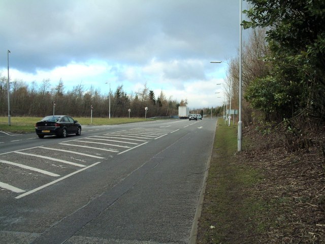
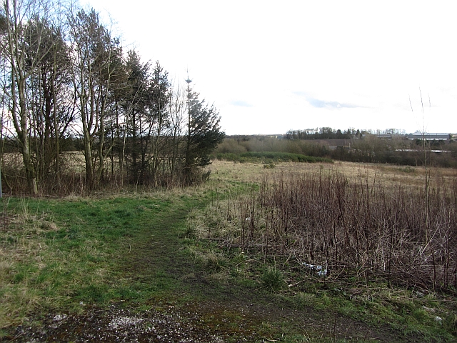
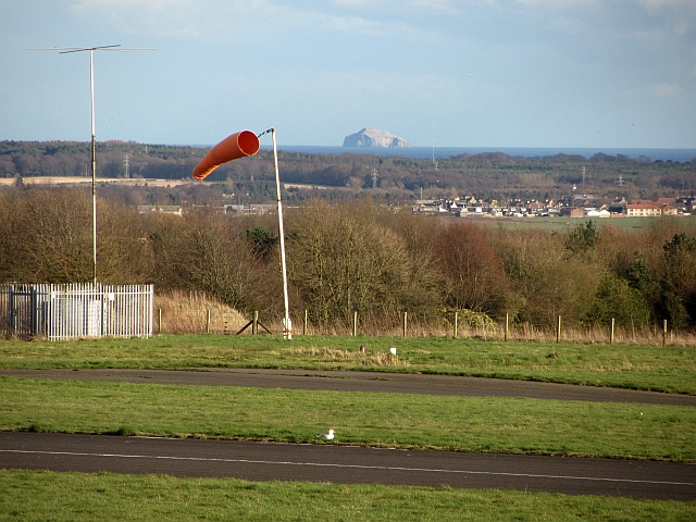
The area surrounding Whitehill offers plenty of opportunities for outdoor activities, such as hiking, cycling, and fishing. The nearby Lomond Hills Regional Park is a popular destination for nature enthusiasts, providing a variety of walking trails and breathtaking views. Additionally, the village is well-connected to the broader region through reliable transportation links, making it easily accessible for both residents and tourists.
With its picturesque setting and close community spirit, Whitehill offers a tranquil and scenic haven in the heart of Fife, Scotland.
If you have any feedback on the listing, please let us know in the comments section below.
Whitehill Images
Images are sourced within 2km of 56.18303/-3.2063981 or Grid Reference NT2599. Thanks to Geograph Open Source API. All images are credited.


Whitehill is located at Grid Ref: NT2599 (Lat: 56.18303, Lng: -3.2063981)
Unitary Authority: Fife
Police Authority: Fife
What 3 Words
///horn.plus.waddled. Near Leslie, Fife
Nearby Locations
Related Wikis
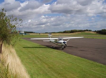
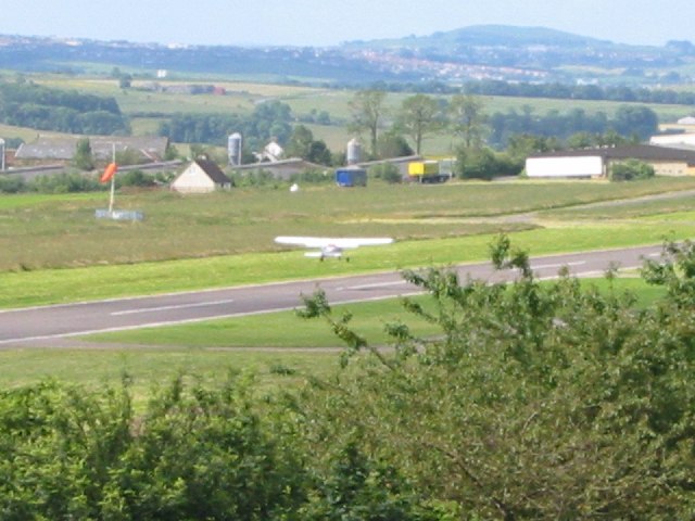
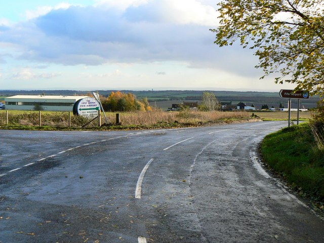
Fife Airport
Fife Airport (ICAO: EGPJ) (Scottish Gaelic: Port-adhair Fìobha) is an unlicensed aerodrome located 2 nautical miles (3.7 km; 2.3 mi) west of Glenrothes...

Glenwood High School, Glenrothes
Glenwood High School is a comprehensive, co-educational and non-denominational school serving the western part of the town of Glenrothes, Fife, Scotland...

Leslie railway station
Leslie railway station served the village of Leslie, Fife, Scotland, from 1861 to 1932 on the Leslie Railway. == History == The station was opened on 1...

Glenrothes High School
Glenrothes High School is a six-year non-denominational secondary school of approximately 860 pupils located in Glenrothes, Fife, Scotland. The school...
Nearby Amenities
Located within 500m of 56.18303,-3.2063981Have you been to Whitehill?
Leave your review of Whitehill below (or comments, questions and feedback).