Whinnyknowe

Settlement in Fife

Scotland

Whinnyknowe

Covid-19 vaccine centre In the Kingdom Centre shopping mall, Glenrothes. There is more than one vaccine centre in this shopping mall.
Covid-19 vaccine centre Credit: Bill Kasman

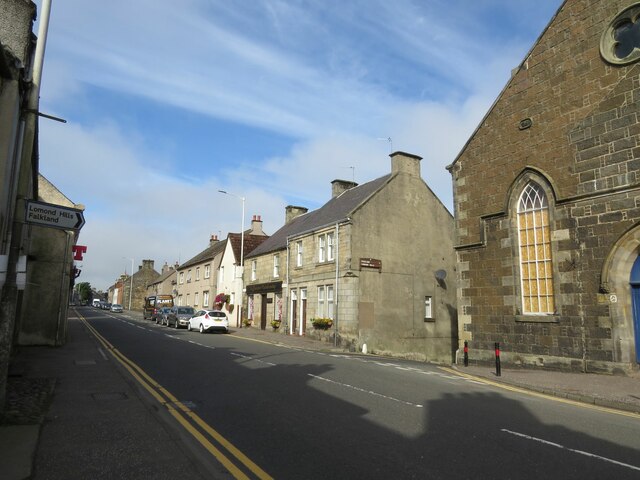
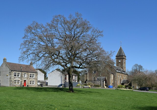
Whinnyknowe is a small village located in the historical county of Fife, Scotland. Situated about 4 miles northeast of the town of Cupar, it is nestled amidst the picturesque countryside of the region. The village is characterized by its serene and tranquil atmosphere, making it an idyllic place to live or visit.

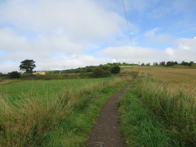
Whinnyknowe boasts a charming collection of traditional stone houses, giving it a distinct rural charm. The village is surrounded by lush green fields and rolling hills, offering breathtaking views of the surrounding landscape. This makes it a popular destination for nature lovers, hikers, and cyclists who enjoy exploring the great outdoors.

Despite its quaint size, Whinnyknowe is well-connected to the nearby towns and cities. The village benefits from good road links, with the A91 just a short distance away, providing easy access to Cupar and other major towns in Fife. Additionally, the nearby Cupar railway station allows for convenient travel to and from Edinburgh and other destinations.

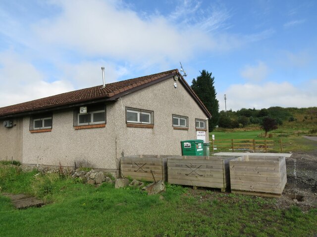
Whinnyknowe is also home to a close-knit community that takes pride in its local heritage. The villagers often come together for various social events and activities, strengthening the community spirit. Local amenities in Whinnyknowe are limited, but residents have easy access to facilities and services in the nearby town of Cupar, including shops, schools, and healthcare facilities.

In summary, Whinnyknowe offers a peaceful retreat from the hustle and bustle of city life, with its stunning natural surroundings and strong community spirit. It is an ideal place for those seeking a quieter, more rural lifestyle while still being within reach of essential amenities.

If you have any feedback on the listing, please let us know in the comments section below.
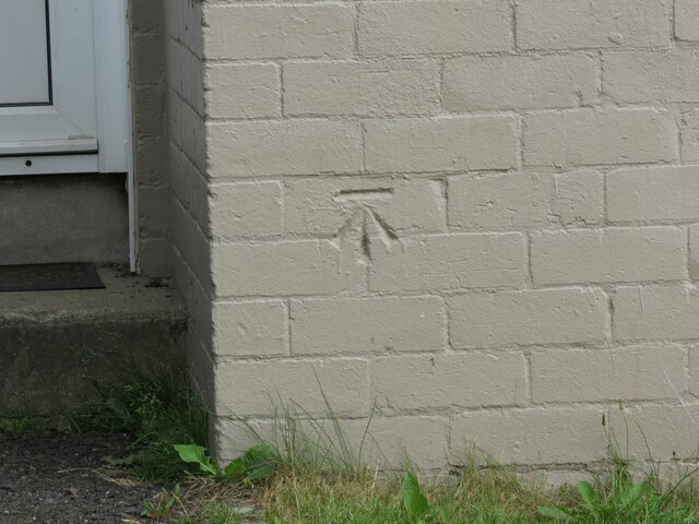
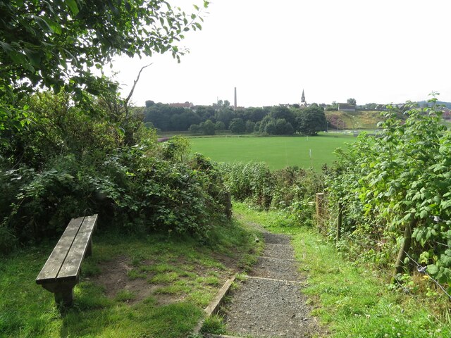
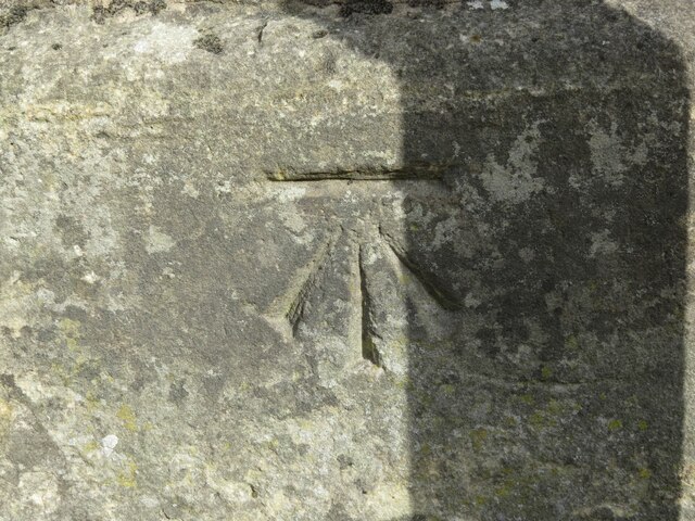
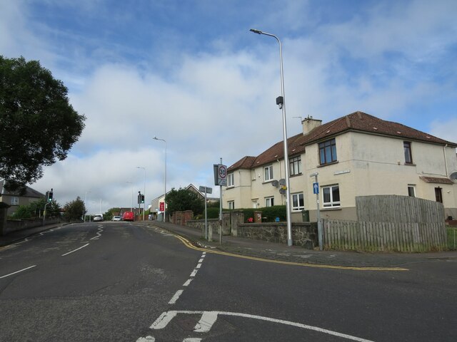
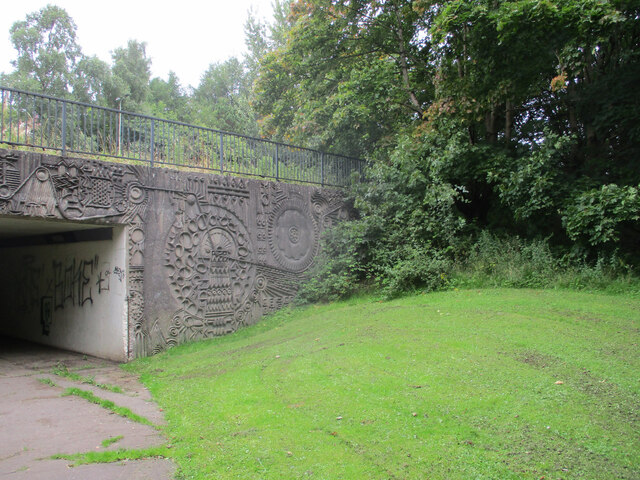
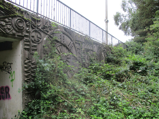
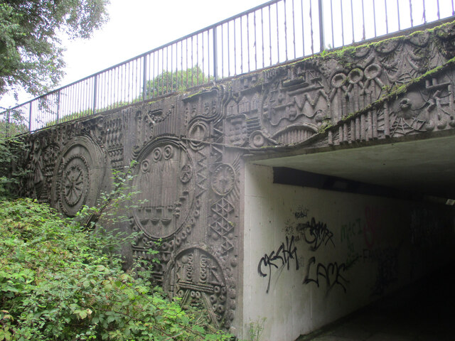
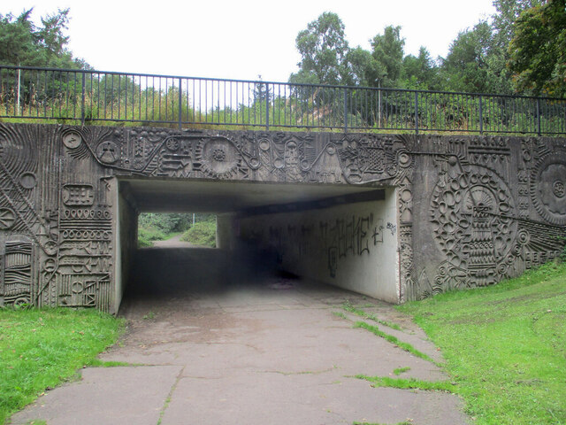
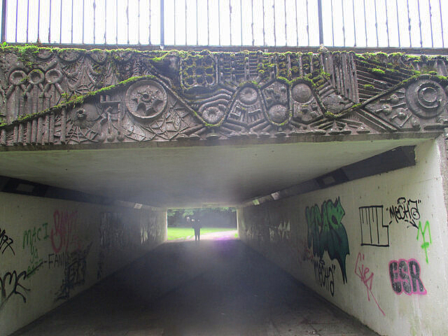
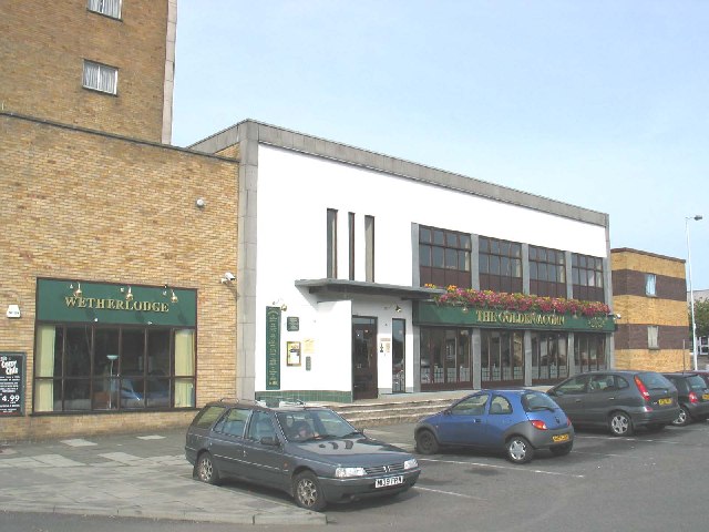
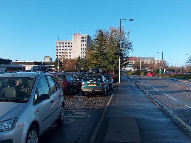
Whinnyknowe Images

Images are sourced within 2km of 56.205018/-3.187712 or Grid Reference NO2602. Thanks to Geograph Open Source API. All images are credited.

Covid-19 vaccine centre In the Kingdom Centre shopping mall, Glenrothes. There is more than one vaccine centre in this shopping mall.
Covid-19 vaccine centre
In the Kingdom Centre shopping mall, Glenrothes. There is more than one vaccine centre in this shopping mall.
Benchmark on #3 Maryfield Crescent, Leslie Ordnance Survey benchmark described on database at <span class="nowrap"><a title="https://www.bench-marks.org.uk/bm152766" rel="nofollow ugc noopener" href="https://www.bench-marks.org.uk/bm152766">Link</a><img style="margin-left:2px;" alt="External link" title="External link - shift click to open in new window" src="https://s1.geograph.org.uk/img/external.png" width="10" height="10"/></span>. See also <a href="https://www.geograph.org.uk/photo/6976155">NO2401 : #3 Maryfield Crescent, Leslie</a>.
Benchmark on #3 Maryfield Crescent, Leslie
Ordnance Survey benchmark described on database at LinkExternal link. See also NO2401 : #3 Maryfield Crescent, Leslie.
Bench with a view Situated near Leslie Golf Course with the rugby field in the background.
Bench with a view
Situated near Leslie Golf Course with the rugby field in the background.
Benchmark on Leslie Town Hall Ordnance Survey benchmark, described on database at <span class="nowrap"><a title="https://www.bench-marks.org.uk/bm152765" rel="nofollow ugc noopener" href="https://www.bench-marks.org.uk/bm152765">Link</a><img style="margin-left:2px;" alt="External link" title="External link - shift click to open in new window" src="https://s1.geograph.org.uk/img/external.png" width="10" height="10"/></span>. See also <a href="https://www.geograph.org.uk/photo/6976188">NO2501 : Leslie Town Hall and Main Street</a>.
Benchmark on Leslie Town Hall
Ordnance Survey benchmark, described on database at LinkExternal link. See also NO2501 : Leslie Town Hall and Main Street.
#3 Maryfield Crescent, Leslie There is an Ordnance Survey benchmark on the house on the right. See <a href="https://www.geograph.org.uk/photo/6975089">NO2401 : Benchmark on #3 Maryfield Crescent, Leslie</a>.
#3 Maryfield Crescent, Leslie
There is an Ordnance Survey benchmark on the house on the right. See NO2401 : Benchmark on #3 Maryfield Crescent, Leslie.
Leslie Town Hall and Main Street There is an Ordnance Survey benchmark on the town hall. See <a href="https://www.geograph.org.uk/photo/6976129">NO2501 : Benchmark on Leslie Town Hall</a>.
Leslie Town Hall and Main Street
There is an Ordnance Survey benchmark on the town hall. See NO2501 : Benchmark on Leslie Town Hall.
Track near Roaring Hill, Leslie
Leslie Goff Club House
Western Avenue underpass artworks The west side of the south portal, with the A92 Western Avenue above.
Western Avenue underpass artworks
The west side of the south portal, with the A92 Western Avenue above.
Western Avenue underpass artworks The east side of the south portal, with the A92 Western Avenue above.
Western Avenue underpass artworks
The east side of the south portal, with the A92 Western Avenue above.
Western Avenue underpass artworks The west side of the north portal, with the A92 Western Avenue above.
Western Avenue underpass artworks
The west side of the north portal, with the A92 Western Avenue above.
Western Avenue underpass artworks The east side of the north portal, with the A92 Western Avenue above.
Western Avenue underpass artworks
The east side of the north portal, with the A92 Western Avenue above.
Western Avenue underpass artworks The south portal, with the A92 Western Avenue above.
Western Avenue underpass artworks
The south portal, with the A92 Western Avenue above.
Western Avenue underpass artworks The north portal, with the A92 Western Avenue above.
Western Avenue underpass artworks
The north portal, with the A92 Western Avenue above.
Greenside scene, Leslie A very attractive public green space at the east end of the village.  From left-to-right we see: 20 Greenside, a C-listed cottage from ca. 1824: LB37288 <span class="nowrap"><a title="https://portal.historicenvironment.scot/designation/LB37288" rel="nofollow ugc noopener" href="https://portal.historicenvironment.scot/designation/LB37288">Link</a><img style="margin-left:2px;" alt="External link" title="External link - shift click to open in new window" src="https://s1.geograph.org.uk/img/external.png" width="10" height="10"/></span> ; note the 'bipartite' doubled windows; just to the left of the tree and in front of the car, the bull stone (C-listed LB37289 <span class="nowrap"><a title="https://portal.historicenvironment.scot/designation/LB37289" rel="nofollow ugc noopener" href="https://portal.historicenvironment.scot/designation/LB37289">Link</a><img style="margin-left:2px;" alt="External link" title="External link - shift click to open in new window" src="https://s1.geograph.org.uk/img/external.png" width="10" height="10"/></span> ), of 17th Century or earlier, where a bull was tethered in the savage 'sport' of bull baiting; Christ's Kirk on the Green (Leslie Parish Church), dating from 1869 and replacing earlier churches on the site (B-listed LB37291 <span class="nowrap"><a title="https://portal.historicenvironment.scot/designation/LB37291" rel="nofollow ugc noopener" href="https://portal.historicenvironment.scot/designation/LB37291">Link</a><img style="margin-left:2px;" alt="External link" title="External link - shift click to open in new window" src="https://s1.geograph.org.uk/img/external.png" width="10" height="10"/></span> ).  The kirk is now out of use.
Greenside scene, Leslie
A very attractive public green space at the east end of the village. From left-to-right we see: 20 Greenside, a C-listed cottage from ca. 1824: LB37288 LinkExternal link ; note the 'bipartite' doubled windows; just to the left of the tree and in front of the car, the bull stone (C-listed LB37289 LinkExternal link ), of 17th Century or earlier, where a bull was tethered in the savage 'sport' of bull baiting; Christ's Kirk on the Green (Leslie Parish Church), dating from 1869 and replacing earlier churches on the site (B-listed LB37291 LinkExternal link ). The kirk is now out of use.
Wetherlodge, Glenrothes Lodge accommodation in the town centre of Glenrothes, Fife.
Wetherlodge, Glenrothes
Lodge accommodation in the town centre of Glenrothes, Fife.
Glenrothes Town Centre, Fife
Fife Council Office Buildings, Glenrothes Fife House (left) and Kingdom House (right), Fife Council Offices in Glenrothes Town Centre.
Fife Council Office Buildings, Glenrothes
Fife House (left) and Kingdom House (right), Fife Council Offices in Glenrothes Town Centre.
Show me another place!

Whinnyknowe is located at Grid Ref: NO2602 (Lat: 56.205018, Lng: -3.187712)

Unitary Authority: Fife

Police Authority: Fife

What 3 Words

///gifts.snap.shell. Near Glenrothes, Fife

Related Wikis

Glenrothes Hospital

Glenrothes Hospital is a health facility in Lodge Rise, Glenrothes, Scotland. It is managed by NHS Fife. == History == The facility was built in the early...

Leslie House

Leslie House in Leslie, Fife — where several of the buildings are listed — is the largest and earliest Restoration house in Fife, Scotland, and was the...

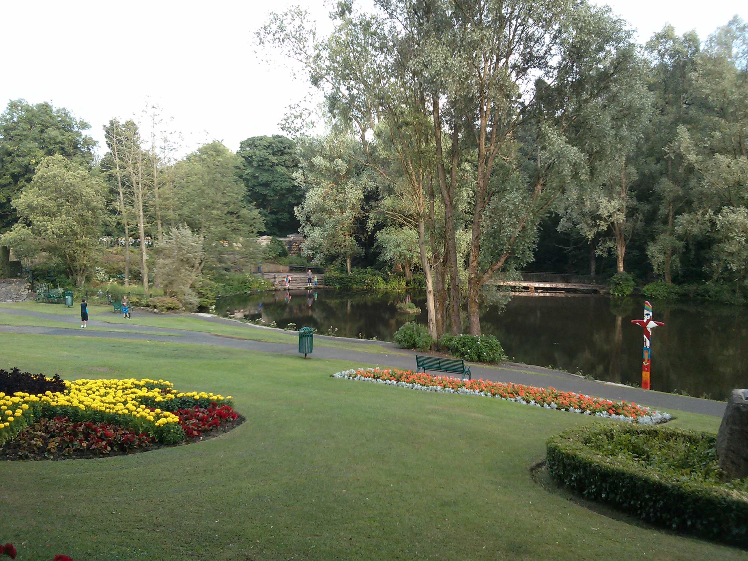
Riverside Park, Glenrothes

Riverside Park is a town park situated in the town of Glenrothes, Fife. The park has pleasant woodland walks, floral gardens, a pond and recently an Arboretum...

Glenrothes High School

Glenrothes High School is a six-year non-denominational secondary school of approximately 860 pupils located in Glenrothes, Fife, Scotland. The school...
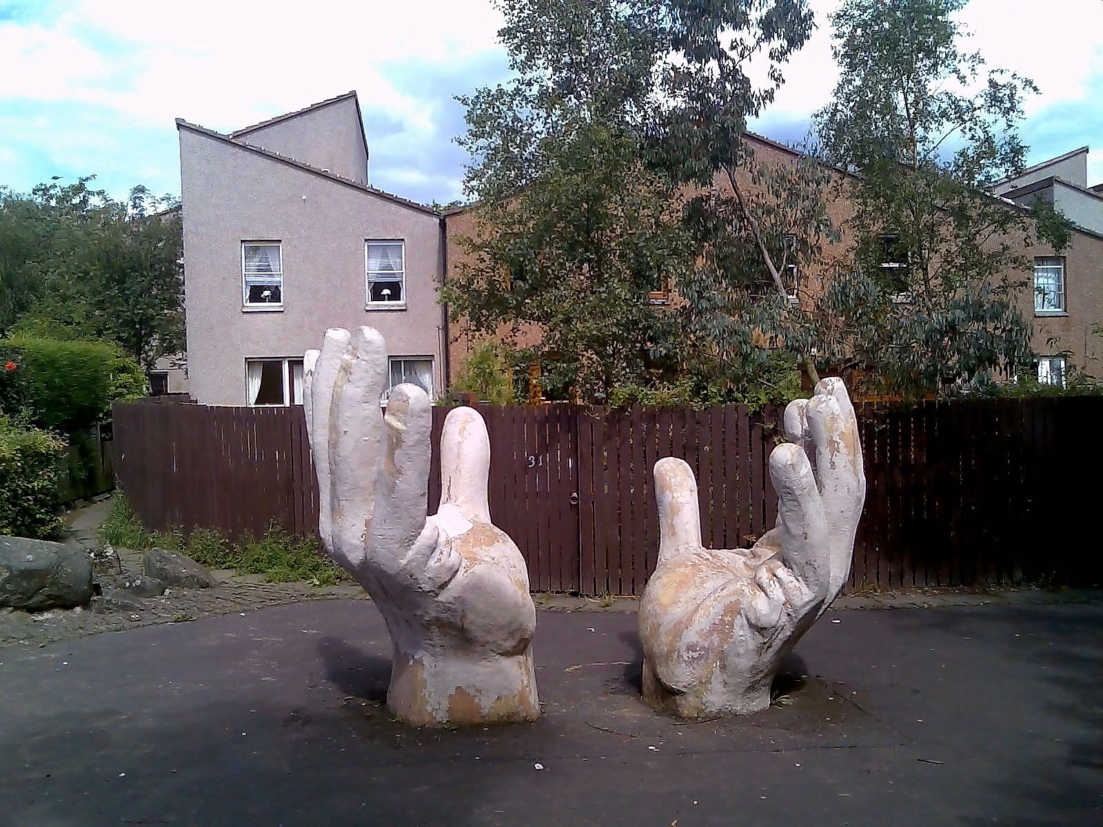
Collydean

Collydean is a precinct or neighbourhood in Glenrothes, Fife. Collydean has been built up in a number of phases. Early housing has been built into staggered...
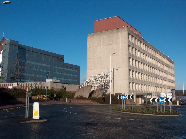
Glenrothes

Glenrothes (; , glen-ROTH-iss; Scots: Glenrothes; Scottish Gaelic: Gleann Rathais) is a town situated in the heart of Fife, in east-central Scotland. It...

Pitcoudie

Pitcoudie is a housing area in North Glenrothes in the Kingdom of Fife, Scotland - comprising 396 terraced and semi-detached houses. Traditionally, a pitcoudie...

Pitcairn House

Pitcairn House is a ruined 17th century laird's house, located in the modern Collydean residential area of Glenrothes, in Fife, Scotland. Pitcairn House...

Nearby Amenities

Located within 500m of 56.205018,-3.187712
Drinking Water: no
Natural: spring
Source: OS_OpenData_StreetView
Lat/Long: 56.2026636/-3.1934837
Turning Circle
Lat/Long: 56.2044388/-3.1923402
Barrier: bollard
Bicycle: yes
Bollard: fixed
Foot: yes
Motor Vehicle: no
Lat/Long: 56.2015499/-3.1844241
Crossing
Crossing: unmarked
Crossing Island: no
Kerb: lowered
Tactile Paving: no
Lat/Long: 56.2060133/-3.1823002
Crossing
Bicycle: yes
Button Operated: yes
Crossing: traffic_signals
Crossing Island: no
Crossing Ref: toucan
Kerb: lowered
Tactile Paving: yes
Traffic Signals Sound: yes
Traffic Signals Vibration: yes
Lat/Long: 56.2053938/-3.1870566
The Hands
Artwork Type: statue
Tourism: artwork
Lat/Long: 56.2052185/-3.1951536
The Defenceless One
Artist Name: Rudolf Christian Baisch
Artwork Type: sculpture
Source: Historic Scotland
Tourism: artwork
Lat/Long: 56.2019207/-3.1855034
The Good Samaritan
Artist Name: Ronald Rae
Artwork Type: sculpture
Source: Historic Scotland
Tourism: artwork
Lat/Long: 56.2026113/-3.1861175
Forest Screens
Artist Name: Malcolm Robertson
Artwork Type: sculpture
Source: Historic Scotland
Tourism: artwork
Lat/Long: 56.2035182/-3.1875534
Victorian Picture Frame
Artist Name: Hugh Graham
Artwork Type: sculpture
Source: Historic Scotland
Tourism: artwork
Lat/Long: 56.2038352/-3.1887904
Giant Irises
Artist Name: Malcolm Robertson
Artwork Type: sculpture
Source: Historic Scotland
Tourism: artwork
Lat/Long: 56.2047641/-3.1874341
Industry, Past and Present
Artist Name: David Harding
Artwork Type: mural
Source: Historic Scotland
Tourism: artwork
Lat/Long: 56.2068996/-3.1838643
Industry, Past and Present
Artist Name: David Harding
Artwork Type: mural
Source: Historic Scotland
Tourism: artwork
Lat/Long: 56.2070642/-3.184231
Crossing
Crossing: unmarked
Crossing Island: no
Kerb: lowered
Tactile Paving: no
Lat/Long: 56.2057474/-3.1838521
UFOs
Artist Name: Ian Swan
Artwork Type: sculpture
Source: Historic Scotland
Tourism: artwork
Lat/Long: 56.2020422/-3.1878816
Kerb: raised
Lat/Long: 56.2083834/-3.1841537
Breadalbane Court
Access: yes
Leisure: playground
Lat/Long: 56.2073011/-3.1913533
Post Box
Collection Times: Mo-Fr 09:00, Sa 07:00
Operator: Royal Mail
Ref: KY7 66
Royal Cypher: scottish_crown
Source: Survey Feb 2014
Lat/Long: 56.2058917/-3.18063
Crossing
Button Operated: yes
Crossing: traffic_signals
Crossing Island: no
Tactile Paving: yes
Traffic Signals Sound: yes
Traffic Signals Vibration: yes
Lat/Long: 56.2023539/-3.1843119
Kerb: raised
Lat/Long: 56.2048912/-3.1878109
Kerb: raised
Lat/Long: 56.2049353/-3.1879309
Bus Stop
Glenrothes
Bench: yes
Bin: no
Bus: yes
Lit: no
Public Transport: platform
Shelter: yes
Tactile Paving: no
Lat/Long: 56.2051897/-3.1936715
Bus Stop
Glenrothes
Bench: no
Bin: no
Bus: yes
Lit: no
Public Transport: platform
Shelter: no
Tactile Paving: no
Lat/Long: 56.2050952/-3.1936676
Kerb: raised
Lat/Long: 56.2090974/-3.1879911
Crossing
Crossing: unmarked
Crossing Island: no
Kerb: lowered
Tactile Paving: yes
Lat/Long: 56.2042435/-3.1840492
Was Leisure: playground
Lat/Long: 56.2089012/-3.1876866
Barrier: cycle_barrier
Cycle Barrier: double
Cycle Barrier Installation: fixed
Lat/Long: 56.2054447/-3.1871172
Leslie Parks
Place: suburb
Lat/Long: 56.2066604/-3.1813748
Crossing
Crossing: traffic_signals
Crossing Island: no
Crossing Ref: toucan
Kerb: lowered
Source: Survey Jul 2019
Tactile Paving: yes
Lat/Long: 56.2049886/-3.1892244
Crossing
Crossing: unmarked
Crossing Island: yes
Kerb: lowered
Tactile Paving: yes
Lat/Long: 56.205069/-3.1947719
Man Made: cross
Lat/Long: 56.203351/-3.1879036
Bus Stop
Riverside Park
Bench: no
Bin: no
Bus: yes
Lit: yes
Naptan AtcoCode: 6500K1520
Naptan NaptanCode: 34345789
Public Transport: platform
Shelter: no
Tactile Paving: no
Lat/Long: 56.2021979/-3.1839278
Bus Stop
Riverside Park
Bench: no
Bin: no
Bus: yes
Lit: yes
Public Transport: platform
Shelter: no
Tactile Paving: no
Lat/Long: 56.2025012/-3.184648
Bus Stop
Murdoch Park
Bench: yes
Bin: no
Bus: yes
Lit: no
Naptan AtcoCode: 6500K0923
Naptan NaptanCode: 34329639
Public Transport: platform
Shelter: yes
Tactile Paving: no
Lat/Long: 56.2090872/-3.1878272
Bus Stop
Murdoch Park
Bench: no
Bin: no
Bus: yes
Lit: no
Public Transport: platform
Shelter: no
Tactile Paving: no
Lat/Long: 56.2091656/-3.188133
Parking
Parking: street_side
Lat/Long: 56.2092777/-3.1853295
Parking
Parking: street_side
Lat/Long: 56.2089811/-3.1871043
Barrier: cycle_barrier
Cycle Barrier: double
Cycle Barrier Installation: fixed
Lat/Long: 56.204298/-3.1840421
Bus Stop
Aspen Avenue
Bench: yes
Bin: yes
Bus: yes
Departures Board: no
Lit: no
Naptan AtcoCode: 6500K1515
Naptan NaptanCode: 34345725
Public Transport: platform
Ref: 34345725
Shelter: yes
Tactile Paving: no
Lat/Long: 56.205997/-3.1809185
Riverside Mosaic
Artist Name: Kerry Wilson
Artwork Type: mural
Source: Friends of Riverside Park
Tourism: artwork
Lat/Long: 56.2016155/-3.1831376
Bench
Backrest: yes
Lat/Long: 56.2011691/-3.1843191
Information: route_marker
Tourism: information
Lat/Long: 56.2010833/-3.1843209
Waste Basket
Lat/Long: 56.2010812/-3.1844709
Bench
Backrest: yes
Lat/Long: 56.2047006/-3.1875563
Waste Basket
Lat/Long: 56.2047402/-3.1875218
Bench
Backrest: yes
Lat/Long: 56.2047758/-3.1875818
The data included in this document is from www.openstreetmap.org. The data is made available under ODbL.

Have you been to Whinnyknowe?

Leave your review of Whinnyknowe below (or comments, questions and feedback).