Whitbarrow

Settlement in Cumberland Eden

England

Whitbarrow

Track at Cocklakes Track at Cocklakes.
Track at Cocklakes Credit: Colin Kinnear

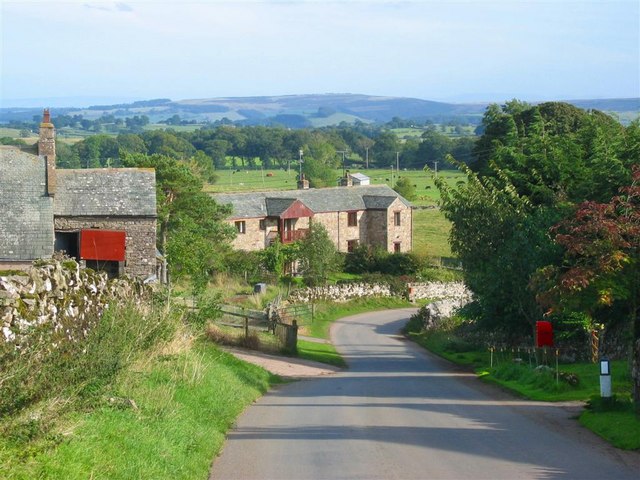
Whitbarrow is a picturesque village located in Cumberland, England. Situated at the foot of Whitbarrow Scar, a limestone escarpment, the village offers stunning views of the surrounding countryside and is a popular destination for nature lovers and outdoor enthusiasts.

The village itself is small and quaint, with traditional stone houses and a friendly community. It is known for its tranquil atmosphere and peaceful surroundings, making it an ideal place for those seeking a break from the hustle and bustle of city life.

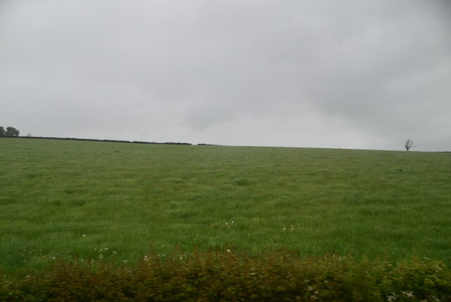
One of the main attractions of Whitbarrow is the Whitbarrow Nature Reserve, which covers a vast area of woodland, limestone pavement, and grassland. The reserve is home to a wide variety of flora and fauna, including rare orchids, butterflies, and birds. It is a haven for walkers and hikers, with numerous trails winding through the reserve, offering breathtaking views and opportunities to spot wildlife.

For history enthusiasts, Whitbarrow is also home to several ancient sites and landmarks. The most notable is the Iron Age hillfort on the summit of Whitbarrow Scar, which provides a glimpse into the area's rich past.

Overall, Whitbarrow in Cumberland is a charming and idyllic village that offers a perfect combination of natural beauty, tranquility, and historical significance. Whether you are looking to explore the natural wonders of the area or simply relax in a peaceful setting, Whitbarrow is a place that will captivate and enchant you.

If you have any feedback on the listing, please let us know in the comments section below.
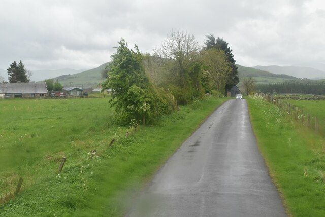
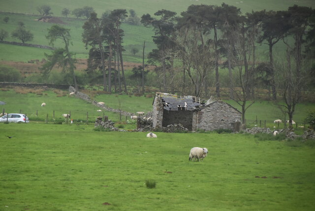
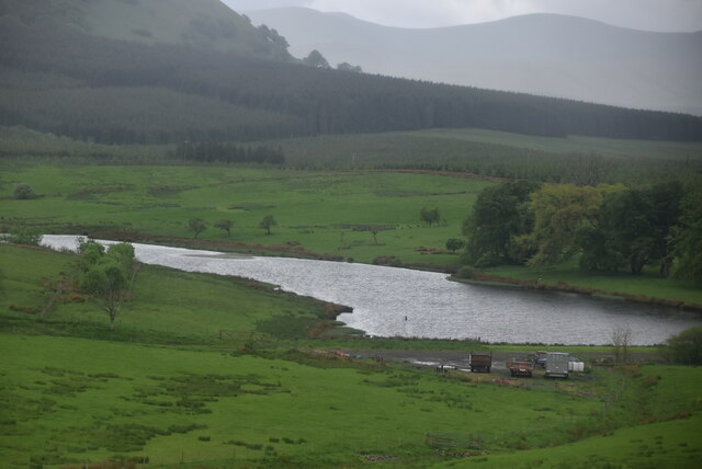
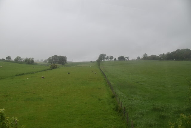
Whitbarrow Images

Images are sourced within 2km of 54.642995/-2.9231234 or Grid Reference NY4027. Thanks to Geograph Open Source API. All images are credited.

Track at Cocklakes Track at Cocklakes.
Track at Cocklakes
Track at Cocklakes.
Stream through a field near Troutbeck
Trees at field edge near Berrier
Fields with farm roads beside Whitbarrow Village Whitbarrow Village is a holiday development near to Penruddock. The image shows farmland to the east of the main building on the site, the view being to the east.
The hills of the north Pennines are on the horizon.
Fields with farm roads beside Whitbarrow Village
Whitbarrow Village is a holiday development near to Penruddock. The image shows farmland to the east of the main building on the site, the view being to the east. The hills of the north Pennines are on the horizon.
Minor road near Penruddock
Ruined barn
Ruined barn
Large barn
Large barn
Lake near Cocklakes
Lake near Cocklakes
A66 The A66 is a major road in northern England running from near Middlesbrough to Workington. The section between Scotch Corner and Penrith is a Trans-Pennine route between the A1 and M6, following an old Roman Road.
Wikipedia: <span class="nowrap"><a title="http://en.wikipedia.org/wiki/A66_road" rel="nofollow ugc noopener" href="http://en.wikipedia.org/wiki/A66_road">Link</a><img style="margin-left:2px;" alt="External link" title="External link - shift click to open in new window" src="https://s1.geograph.org.uk/img/external.png" width="10" height="10"/></span>
A66
The A66 is a major road in northern England running from near Middlesbrough to Workington. The section between Scotch Corner and Penrith is a Trans-Pennine route between the A1 and M6, following an old Roman Road. Wikipedia: LinkExternal link
Cocklakes House
Cocklakes House
Rural traffic, A66 The A66 is a major road in northern England running from near Middlesbrough to Workington. The section between Scotch Corner and Penrith is a Trans-Pennine route between the A1 and M6, following an old Roman Road.
Wikipedia: <span class="nowrap"><a title="http://en.wikipedia.org/wiki/A66_road" rel="nofollow ugc noopener" href="http://en.wikipedia.org/wiki/A66_road">Link</a><img style="margin-left:2px;" alt="External link" title="External link - shift click to open in new window" src="https://s1.geograph.org.uk/img/external.png" width="10" height="10"/></span>
Rural traffic, A66
The A66 is a major road in northern England running from near Middlesbrough to Workington. The section between Scotch Corner and Penrith is a Trans-Pennine route between the A1 and M6, following an old Roman Road. Wikipedia: LinkExternal link
A66 looking east The A66 is a major road in northern England running from near Middlesbrough to Workington. The section between Scotch Corner and Penrith is a Trans-Pennine route between the A1 and M6, following an old Roman Road.
Wikipedia: <span class="nowrap"><a title="http://en.wikipedia.org/wiki/A66_road" rel="nofollow ugc noopener" href="http://en.wikipedia.org/wiki/A66_road">Link</a><img style="margin-left:2px;" alt="External link" title="External link - shift click to open in new window" src="https://s1.geograph.org.uk/img/external.png" width="10" height="10"/></span>
A66 looking east
The A66 is a major road in northern England running from near Middlesbrough to Workington. The section between Scotch Corner and Penrith is a Trans-Pennine route between the A1 and M6, following an old Roman Road. Wikipedia: LinkExternal link
Tarn Moss Nature Reserve
Road between A66 and old course of road
Old course of A66
Old course of A66
Fenceline
Fenceline
Regional Route 71
Regional Route 71
North Lakeland pasture
Show me another place!

Whitbarrow is located at Grid Ref: NY4027 (Lat: 54.642995, Lng: -2.9231234)

Administrative County: Cumbria

District: Eden

Police Authority: Cumbria

What 3 Words

///available.joints.boss. Near Penrith, Cumbria

Nearby Locations

Cocklakes Hill Whitbarrow

Related Wikis

Berrier

Berrier is a hamlet in Cumbria, England. It is in the civil parish of Mungrisdale, which is made up of eight hamlets and had a population of 297 in the...

Beckces

Beckces is a hamlet approximately 800 yards (750 metres) west of Penruddock railway station on the former Cockermouth, Keswick & Penrith Railway within...

Troutbeck railway station

Troutbeck railway station was situated on the Cockermouth, Keswick and Penrith Railway between Penrith and Cockermouth in Cumberland (now in Cumbria),...

Penruddock railway station

Penruddock railway station was situated on the Cockermouth, Keswick and Penrith Railway between Penrith and Cockermouth in Cumberland (now in Cumbria)...

Nearby Amenities

Located within 500m of 54.642995,-2.9231234
Parking
Parking: street_side
Lat/Long: 54.6420263/-2.9156344
Post Box
Ref: CA11 209
Source: survey
Lat/Long: 54.6431609/-2.922557
Give Way
Direction: forward
Lat/Long: 54.6423303/-2.9255279
Give Way
Direction: forward
Lat/Long: 54.6419173/-2.9253039
Give Way
Direction: forward
Lat/Long: 54.6430398/-2.9231089
Give Way
Direction: backward
Lat/Long: 54.6421614/-2.9230431
Basecamp North Lakes
Addr City: Troutbeck
Addr Housename: Cocklakes House
Addr Postcode: CA11 0SG
Fhrs Id: 307625
Shop: yes
Website: https://basecampnorthlakes.co.uk
Lat/Long: 54.640779/-2.9236783
Cafe
The Mess Hall
Addr City: Troutbeck
Addr Housename: Cocklakes House
Addr Postcode: CA11 0SG
Fhrs Id: 307625
Website: https://basecampnorthlakes.co.uk/the-mess-hall-basecamp/
Lat/Long: 54.6407906/-2.9237584
Power: pole
Lat/Long: 54.6406316/-2.9238136
Power: pole
Lat/Long: 54.6465381/-2.9191323
Power: pole
Lat/Long: 54.6465786/-2.9202151
Power: pole
Lat/Long: 54.646613/-2.9213143
Power: pole
Lat/Long: 54.6466596/-2.9226637
Power: pole
Lat/Long: 54.6466923/-2.9237034
Power: pole
Lat/Long: 54.6467561/-2.9252434
Power: pole
Lat/Long: 54.6468061/-2.926709
Power: pole
Lat/Long: 54.6457684/-2.9226578
Power: pole
Lat/Long: 54.6449497/-2.9226235
Power: pole
Lat/Long: 54.6440792/-2.9226161
Power: pole
Lat/Long: 54.6432828/-2.9225907
Communication Mobile Phone: yes
Man Made: mast
Tower Type: communication
Lat/Long: 54.6452693/-2.9189459
Communication Mobile Phone: yes
Man Made: mast
Tower Type: communication
Lat/Long: 54.645141/-2.9185069
Bonfire Hill
Natural: peak
Lat/Long: 54.6455619/-2.9209344
Man Made: utility_pole
Lat/Long: 54.6441663/-2.9229146
Man Made: utility_pole
Lat/Long: 54.6441445/-2.9230904
Give Way
Direction: backward
Lat/Long: 54.6430224/-2.9157383
The data included in this document is from www.openstreetmap.org. The data is made available under ODbL.

Have you been to Whitbarrow?

Leave your review of Whitbarrow below (or comments, questions and feedback).