Whinny Edge
Settlement in Lancashire
England
Whinny Edge
Whinny Edge is a small village located in the county of Lancashire, England. Situated in the northern part of the county, it lies approximately 10 miles southeast of the city of Lancaster. With a population of around 500 residents, Whinny Edge possesses a close-knit community atmosphere.
The village is surrounded by picturesque countryside, offering residents and visitors alike stunning views of rolling hills, green meadows, and charming farmlands. Whinny Edge is renowned for its natural beauty, making it an ideal destination for outdoor enthusiasts and nature lovers.
Although Whinny Edge is a relatively small village, it boasts a few essential amenities to cater to its residents' needs. There is a local convenience store, a primary school, and a village hall that serves as a community center for various events and gatherings. The villagers take pride in their well-maintained public spaces and gardens, showcasing an evident sense of community spirit.
Historically, Whinny Edge has a rich agricultural heritage, with farming playing a significant role in the village's economy. However, in recent years, the village has seen some diversification, with the emergence of small businesses and services catering to the needs of the local population.
For those seeking recreational activities, Whinny Edge offers several walking trails and cycling routes that allow visitors to explore the surrounding countryside. Additionally, the village is within close proximity to the Forest of Bowland, an Area of Outstanding Natural Beauty, providing further opportunities for outdoor pursuits.
Overall, Whinny Edge is a tranquil and picturesque village that is cherished by its residents for its natural beauty, strong community spirit, and peaceful ambiance.
If you have any feedback on the listing, please let us know in the comments section below.
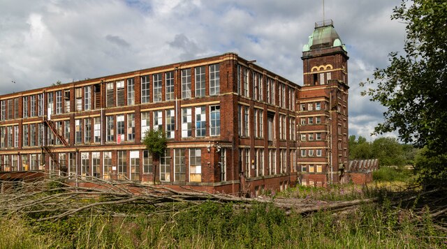
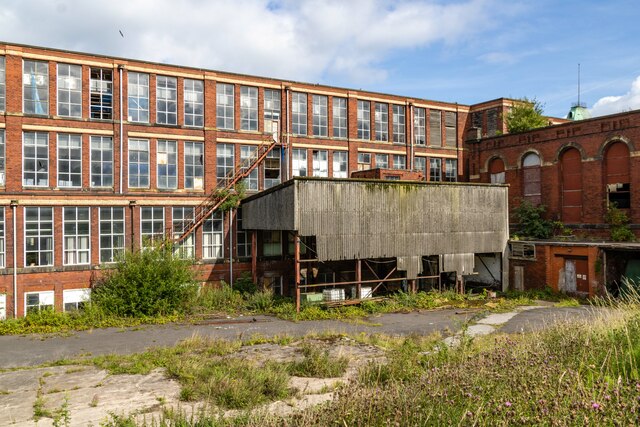
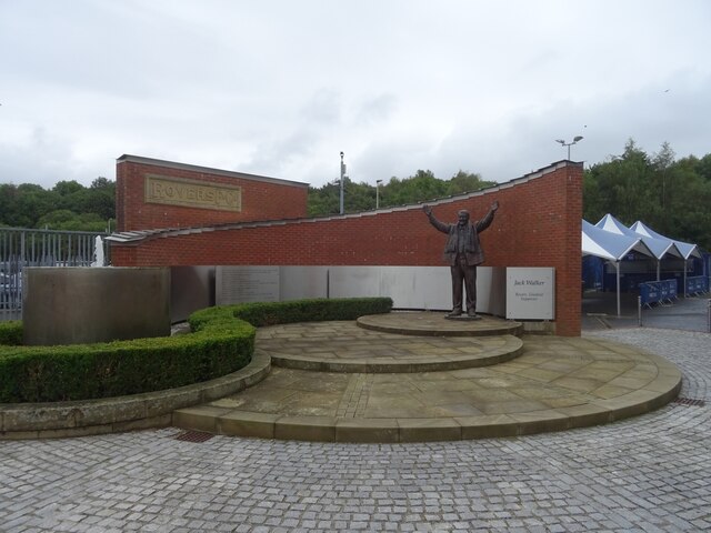
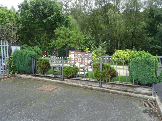
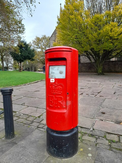
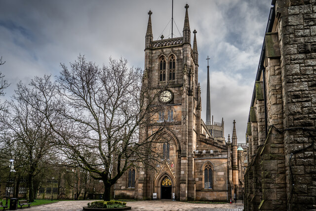
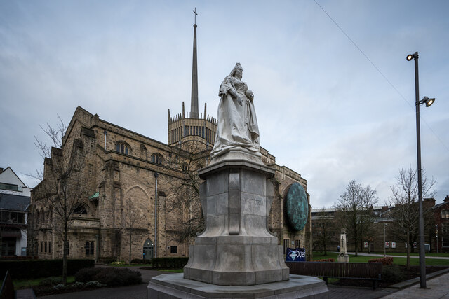
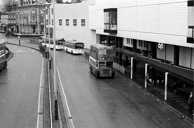
Whinny Edge Images
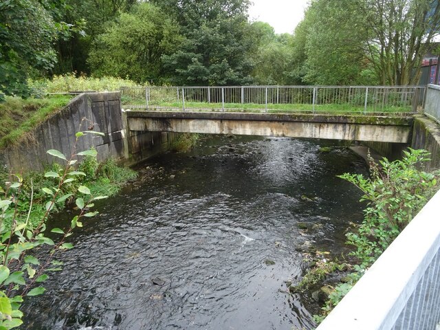
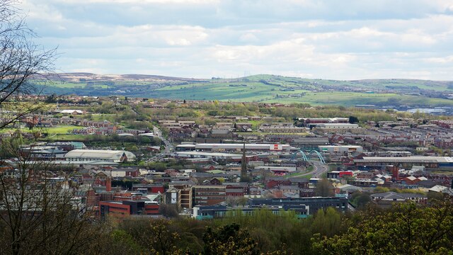
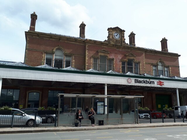
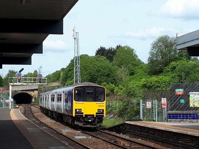
Images are sourced within 2km of 53.736451/-2.4623773 or Grid Reference SD6926. Thanks to Geograph Open Source API. All images are credited.

Whinny Edge is located at Grid Ref: SD6926 (Lat: 53.736451, Lng: -2.4623773)
Unitary Authority: Blackburn with Darwen
Police Authority: Lancashire
What 3 Words
///harp.others.pinch. Near Blackburn, Lancashire
Nearby Locations
Related Wikis

Royal Blackburn Teaching Hospital
The Royal Blackburn Teaching Hospital is an acute District General Hospital in Blackburn, Lancashire operated by the East Lancashire Hospitals NHS Trust...
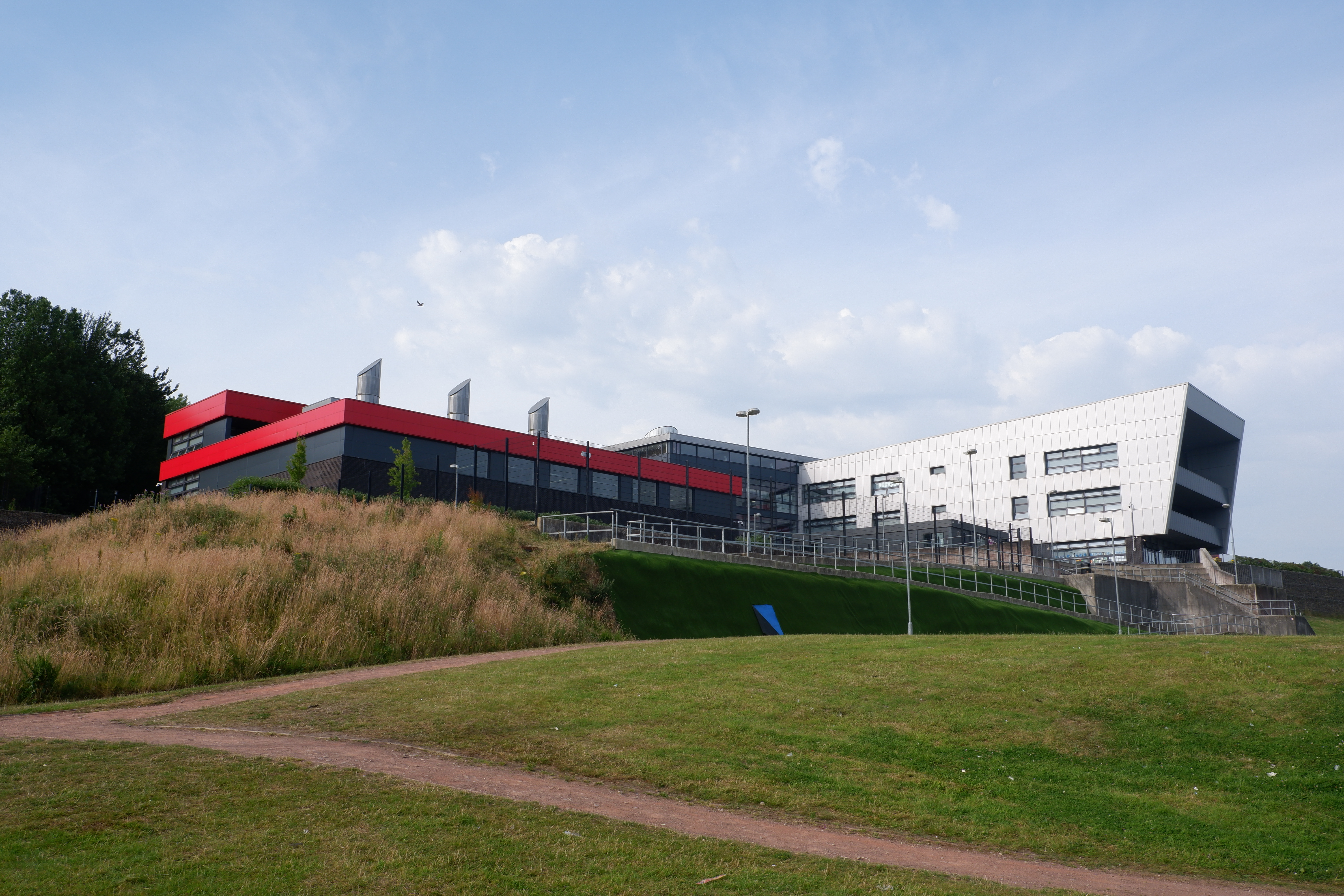
Blackburn Central High School
Blackburn Central High School is a co-educational secondary school located in Blackburn, Lancashire.The school was formed from the merger of Beardwood...

Our Lady and St John Catholic College
Our Lady & St John Catholic College is a mixed 11-16 comprehensive school in Blackburn, Lancashire, England. The school was created in 1987 by the amalgamation...

Jaame Masjid, Blackburn
Jaame Masjid, also known as the Jaame Masjid Islamic Cultural Centre is a mosque in Blackburn, Lancashire, England. It was established from a house in...
St Thomas' Church, Blackburn
St Thomas' Church was an Anglican parish church in Blackburn, Lancashire, England. The church was situated on the eastern side of Lambeth Street, between...

Blackburn with Darwen Teaching Primary Care Trust
Blackburn with Darwen tPCT was an English National Health Service primary care trust, responsible for commissioning & purchasing of health care in Blackburn...

Blackamoor, Lancashire
Blackamoor is one village in Lancashire, England which is to the south of Blackburn.It is located on the cross roads between Lower Darwen and Guide where...
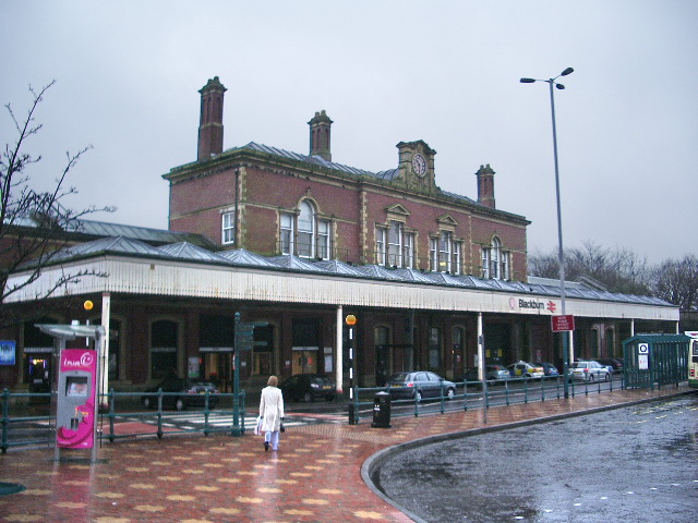
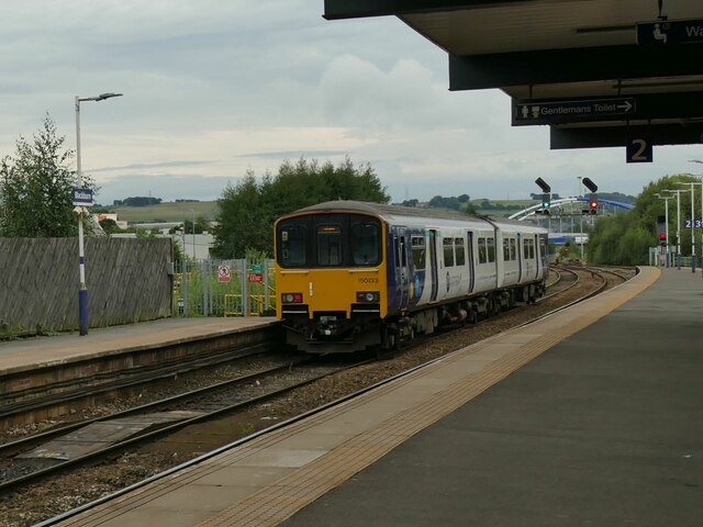
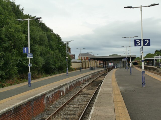
Blackburn railway station
Blackburn railway station serves the town of Blackburn in Lancashire, England. It is 12 miles (19 km) east of Preston and is managed and served by Northern...
Nearby Amenities
Located within 500m of 53.736451,-2.4623773Have you been to Whinny Edge?
Leave your review of Whinny Edge below (or comments, questions and feedback).