Wetmore
Settlement in Herefordshire
England
Wetmore
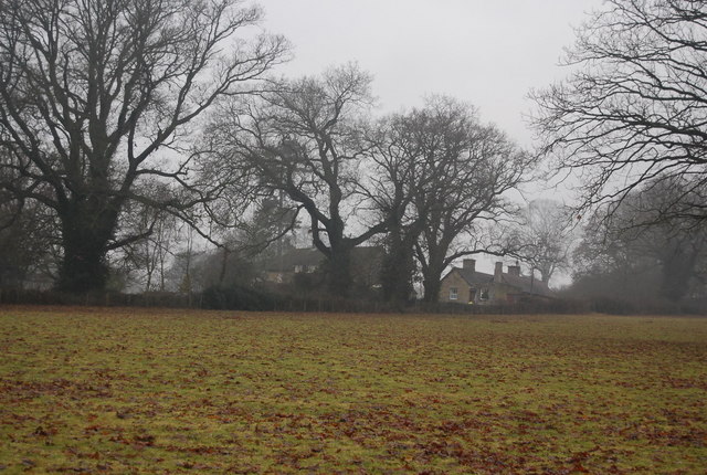
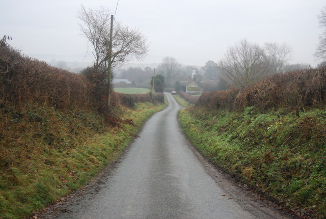
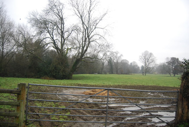
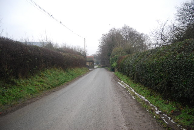
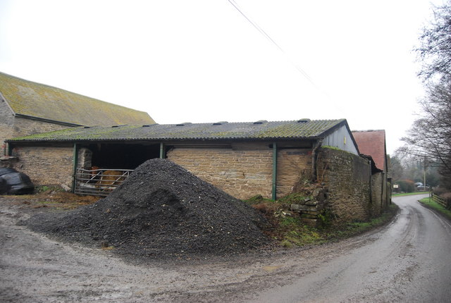
Wetmore is a small village located in the county of Herefordshire, England. Situated approximately 8 miles north of Hereford, the village is nestled in a picturesque rural setting, surrounded by rolling hills and farmland.
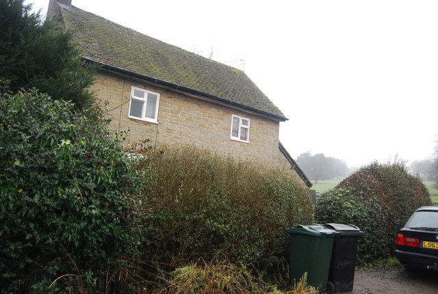
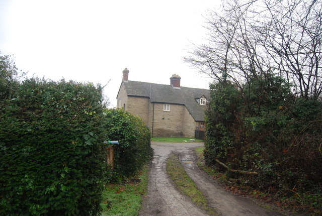
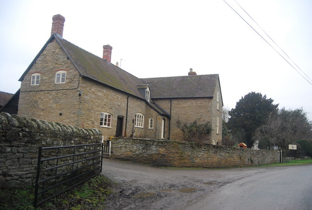
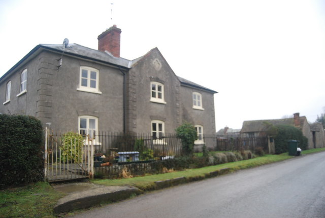
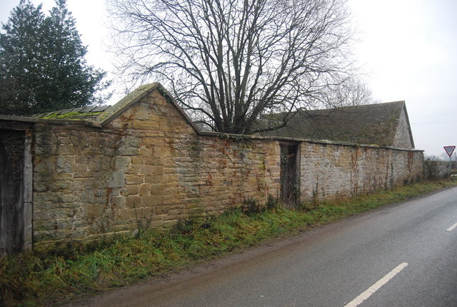
With a population of around 500 residents, Wetmore exudes a tight-knit community atmosphere. The village is characterized by its quaint and charming traditional cottages, which add to its idyllic appeal. The architectural style reflects the rich history of the area, with some of the buildings dating back several centuries.
Wetmore offers a range of amenities to cater to the needs of its residents. The village boasts a local pub, The Wetmore Arms, where locals and visitors can enjoy a pint of locally brewed ale and sample traditional British cuisine. Additionally, there is a convenience store, providing a range of essential groceries and household items.
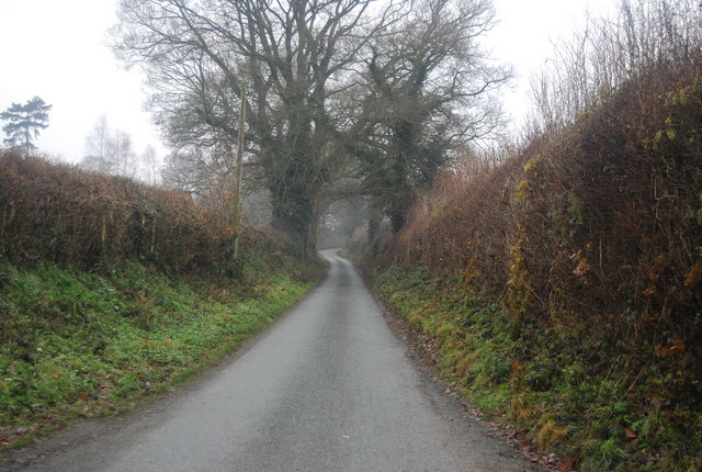
The surrounding countryside offers plenty of opportunities for outdoor activities and exploration. The village is located near the popular walking trail, Offa's Dyke Path, which follows the ancient border between England and Wales. This presents residents and visitors with the chance to embark on scenic hikes and immerse themselves in the area's natural beauty.
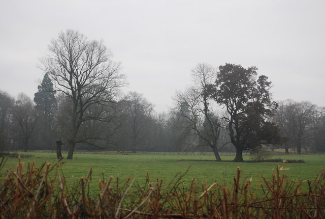
Wetmore is also in close proximity to several notable attractions. The historic city of Hereford offers a variety of cultural and historical landmarks, including Hereford Cathedral and the Mappa Mundi exhibition. The nearby Wye Valley, designated an Area of Outstanding Natural Beauty, provides breathtaking landscapes and outdoor recreational activities such as kayaking and cycling.
Overall, Wetmore offers a tranquil and welcoming environment, perfect for those seeking a peaceful retreat in the heart of the Herefordshire countryside.
If you have any feedback on the listing, please let us know in the comments section below.
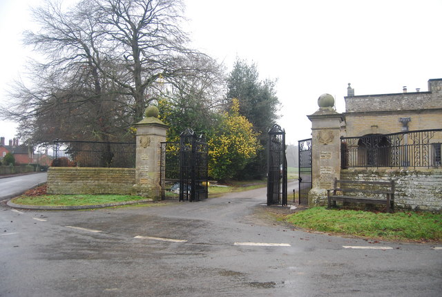
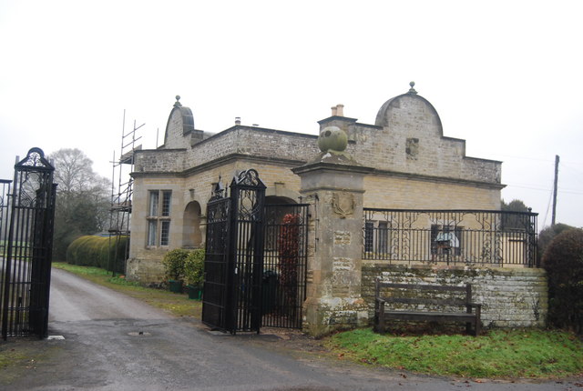
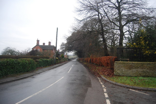
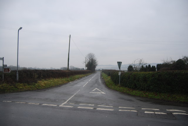
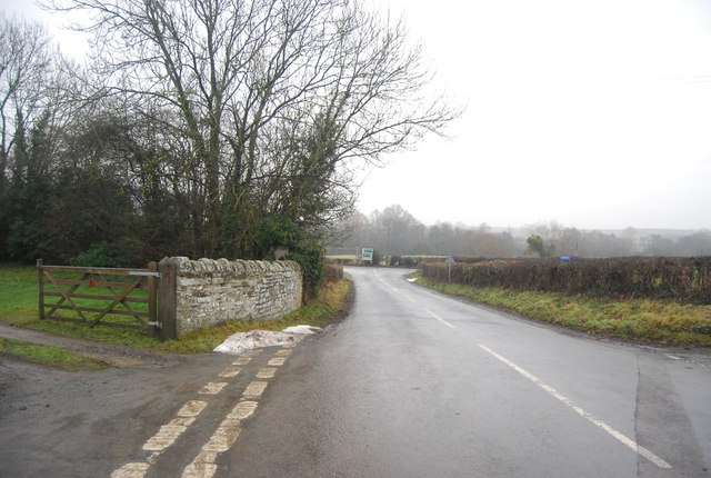
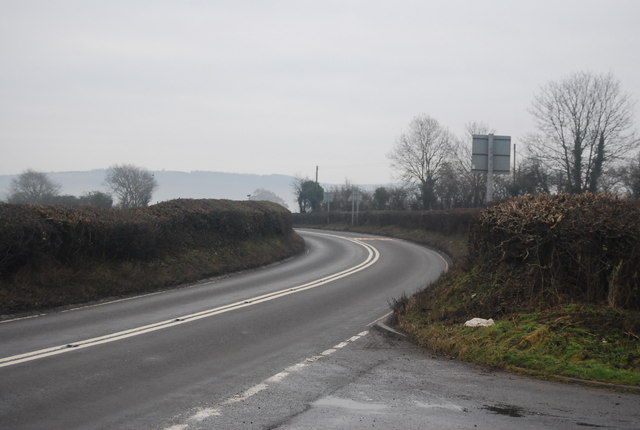
Wetmore Images
Images are sourced within 2km of 52.38929/-2.8178252 or Grid Reference SO4477. Thanks to Geograph Open Source API. All images are credited.
Wetmore is located at Grid Ref: SO4477 (Lat: 52.38929, Lng: -2.8178252)
Unitary Authority: County of Herefordshire
Police Authority: West Merica
What 3 Words
///oblige.rehearsed.spearing. Near Downton, Herefordshire
Related Wikis

Ferney Hall
Ferney Hall is a mid-Victorian-era mansion house situated at Onibury, Shropshire, England. It is a Grade II listed building. The hall is listed Grade II...

Stokesay Court
Stokesay Court is a country house and estate in the parish of Onibury (but named after Stokesay) in Shropshire, England. Described by John Newman, in the...
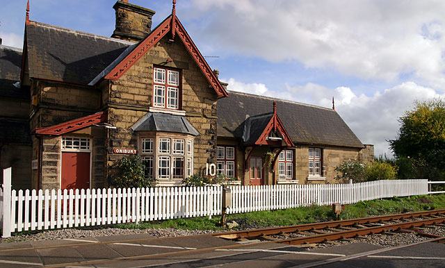
Onibury railway station
Onibury railway station was a station in Onibury, Shropshire, England. The station was opened in 1852 and closed in 1958. == See also == Listed buildings...

Onibury
Onibury is a village and civil parish on the River Onny in southern Shropshire, about 4 miles (6.4 km) northwest of the market town of Ludlow. The parish...

Bringewood Ironworks
Bringewood Ironworks was a charcoal ironworks in north Herefordshire. It was powered by the river Teme, with a blast furnace, a finery forge and latterly...

Downton Castle
Downton Castle is a grade I listed 18th-century country house in the parish of Downton on the Rock in Herefordshire, England, situated about 5 miles...

Brandhill
Brandhill is a hamlet in Shropshire, England.

Bromfield, Shropshire
Bromfield is a village and civil parish in Shropshire, England. According to the 2001 census it had a population of 306, which had fallen to 277 at the...
Related Videos

Nearby Amenities
Located within 500m of 52.38929,-2.8178252Have you been to Wetmore?
Leave your review of Wetmore below (or comments, questions and feedback).