Wetheral Shield
Settlement in Cumberland Carlisle
England
Wetheral Shield

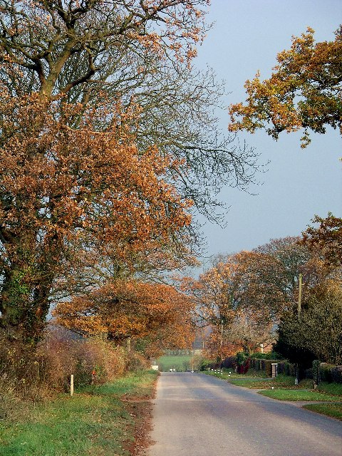
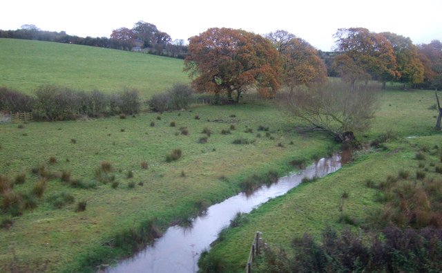
Wetheral Shield is a small village located in the district of Carlisle, in the county of Cumberland, England. Situated on the northern bank of the River Eden, it is a picturesque hamlet that is surrounded by lush green countryside and offers breathtaking views of the nearby hills.
The village is known for its historical significance, with evidence of human habitation dating back to Roman times. In fact, there are remnants of a Roman fort known as Petriana nearby, which adds to the area's charm and appeal to history enthusiasts.
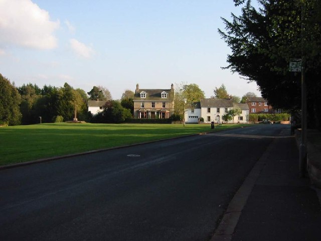
Wetheral Shield is primarily a residential area, with a small population that enjoys a peaceful and tranquil lifestyle. The village is characterized by its traditional stone-built houses and cottages, which add to its quaint and rustic charm.
Despite its small size, the village offers a range of amenities for its residents, including a local pub, a village hall, and a primary school. These facilities contribute to a strong sense of community and provide opportunities for social engagement.
The surrounding countryside provides ample opportunities for outdoor activities such as hiking, cycling, and fishing. The nearby River Eden is also a popular spot for water sports enthusiasts.
Overall, Wetheral Shield offers a serene and idyllic setting for those seeking a peaceful retreat in the heart of the English countryside. Its historical significance, natural beauty, and community spirit make it a truly unique place to live or visit.
If you have any feedback on the listing, please let us know in the comments section below.
Wetheral Shield Images
Images are sourced within 2km of 54.864557/-2.8377663 or Grid Reference NY4652. Thanks to Geograph Open Source API. All images are credited.


Wetheral Shield is located at Grid Ref: NY4652 (Lat: 54.864557, Lng: -2.8377663)
Administrative County: Cumbria
District: Carlisle
Police Authority: Cumbria
What 3 Words
///pointed.resonates.thrusters. Near Wetheral, Cumbria
Nearby Locations
Related Wikis

Cumwhinton
Cumwhinton is a small village in Cumbria, England. It is around one mile away from both Scotby and Wetheral, and four miles from Carlisle. The village...

Cumwhinton railway station
Cumwhinton railway station was a railway station serving the village of Cumwhinton in Cumbria, England. The station was located on the Settle and Carlisle...
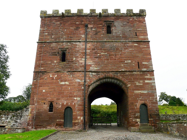
Wetheral Priory Gatehouse
Wetheral Priory Gatehouse is a 15th-century stone fortification in Wetheral, Cumbria. The priory was founded at the start of the 12th century and the gatehouse...

Wetheral
Wetheral is a village, civil parish and electoral ward in Cumbria, England. At the 2001 census, the population of the Wetheral Ward was 4,039, The civil...
Cocklakes
Cocklakes is a hamlet in Cumbria, England. British Gypsum formerly had a plant in Cocklakes. It has a lake which is used for fishing. It is served by the...

Corby Castle
Corby Castle is a Grade I listed building and ancestral home of the Howard family situated on the southern edge of the village of Great Corby in northern...

Great Corby
Great Corby is a village in northern Cumbria, England, above the eastern bank of a wooded gorge on the River Eden. Directly across the river from Great...

Wetheral railway station
Wetheral is a railway station on the Tyne Valley Line, which runs between Newcastle and Carlisle via Hexham. The station, situated 4 miles 7 chains (4...
Nearby Amenities
Located within 500m of 54.864557,-2.8377663Have you been to Wetheral Shield?
Leave your review of Wetheral Shield below (or comments, questions and feedback).