Duxmoor
Settlement in Shropshire
England
Duxmoor

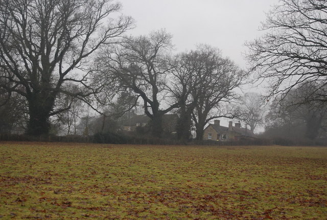
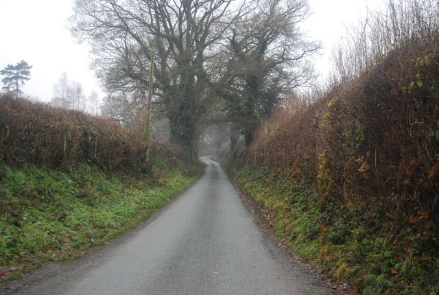
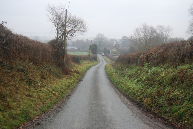
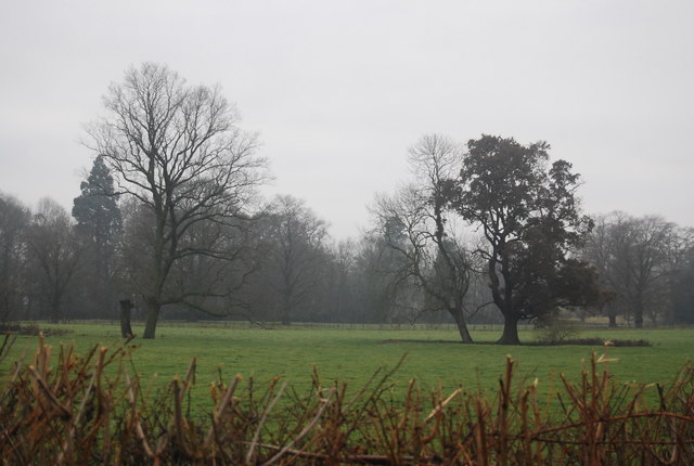
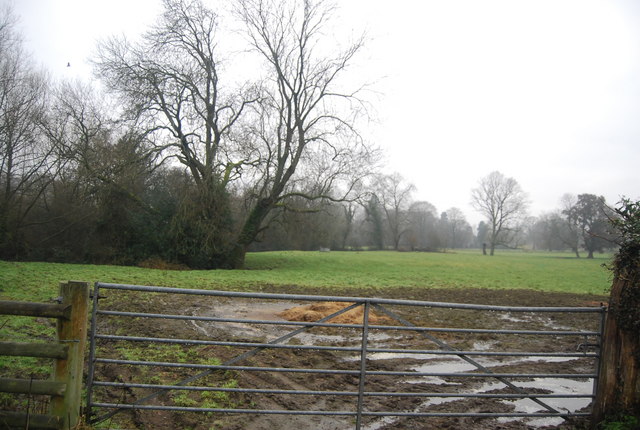
Duxmoor is a small village located in the county of Shropshire in England. Situated in the West Midlands region, it is nestled in the picturesque countryside, surrounded by rolling hills and green meadows. The village is part of the larger Shropshire Hills Area of Outstanding Natural Beauty, known for its stunning landscapes and diverse wildlife.
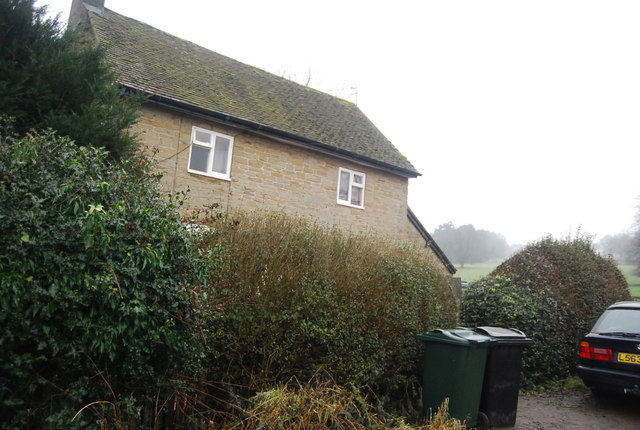
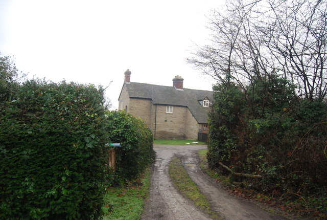
With a population of around 500 residents, Duxmoor has a close-knit community feel. The village is characterized by charming cottages and traditional architecture, reflecting its rich historical heritage. The origins of Duxmoor can be traced back to medieval times, and remnants of its past can still be seen in some of the older buildings and landmarks.
Despite its small size, Duxmoor offers a range of amenities to its residents. The village has a primary school, a village hall, and a local pub, providing a hub for social activities. The surrounding countryside provides ample opportunities for outdoor pursuits, including hiking, cycling, and horse riding. The nearby Shropshire Hills offer stunning walking trails and panoramic views.
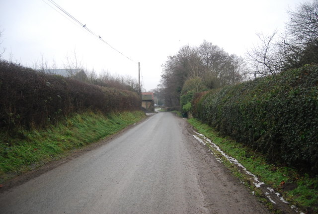
Duxmoor benefits from a peaceful and tranquil atmosphere, making it an ideal place for those seeking a slower-paced lifestyle away from the hustle and bustle of larger towns and cities. Its close proximity to other towns in Shropshire, such as Shrewsbury and Ludlow, ensures that residents have access to a wider range of services and amenities.
Overall, Duxmoor is a charming village that offers a perfect blend of natural beauty, historical significance, and a strong sense of community.
If you have any feedback on the listing, please let us know in the comments section below.
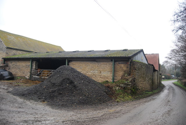
Duxmoor Images
Images are sourced within 2km of 52.39392/-2.817499 or Grid Reference SO4477. Thanks to Geograph Open Source API. All images are credited.


Duxmoor is located at Grid Ref: SO4477 (Lat: 52.39392, Lng: -2.817499)
Unitary Authority: Shropshire
Police Authority: West Mercia
What 3 Words
///attitudes.fittingly.waters. Near Downton, Herefordshire
Related Wikis

Stokesay Court
Stokesay Court is a country house and estate in the parish of Onibury (but named after Stokesay) in Shropshire, England. Described by John Newman, in the...

Ferney Hall
Ferney Hall is a mid-Victorian-era mansion house situated at Onibury, Shropshire, England. It is a Grade II listed building. The hall is listed Grade II...
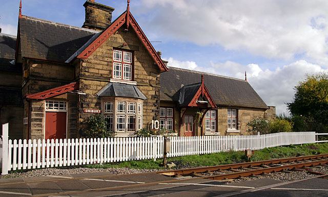
Onibury railway station
Onibury railway station was a station in Onibury, Shropshire, England. The station was opened in 1852 and closed in 1958. == See also == Listed buildings...

Onibury
Onibury is a village and civil parish on the River Onny in southern Shropshire, about 4 miles (6.4 km) northwest of the market town of Ludlow. The parish...

Brandhill
Brandhill is a hamlet in Shropshire, England.

Bringewood Ironworks
Bringewood Ironworks was a charcoal ironworks in north Herefordshire. It was powered by the river Teme, with a blast furnace, a finery forge and latterly...

Downton Castle
Downton Castle is a grade I listed 18th-century country house in the parish of Downton on the Rock in Herefordshire, England, situated about 5 miles...

Bromfield, Shropshire
Bromfield is a village and civil parish in Shropshire, England. According to the 2001 census it had a population of 306, which had fallen to 277 at the...
Nearby Amenities
Located within 500m of 52.39392,-2.817499Have you been to Duxmoor?
Leave your review of Duxmoor below (or comments, questions and feedback).