West End

Settlement in Huntingdonshire Huntingdonshire

England

West End

St Peter's church in Oldhurst, Cambridgeshire
St Peter's church in Oldhurst, Cambridgeshire Credit: Richard Humphrey

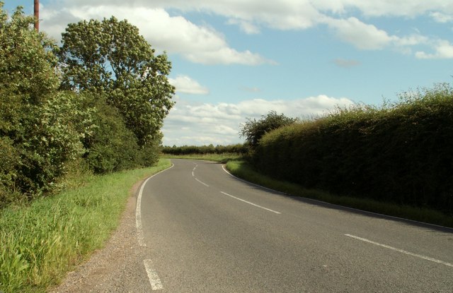
West End is a small village located in the district of Huntingdonshire, in the county of Cambridgeshire, England. Situated approximately 3 miles west of the historic market town of Huntingdon, West End is a rural community surrounded by picturesque countryside.

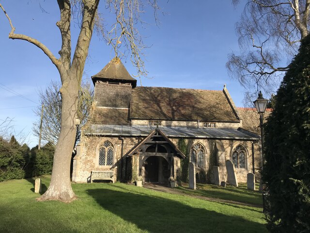
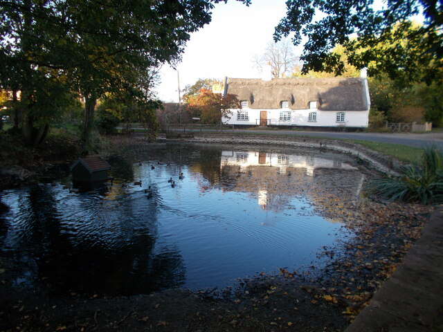
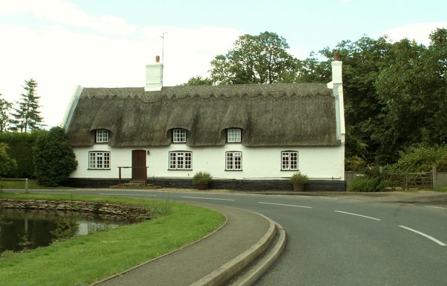
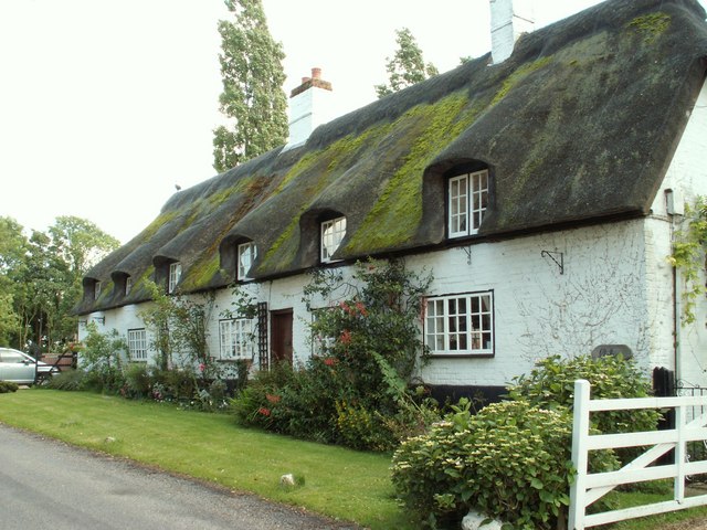
The village is characterized by its charming and traditional architecture, with many of the buildings dating back to the 17th and 18th centuries. The houses are predominantly made of local stone, giving the village a cozy and timeless feel.

West End is a close-knit community with a population of around 300 residents. The village has a strong sense of community spirit, with regular events and activities organized by local groups and organizations. The village hall is the hub of village life, hosting various social gatherings, clubs, and events throughout the year.

Although small, West End boasts several amenities for its residents. These include a primary school, a village shop, and a pub, providing essential services and a place for locals to socialize. The village is also well-connected, with good transport links to nearby towns and cities.

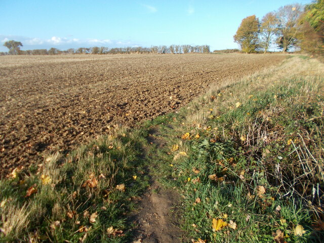
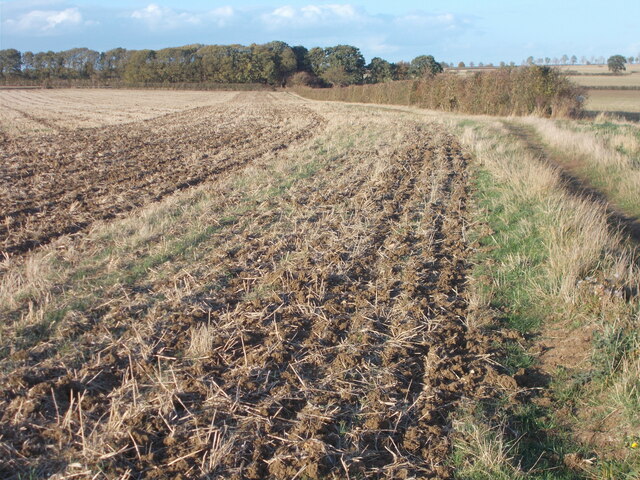
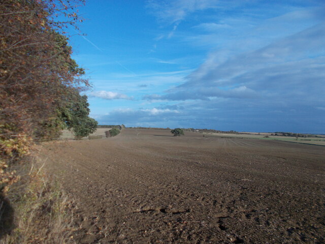
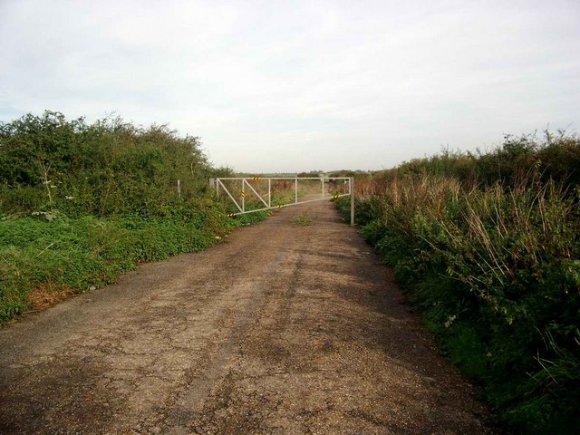
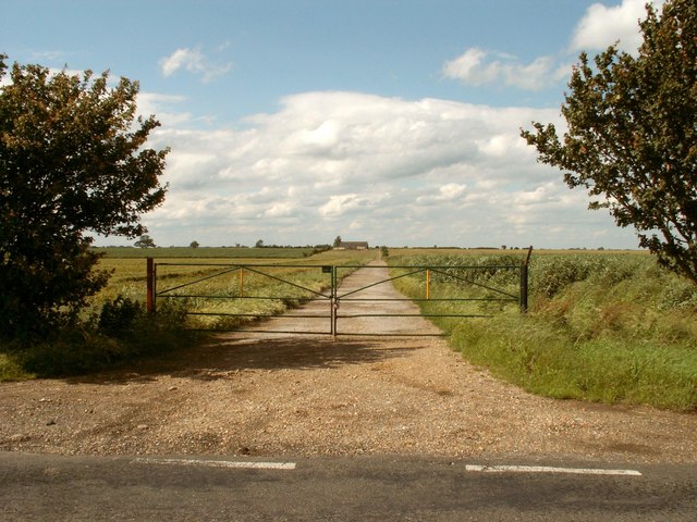
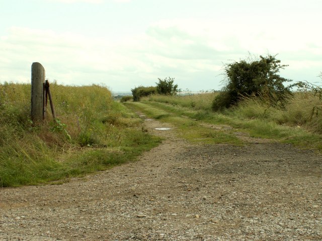
Surrounded by beautiful countryside, West End is an ideal location for those who enjoy outdoor activities. The village is close to several nature reserves, providing opportunities for walking, cycling, and wildlife spotting. The nearby Grafham Water also offers water sports and fishing activities.

In summary, West End is a charming and vibrant village in Huntingdonshire, known for its picturesque setting, strong community spirit, and access to the natural beauty of the surrounding countryside.

If you have any feedback on the listing, please let us know in the comments section below.
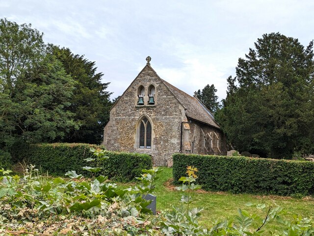
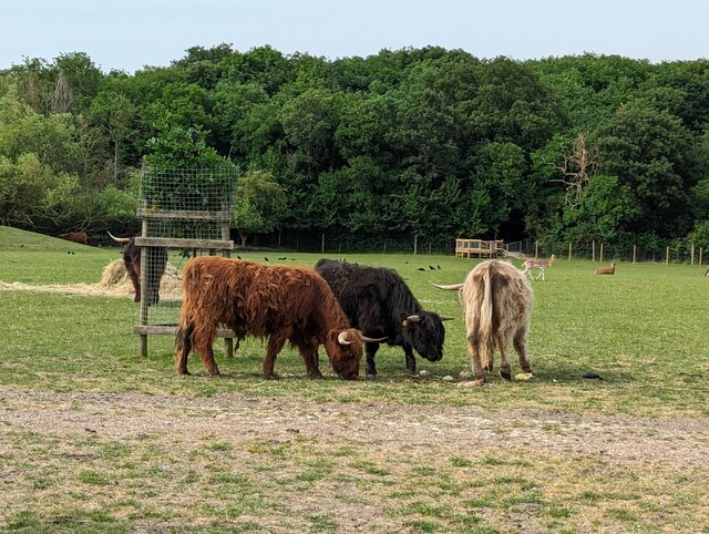
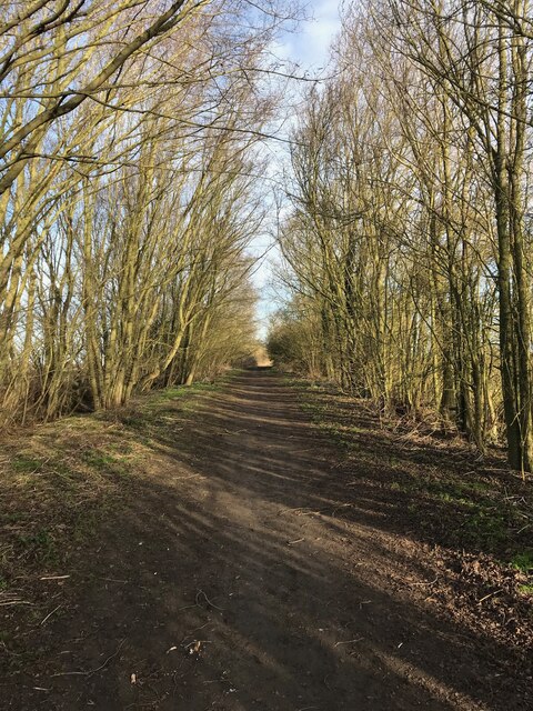
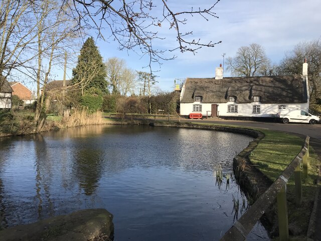
West End Images

Images are sourced within 2km of 52.366795/-0.073547072 or Grid Reference TL3176. Thanks to Geograph Open Source API. All images are credited.

St Peter's church in Oldhurst, Cambridgeshire
Highland cattle at Johnson's Farm, Oldhurst
Track to Woodhurst
Track to Woodhurst
Woodhurst village pond
Woodhurst parish church
Field edge path leading towards Woodhurst
On the Via Beata between St Ives and Woodhurst This path between St Ives and Woodhurst borders a field edge before continuing ahead through deciduous woodland to the village of Woodhurst.
On the Via Beata between St Ives and Woodhurst
This path between St Ives and Woodhurst borders a field edge before continuing ahead through deciduous woodland to the village of Woodhurst.
Last view of the open landscape before entering woodland.
Woodhurst village This appears to be the usual shot of the village with the pond in the foreground. As this is a ring village, there is no excuse for getting lost since, by following the road ahead, you arrive back at the point where you started ! Hurst, as part of a place name, means a grove or wooded hillock and this is an appropriate name for the village.
Woodhurst village
This appears to be the usual shot of the village with the pond in the foreground. As this is a ring village, there is no excuse for getting lost since, by following the road ahead, you arrive back at the point where you started ! Hurst, as part of a place name, means a grove or wooded hillock and this is an appropriate name for the village.
The end of the road Continuing would mean straying onto Wyton Airfield - an RAF base.
The end of the road
Continuing would mean straying onto Wyton Airfield - an RAF base.
The road to Pidley Lodge Farm
Part of Church Farm, as seen from Church Street
The road into Woodhurst from Oldhurst
Thatched cottage at Woodhurst This is known as Horseshoe Cottage and was once a public house called 'The Three Horseshoes'
Thatched cottage at Woodhurst
This is known as Horseshoe Cottage and was once a public house called 'The Three Horseshoes'
Cottages at Woodhurst, in South Street
Farm track, just east of Woodhurst
Old Hurst - the village hall. The hall building was originally located at nearby RAF Wyton.
Old Hurst - the village hall.
The hall building was originally located at nearby RAF Wyton.
Footpath to Spinney Moat Footpath to Spinney Moat cuts up to the left of the hedge
Footpath to Spinney Moat
Footpath to Spinney Moat cuts up to the left of the hedge
Show me another place!

West End is located at Grid Ref: TL3176 (Lat: 52.366795, Lng: -0.073547072)

Administrative County: Cambridgeshire

District: Huntingdonshire

Police Authority: Cambridgeshire

What 3 Words

///hits.renew.morphing. Near Warboys, Cambridgeshire

Related Wikis

Woodhurst

Woodhurst is a village and civil parish in Cambridgeshire, England. Woodhurst lies approximately 5 miles (8 km) north-east of Huntingdon and just north...
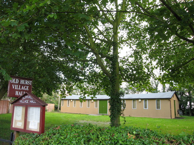
Old Hurst

Old Hurst is a village and civil parish in Cambridgeshire, England, approximately 5 miles (8 km) north-east of Huntingdon. It is situated within Huntingdonshire...

St Ives Rural District

St Ives was a rural district in Huntingdonshire from 1894 to 1974, surrounding the urban area of St Ives. It was formed under the Local Government Act...

Hurstingstone (hundred)

Hurstingstone was a hundred of Huntingdonshire, England that was mentioned in the Domesday Book of 1086. According to Victoria County History, the derivation...

Nearby Amenities

Located within 500m of 52.366795,-0.073547072
Woodhurst
Place: village
Source Name: local knowledge
Lat/Long: 52.3661068/-0.0719159
Created By: Merkaartor 0.12
Lat/Long: 52.3653804/-0.0704991
Created By: Merkaartor 0.12
Lat/Long: 52.3654393/-0.0688039
Created By: Merkaartor 0.12
Lat/Long: 52.3655507/-0.0677632
Bus Stop
The Chapel
Naptan AtcoCode: 0500HWOOT003
Naptan Bearing: W
Naptan CommonName: The Chapel
Naptan Indicator: o/s
Naptan Landmark: St John's Close
Naptan NaptanCode: cmbgjajd
Naptan Street: Church Street
Naptan Verified: no
Source: naptan_import
Lat/Long: 52.367111/-0.0675141
Bus Stop
The Chapel
Naptan AtcoCode: 0500HWOOT004
Naptan Bearing: E
Naptan BusStopType: CUS
Naptan CommonName: The Chapel
Naptan Indicator: opp
Naptan Landmark: St John's Close
Naptan NaptanCode: cmbgjamj
Naptan Street: Church Street
Naptan Verified: no
Source: naptan_import
Lat/Long: 52.3671583/-0.0675134
Grange Farm
Addr City: Woodhurst
Addr Postcode: PE28 3BQ
Addr Street: Old Hurst Road
Landuse: farm
Note Retag: CS #48756035
Lat/Long: 52.3652545/-0.0791064
Barrier: cycle_barrier
Fixme: Can wheelchair users transverse this barrier?
Foot: yes
Lat/Long: 52.3669498/-0.0685408
Community Centre
Woodhurst Village Hall
Community Centre: village_hall
Lat/Long: 52.366638/-0.0675965
Telephone
Defibrillator
Booth: K6
Colour: red
Defibrillator Location: inside red phone box, Church Street, Woodhurst
Emergency: defibrillator
Man Made: telephone_box
Lat/Long: 52.3670814/-0.0673937
Post Box
Post Box Type: wall
Royal Cypher: GR
Royal Cypher Wikidata: Q33102273
Lat/Long: 52.3670718/-0.0672765
Power: pole
Lat/Long: 52.3689148/-0.0708105
Power: pole
Lat/Long: 52.3693668/-0.0719316
Power: pole
Lat/Long: 52.3682794/-0.0676776
Power: pole
Lat/Long: 52.3702086/-0.0740828
Power: pole
Lat/Long: 52.3697892/-0.0730099
Power: pole
Lat/Long: 52.3683873/-0.0684987
Power: pole
Lat/Long: 52.3684824/-0.0697322
Power: pole
Lat/Long: 52.3706474/-0.0752039
Power: pole
Lat/Long: 52.3681351/-0.0665726
Power: pole
Lat/Long: 52.3643707/-0.074387
Power: pole
Lat/Long: 52.3664254/-0.0750211
Power: pole
Lat/Long: 52.3627304/-0.0756916
Power: pole
Lat/Long: 52.3656722/-0.0751552
Power: pole
Lat/Long: 52.3644468/-0.0734228
Power: pole
Lat/Long: 52.364247/-0.0754035
Power: pole
Lat/Long: 52.3646368/-0.0727843
Power: pole
Lat/Long: 52.3642175/-0.0756328
Power: pole
Lat/Long: 52.3648497/-0.0718347
Power: pole
Lat/Long: 52.3671775/-0.0749004
Power: pole
Lat/Long: 52.3649186/-0.0752786
Power: pole
Lat/Long: 52.3634807/-0.0755361
Power: pole
Lat/Long: 52.3687117/-0.0744903
Power: pole
Lat/Long: 52.3679681/-0.0746914
Power: pole
Lat/Long: 52.3694586/-0.0743132
Power: pole
Lat/Long: 52.3681401/-0.0697322
Power: transformer
Lat/Long: 52.3676292/-0.0699387
Power: pole
Lat/Long: 52.3678585/-0.0698368
Man Made: water_well
Lat/Long: 52.3669969/-0.0682588
Bench
Material: wood
Seats: 2
Lat/Long: 52.3675799/-0.0688034
The data included in this document is from www.openstreetmap.org. The data is made available under ODbL.

Have you been to West End?

Leave your review of West End below (or comments, questions and feedback).