West End
Settlement in Huntingdonshire Huntingdonshire
England
West End
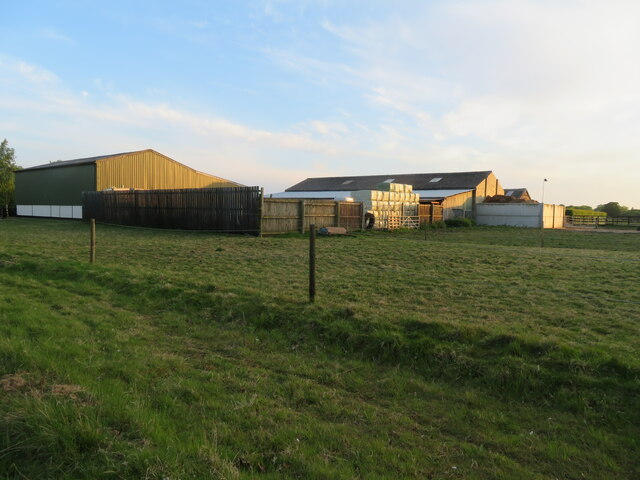
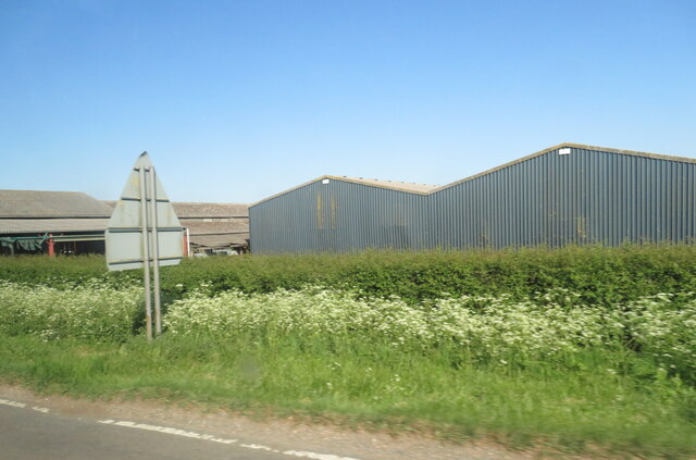
West End is a small village located in the district of Huntingdonshire in the county of Cambridgeshire, England. Situated approximately 2 miles to the west of the town of St. Neots, West End is a rural area known for its picturesque landscapes and peaceful atmosphere.
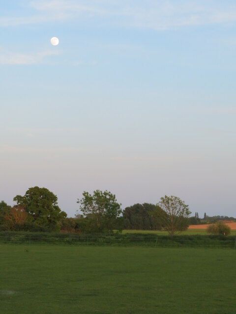
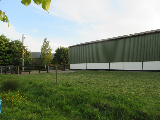
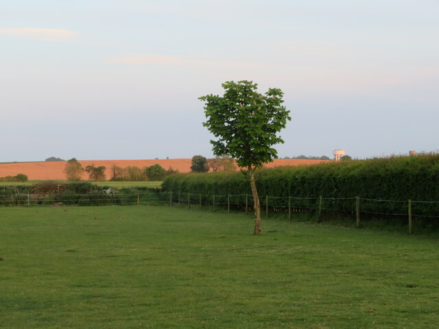
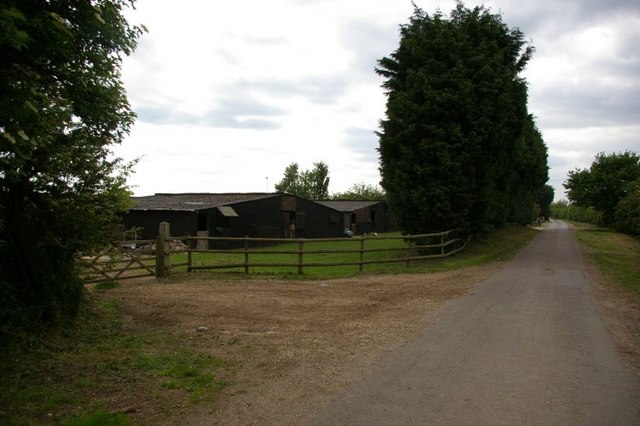
The village is home to a close-knit community of around 500 residents, who enjoy the tranquility and charm of the countryside. The surrounding area is predominantly agricultural, with vast fields and meadows providing a scenic backdrop to the village.
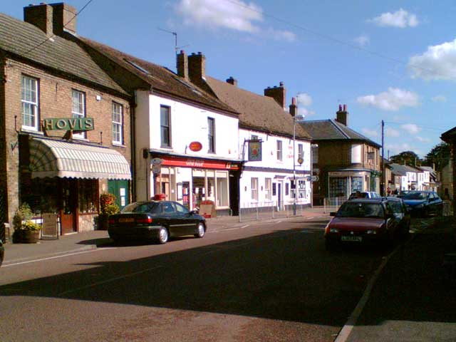
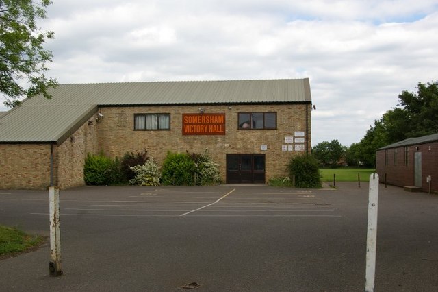
West End boasts a few amenities to cater to the needs of its residents. The village has a pub, The Three Horseshoes, which serves as a social hub for locals and visitors alike. There is also a small convenience store that provides essential groceries and daily necessities.
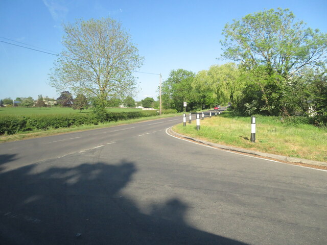
The village is well-connected to nearby towns and cities. The A428 road runs through West End, providing easy access to St. Neots, Cambridge, and Bedford. The nearby St. Neots train station offers regular services to London and other major cities.
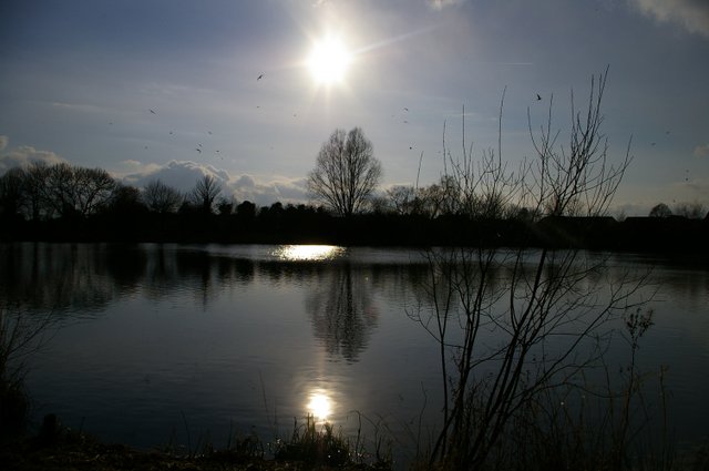
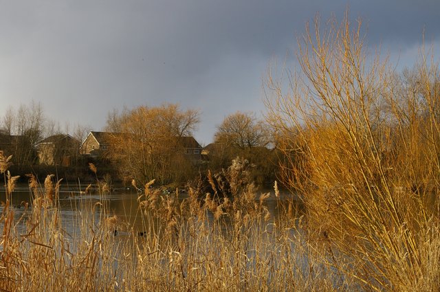
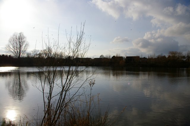
West End benefits from its proximity to the River Great Ouse, which attracts nature enthusiasts and offers opportunities for boating and fishing. The surrounding countryside also provides ample opportunities for walking, cycling, and exploring the outdoors.
Overall, West End is a charming village that offers a peaceful and idyllic setting for its residents, making it an attractive place to live for those seeking a rural lifestyle with easy access to nearby amenities and transport links.
If you have any feedback on the listing, please let us know in the comments section below.
West End Images
Images are sourced within 2km of 52.381931/-0.009764343 or Grid Reference TL3577. Thanks to Geograph Open Source API. All images are credited.

West End is located at Grid Ref: TL3577 (Lat: 52.381931, Lng: -0.009764343)
Administrative County: Cambridgeshire
District: Huntingdonshire
Police Authority: Cambridgeshire
What 3 Words
///lifeguard.scars.zone. Near Somersham, Cambridgeshire
Nearby Locations
Related Wikis

Somersham Town F.C.
Somersham Town Football Club is a football club based in Somersham, near St Ives in Cambridgeshire, England. They club are members of the Cambridgeshire...

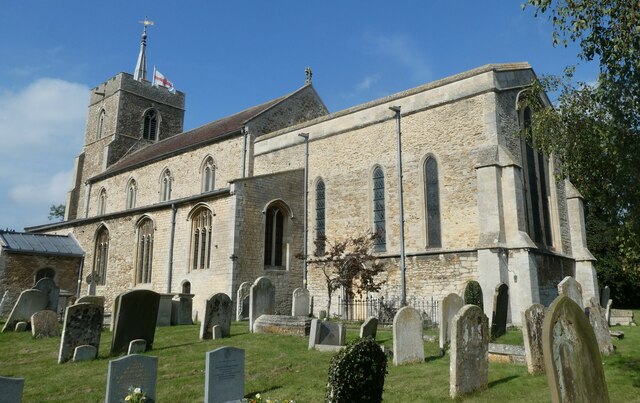
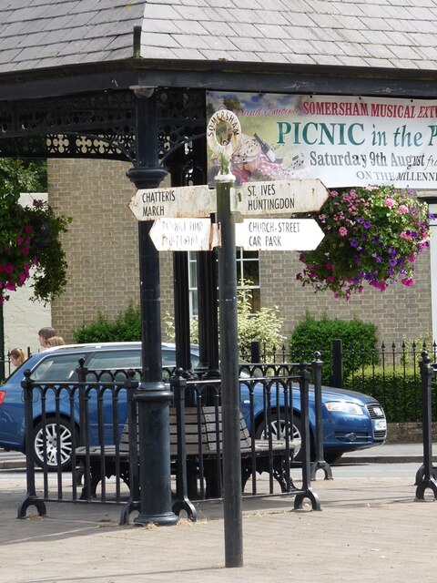
Somersham
Somersham is a village and civil parish in Cambridgeshire, England. Somersham lies approximately 9 miles (14 km) east of Huntingdon and 4 miles (6 km)...

Somersham railway station
Somersham railway station was a station in Somersham, Cambridgeshire on the Great Eastern Railway between March and St Ives. There was also a branch line...
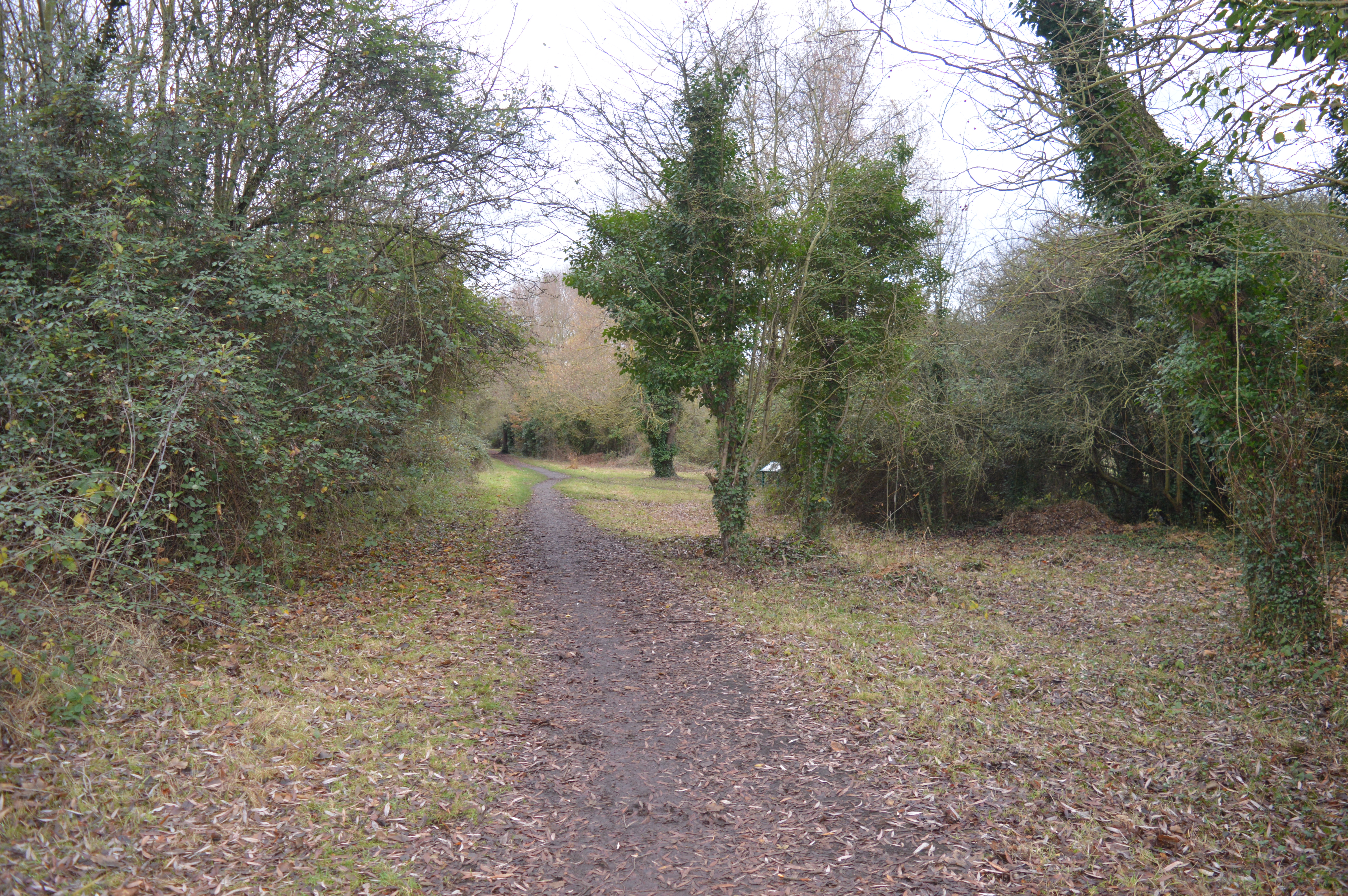
Somersham Local Nature Reserve
Somersham Local Nature Reserve is an 8.9 hectare Local Nature Reserve in Somersham in Cambridgeshire. It is owned and managed by Cambridgeshire County...
Nearby Amenities
Located within 500m of 52.381931,-0.009764343Have you been to West End?
Leave your review of West End below (or comments, questions and feedback).